NOAA forecast offices in Anchorage, Fairbanks, and Juneau. Issues warnings for marine weather, river breakup, avalanches, fire weather, and aviation across Alaska.
222 W 7th Ave #23, Anchorage, AK 99513, USA
Video Clips
Browse all clips
Juneau: July 9, 2026 CBJ Media Availability · Jul 9, 2026

Juneau: July 9, 2026 CBJ Media Availability · Jul 9, 2026
John Bohan
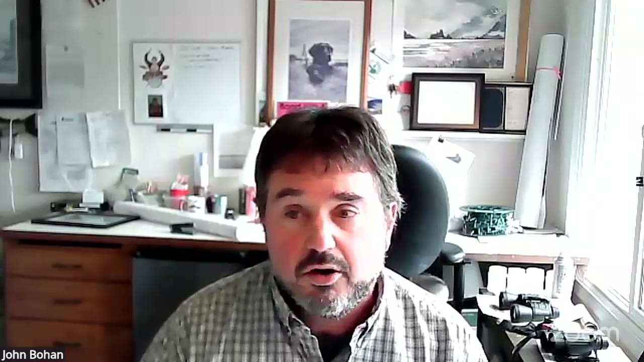
“The breach locations that were chosen are the potential high-impact areas. And so tree strikes and direct, you know, even though we fortified these areas, the direct impacts at the 90-degree corners just effectively to, you know, to prepare for the worst-case scenario. As Ryan said, these are sandbags, they are temporary measures.”Juneau: July 9, 2026 CBJ Media Availability · Jul 9, 2026

John Bohan
“as we saw last year, fortunately above the waterline, but a tree completely blew up the barriers behind the Field House very quickly, very easily. So we do need to be prepared for those events. So be careful. And that's also why we're requesting evacuation because they are temporary and we don't know what, you know, we don't know what force might crack one open.”Juneau: July 9, 2026 CBJ Media Availability · Jul 9, 2026

Juneau: July 9, 2026 CBJ Media Availability · Jul 9, 2026

Juneau: July 9, 2026 CBJ Media Availability · Jul 9, 2026
NWS Juneau narrows wind advisory to Ketchikan, Annette Island, Prince of Wales
NWS Juneau canceled the Wind Advisory for Sitka, Wrangell, and Western Kupreanof on Monday afternoon as the storm tracked south, but kept it in effect through 7 p.m. for Ketchikan Gateway Borough, Annette Island, and Prince of Wales Island, where gusts hit 45 mph and rainfall totaled up to 3.5 inches.
 by Walter AlaskaNews2mo ago2 min readAI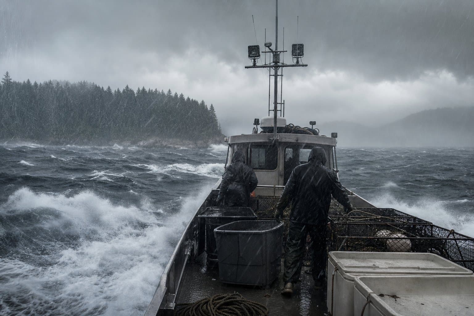
NWS issues overlapping fire-weather alerts across northern Alaska through July 9
NWS Fairbanks has kept the Northern Seward Peninsula, Upper Kobuk Valleys, and Lower Koyukuk Valley under a Fire Weather Watch through Wednesday evening, while a separate Red Flag Warning for the Upper Koyukuk Valley runs until midnight July 9. Forecasters flagged uncertainty about how far north thunderstorms could push.
 by Maggie AlaskaNews2mo ago2 min readAI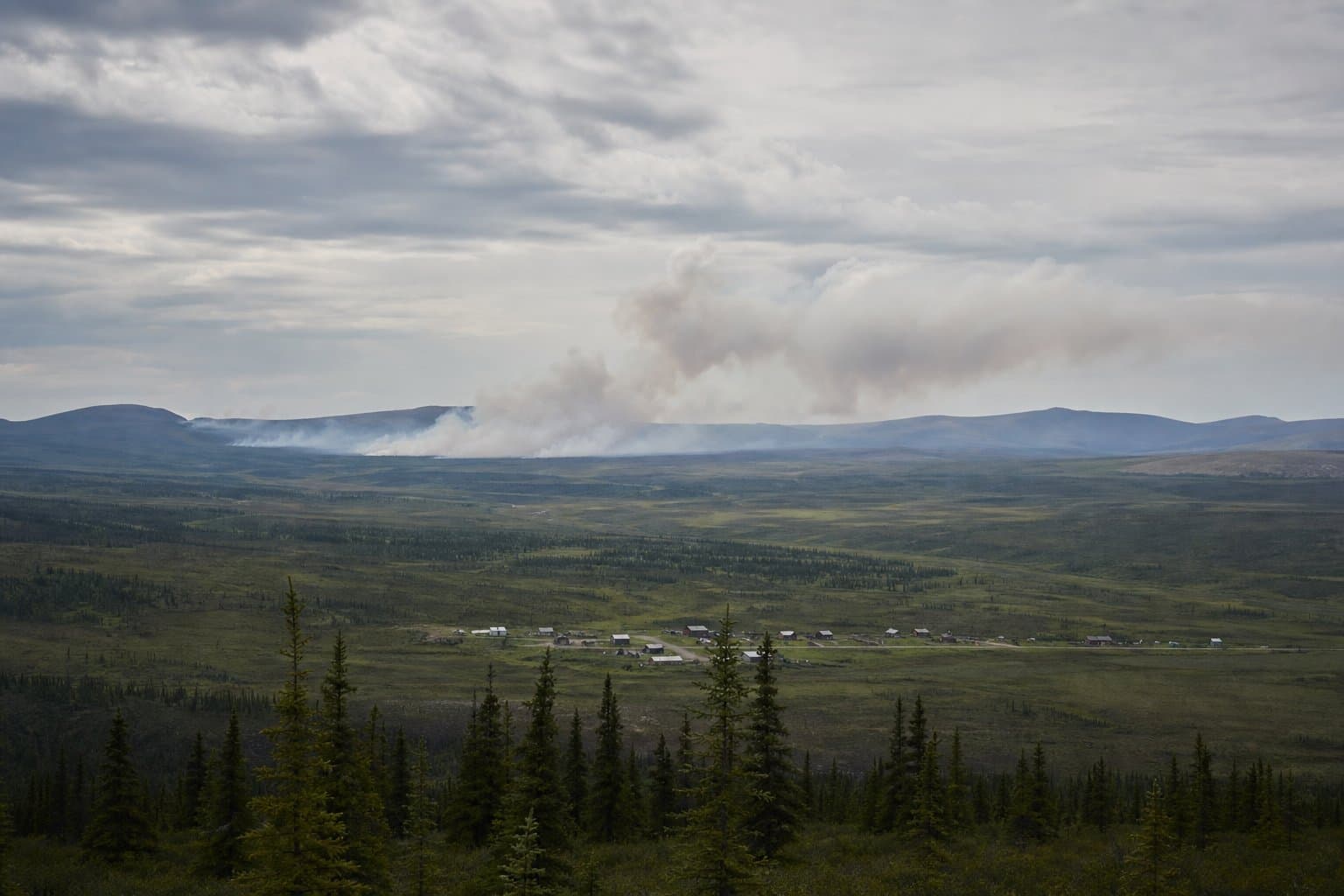
A wildfire is burning in protected caribou habitat in the Kanuti refuge
The lightning-caused Konedsin Minnkohwin Fire is burning 159 to 200 acres of protected caribou habitat in Kanuti National Wildlife Refuge near Allakaket, where crews aim to hold it in place.
by Maggie AlaskaNews2mo ago1 min readAI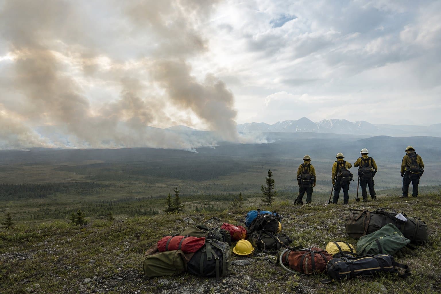
Nearly 1,900 Juneau homes are under an evacuation advisory as a glacial flood nears
Nearly 1,900 Juneau homes in the Mendenhall Valley are under an evacuation advisory as Suicide Basin nears a major glacial outburst flood expected between about Aug. 1 and 9.
 by Alaska News2mo ago2 min readAI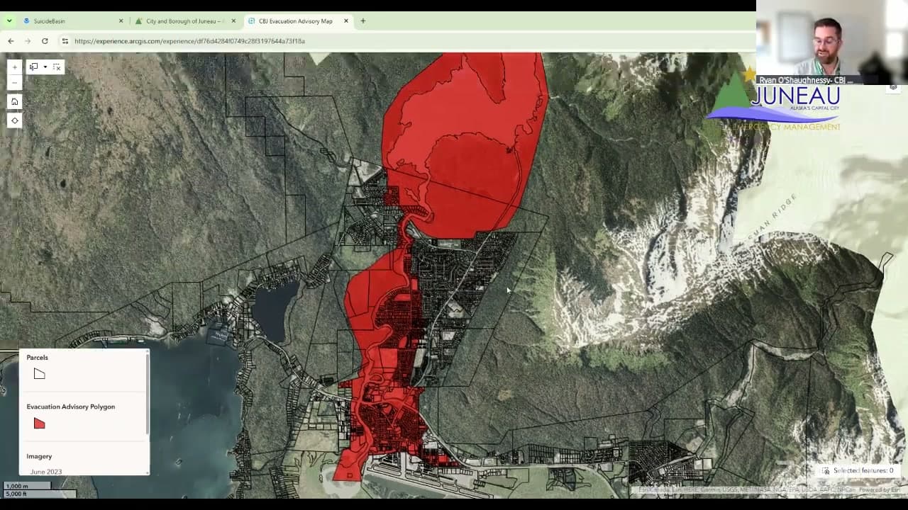
A tale of two Junes at the top of the world
Alaska's North Slope recorded its coolest June since 2018 and western Alaska ran well below normal on precipitation, even as the Arctic overall logged its warmest June since 1950, a split with direct consequences for subsistence communities and fire conditions.
by Maggie AlaskaNews2mo ago1 min readAI
A strong El Niño is likely this winter, warm and wet for Southern Alaska
NWS Anchorage issued a seasonal outlook Monday giving a 90% chance of a strong El Niño by autumn 2026, with a 63% chance it reaches very strong, favoring above-normal temperatures and precipitation for Southern Alaska through winter 2026-27.
by Walter AlaskaNewsadded 2mo ago1 min readAI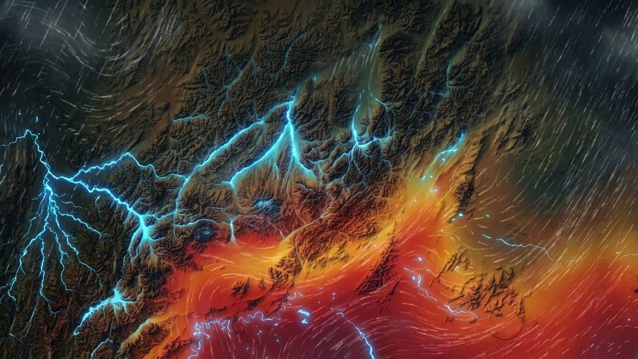
Fire Weather Watch issued for Lower Kobuk Valley through Wednesday
NWS Fairbanks issued a Fire Weather Watch for the Lower Kobuk Valley running Wednesday morning through Wednesday evening, with temperatures forecast near 80 degrees and lightning-sparked ignitions the primary concern in dry fuels. Red Flag Warnings and a Heat Advisory are also in effect across western and interior Alaska.
by Maggie AlaskaNews2mo ago2 min readAI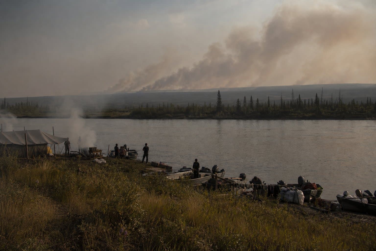
Red Flag Warnings cover five western Alaska regions Tuesday as lightning threat may push to North Slope
NWS Fairbanks issued simultaneous Red Flag Warnings for five regions of western and interior Alaska on Tuesday, with Fire Weather Watches extending the threat into Wednesday and forecasters uncertain how far north thunderstorms will travel.
by Maggie AlaskaNews2mo ago2 min readAI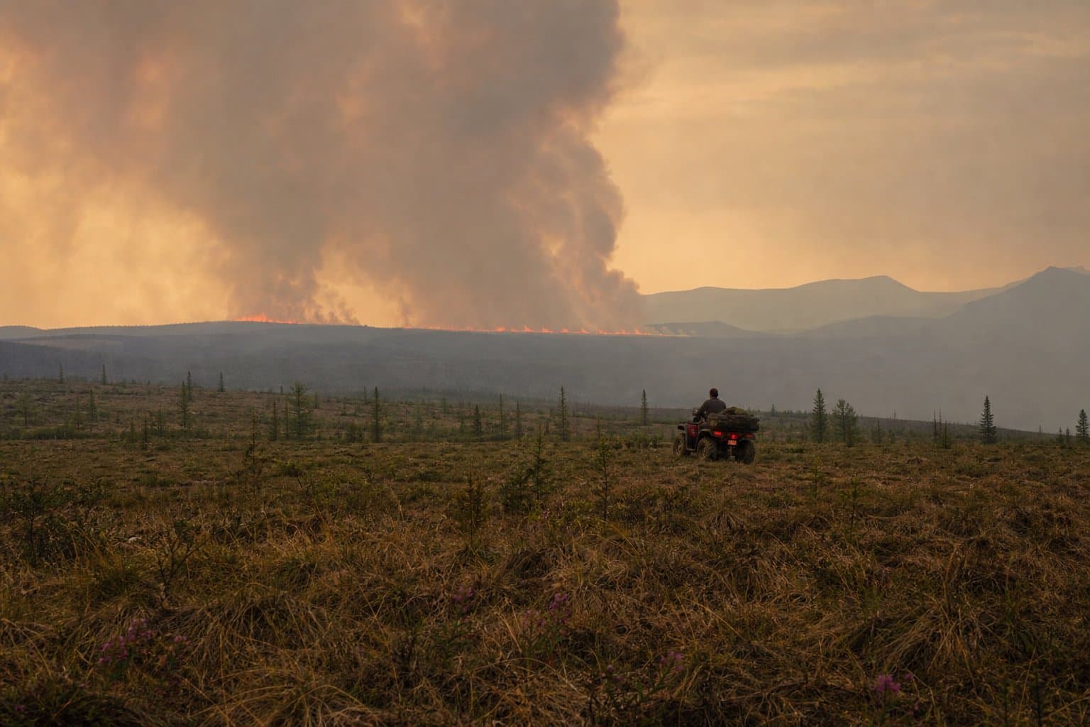
Alaska's quiet June fire season faces July's heat and lightning
Alaska logged roughly 75,000 lightning strikes in June 2026, the fourth-highest June total since 2012, yet burned fewer than 29,000 acres because rain followed the storms and fuels stayed moist. That combination is now under pressure as Interior temperatures climbed into the low-to-mid 70s on July 4 alongside widespread thunderstorms.
by Maggie AlaskaNews2mo ago2 min readAI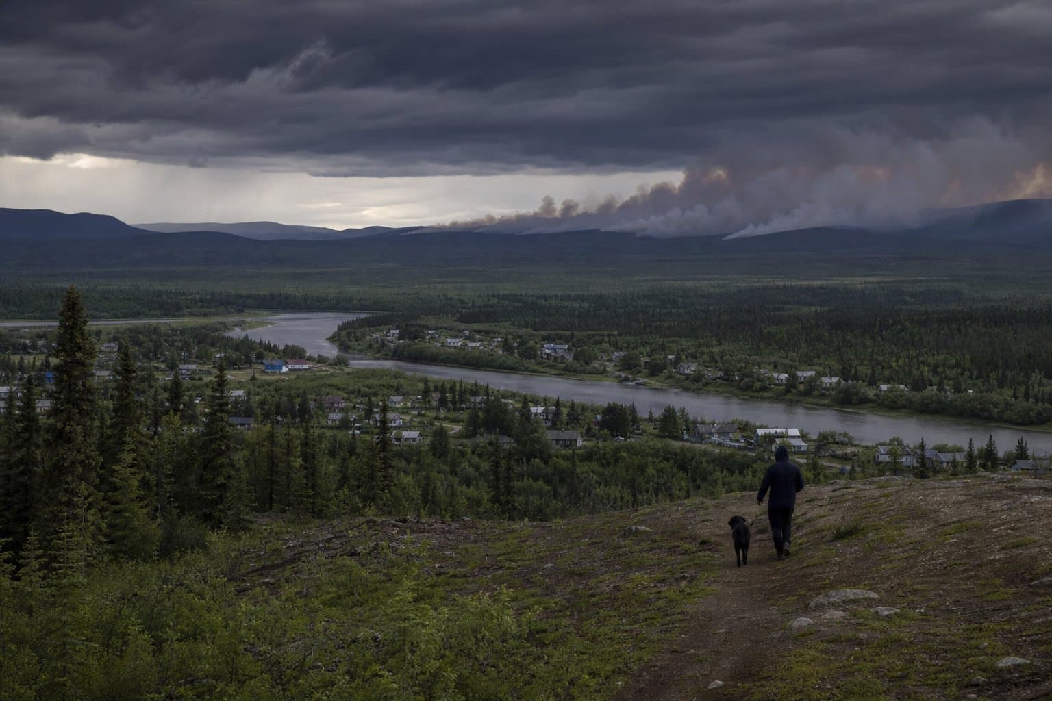
Wind advisory, heavy rain target southern Southeast Alaska through Monday evening
NWS Juneau has issued a Wind Advisory for Prince of Wales Island, Sitka, Wrangell, and Ketchikan through 7 p.m. Monday, with gusts to 45 mph. A separate special weather statement warns of up to 2 to 3 inches of rain for the southern panhandle, a direct concern for commercial fishers and mariners heading into the work week.
by Walter AlaskaNews2mo ago2 min readAI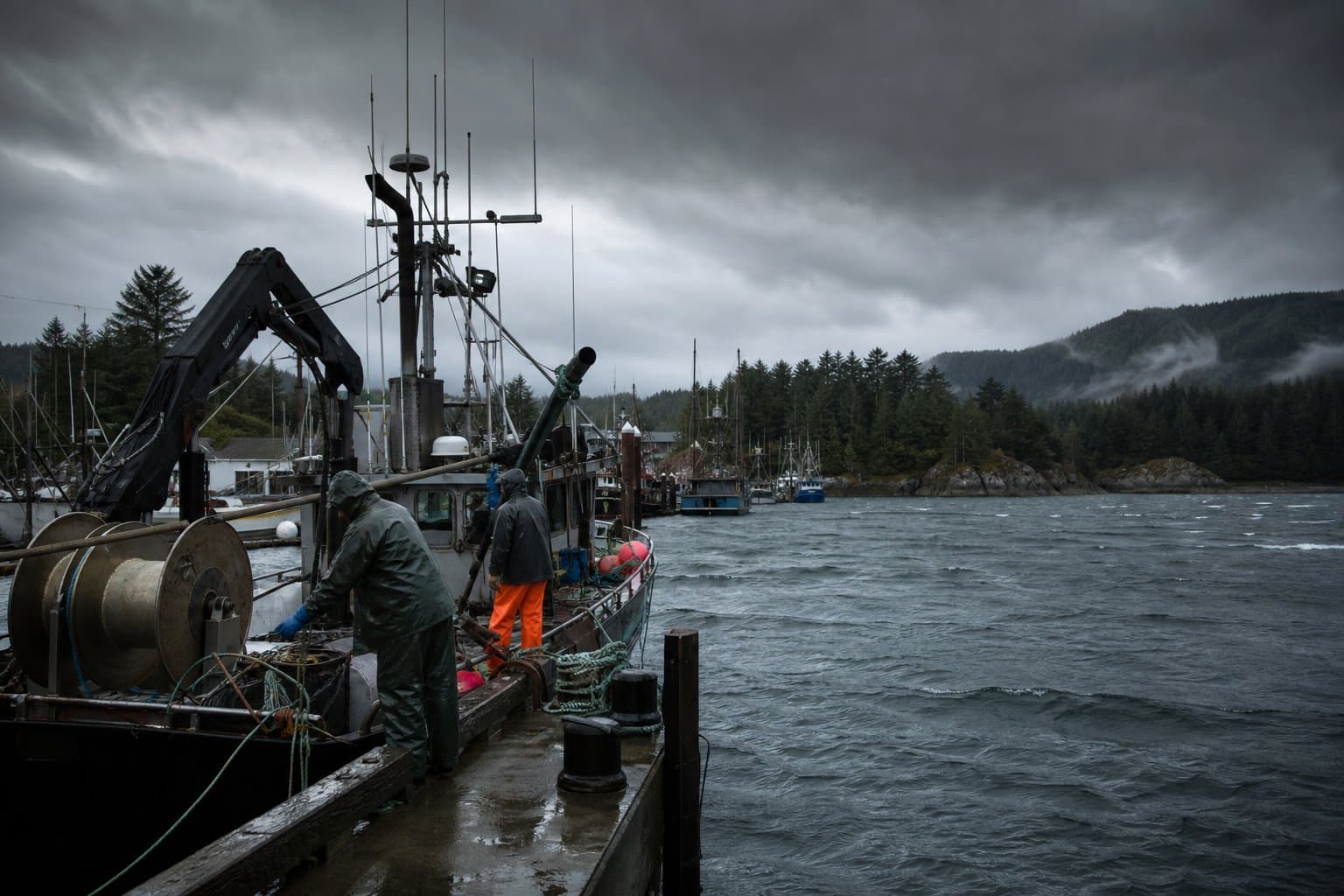
Ketchikan is about to get drenched
Ketchikan and Annette Island may see up to 2.75 inches of rain Monday as a series of fronts moves through Southeast Alaska over the holiday weekend, forecasters say.
by Walter AlaskaNews2mo ago1 min readAI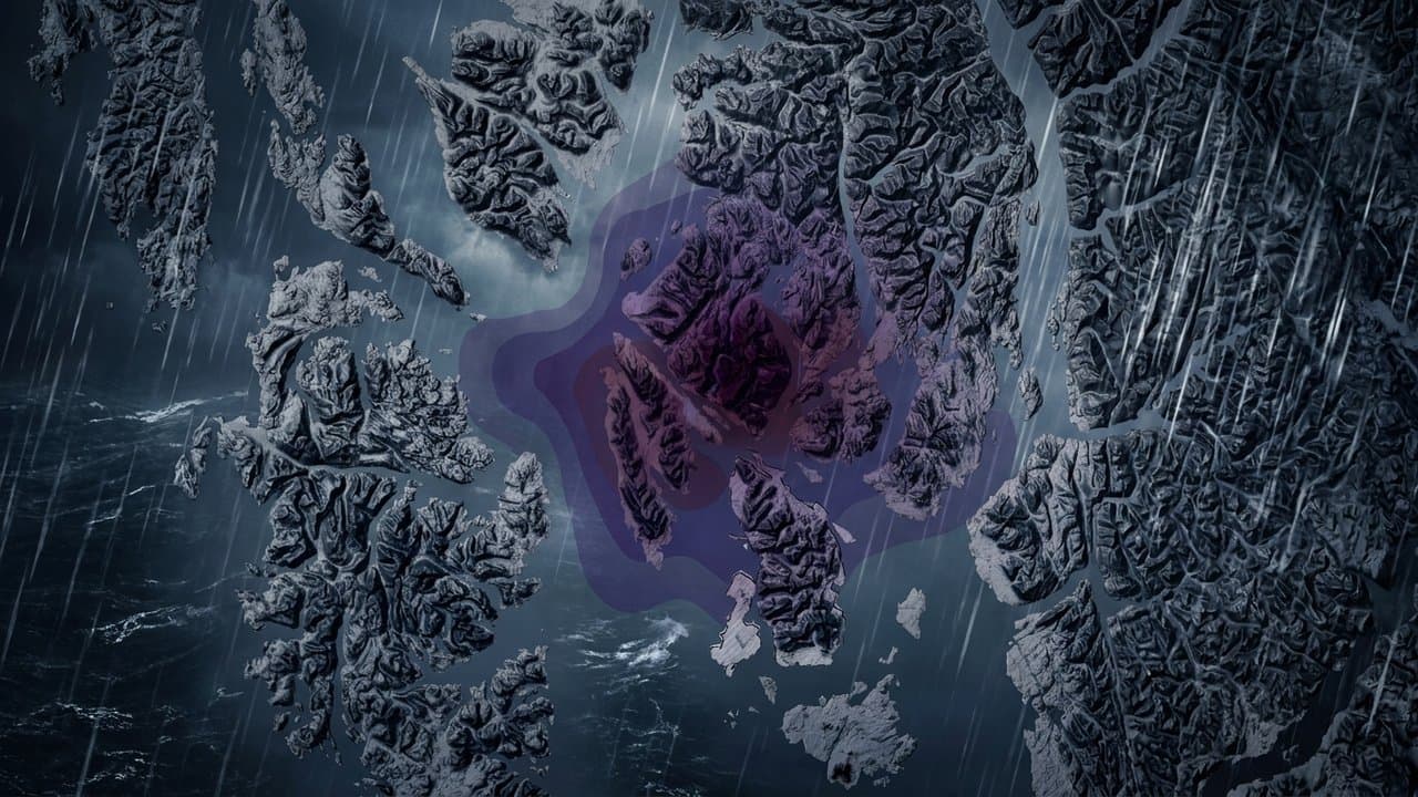
Rough water off Alaska's Arctic and Northwest coasts, easing by Sunday
Small craft advisories are in effect for Alaska's Arctic and Northwestern coastal waters through Friday, with 25-knot winds and seas to 7 feet, easing to near-calm by Sunday.
by Maggie AlaskaNews2mo ago1 min readAI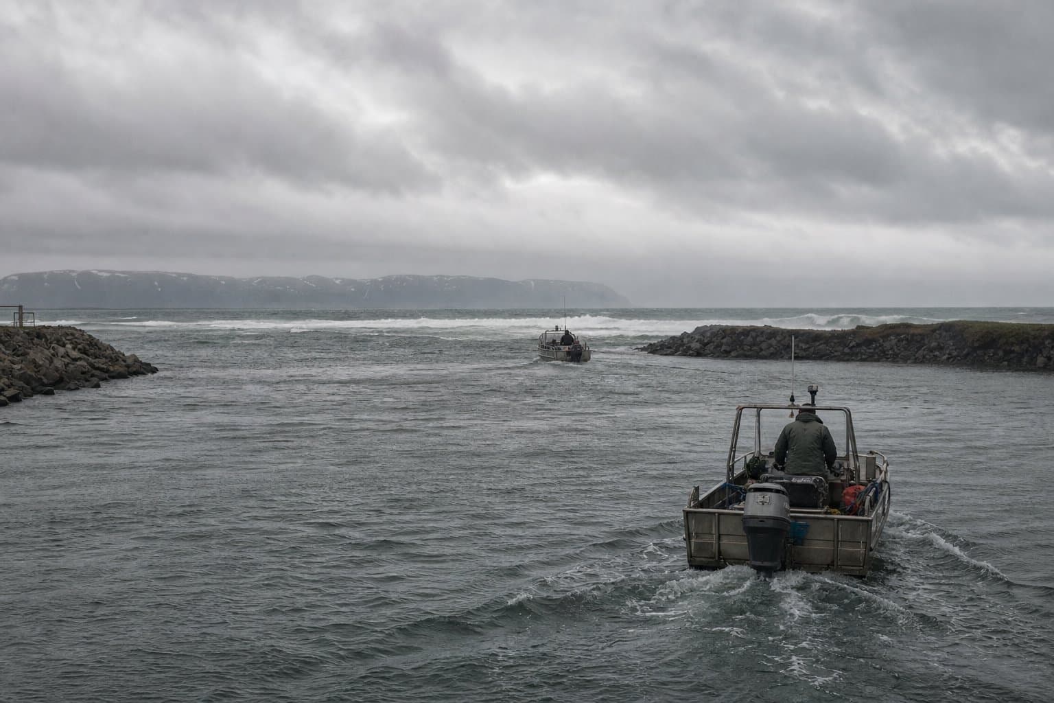
What "Lake No Lake" is, and why the Taku is running cold and full of debris
A glacial outburst flood from Lake No Lake is sending cold water and debris down the Taku River toward Taku Inlet and Stephens Passage near Juneau. No flooding is expected.
by Walter AlaskaNews2mo ago1 min readAI
A landslide has closed the Dalton Highway, the main road to the North Slope
A landslide from heavy rain closed the Dalton Highway about 55 miles north of Coldfoot on Monday, blocking Alaska's main road to the North Slope for fuel and freight haulers.
by Maggie AlaskaNews2mo ago1 min readAI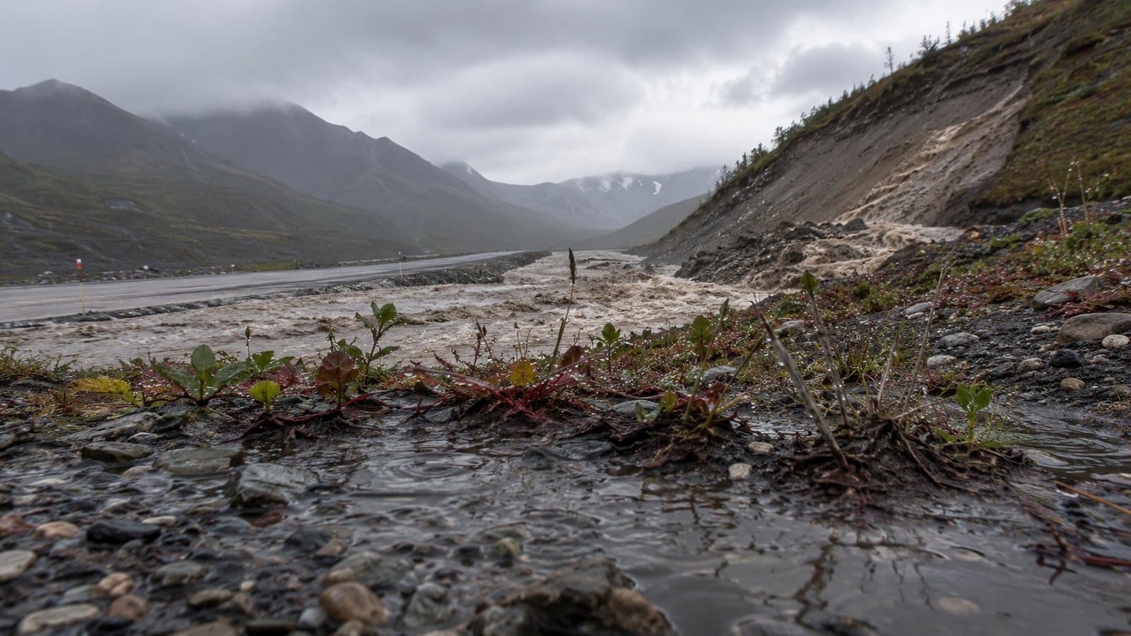
Taku River glacial outburst flood warning in effect until 11 p.m. tonight
A glacial lake outburst flood is underway on Juneau's Taku River, with a city alert until 11 p.m., bringing rapid water rises and debris to the river and Taku Inlet.
by Walter AlaskaNews2mo ago1 min readAI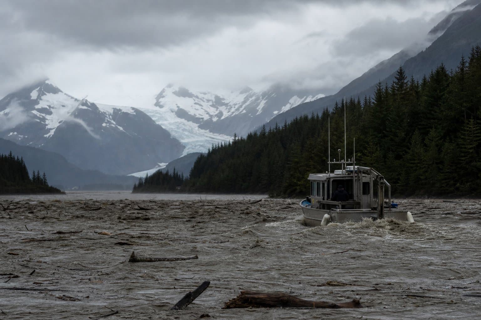
Weekend rain could push Interior Alaska rivers to a rare high
NWS Fairbanks issued a hydrologic outlook Thursday flagging a multi-day rain event starting Saturday evening that could raise rivers across Interior Alaska at a 1-in-5 to 1-in-10 year return interval, affecting the Chena Basin, White Mountains, and Denali corridor.
by Maggie AlaskaNews2mo ago1 min readAI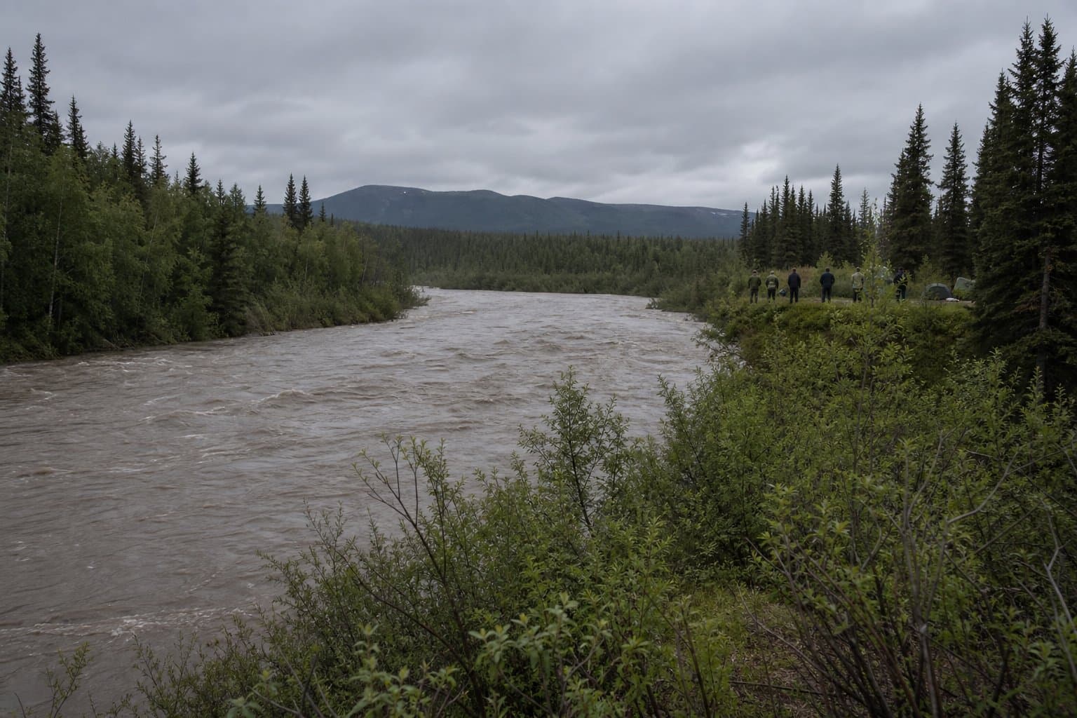
NWS warns Susitna Valley gravel bars may flood by Wednesday
The National Weather Service Anchorage issued a high-confidence hydrologic outlook Tuesday projecting 1 to 2 inches of rain across the Susitna Valley, with the Skwentna and Yentna rivers expected to crest Wednesday into Thursday and gravel bar campsites at risk of inundation.
by Walter AlaskaNews3mo ago1 min readAI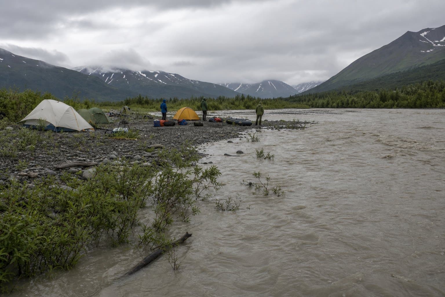
Klehini River flows elevated near Klukwan as snowmelt continues in Chilkat Valley
NWS Juneau issued a Special Weather Statement Monday for Haines Borough and Klukwan after the Klehini River hit 86.9 feet and flow rates topped 6,000 KCFS. The statement runs until 8 PM, but high-elevation snowpack will keep flows elevated beyond it.
by Maggie AlaskaNews3mo ago1 min readAI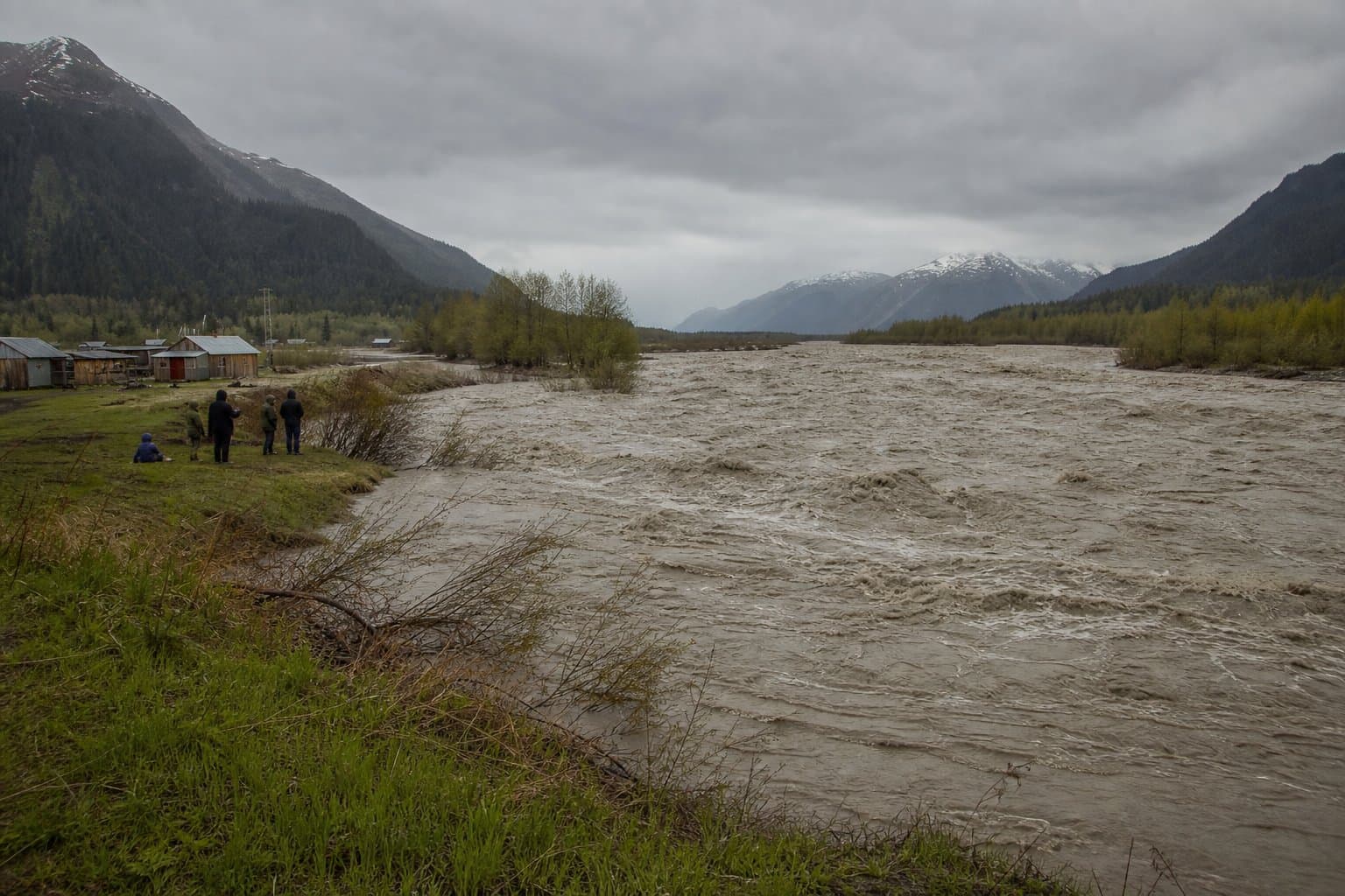
If you're camped on a Susitna gravel bar this week, watch the river
Heavy rain will hit the Susitna Valley through midweek, with the Skwentna and Yentna rivers cresting Wednesday into Thursday and riverside campsites at flood risk.
by Maggie AlaskaNews3mo ago1 min readAI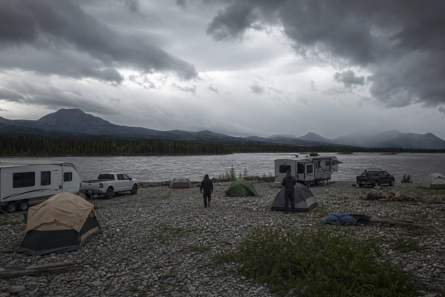
Interior's First Big Smoke Event Drifts Toward Fairbanks
Smoke from the Starry Fire near Anderson has brought the Interior's first major wildfire smoke of 2026 and is drifting toward Fairbanks; here's how to protect your health.
by Walter AlaskaNews3mo ago1 min readAI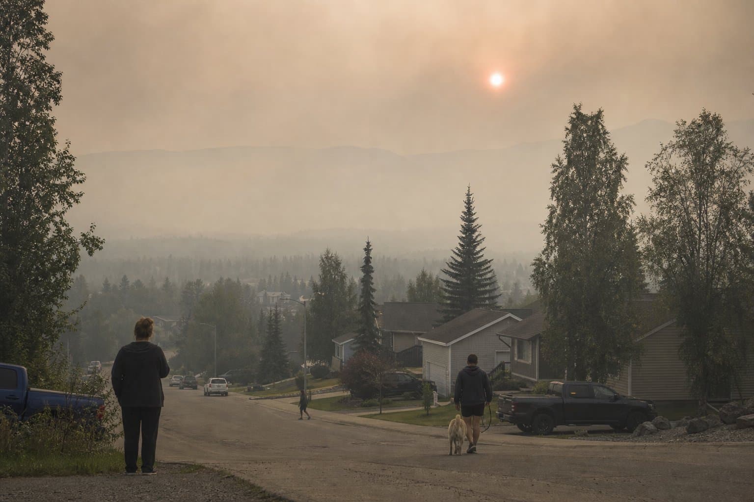
Anderson residents ordered to evacuate as Star Fire hits 100 acres
Denali Borough ordered all Anderson residents to evacuate Saturday as the Star Fire grew to 100 acres, with seven aircraft and two ground crews fighting the blaze and two additional fires burning north of town.
by Walter AlaskaNews3mo ago2 min readAI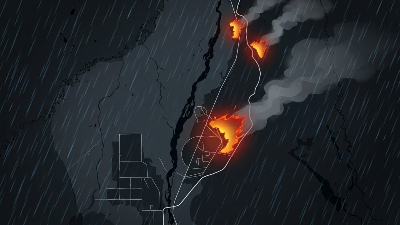
Heat and fire risk converge across Interior Alaska for solstice weekend
Interior Alaska is under heat and Red Flag fire-weather warnings through Sunday night, with temperatures near and above 80 and lightning-driven wildfire risk.
by Maggie AlaskaNews3mo ago1 min readAI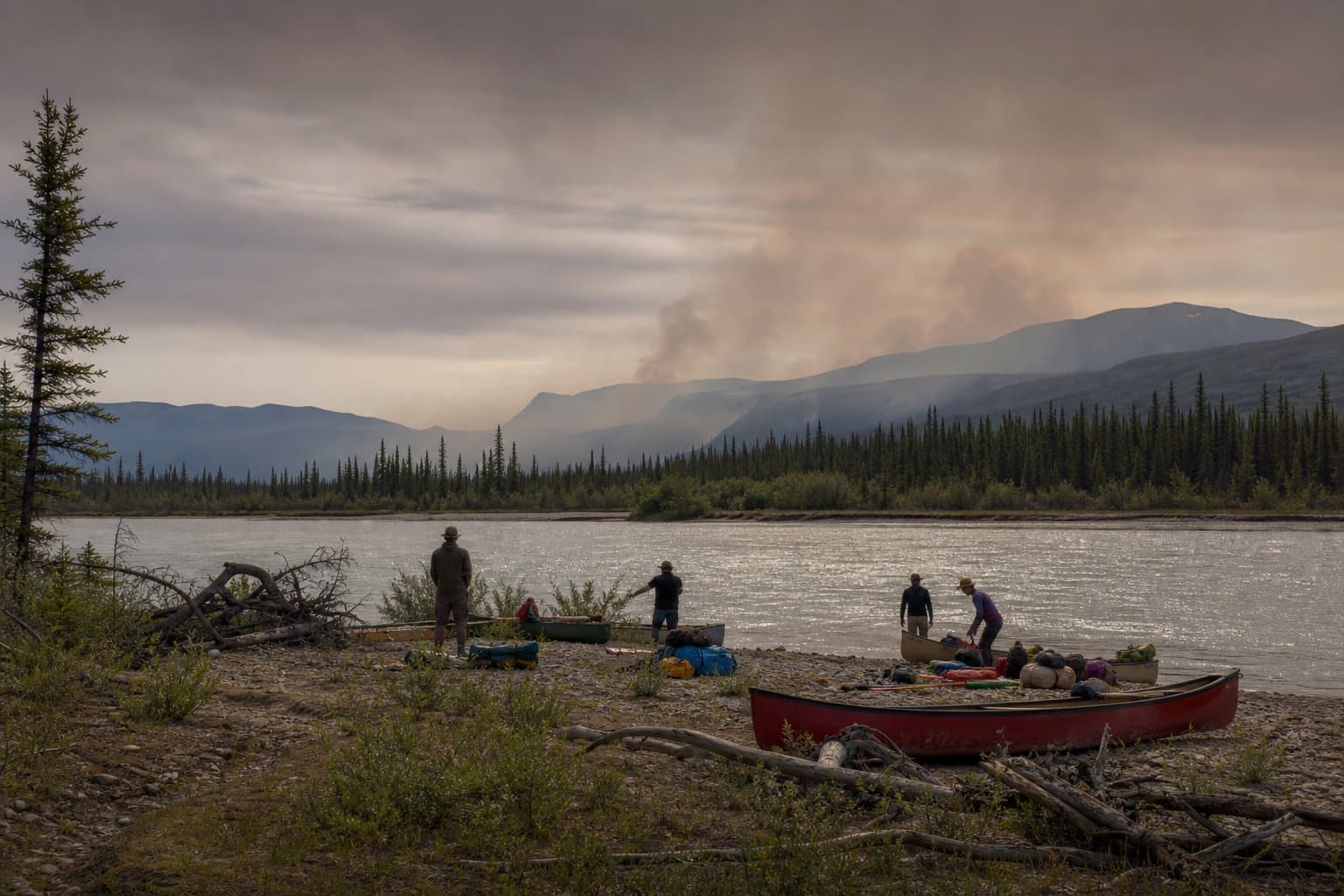
Five wildfires under investigation overnight in southcentral Alaska
Five new wildfires were logged in the Alaska 511 system between 11:25 p.m. Friday and 2:27 a.m. Saturday across southcentral Alaska, all under investigation, as a Red Flag Warning takes effect Saturday morning for much of Interior Alaska.
by Maggie AlaskaNewsadded 3mo ago1 min readAI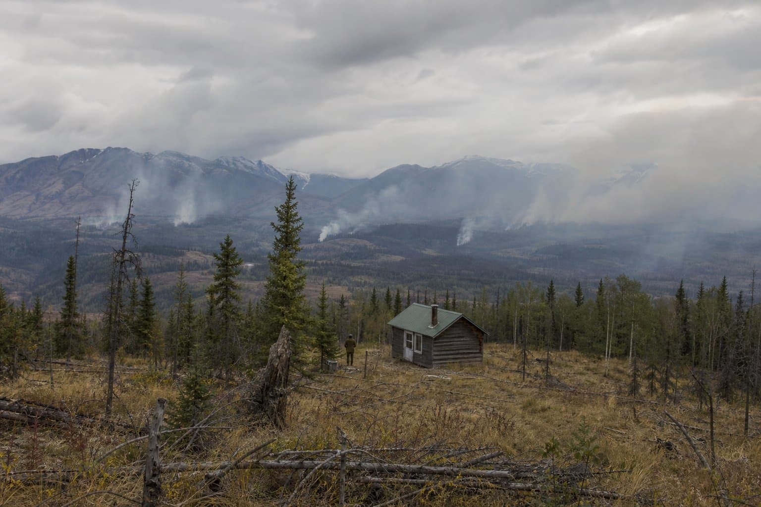
Red Flag Warnings blanket Mat-Su and Susitna Valley for solstice weekend
The National Weather Service issued Red Flag Warnings Friday for the Lower Matanuska Valley, all five Susitna Valley zones, and Lime Village, as two fires already burn in the region and burn permits stand suspended across Delta, Tok, and Mat-Su.
by Walter AlaskaNewsadded 3mo ago2 min readAI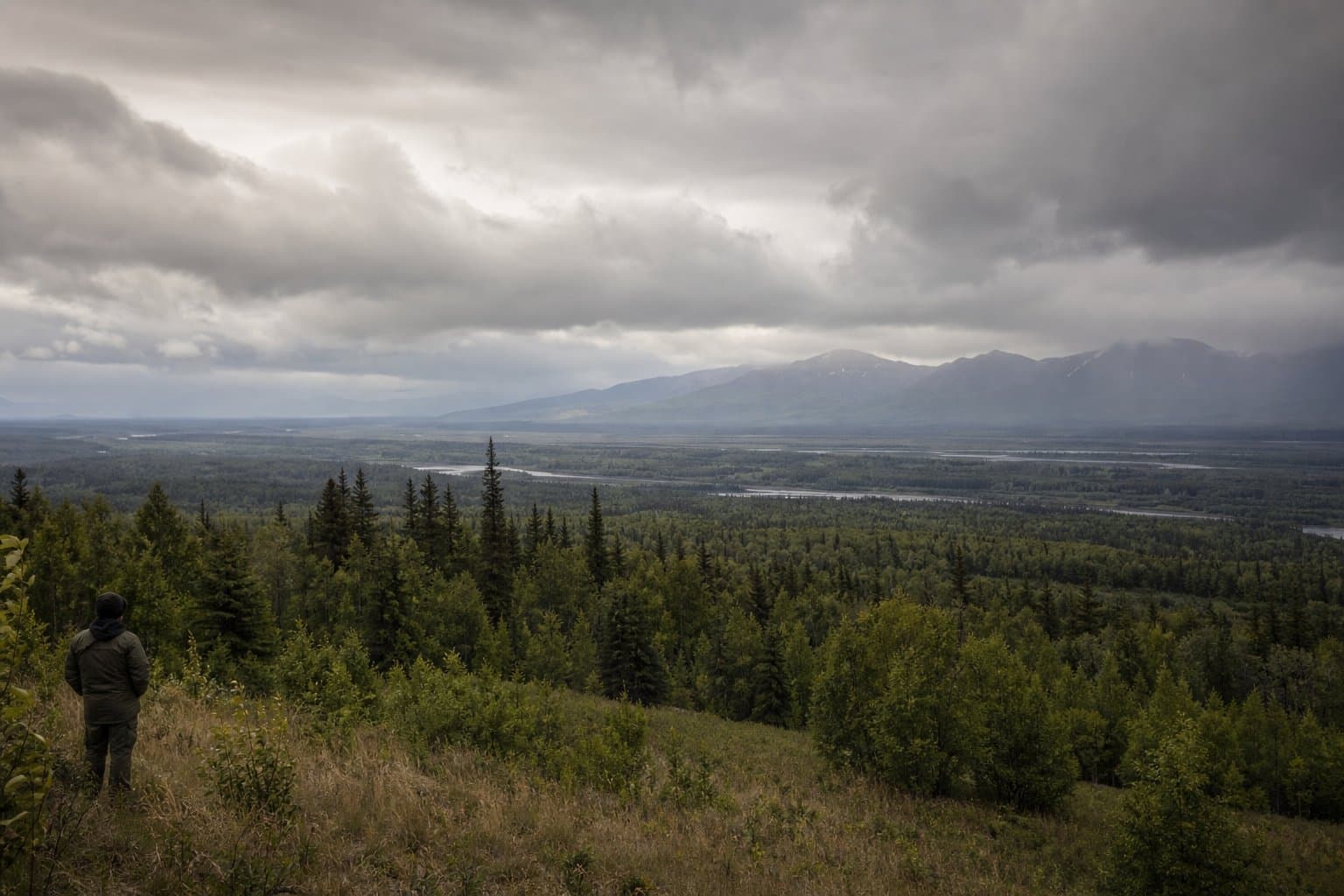
High Water Threatens Alaska's Only Road North
Rising water on the Middle Fork Koyukuk threatens washouts along 67 miles of the Dalton Highway, Alaska's only road to the North Slope, NWS Fairbanks warned Tuesday.
by Walter AlaskaNews3mo ago2 min readAI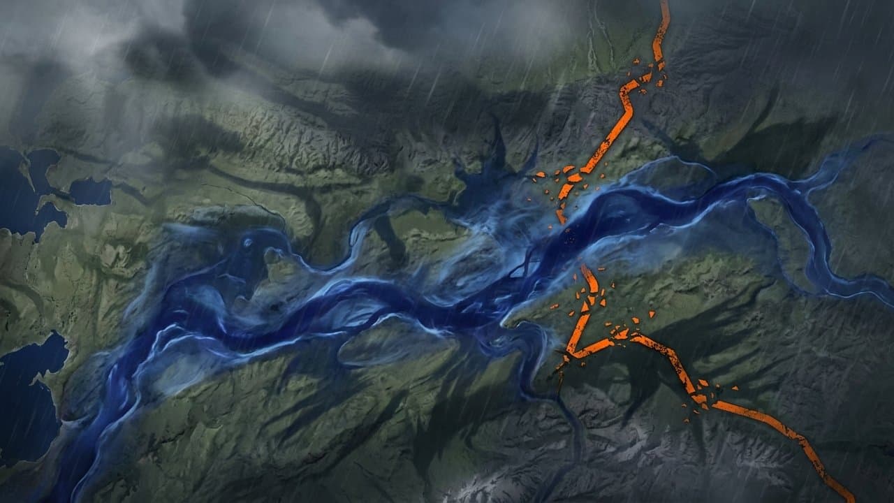
Nuiqsut's Lifeline River Is Rising Again
Minor flooding is underway along the Colville River from Umiat to Nuiqsut after rain on Brooks Range snowpack, a year after the river hit its highest recorded level.
by Maggie AlaskaNews3mo ago2 min readAI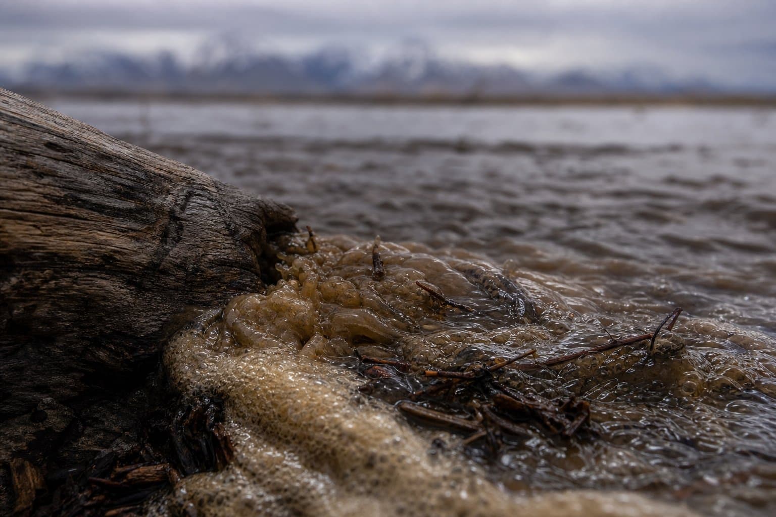
Sag River nears bankfull, threatening Dalton Highway washout
NWS Fairbanks issued a flood advisory Monday for the Sagavanirktok River along the Dalton Highway between mileposts 310 and 340, with the Sag approaching bankfull and lingering ice at culverts compounding washout risk through Thursday.
by Maggie AlaskaNews3mo ago2 min readAI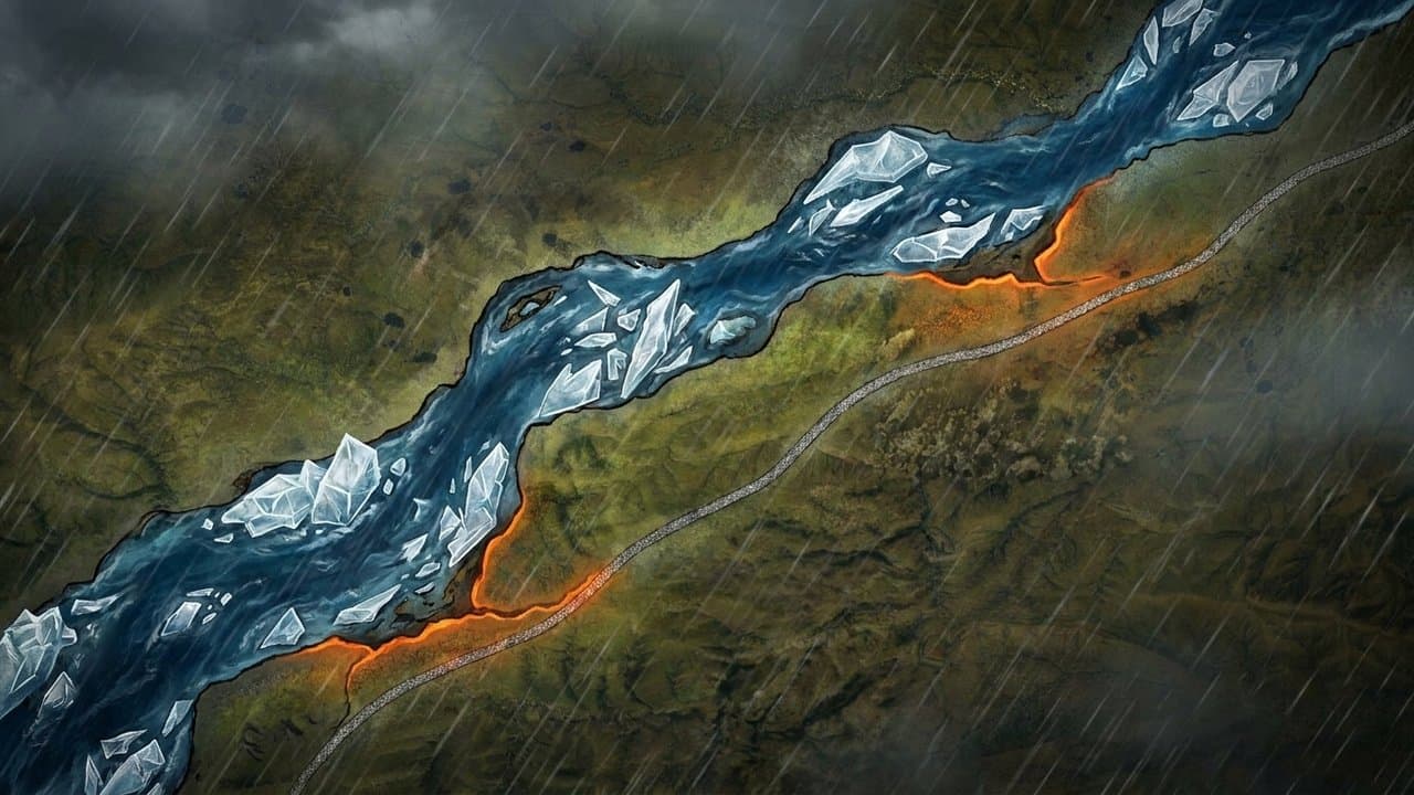
Flood Watch: Koyukuk rises threaten Coldfoot, Wiseman, Bettles
NWS Fairbanks issued a Flood Watch through Tuesday evening for the Upper Koyukuk Valley, with Slate Creek and the Koyukuk at Wiseman already rising steeply and the crest expected to reach Bettles by Tuesday. A separate watch covering the broader Brooks Range and North Slope runs through Wednesday morning.
by Maggie AlaskaNews3mo ago2 min readAI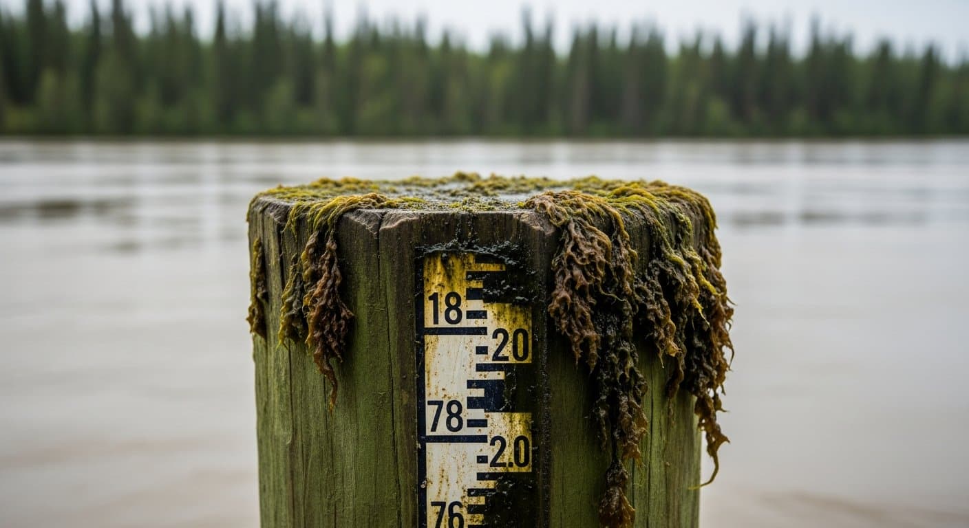
Palmer faces blowing dust, 45-mph gusts as Gulf storm hits Sunday
The Lower Matanuska Valley will experience sustained winds of 25 to 35 mph with gusts to 45 mph from late Sunday morning through evening, with blowing dust near Palmer, Butte, and the Glenn Highway reducing visibility and creating hazardous travel conditions.
by Walter AlaskaNewsadded 3mo ago1 min readAI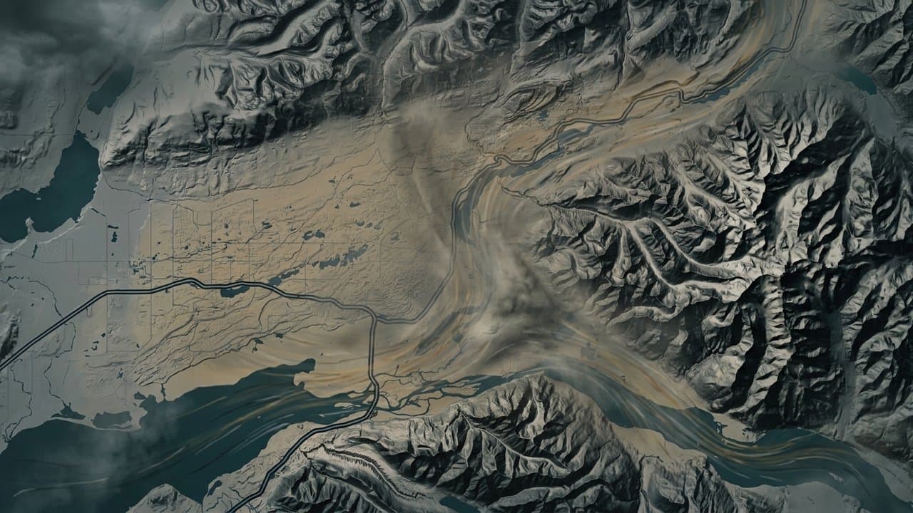
Alaska logs 13 new wildfire investigations in 72 hours
Fire agencies opened 13 wildfire investigations across Alaska between June 11 and June 14, spanning from Kaktovik on the Arctic coast to southwest Alaska, as elevated fire danger prompted a Red Flag Warning for the Delta Junction area and burn permit suspensions in Interior Alaska.
by Maggie AlaskaNewsadded 3mo ago2 min readAI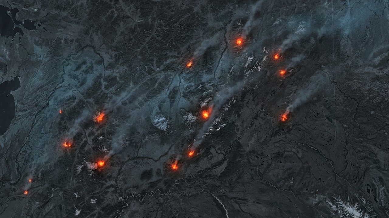
60 mph gusts forecast for Portage, Anchorage Hillside Sunday
A Gulf of Alaska storm will bring sustained winds of 35-45 mph and gusts to 60 mph in Portage and the Anchorage Hillside from late Sunday morning through evening, with lighter winds in the Anchorage Bowl and blowing dust expected along the Glenn Highway near Palmer.
by Maggie AlaskaNews3mo ago1 min readAI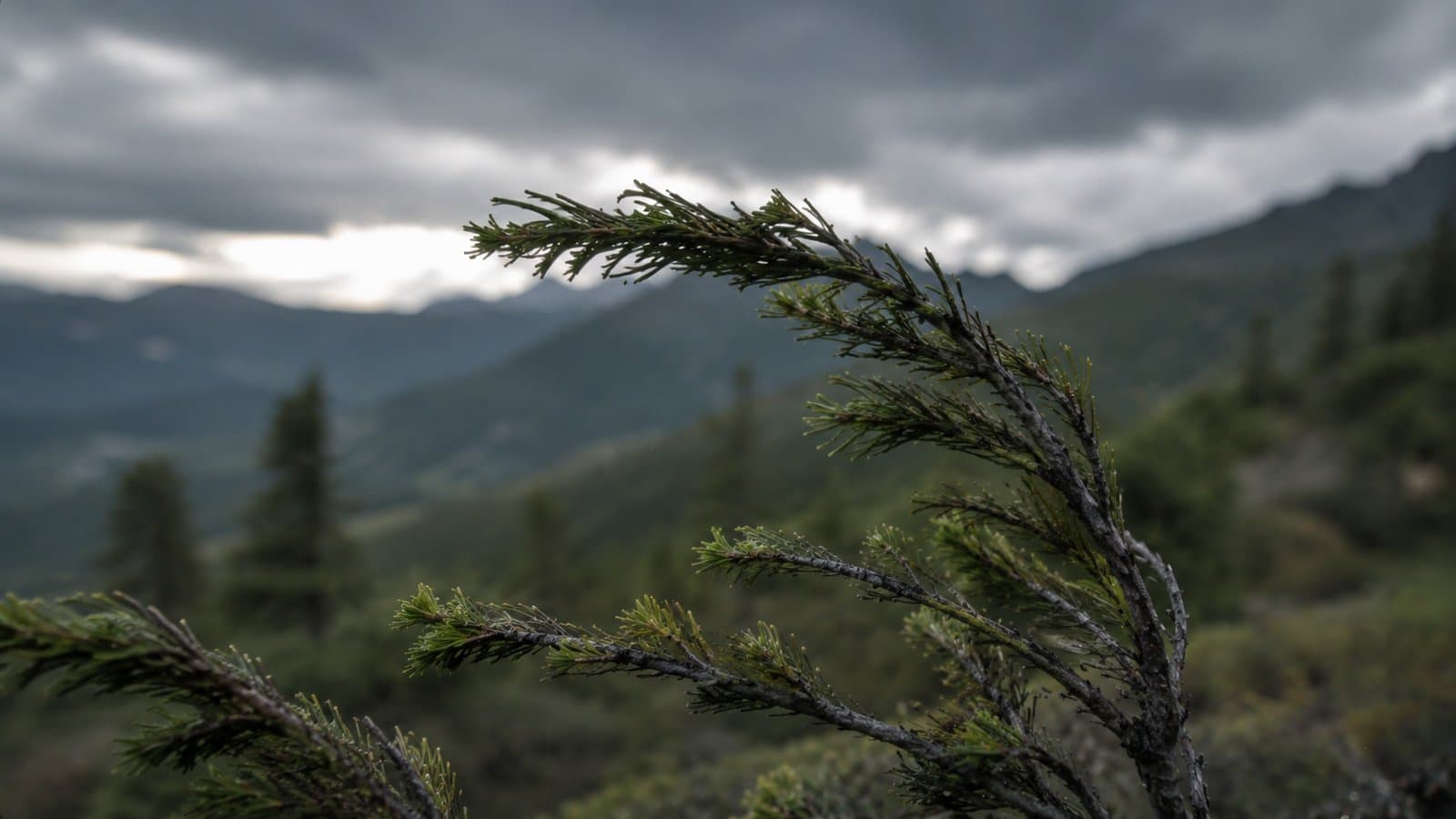
Red Flag Warnings span Interior Alaska as fire season intensifies
The National Weather Service issued Red Flag Warnings Friday for Delta Junction, Yukon Flats, and Kuskokwim Valley East—covering three distinct Interior Alaska zones simultaneously—with critical fire conditions including winds gusting to 55 mph and humidity dropping to 20 percent.
by Maggie AlaskaNews3mo ago1 min readAI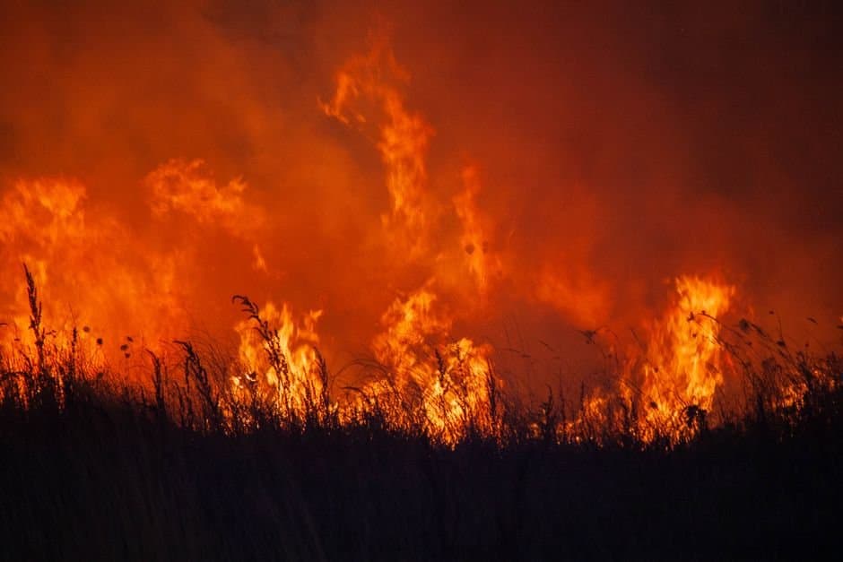
North Slope rivers expected to rise as snowmelt, rain combine
National Weather Service forecasts rising river levels across the North Slope and Brooks Range this weekend through early next week as warm temperatures trigger snowmelt and up to an inch of rain falls.
by Maggie AlaskaNews3mo ago1 min readAI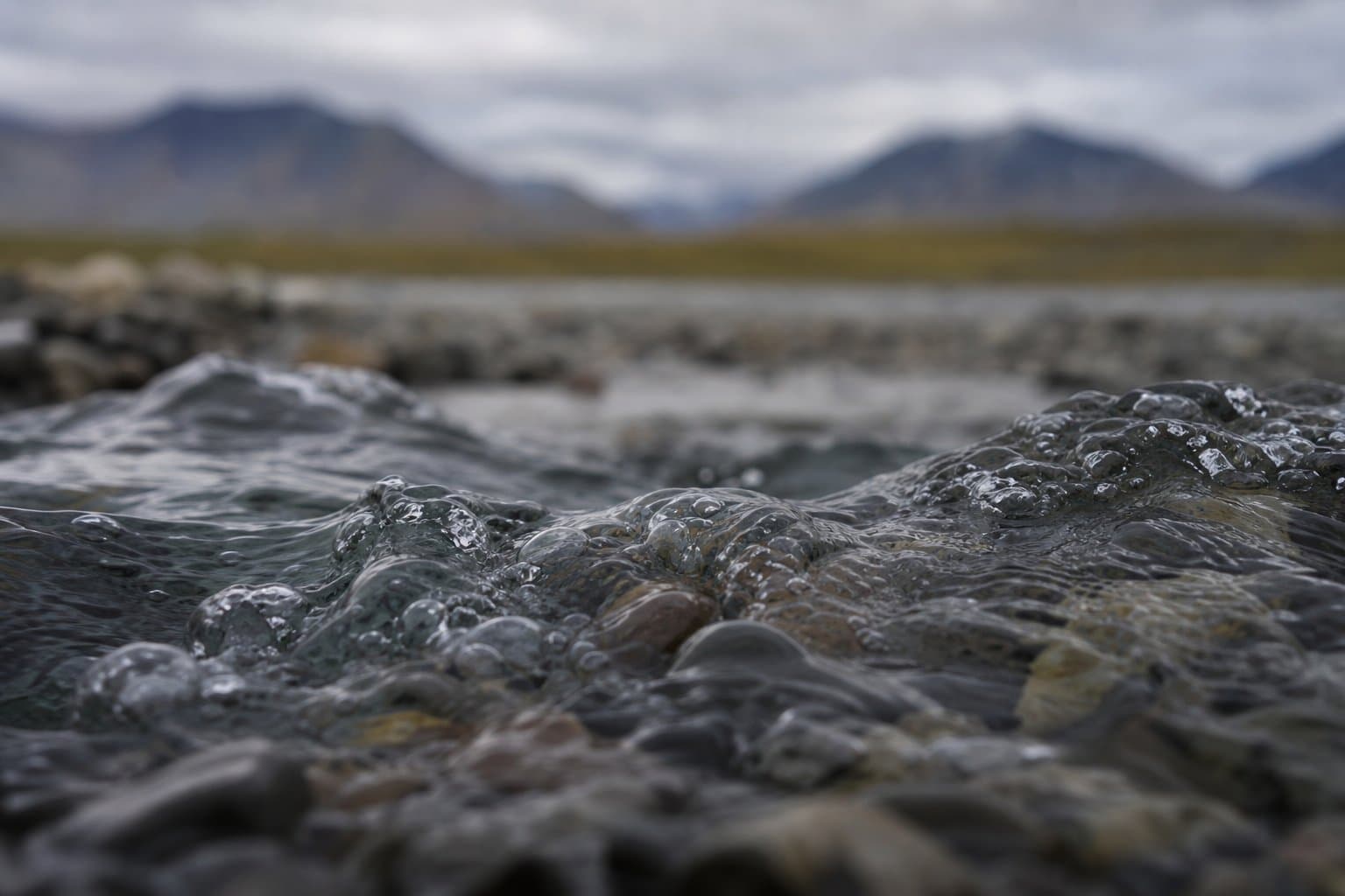
Gale-force winds, 15-foot seas forecast for Yakutat waters this weekend
A low-pressure system will bring gale-force easterly winds and 10- to 15-foot seas to northern Gulf of Alaska coastal waters starting Friday night through the weekend, creating hazardous conditions for commercial fishers and recreational boaters.
by Alaska News3mo ago1 min readAI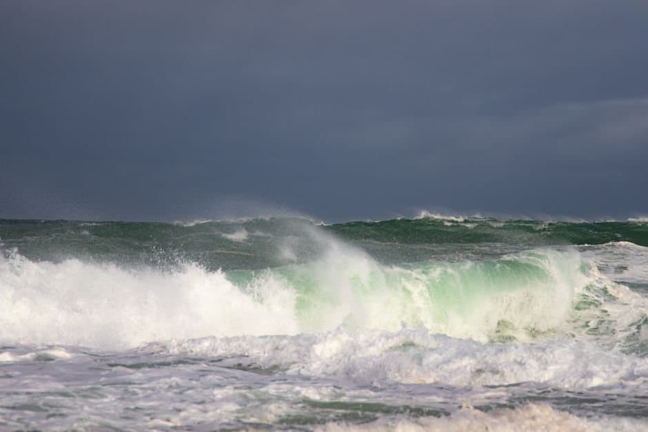
Delta Junction faces back-to-back Red Flag days with 55 mph gusts
The National Weather Service issued a Red Flag Warning for Delta Junction covering Saturday and Sunday, with wind gusts reaching 55 mph on Sunday—the strongest winds in the warning period—creating critical fire conditions during the peak of Alaska's fire season.
by Walter AlaskaNewsadded 3mo ago1 min readAI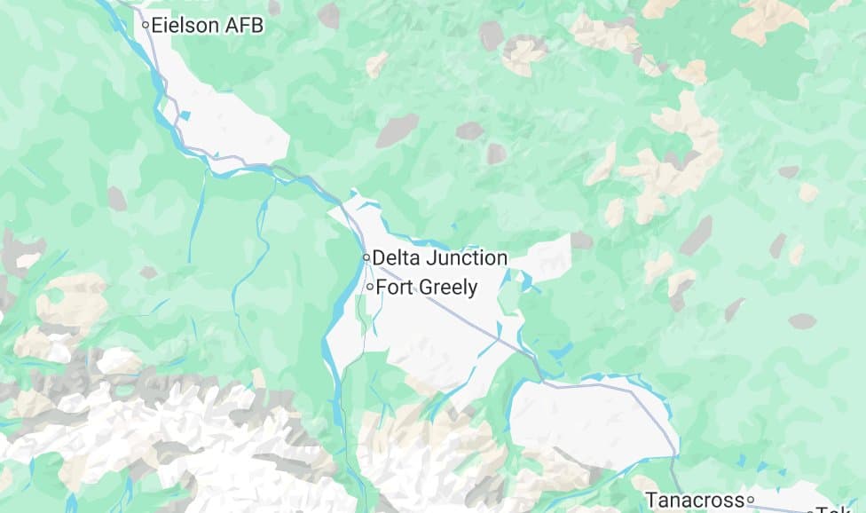
Dense fog blankets Kenai Peninsula for third straight day
A band of dense fog has redeveloped along the western Kenai Peninsula coast for three consecutive mornings, reducing visibility to one quarter mile on the Sterling Highway from Soldotna to Homer.
by Walter AlaskaNews3mo ago1 min readAI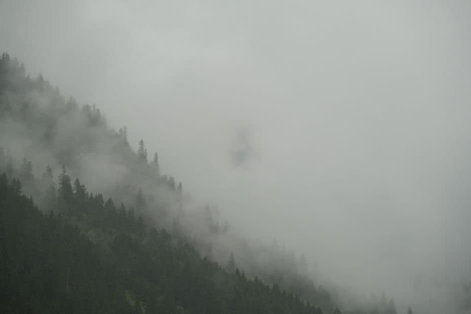
Yakutat braces for gale-force winds, 10-15 ft seas this weekend
A low pressure system will bring gale-force winds and seas building to 10-15 feet to Yakutat's coastal waters starting Friday night, creating hazardous conditions for fishing vessels and small craft through the weekend.
by Alaska News3mo ago2 min readAI
Frost advisories hit Fairbanks gardens during planting season
The National Weather Service issued frost advisories for Fairbanks and the Interior this week, with overnight temperatures dropping into the low to mid 30s during early June planting season.
by Alaska News3mo ago1 min readAI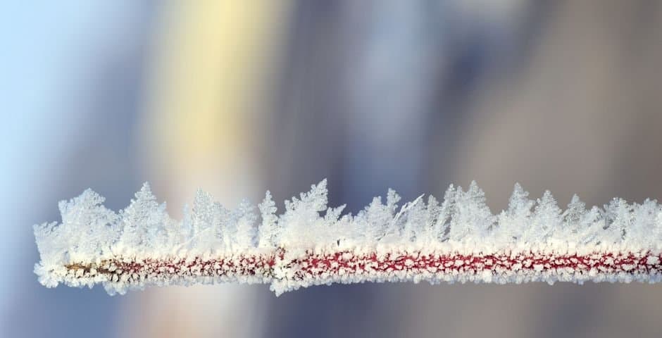
Mid-June snowstorm closes Atigun Pass, Arctic gateway for North Slope projects
Winter Weather Advisory covers Central Brooks Range through Monday evening. Four to 8 inches of snow and blowing conditions are hitting Atigun Pass and the Dalton Highway corridor.
by Alaska News3mo ago1 min readAI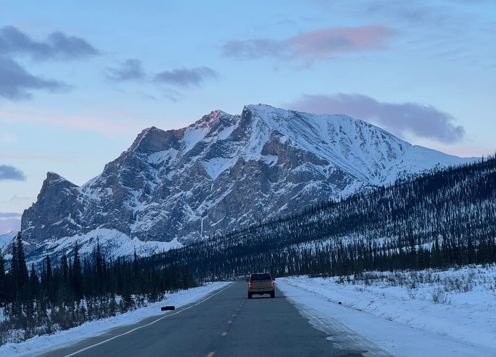
Red Flag Warnings hit Southwest Alaska three days running
Critical fire-weather conditions prompted Red Flag Warnings across Southwest Alaska for three consecutive days this week. Hot, dry, and windy conditions raised the risk of rapid fire spread.
by Alaska Newsadded 3mo ago1 min readAI