Golovin
RSSCity · Nome Census Area
Local organizations and topics
Numbers are stories in the last 30 days.
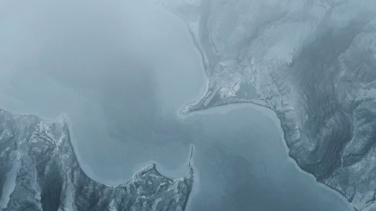
Editorial map (Gemini + Google Maps)
FEMA obligates $376,200 to repair Golovin city buildings and equipment after 2022 storm
When Typhoon Merbok hit western Alaska in September 2022, the water in Golovin rose past a flood record set in 1913.
Houses floated off their foundations, and 3 to 4 inches of sediment settled inside homes, according to the University of Alaska Fairbanks climate center's summary of the storm.
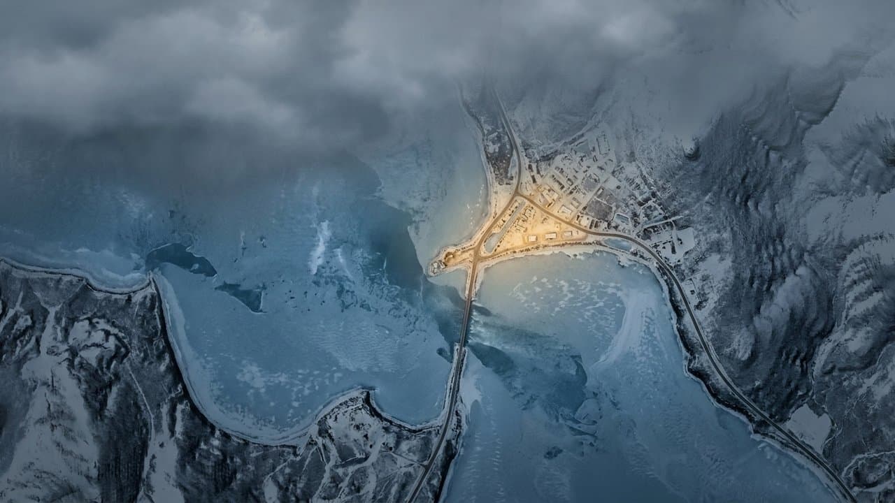
Golovin sits on a point of land between Golovin Bay and Golovin Lagoon, about 70 miles east of Nome, according to Kawerak, the regional Native nonprofit. The state reported flood depths there of more than 17 feet, the highest of the storm.
Golovin's power infrastructure was damaged for an extended period, and food stored in freezers spoiled, according to the state's Merbok recovery plan. Eight to 10 generational subsistence cabins were damaged or destroyed, the plan says.
More than four years later, the federal government is still committing money to fix the city's property.
On Wednesday, the Federal Emergency Management Agency obligated $376,200 to repair buildings, equipment and contents belonging to the City of Golovin.
An obligation is FEMA's commitment of money to a specific project, not a payment. The project's total cost is $501,600. Federal disaster funding in Alaska is split 75% federal and 25% state, according to the state emergency management division, and the Golovin figures match that split.
What did you make of this story? (no account needed)
Have a story from Golovin? Send a tip
Latest
Regulators raise Golovin's power credit 17 cents a kilowatt-hour as fuel costs climb
Regulators raised Golovin's state power credit from 28 to 45 cents a kilowatt-hour after fuel costs climbed. Households now pay about 22 cents on covered power.
 by Walter AlaskaNews2 min read
Norton Sound salmon season draws the fewest commercial permit holders since 2007
Just 72 permit holders fished Norton Sound salmon commercially this year, the fewest since 2007, and king salmon missed every escapement goal in the region.
by Walter AlaskaNews2 min read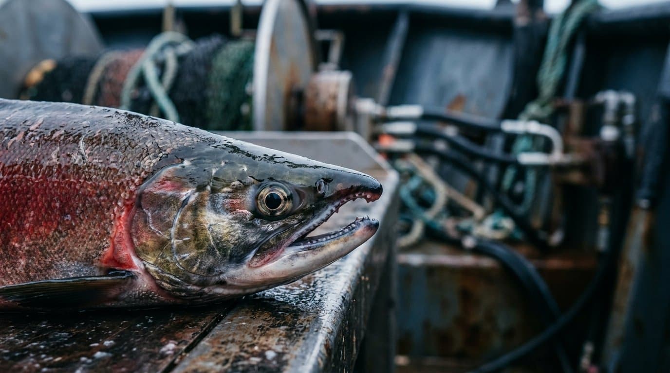
NWS forecasts water 5 feet above high tide at Golovin through Friday
Water is forecast 3 to 5 feet above the normal high tide line at Golovin through Friday, the third stretch of high water there in three weeks.
by Walter AlaskaNews1 min read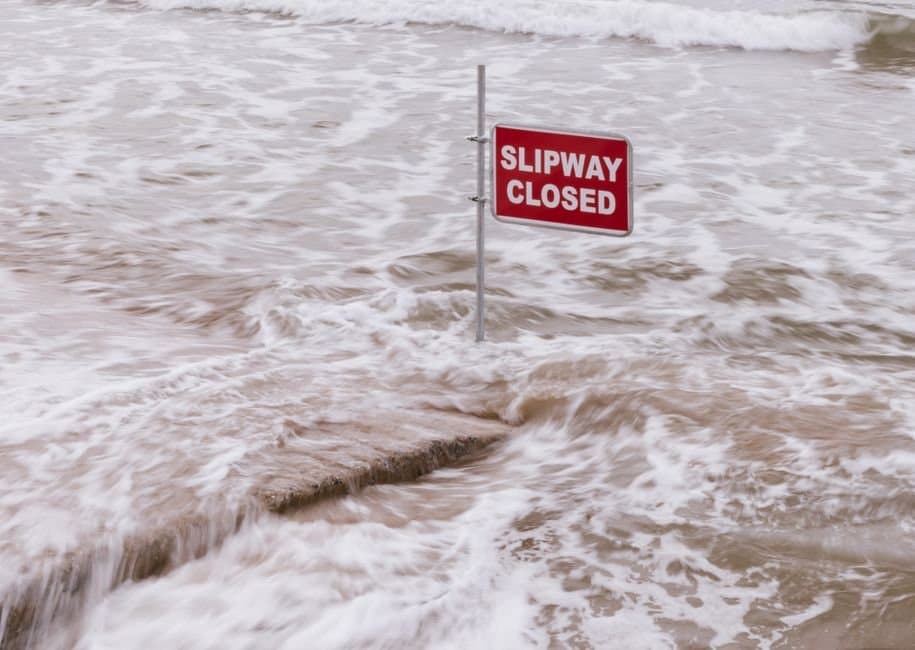
Minor flooding possible at Golovin, with water 4 to 6 feet above high tide
Water could flood Golovin's lowest buildings Wednesday and Thursday as the National Weather Service warns of coastal surge 4 to 6 feet above normal high tide.
by Walter AlaskaNews1 min read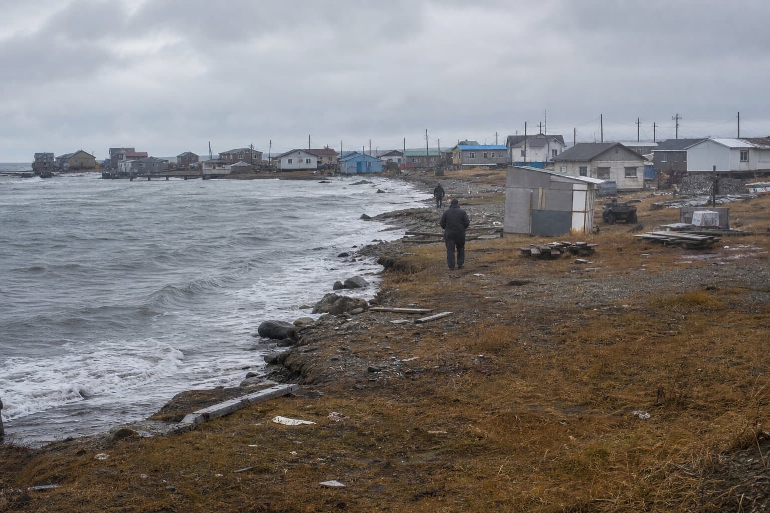
Water could rise again along the Eastern Norton Sound coast Saturday morning
Water along the Eastern Norton Sound coast could run 2 to 4 feet above the normal high tide line again Saturday morning, highest around Golovin.
by Walter AlaskaNews1 min read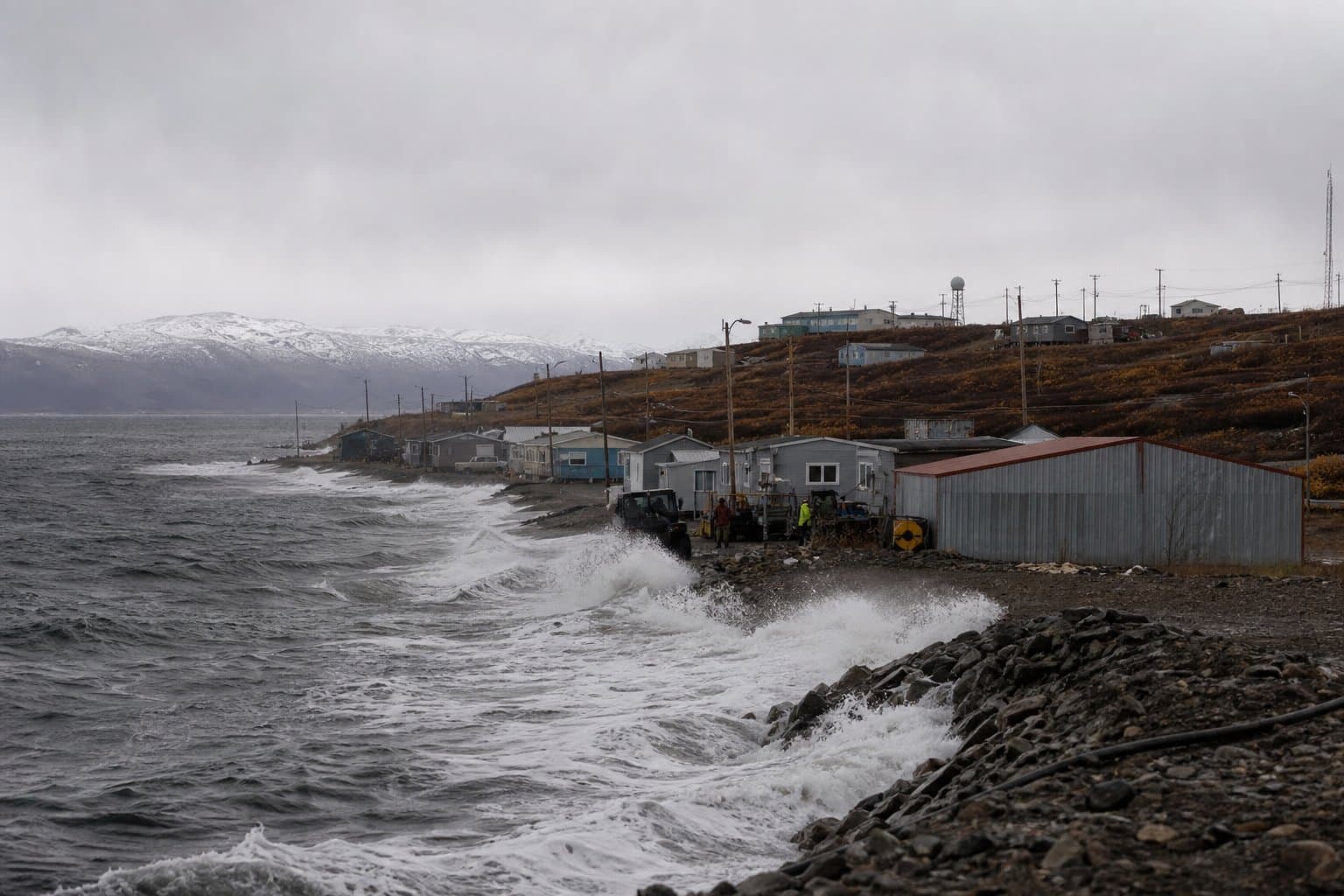
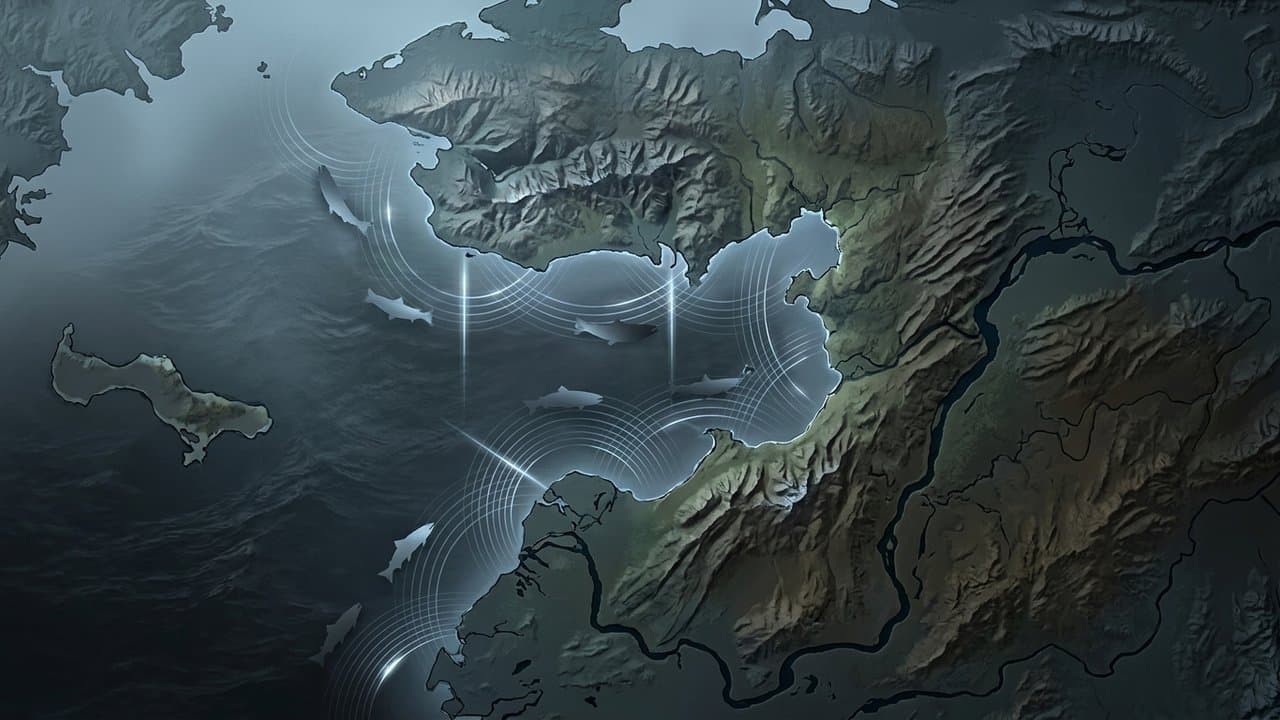
With monitoring down, the state is using a commercial opening to gauge coho
Norton Sound gillnetters get one 24-hour coho opening this weekend. With monitoring projects mostly down, the state is using it to gauge abundance.
 by Bill AlaskaNews1 min read
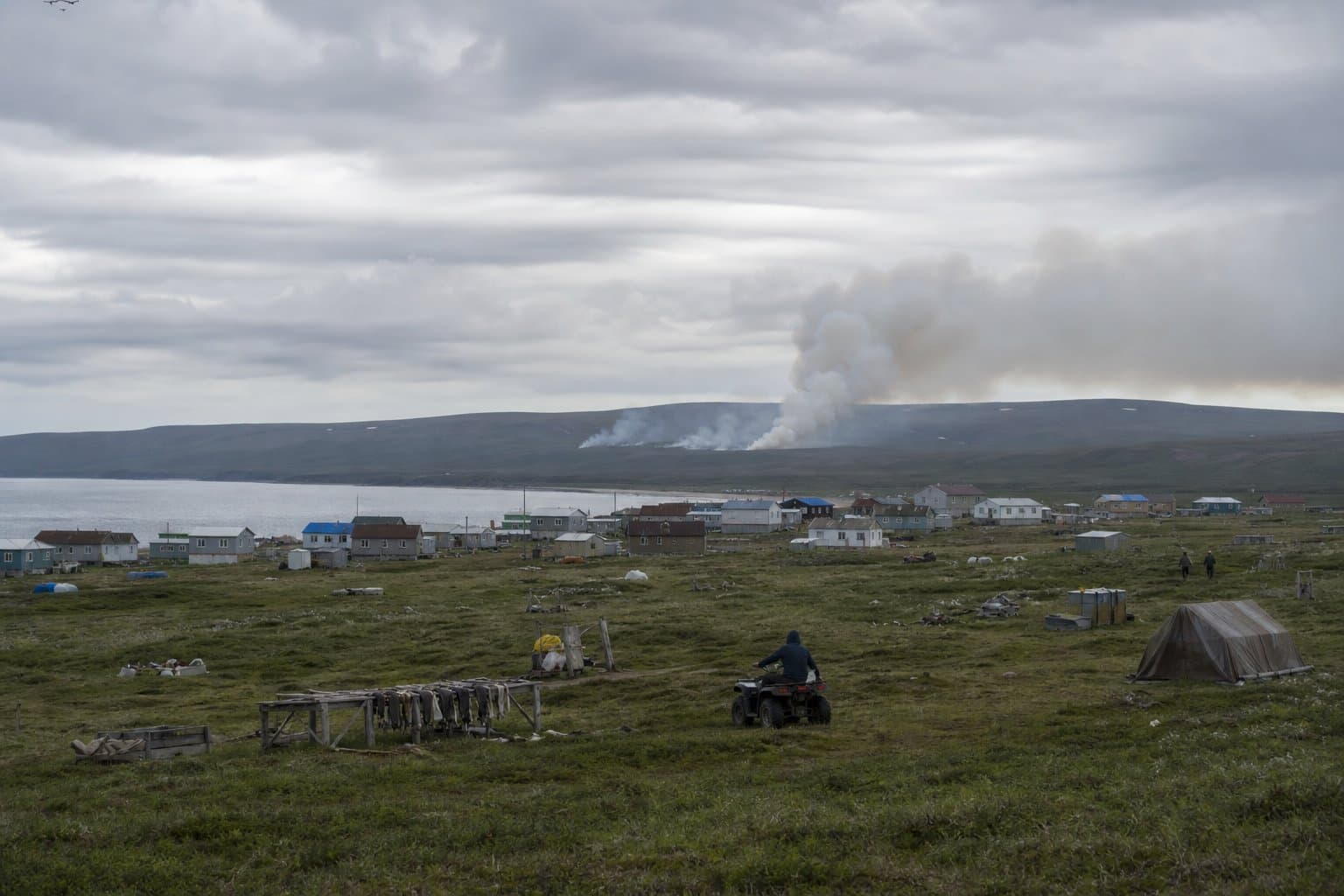
A half-acre fire near Golovin tests a new federal firefighting agency
A half-acre lightning fire near Golovin isn't threatening homes or subsistence allotments, and rain may help. Two smokejumpers went in — an early test of a new federal agency.
 by Maggie AlaskaNews1 min read
About Golovin
Golovin, also called Cingik, is an Iñupiaq village on Golovnin Bay off Norton Sound, in the Nome Census Area on the Seward Peninsula. Its low-lying shore makes it one of the places along eastern Norton Sound most exposed to storm surge.
Coastal flooding recurs, with the weather service warning of water rising several feet above the normal high tide line and reaching the village's lowest buildings. Residents take part in Norton Sound's subsistence and commercial salmon fisheries, where weak king salmon returns and gaps in fish counting shape how the season is managed.
Golovin belongs to the Bering Strait region, and its elders have been recognized by the regional Native corporation, including for bringing ancestral remains home from the Smithsonian for reburial.