NOAA forecast offices in Anchorage, Fairbanks, and Juneau. Issues warnings for marine weather, river breakup, avalanches, fire weather, and aviation across Alaska.
222 W 7th Ave #23, Anchorage, AK 99513, USA
Video Clips
Browse all clips
Juneau: July 9, 2026 CBJ Media Availability · Jul 9, 2026

Juneau: July 9, 2026 CBJ Media Availability · Jul 9, 2026

John Bohan
“The breach locations that were chosen are the potential high-impact areas. And so tree strikes and direct, you know, even though we fortified these areas, the direct impacts at the 90-degree corners just effectively to, you know, to prepare for the worst-case scenario. As Ryan said, these are sandbags, they are temporary measures.”Juneau: July 9, 2026 CBJ Media Availability · Jul 9, 2026

John Bohan
“as we saw last year, fortunately above the waterline, but a tree completely blew up the barriers behind the Field House very quickly, very easily. So we do need to be prepared for those events. So be careful. And that's also why we're requesting evacuation because they are temporary and we don't know what, you know, we don't know what force might crack one open.”Juneau: July 9, 2026 CBJ Media Availability · Jul 9, 2026

Juneau: July 9, 2026 CBJ Media Availability · Jul 9, 2026

Juneau: July 9, 2026 CBJ Media Availability · Jul 9, 2026
Seward faces heavy rain and flood risk again, weeks after July storm
The NWS issued a Flood Watch for Seward and the Southern Kenai Mountains, with 2 to 4 inches of rain expected Monday through Thursday and a risk of flooding and landslides.
 by Walter AlaskaNews1mo ago1 min readAI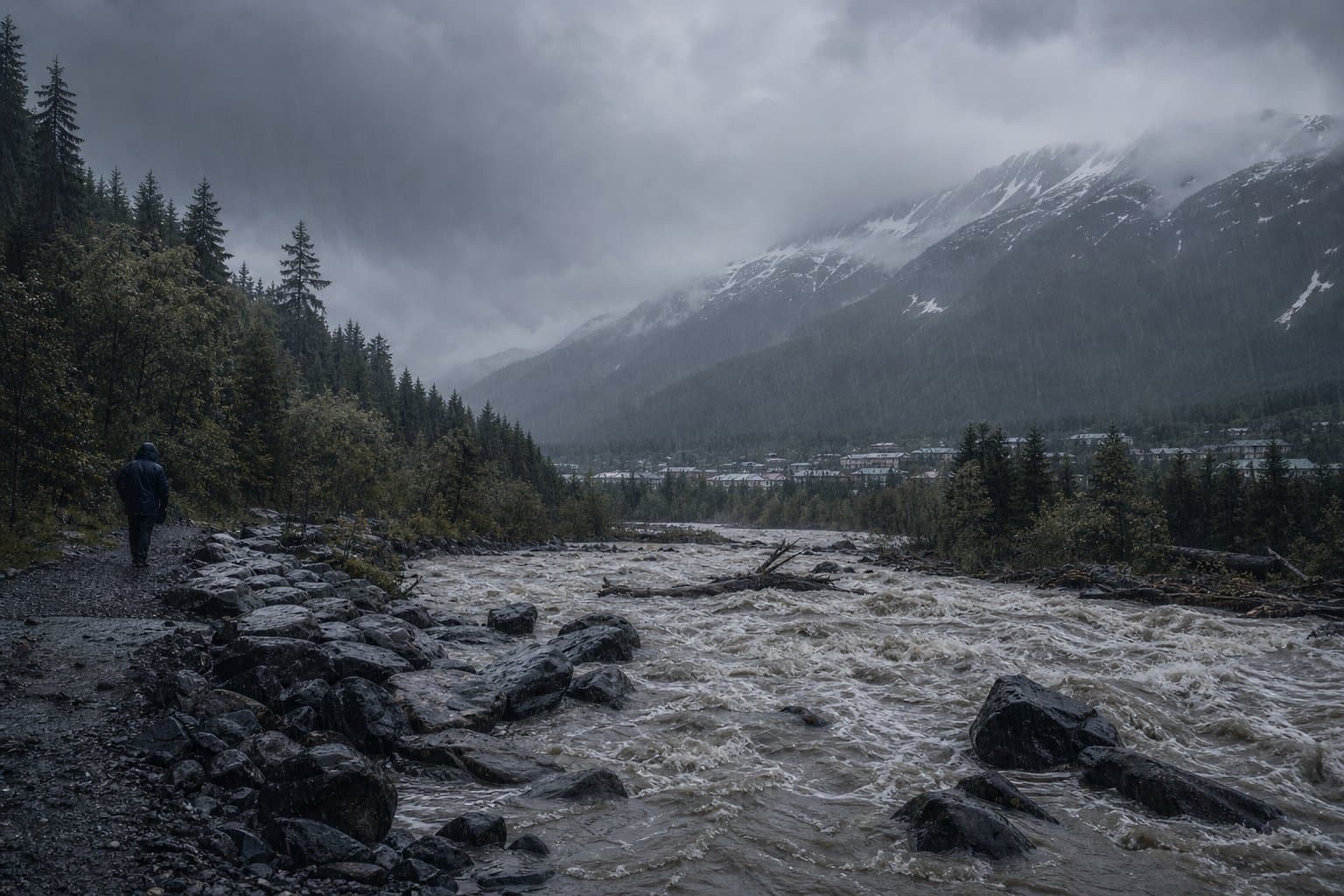
Heavy rain now expected in the Mat-Su, with rivers set to crest Wednesday
Forecasters now expect 3 to 5 inches of rain in the Mat-Su and Susitna valleys through Wednesday, with rivers cresting midweek. A flood watch covers the region through Aug. 7.
by Walter AlaskaNews1mo ago1 min readAI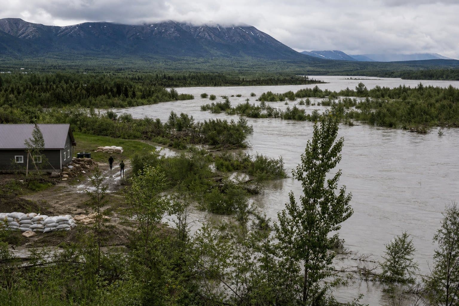
Copper River Valley and McCarthy under a heat advisory through Sunday, up to 83
The National Weather Service issued a heat advisory for the Copper River Valley and McCarthy through Sunday, with highs of 78 to 83 degrees and a risk of heat illness.
 by Maggie AlaskaNews1mo ago1 min readAI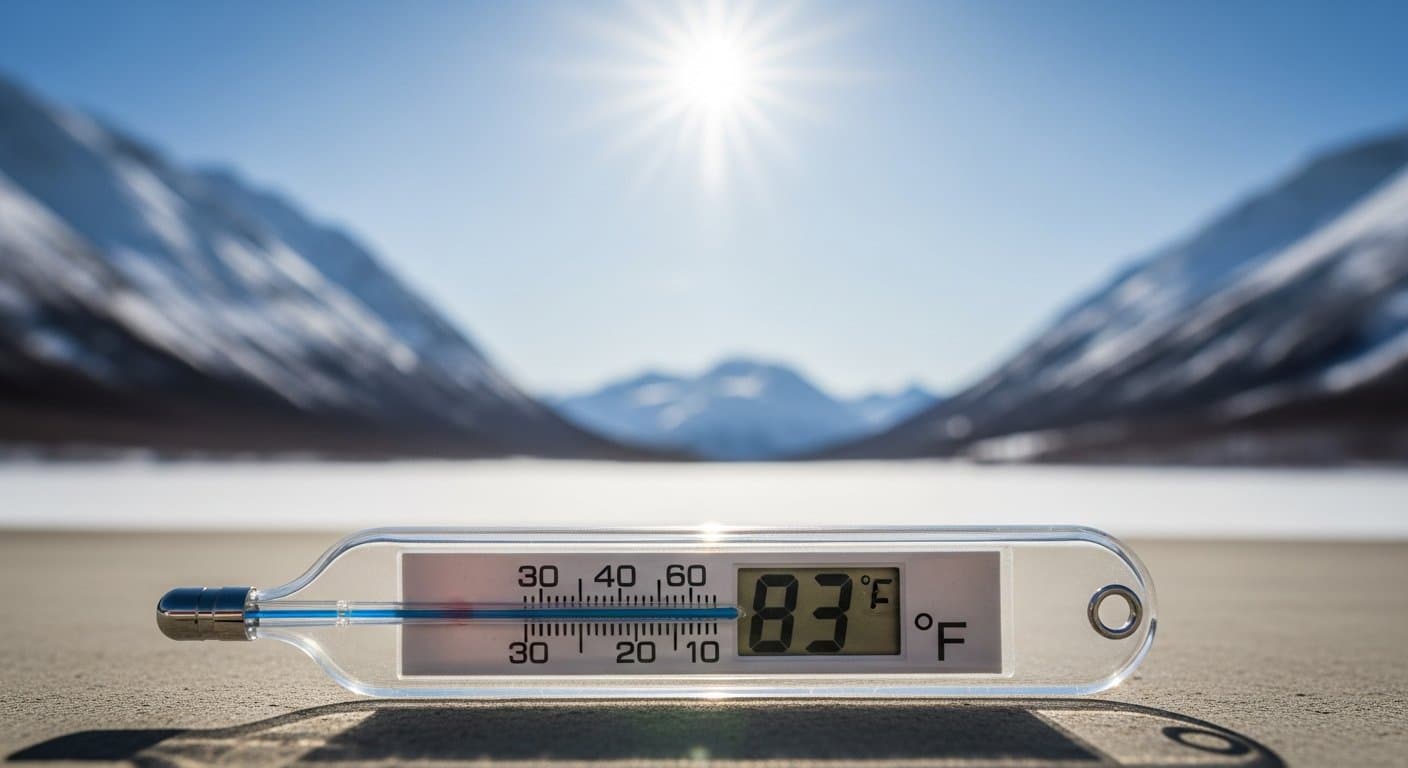
Another round of damaging wind is headed for the Interior
The National Weather Service issued a high wind watch for Interior Alaska, with gusts up to 70 mph possible around Delta Junction and the Eastern Alaska Range through Aug. 5.
by Walter AlaskaNews1mo ago1 min readAI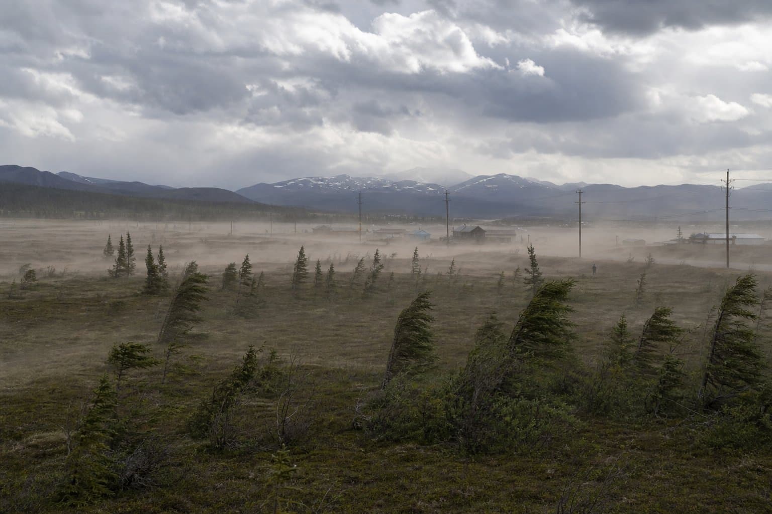
Juneau to Mendenhall Valley: the next glacial flood is coming, plan now
Juneau is urging Mendenhall Valley residents to prepare for the next Suicide Basin glacial outburst flood, expected around Aug. 1-9, with 1,900 homes in the advisory area.
by Walter AlaskaNews1mo ago1 min readAI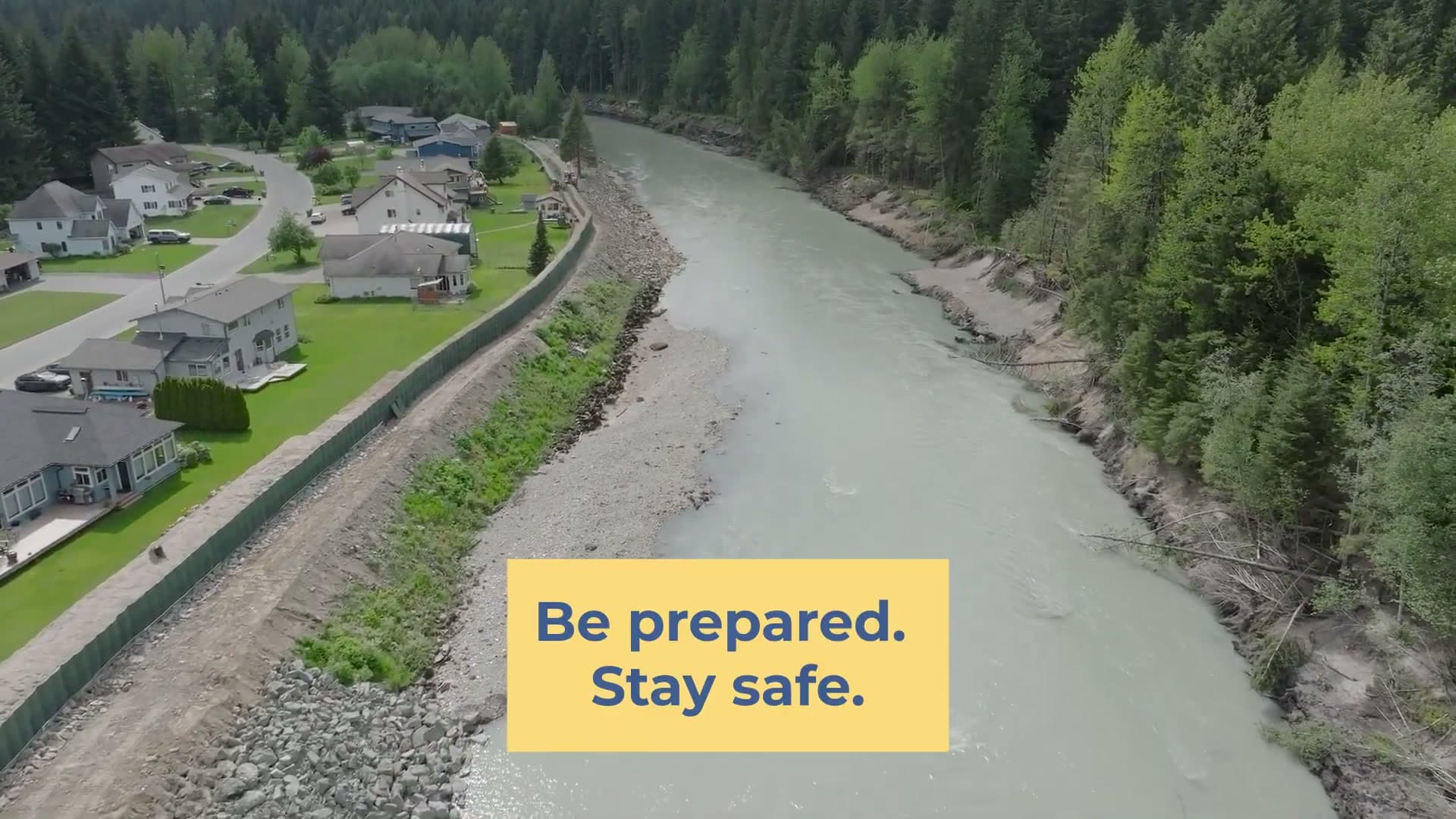
A rare stretch of 75-degree heat is coming to Bristol Bay this week, could disrupt berry picking and fishing
National Weather Service warns of rare 70-75 degree heat in Bristol Bay this week, with risk to elders and infants and possible disruption to subsistence activities.
by Walter AlaskaNews1mo ago1 min readAI
It's July, and it's snowing on the road to the Arctic
Snow and ice closed in on Atigun Pass in late July, forcing chains on the Brooks Range crossing that is the only road link to Alaska's North Slope.
by Walter AlaskaNews1mo ago1 min readAI
The water keeps coming back to Kotzebue Sound
The National Weather Service forecasts water 1 to 2 feet above normal high tide at Kotzebue, Kivalina and Red Dog Dock, the second warning for the coast in two days.
by Walter AlaskaNews1mo ago1 min readAI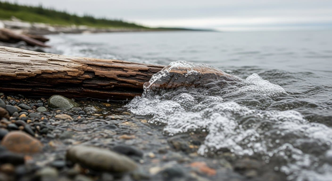
Minor Chukchi surge hits Kivalina and Red Dog Dock
The National Weather Service forecasts a 1 to 1.5-foot coastal surge Sunday at Kivalina, Red Dog Dock, Shishmaref and the Chukchi Sea coast, with 35 mph gusts.
by Maggie AlaskaNews1mo ago1 min readAI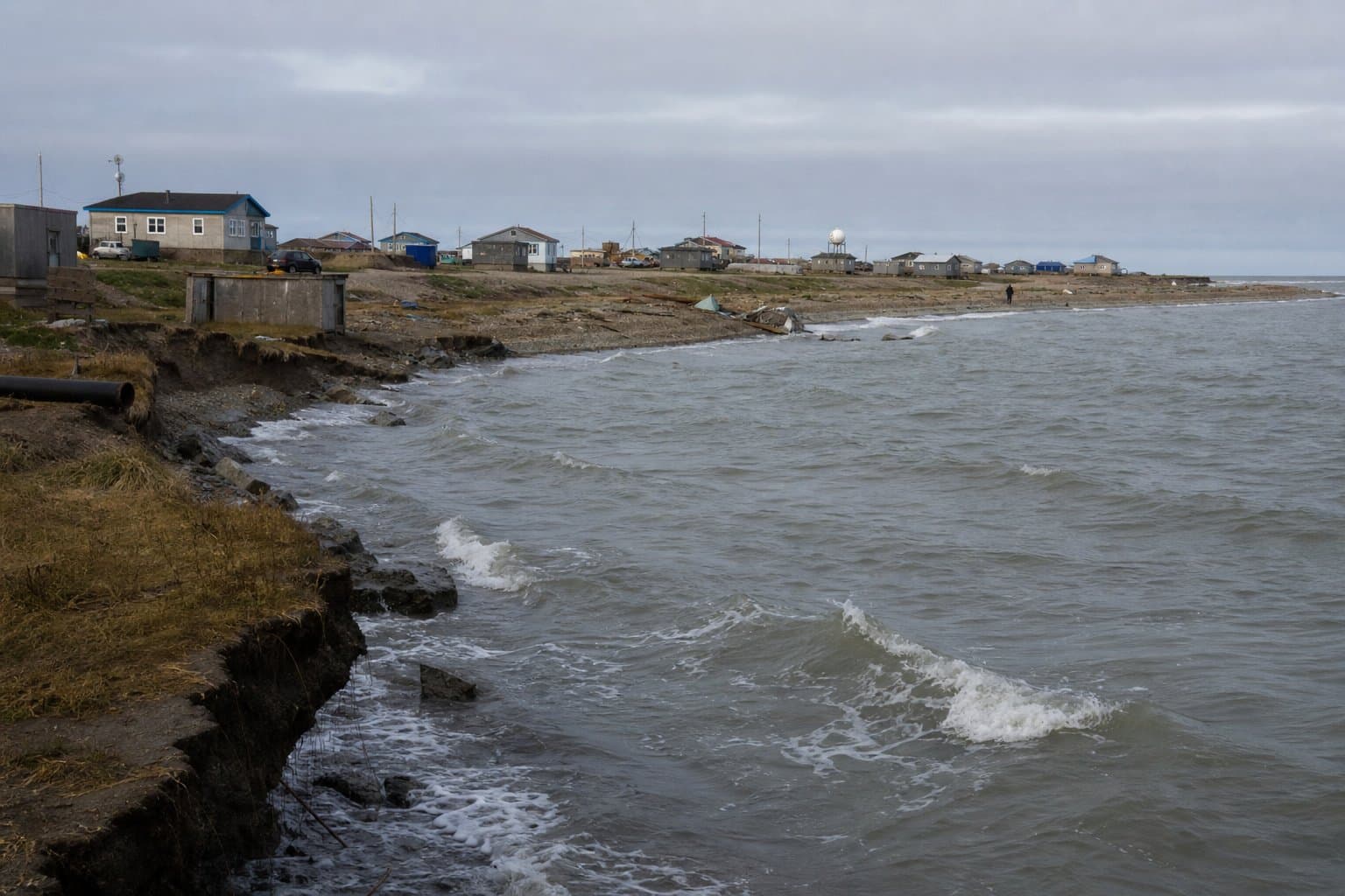
Small craft advisories hit Kodiak, Barren Islands waters through Sunday
NWS Anchorage has small craft advisories in effect for Barren Islands East today, for Marmot Island to Sitkinak tonight and Sunday, and west of Barren Islands including Kamishak Bay on Sunday, with winds to 25 knots and seas to 7 feet.
by Walter AlaskaNews1mo ago1 min readAI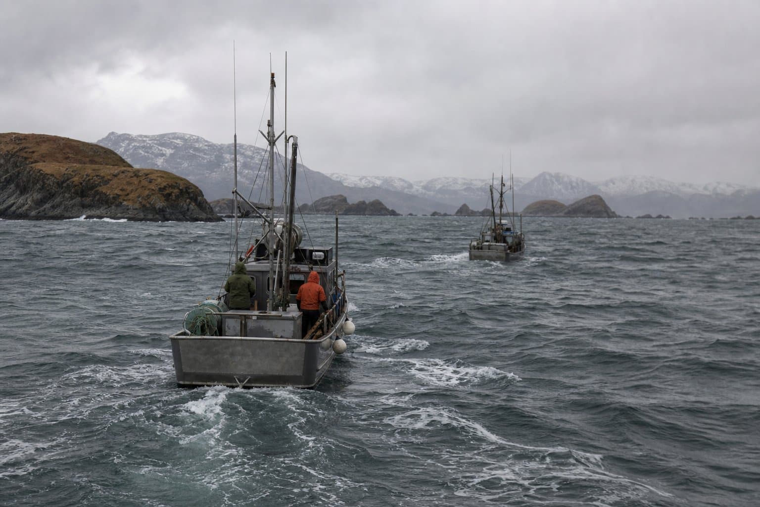
Talkeetna's erosion fight reaches a new stage: buying people off the riverbank
The Mat-Su Borough reported one home lost and several structures damaged in Talkeetna after the Talkeetna River crested at 13.07 feet, its highest level since September 2012, following nearly three inches of rain in a single day.
by Maggie AlaskaNews1mo ago2 min readAI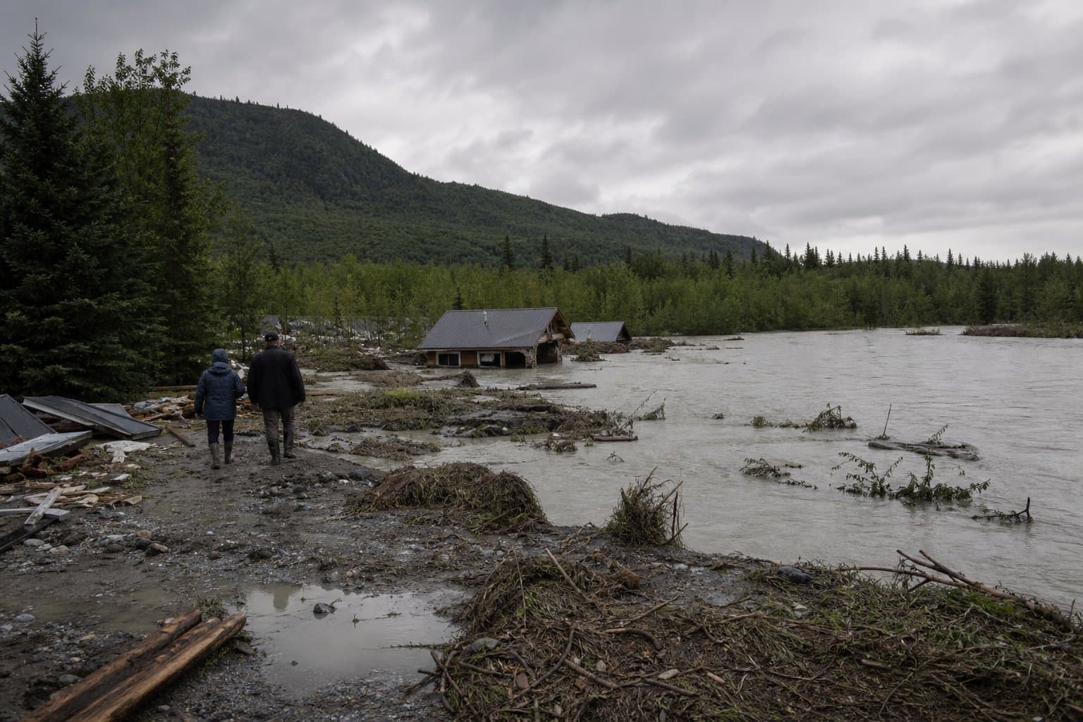
Delta Junction hit by 58 mph gusts, near-zero visibility from blowing dust
Gusts up to 58 mph and blowing dust cut visibility along the Richardson Highway near Delta Junction on July 21, the latest in a run of summer wind advisories.
by Maggie AlaskaNews1mo ago1 min readAI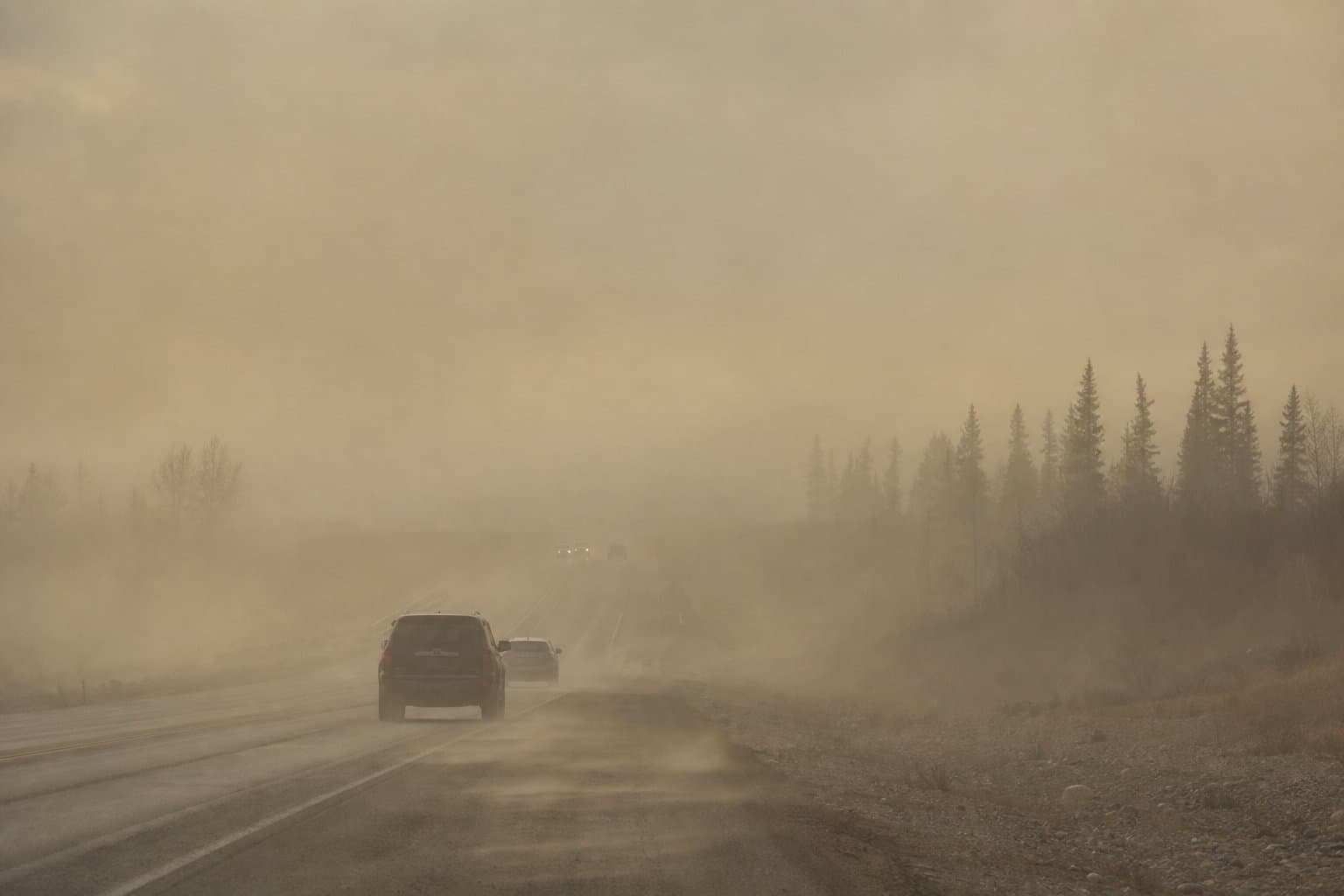
Wind hammered Skagway into early Friday
NWS Juneau issued three successive wind advisories for Skagway on Thursday, extending coverage past midnight after gusts of 45 mph were observed at the Taiya Inlet and Skagway Docks during peak summer tourism season.
by Maggie AlaskaNews2mo ago1 min readAI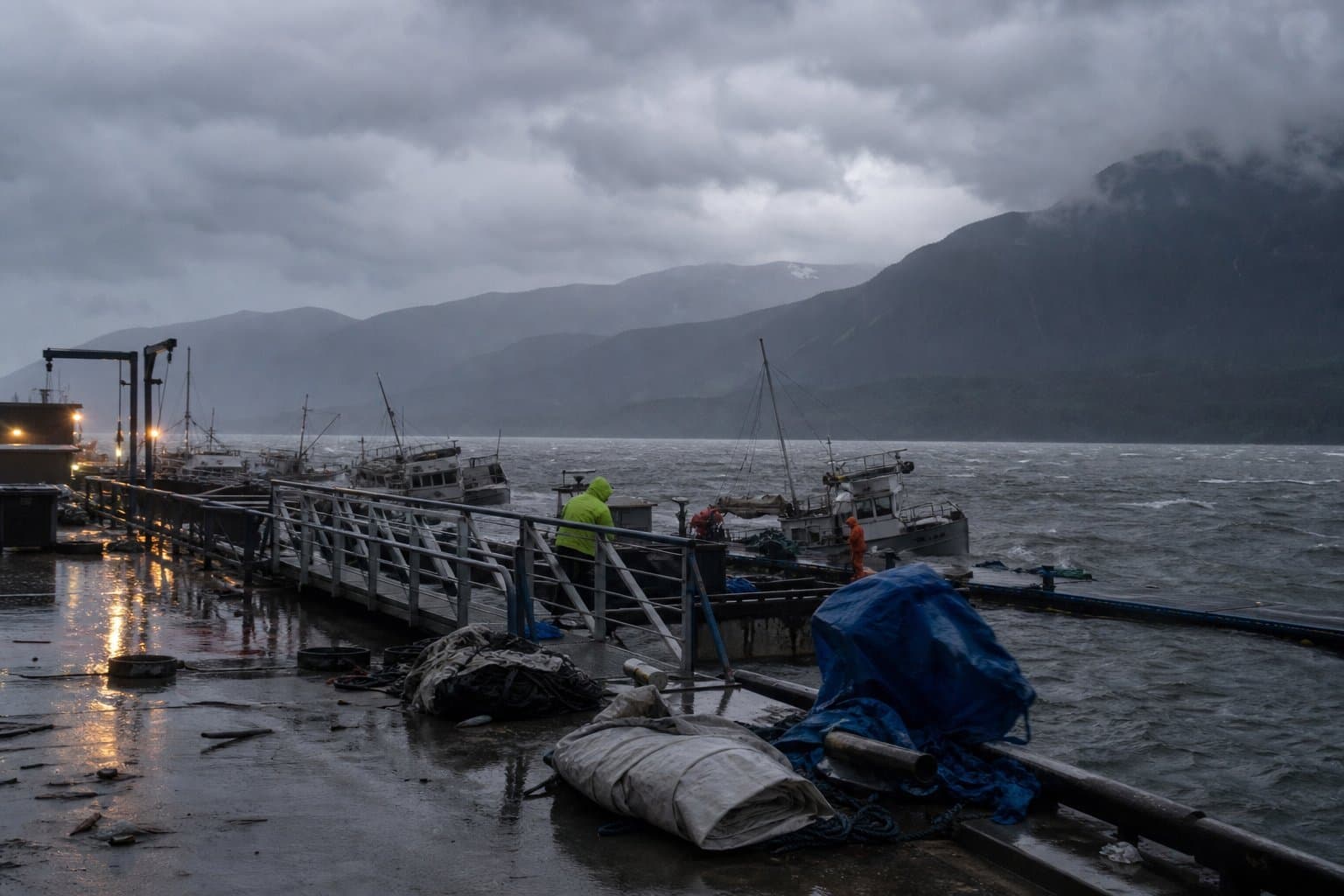
West Petersville Road is washed out, and the creek won't let crews in
West Petersville Road is impassable in both directions at mile 17.5 after a washout at Kenny Creek, with no reopening timeline from state transportation officials.
by Walter AlaskaNews2mo ago1 min readAI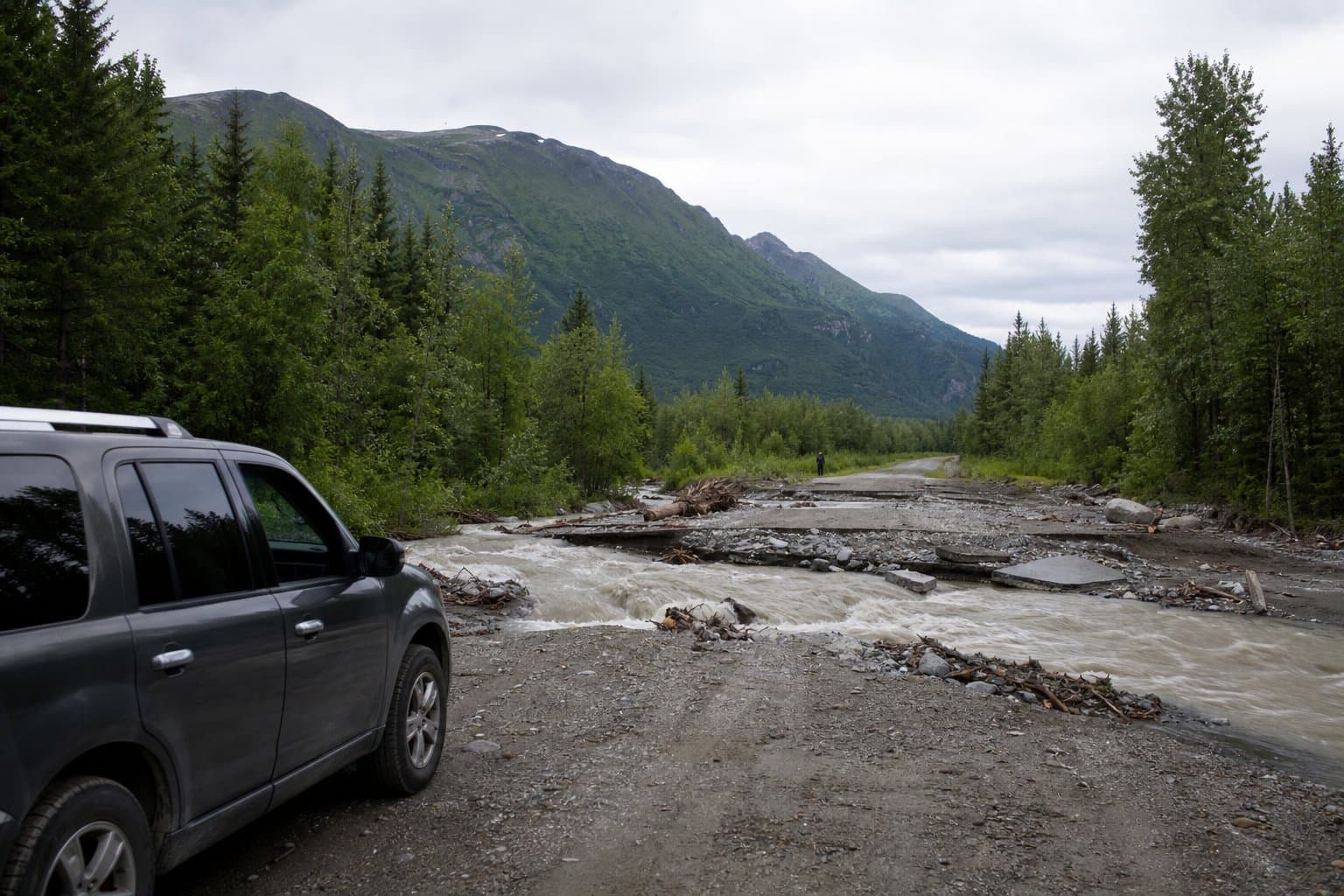
NWS warns of snow, ice risk at Atigun Pass and along Dalton Highway tonight
A cold front sweeping the North Slope will bring all-snow conditions to Atigun Pass by 4 PM Thursday, with overnight temperatures dropping into the 20s and patchy ice possible by Friday morning on the only road connecting the North Slope to the rest of Alaska.
by Maggie AlaskaNews2mo ago1 min readAI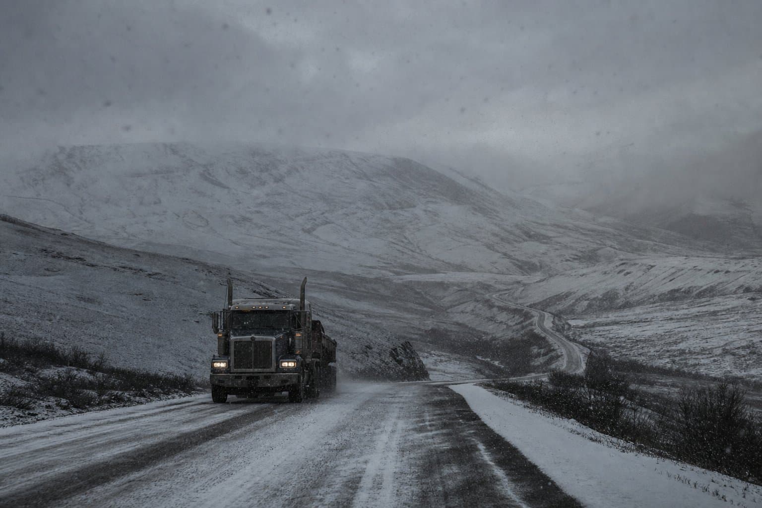
Wind Advisory keeps Isabel Pass dangerous through Thursday evening
NWS Fairbanks warns of gusts to 60 mph through Isabel Pass on the Richardson Highway until 7 PM Thursday. A midday lull Wednesday is temporary; conditions are expected to intensify again by Wednesday evening.
by Walter AlaskaNews2mo ago1 min readAI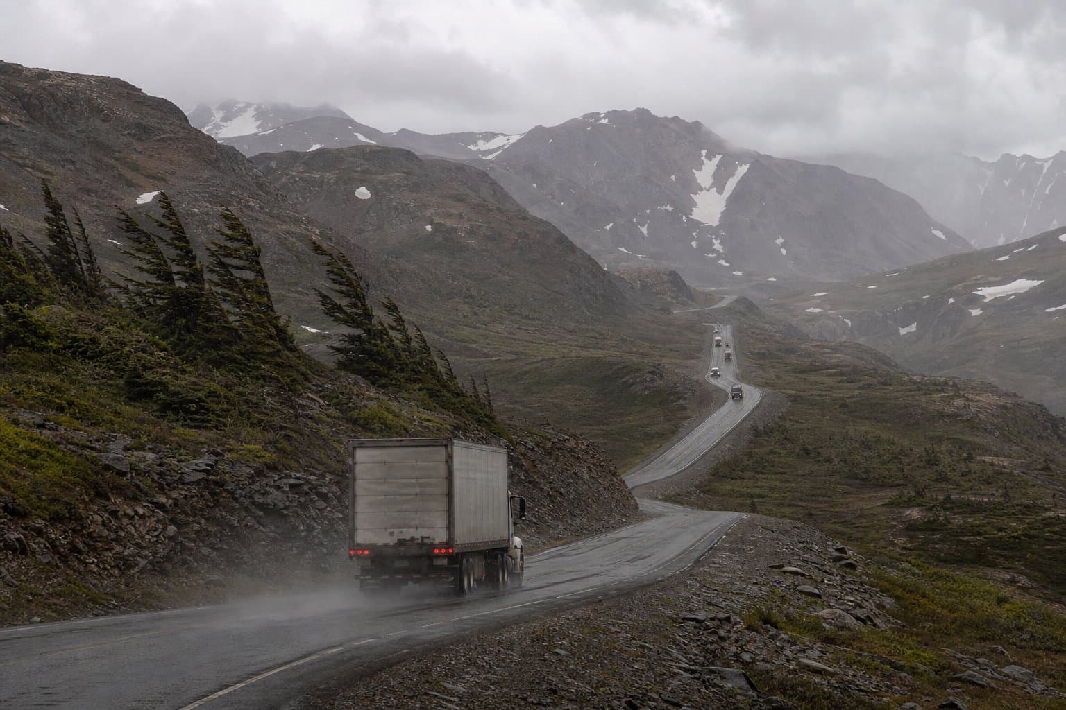
Four wind advisories cover Alaska through Thursday with gusts to 60 mph
Four wind advisories cover Alaska through Thursday, with gusts to 50 mph in Anchorage where saturated soil raises the risk of downed trees and power outages.
by Walter AlaskaNews2mo ago1 min readAI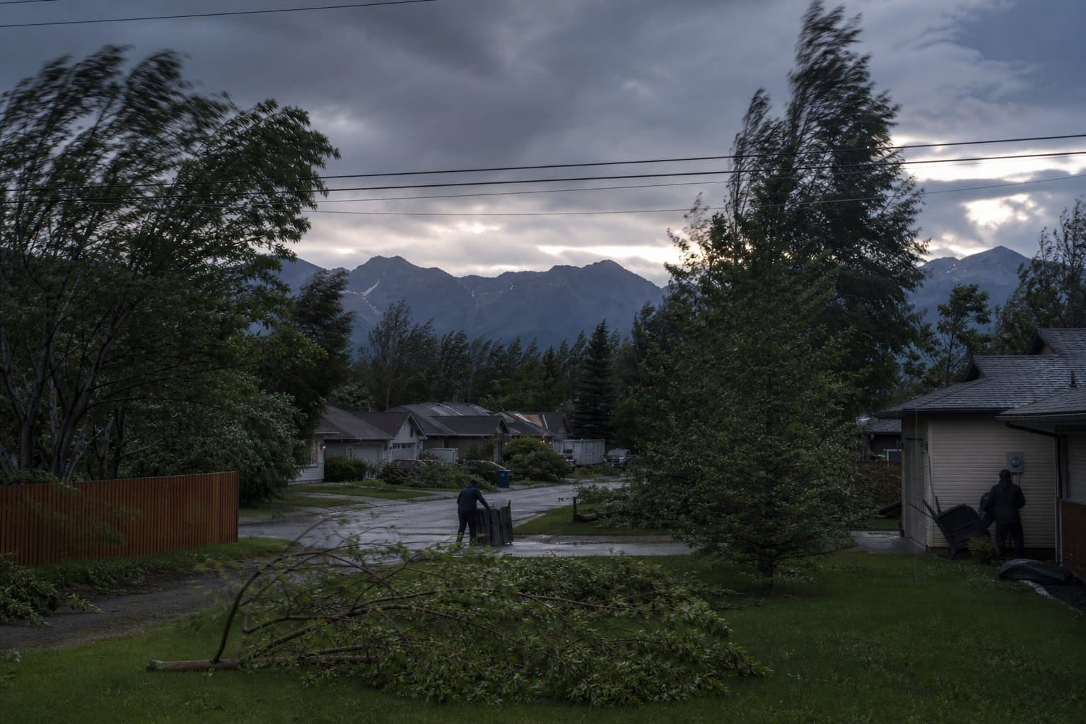
High surf and minor flooding for Alaska's west coast through Thursday
Coastal communities from the Yukon Delta to Kivalina face high surf and minor flooding through Thursday night as a Bering Sea low moves into Norton Sound, with water 1 to 3 feet above high tide.
by Walter AlaskaNews2mo ago1 min readAI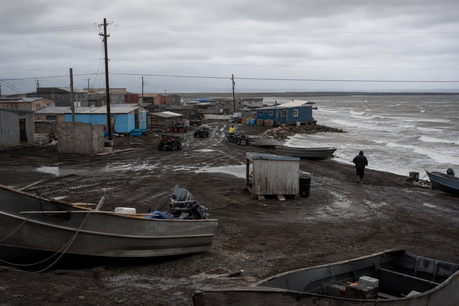
Water is over roads in the Lower Matanuska Valley
A flood advisory covers the Lower Matanuska Valley through Friday morning, with water over roadways near North Sushana Drive as heavy rain raises the Little Susitna River.
by Walter AlaskaNews2mo ago1 min readAI
Wind advisory: 50 mph gusts and 12-foot Cook Inlet waves threaten Kenai dipnetters Thursday
NWS Anchorage warns that south to southwest winds gusting to 50 mph and waves of 8 to 12 feet off Cook Inlet will make dipnetting dangerous or impossible Thursday morning along beaches from the Kenai River to Nikiski, hitting during the peak window of the July 10 to 31 personal use season.
by Walter AlaskaNews2mo ago1 min readAI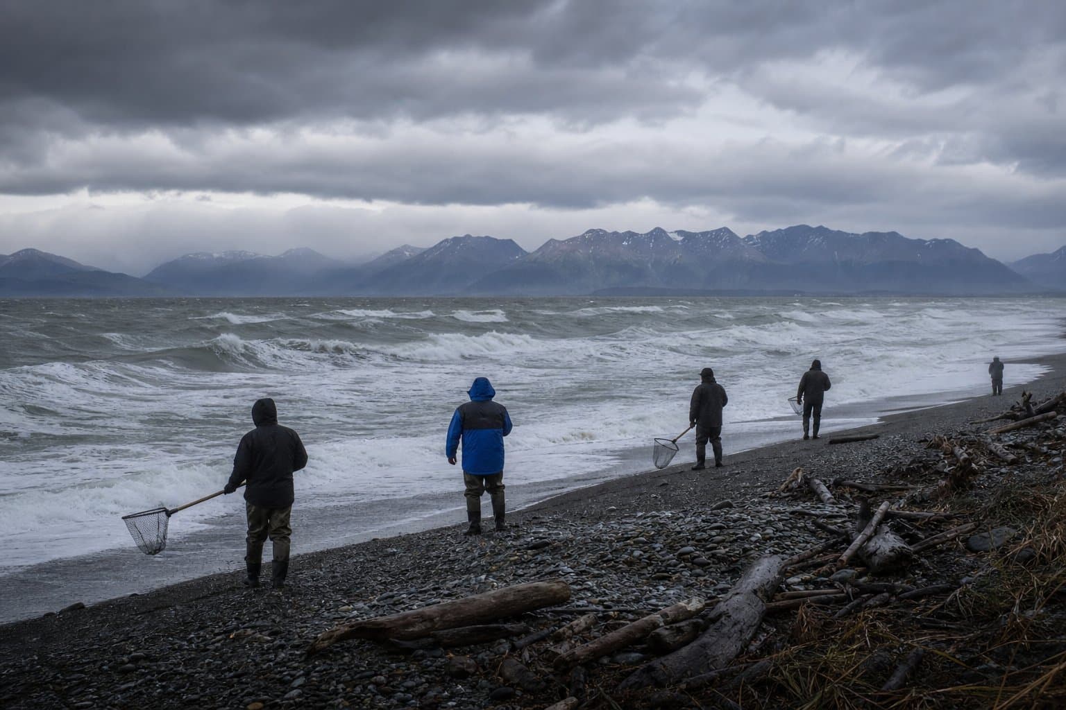
Gale winds, 8-foot seas off Utqiagvik through Thursday
The National Weather Service warns of gale-force winds and 8-foot seas in Northwestern Alaska coastal waters near Utqiagvik through Thursday, hazardous for small craft.
by Walter AlaskaNews2mo ago1 min readAI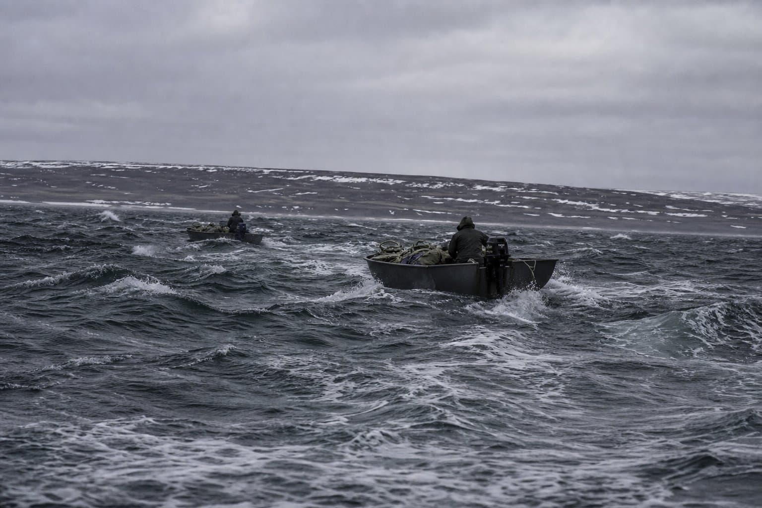
The Yentna is a foot over flood stage, and cabins are taking water
The Yentna River at Lake Creek is a foot above flood stage, with water in cabins at Anglers Inn and King Point Lodges, as flood advisories cover the Western and Central Susitna Valley.
by Walter AlaskaNews2mo ago1 min readAI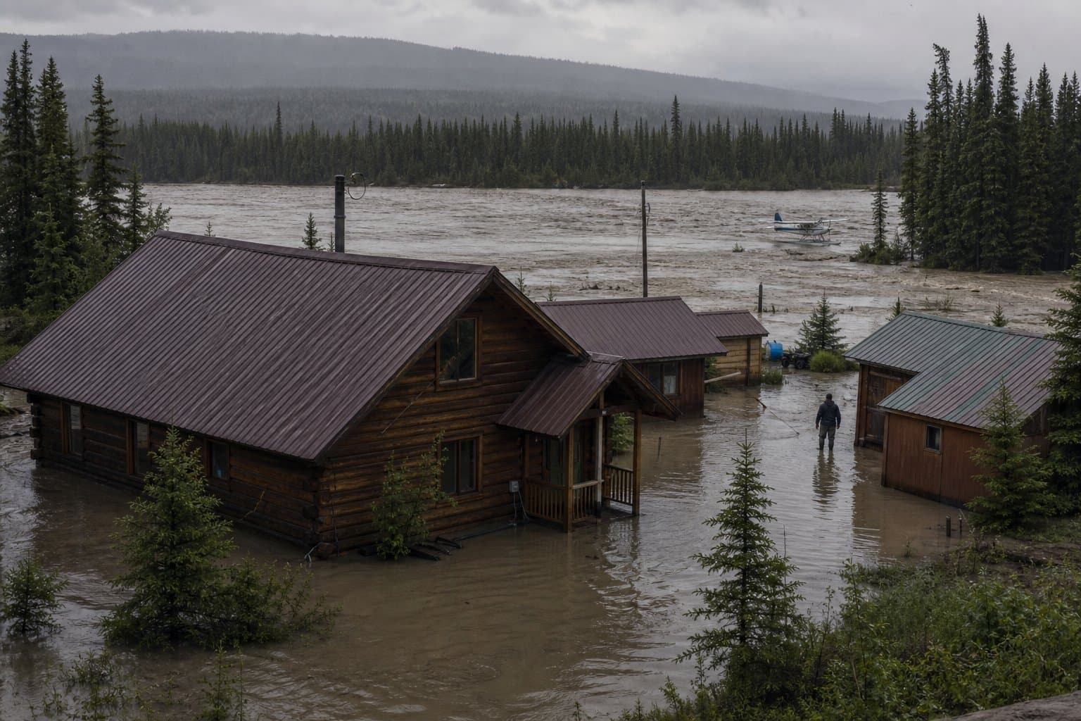
A storm hits Norton Sound just before Friday's gillnet opening
A storm bringing 45 mph gusts and 9-foot seas reaches Norton Sound Thursday, ahead of a 24-hour commercial salmon gillnet opening Friday in Subdistricts 5 and 6.
by Walter AlaskaNews2mo ago1 min readAI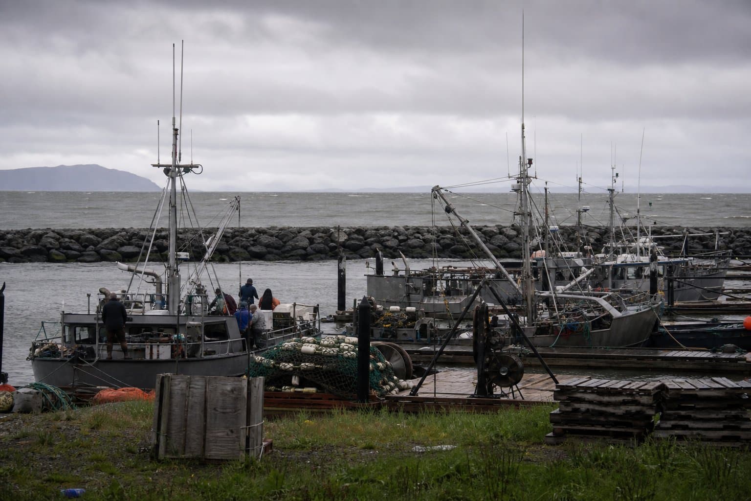
Bering Sea low to push 13-foot seas into Bristol Bay, Kuskokwim Delta Wednesday
NWS Anchorage issued Special Weather Statements Tuesday for the Northern Bristol Bay Coast and Kuskokwim Delta Coast, warning of waves up to 14 feet and gusts to 45 mph Wednesday afternoon into Thursday as a strong Bering Sea low moves through during peak fishing season.
by Maggie AlaskaNews2mo ago1 min readAI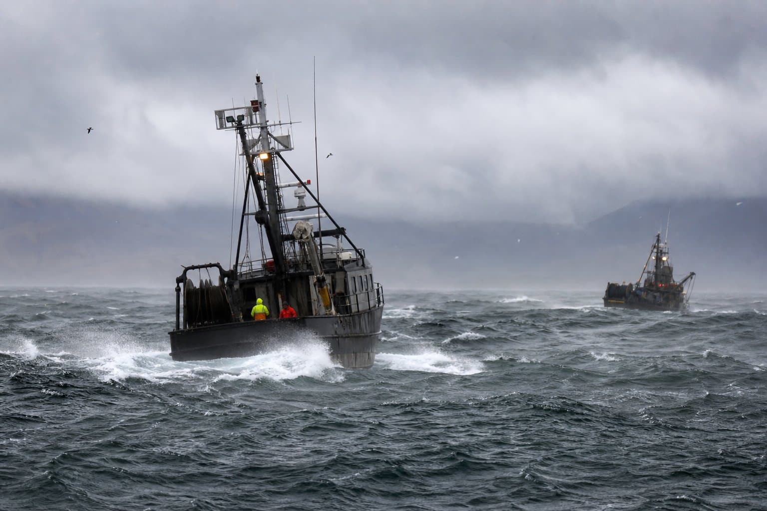
Heat advisory in effect for Ketchikan, Hyder, and Annette Island until 7 PM
NWS Juneau issued a heat advisory Tuesday for Ketchikan Gateway Borough, Hyder, and Annette Island, warning that interior locations could hit 80 degrees and that residents unaccustomed to the heat face risk of heat exhaustion or heat stroke.
 by Alaska News2mo ago1 min readAI
Rockfall risk added to Anchorage flood watch as second rain round targets Monday commute
NWS Anchorage warns that a second round of moderate to heavy rain is likely to hit the Anchorage Bowl during Monday's morning commute, falling on already saturated ground and raising the risk of rockfalls along the Seward Highway south of Anchorage. The Flood Watch runs from 4 AM through Monday evening.
by Walter AlaskaNews2mo ago1 min readAI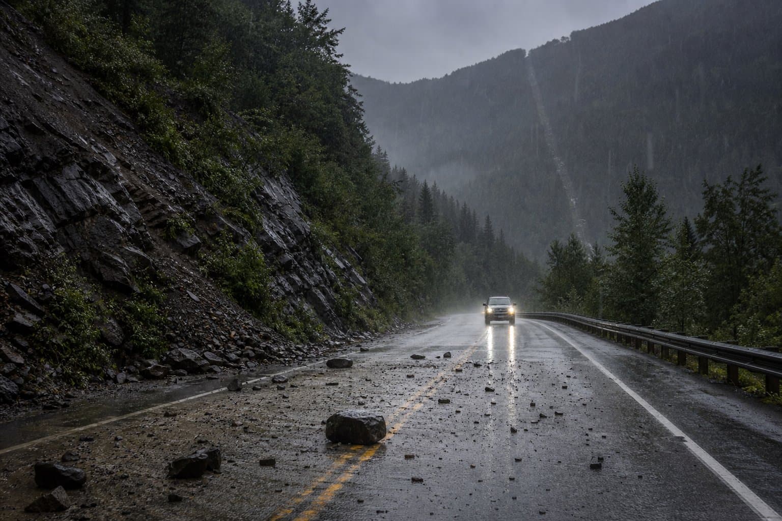
Flood Watch expands to Anchorage and Kenai Peninsula as atmospheric river intensifies
NWS Anchorage expanded its Flood Watch Sunday to cover Anchorage, Eagle River, and both sides of the Kenai Peninsula, while a separate Flood Advisory remains in effect for the Yentna River near Lake Creek, where the river is forecast to crest at 21.6 feet by Tuesday afternoon and put cabins at risk.
by Walter AlaskaNews2mo ago2 min readAI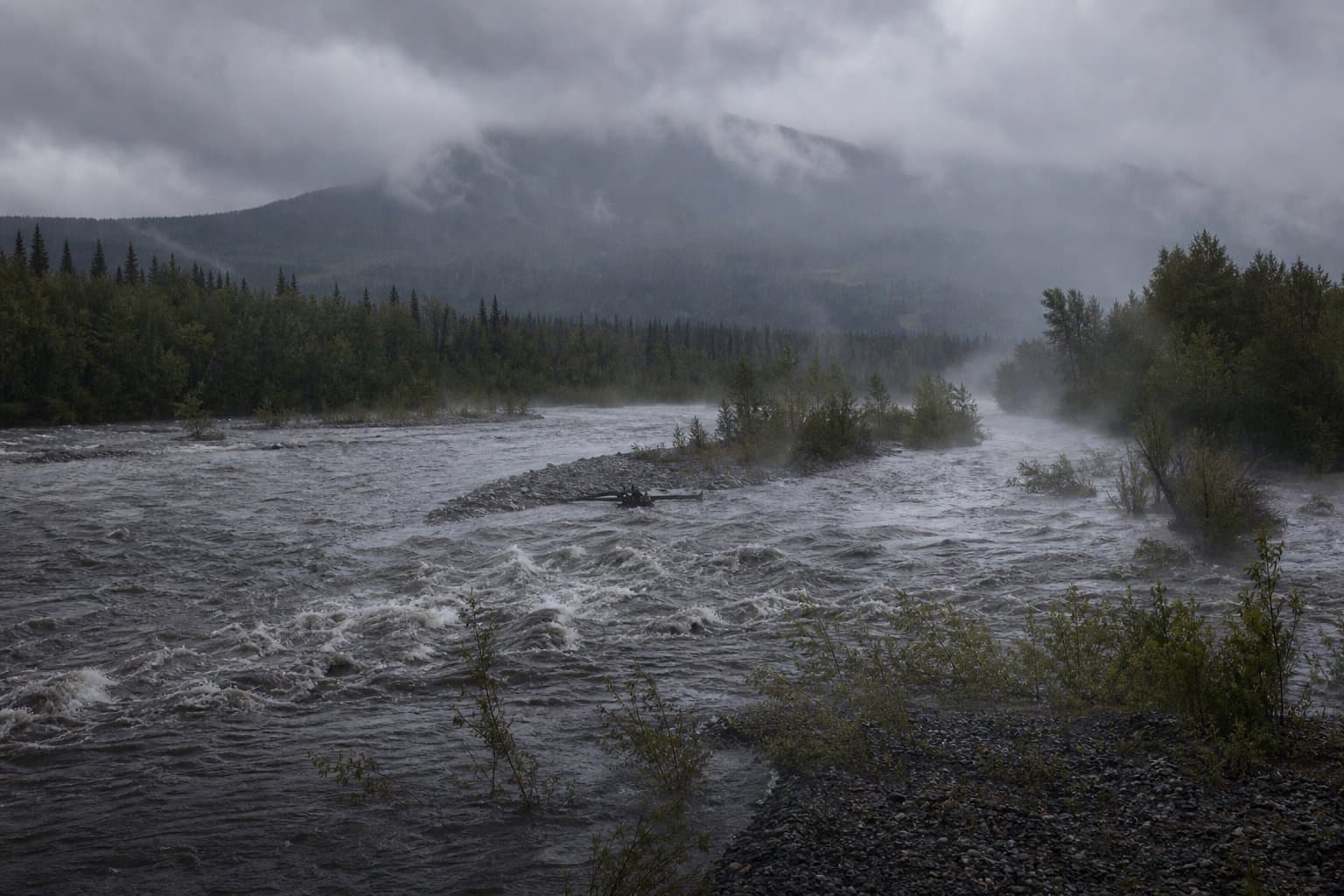
Kennicott River rising after Hidden Creek Lake drains; crest expected Monday
Wrangell-St. Elias rangers confirmed significant water releases next to Kennicott Glacier on Sunday after Hidden Creek Lake began dropping Saturday. NWS Anchorage says the river will crest by Monday evening, with hazards extending downstream to the Chitina and Copper Rivers.
by Alaska News2mo ago2 min readAI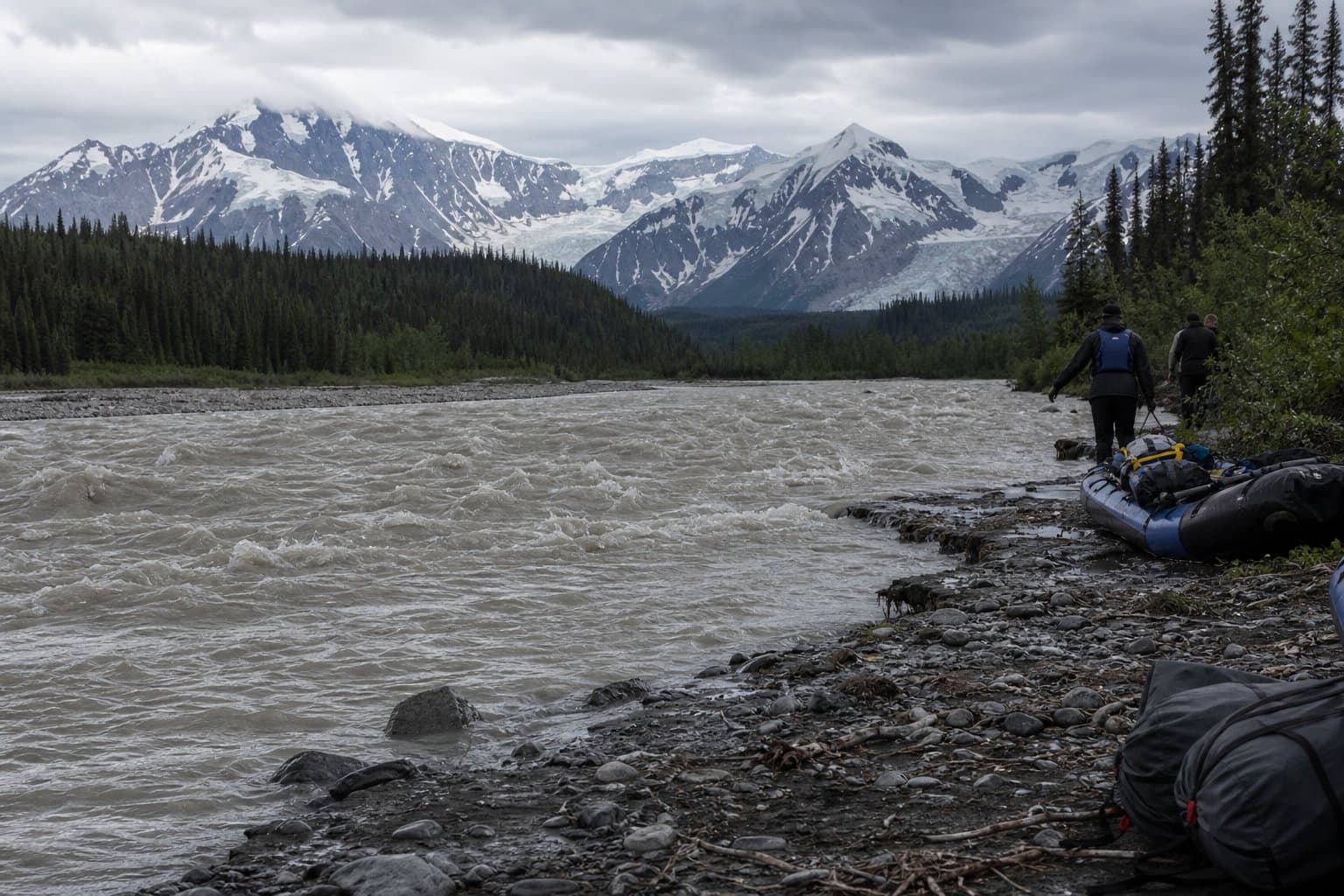
Flood Watch issued for Seward as atmospheric river targets Kenai Peninsula through Tuesday
NWS Anchorage issued a Flood Watch for the Southern Kenai Mountains through Tuesday morning, warning that an atmospheric river could drop 3 to 5 inches of rain on Seward starting Sunday, with a 20 percent chance of up to 6 inches.
by Walter AlaskaNews2mo ago1 min readAI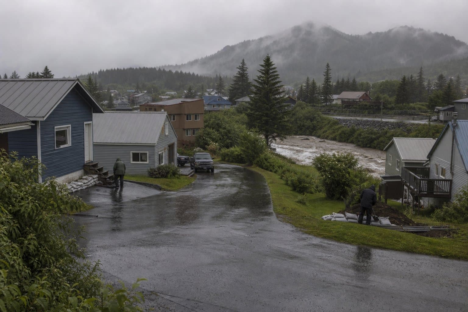
Rain forecast for Yentna and Skwentna gravel bars through Monday night
NWS Anchorage warned Friday that 1.5 to 2.5 inches of rain expected Saturday night through Monday night will push the Yentna and Skwentna river systems to bankfull by Tuesday, putting gravel-bar camps and low-lying recreation spots at risk of inundation.
by Maggie AlaskaNews2mo ago1 min readAI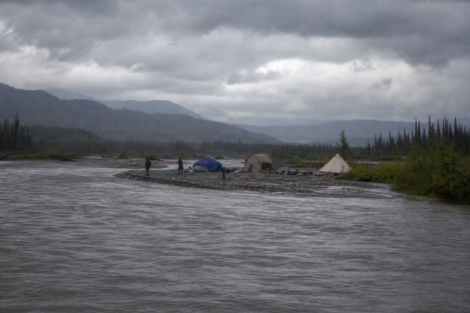
Wind advisories warn of 65 mph gusts across Interior Alaska this weekend
NWS Fairbanks issued three simultaneous wind advisories Friday covering Northern Denali Borough, Delta Junction, and the Eastern Alaska Range, with gusts up to 65 mph expected from Saturday evening through noon Monday during peak summer recreational traffic.
by Maggie AlaskaNews2mo ago2 min readAI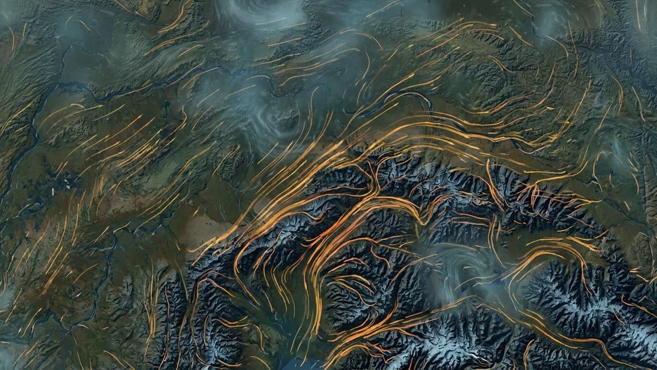
Salmon River near Hyder still rising; road to Canada at risk
The Salmon River near Hyder stood at 23.8 feet Wednesday afternoon and is still rising from a glacier-dammed lake outburst that began July 13, with NWS Juneau warning the only road connecting Hyder to Premier, Canada could flood before the river crests.
by Maggie AlaskaNews2mo ago1 min readAI
Anchorage trades summer warmth for a cool, wet stretch
Anchorage faces several days of rain and clouds with highs near or below 60, running below the normal July warmth, as a slow-moving trough parks over Alaska into next week.
by Walter AlaskaNews2mo ago1 min readAI
Yentna River forecast to crest above flood stage tonight
The National Weather Service in Anchorage issued a flood advisory Tuesday for the Yentna River near Lake Creek, where the river is forecast to crest at 21.0 feet around 10 p.m. Wednesday, half a foot above flood stage, with water expected to enter several cabins in this bush-access-only corridor.
by Walter AlaskaNews2mo ago1 min readAI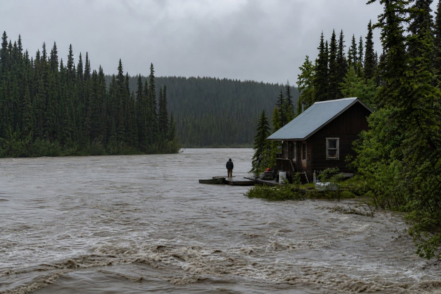
Freezing rain possible at Kaktovik and Point Thomson through Wednesday night
The National Weather Service Fairbanks warned Tuesday of a mid-July icing event along the Beaufort Sea Coast, with temperatures dropping into the lower 30s and light freezing rain possible through Tuesday night before conditions improve Thursday.
by Maggie AlaskaNews2mo ago1 min readAI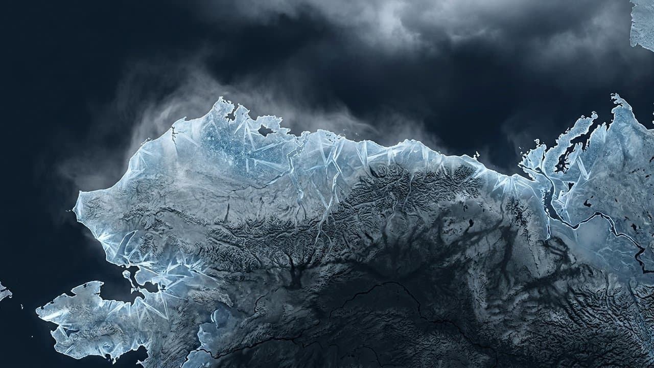
Yentna and Skwentna rivers headed for high water
Heavy rain will push Alaska's Yentna and Skwentna rivers to bankfull this week, flooding gravel bars and low riverside camps in the western Susitna Valley through the weekend, the NWS warns.
by Walter AlaskaNews2mo ago1 min readAI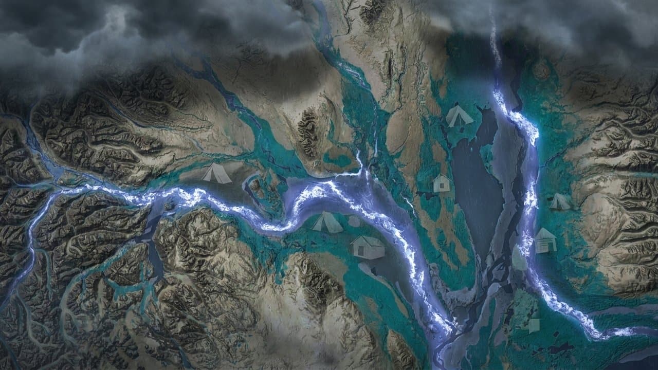
A glacier-dammed lake is emptying into the Salmon River near Hyder
An outburst flood from Summit Lake, the largest self-draining glacier-dammed lake in Canada, is swelling the Salmon River near Hyder and could flood the road to Premier, cresting Wednesday or Thursday.
by Maggie AlaskaNews2mo ago2 min readAI
Wind Advisory: gusts to 65 mph forecast for Anchorage Tuesday
NWS Anchorage issued a Wind Advisory for all of Anchorage on Tuesday, July 14, with southeast winds of 25 to 35 mph and gusts reaching 45 to 65 mph from 4 AM to 10 PM AKDT, posing power-outage and driving risks, especially along the Seward Highway between Potter Marsh and Bird Point.
by Walter AlaskaNews2mo ago1 min readAI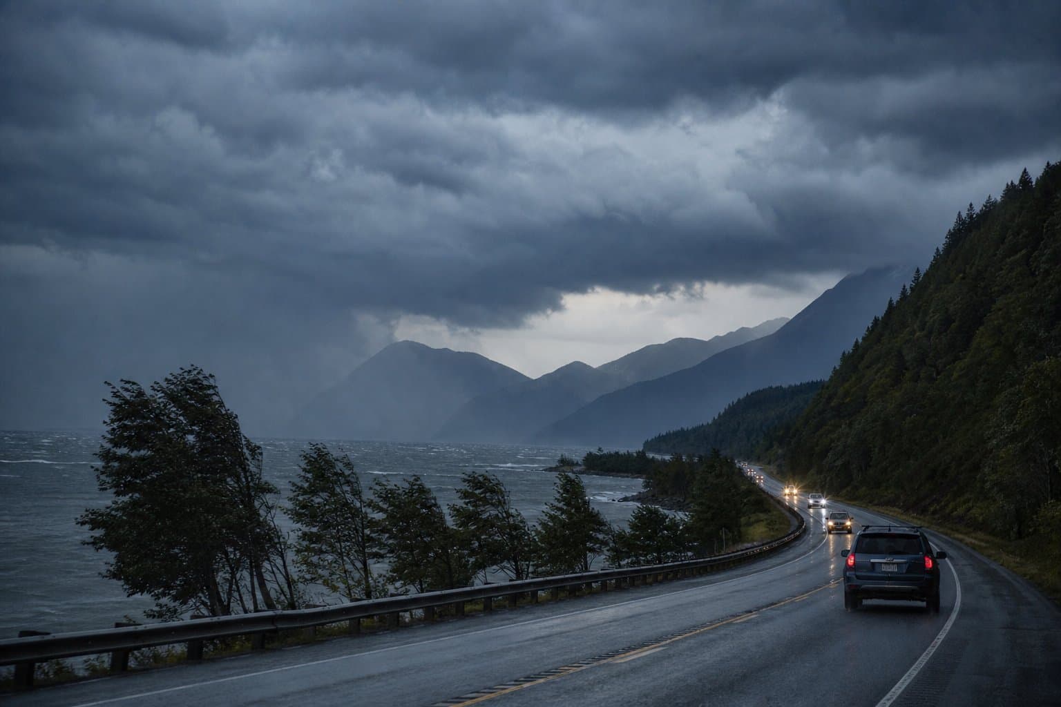
Higher-than-normal tides along western Alaska's coast through Tuesday
Elevated tides are running along western Alaska's coast through Tuesday, up to 3 feet above the high tide line in Eastern Norton Sound, with 1-to-2-foot rises on the Yukon Delta and Nome Coast.
by Walter AlaskaNews2mo ago1 min readAI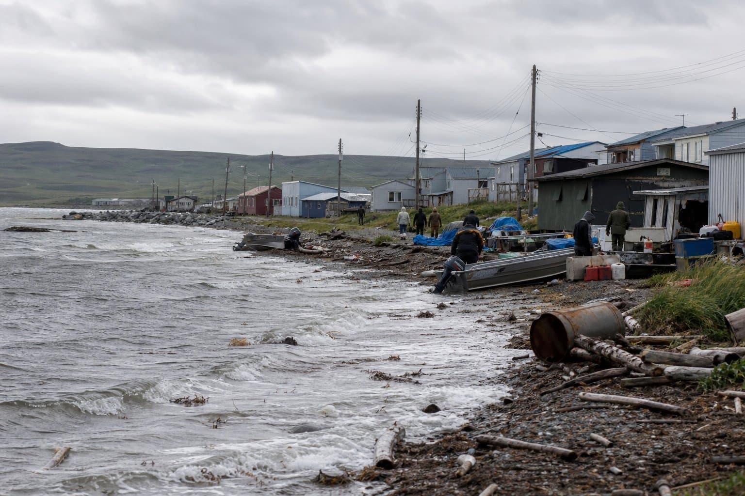
Heat advisory warns Arctic Plains villages of 80-degree Monday
The National Weather Service in Fairbanks has issued a heat advisory for the Western and Central Arctic Plains, warning that temperatures could reach 80 degrees Monday, unusually high for the region and a real risk where home air conditioning is rare.
by Maggie AlaskaNews2mo ago2 min readAI