NOAA forecast offices in Anchorage, Fairbanks, and Juneau. Issues warnings for marine weather, river breakup, avalanches, fire weather, and aviation across Alaska.
222 W 7th Ave #23, Anchorage, AK 99513, USA
Video Clips
Browse all clips
Juneau: July 9, 2026 CBJ Media Availability · Jul 9, 2026

Juneau: July 9, 2026 CBJ Media Availability · Jul 9, 2026

John Bohan
“The breach locations that were chosen are the potential high-impact areas. And so tree strikes and direct, you know, even though we fortified these areas, the direct impacts at the 90-degree corners just effectively to, you know, to prepare for the worst-case scenario. As Ryan said, these are sandbags, they are temporary measures.”Juneau: July 9, 2026 CBJ Media Availability · Jul 9, 2026

John Bohan
“as we saw last year, fortunately above the waterline, but a tree completely blew up the barriers behind the Field House very quickly, very easily. So we do need to be prepared for those events. So be careful. And that's also why we're requesting evacuation because they are temporary and we don't know what, you know, we don't know what force might crack one open.”Juneau: July 9, 2026 CBJ Media Availability · Jul 9, 2026

Juneau: July 9, 2026 CBJ Media Availability · Jul 9, 2026

Juneau: July 9, 2026 CBJ Media Availability · Jul 9, 2026
Forecasters expect 25 to 35 mph gusts across Fairbanks area Saturday
NWS Fairbanks kept a special weather statement in effect from 6:25 a.m. to 10 p.m. Saturday for gusty west-southwest winds of 25 to 35 mph across the Fairbanks Metro Area and surrounding Interior valleys. It was the second such statement in two days. Winds were forecast to ease overnight into Sunday.
 by Maggie AlaskaNews3w ago1 min readAI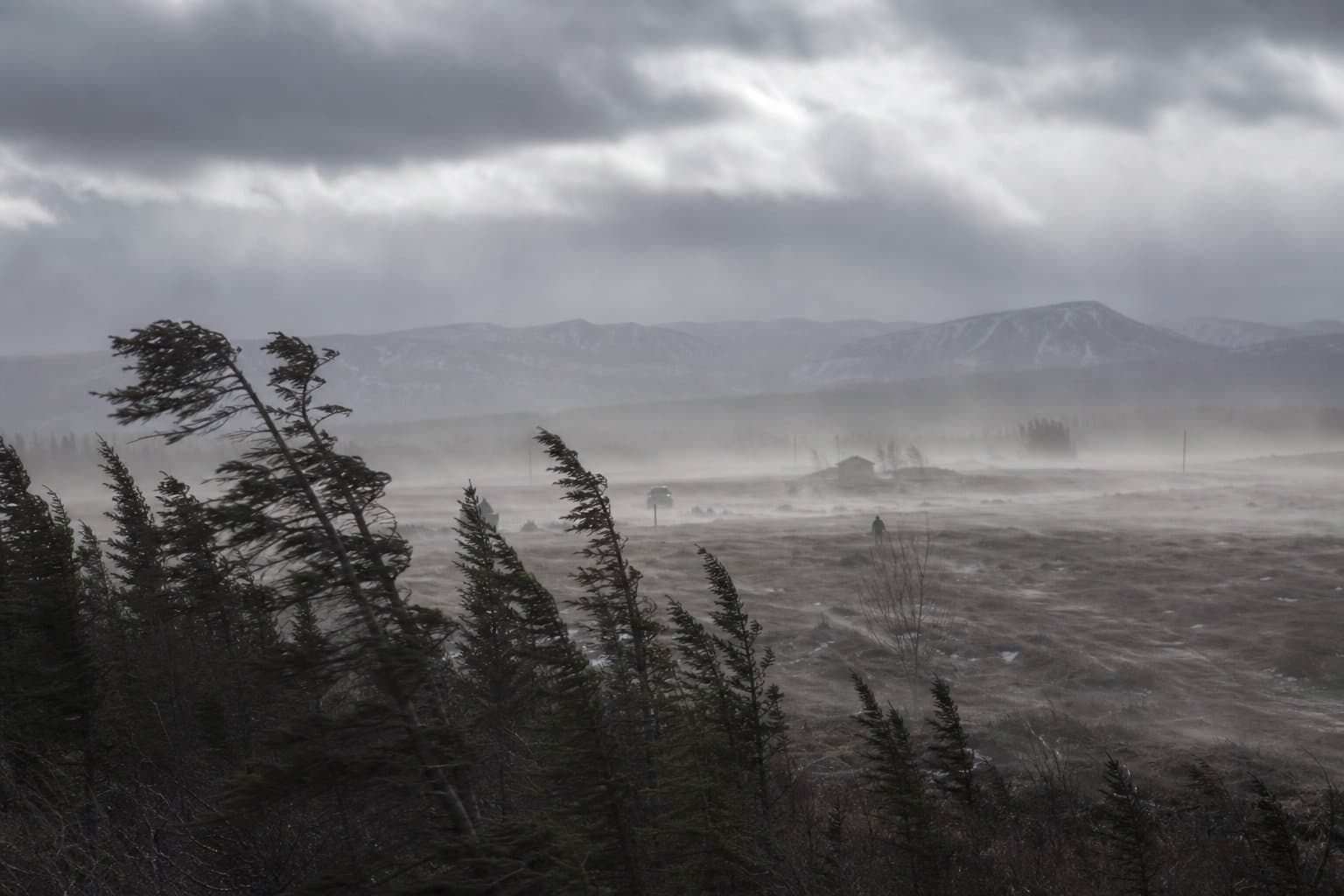
High wind warning: gusts to 70 mph Friday in the Eastern Alaska Range
NWS Fairbanks has issued a High Wind Warning for the Eastern Alaska Range north of Trims Camp from 1 a.m. to 10 p.m. Friday, with south winds of 30 to 40 mph and gusts to 70 mph peaking in the morning. Windy Pass is under a wind advisory on the same timeline.
 by Walter AlaskaNews3w ago1 min readAI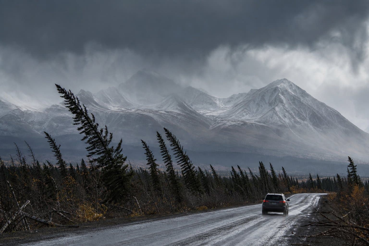
Kuskokwim Delta villages rebuilding from Halong face another storm
Coastal flooding, high surf and strong winds are forecast for the Kuskokwim Delta this week, threatening Kipnuk, Kwigillingok and villages still recovering from Typhoon Halong.
by Walter AlaskaNews3w ago1 min readAI
Sea ice loss has swamped El Niño's grip on Arctic autumns
A climate newsletter analysis of 13 moderate-or-stronger El Niño autumns since 1970 argues that heat released from open Arctic water, not the tropical Pacific pattern, has driven Arctic fall temperatures since 1995. That reading limits what this year's El Niño forecasts for September through November.
 by Melinda Communities.News3w ago2 min readAI
An eclipsed Moon rises over Alaska Wednesday, with aurora possible after
A deep partial lunar eclipse and a possible aurora coincide over Alaska on Wednesday night, with cloud cover the main obstacle in Anchorage and Fairbanks.
by Walter AlaskaNews3w ago2 min readAI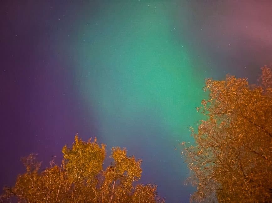
A gale warning hits Bristol Bay and Aleutian waters Wednesday, with a second storm right behind
NWS Anchorage's Coastal Waters Forecast, issued early Tuesday, carries a small craft advisory Tuesday night and a gale warning Wednesday for Southwest Alaska waters, with west winds of 30 knots and seas to 11 feet as a Bering Sea low moves ashore.
by Walter AlaskaNews3w ago1 min readAI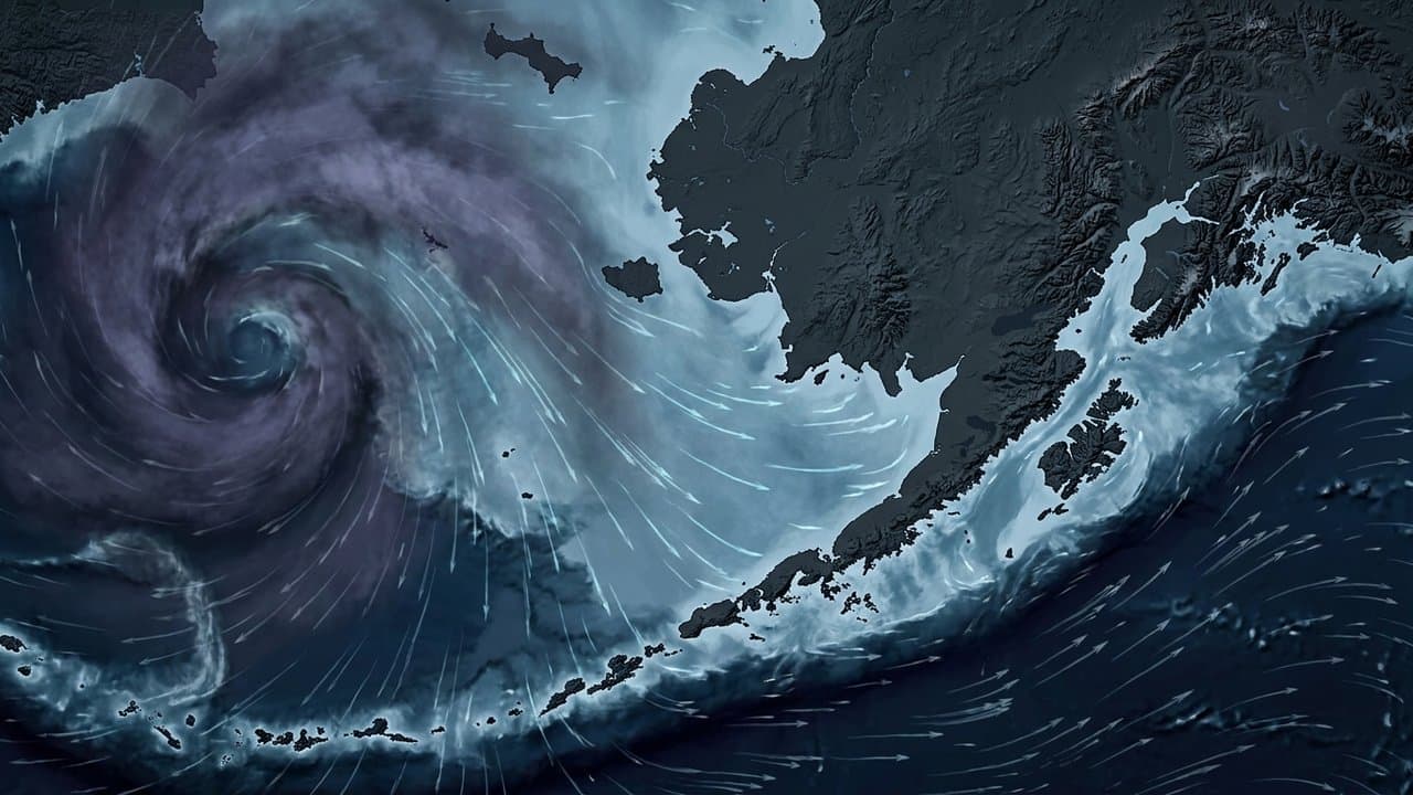
Fog cut visibility to a quarter mile at Gustavus, and it is coming back
NWS Juneau has a dense fog advisory in effect for Gustavus and Glacier Bay until noon Tuesday, with visibility down to a quarter mile or less. Patchy fog reaches into Icy Strait toward Sisters Island but is starting to lift.
 by Alaska News3w ago1 min readAI
It's going to be a windy one across Anchorage and Turnagain Arm on Tuesday
NWS Anchorage forecasts southeast gusts of 40 to 50 mph on the Anchorage Hillside and along Turnagain Arm from Portage to Indian on Tuesday, peaking between 8 a.m. and 6 p.m., with rain through much of the day. Forecasters say a stronger system is due Thursday into Friday.
by Walter AlaskaNews3w ago1 min readAI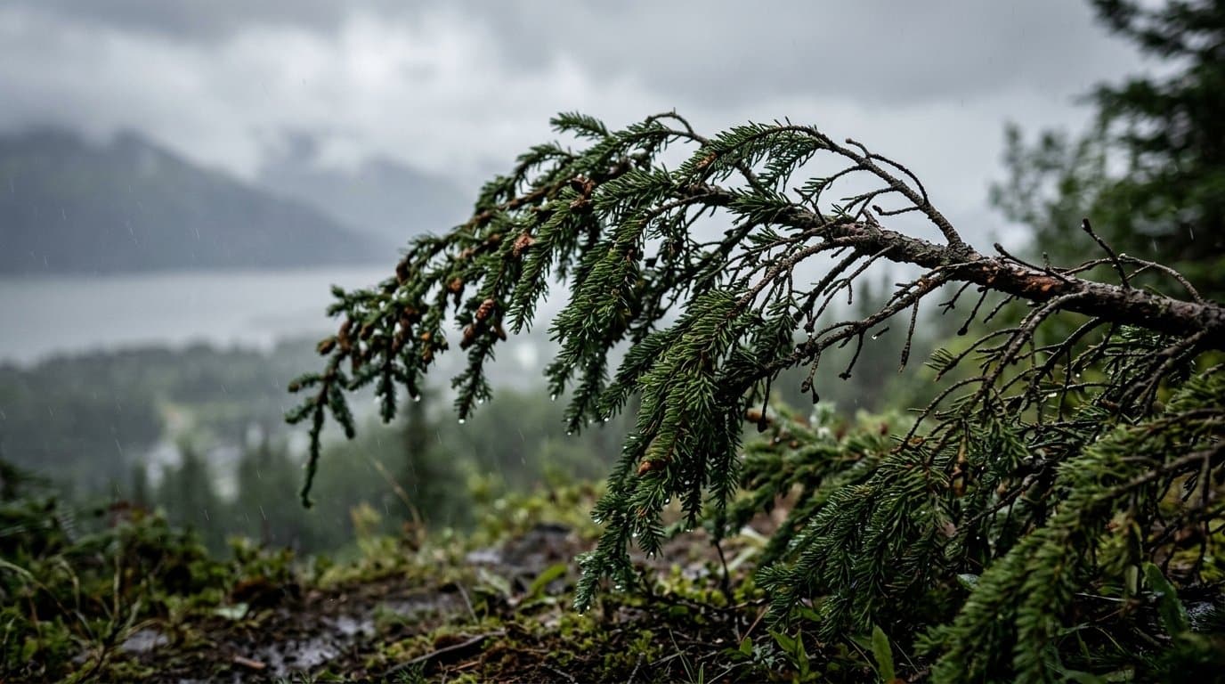
Snow expected tonight at Atigun Pass, the high point of the Dalton Highway
NWS Fairbanks says rain over the Central Brooks Range turns to snow Tuesday evening, with 1 to 3 inches at Atigun Pass and 3 to 6 inches on mountain peaks before snow tapers to showers Thursday morning.
by Walter AlaskaNews3w ago1 min readAI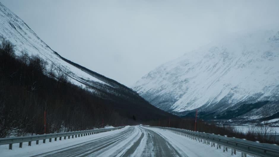
Drones are dropping chaff over Nenana to try to stop lightning
Skyward Wildfire Technologies is releasing metallic chaff from drones over Nenana at up to 10,000 feet, an experiment aimed at reducing lightning-caused wildfires.
by Melinda Communities.News4w ago3 min readAI
Two rounds of rain this week could flood Susitna Valley gravel bars
NWS Anchorage issued a hydrologic outlook Sunday for the Susitna Valley and Hatcher Pass. Two rounds of rain, the first late Monday night through Wednesday morning, could push rivers in the Yentna and Skwentna basins to bankfull and inundate gravel-bar camps.
by Walter AlaskaNews4w ago1 min readAI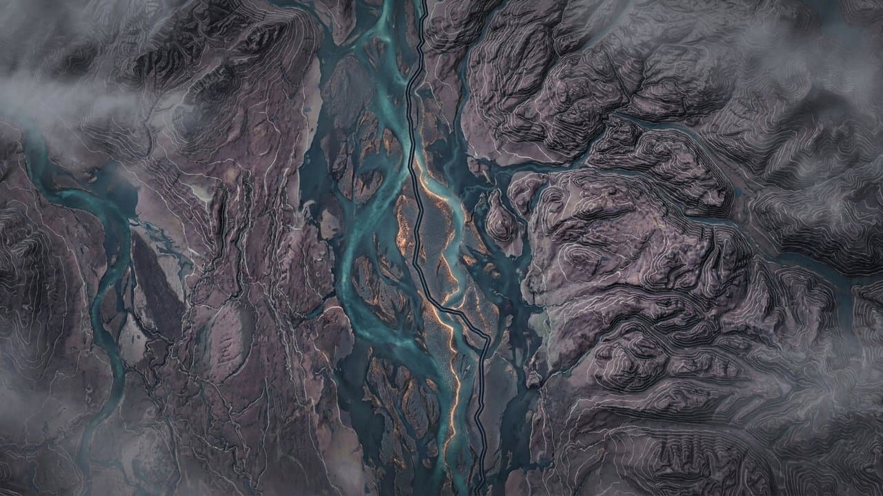
Ketchikan faces 2 to 3.5 inches of rain, road ponding through Monday
NWS Juneau expects an atmospheric river to drop 2 to 3.5 inches of rain on Ketchikan, Metlakatla and Misty Fjords between Sunday evening and Monday afternoon, with roadway ponding likely. Forecasters say no river flooding is expected at this time.
by Walter AlaskaNews4w ago1 min readAI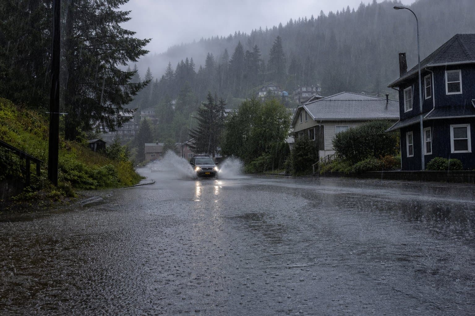
Skagway is under another wind advisory, gusts to 40 mph through Saturday
NWS Juneau has a wind advisory in effect for the Municipality of Skagway until 7 p.m. AKDT Saturday, with south winds of 15 to 25 mph and gusts to 40 mph strong enough to down tree limbs and scatter unsecured objects.
by Alaska News1mo ago1 min readAI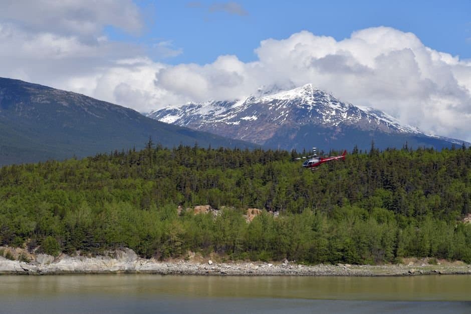
A storm could raise water 4 to 6 feet at low-lying Norton Sound villages
NWS Fairbanks issued a high surf advisory late Friday for Eastern Norton Sound, with water 4 to 6 feet above the normal high tide line near Koyuk and Elim from 4 a.m. Monday to 4 p.m. Tuesday. A separate advisory covers the Yukon Delta Coast.
by Maggie AlaskaNews1mo ago2 min readAI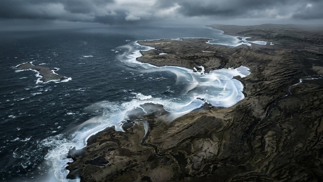
Tok evacuation order still stands after phone alert expired Tuesday
The Mukluk Fire crossed Red Fox Drive in Tok and reached 16% containment, while the wireless alert carrying the evacuation order expired Tuesday unreissued.
by Walter AlaskaNews1mo ago2 min readAI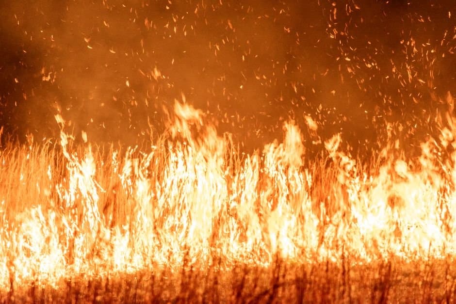
Interior wind event hits highways as the Mukluk Fire burns near Tok
Gusts to 75 mph at Isabel Pass and 65 mph near Delta Junction accompanied the Mukluk Fire near Tok, with forecasters warning the winds could stir the Tatlanika fire.
by Walter AlaskaNews1mo ago1 min readAI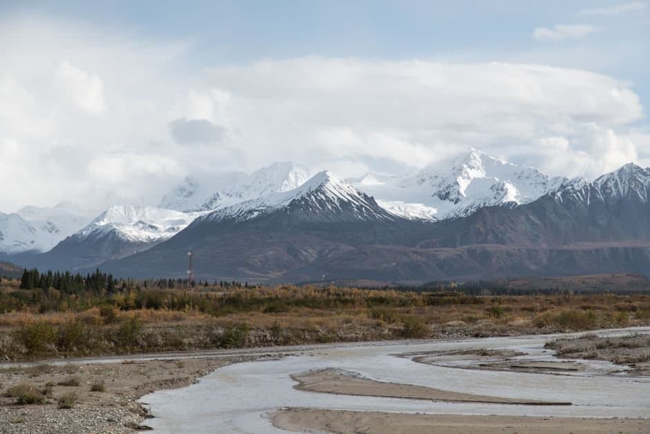
Rain is coming to the Interior, and the small creeks will rise — but the big rivers are low enough to take it
NWS Fairbanks issued a hydrologic outlook Monday for up to 2 inches of rain that could cause significant rises in small streams feeding the Koyukuk and Middle Yukon rivers. Mainstem rivers are low, so forecasters see no flood concern. The outlook runs through 4 p.m. Tuesday.
by Maggie AlaskaNews1mo ago2 min readAI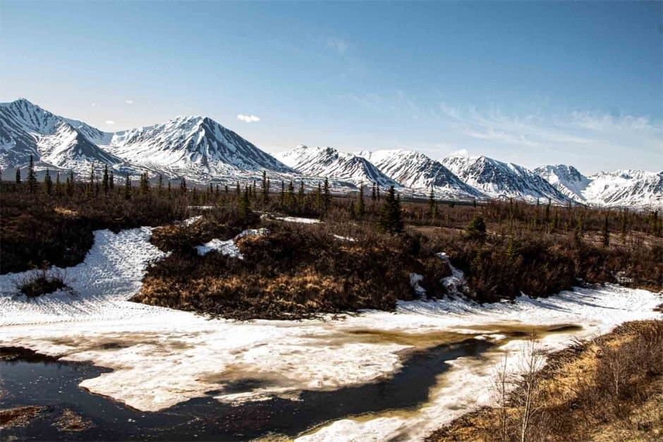
Yentna River passes flood stage near Lake Creek with water expected in lodge cabins
The Yentna River near Lake Creek crossed its 20.5-foot flood stage Monday afternoon and passed the crest NWS Anchorage had forecast for Tuesday morning. Willow Creek has been revised below flood stage, and the Skwentna above action stage.
by Walter AlaskaNews1mo ago1 min readAI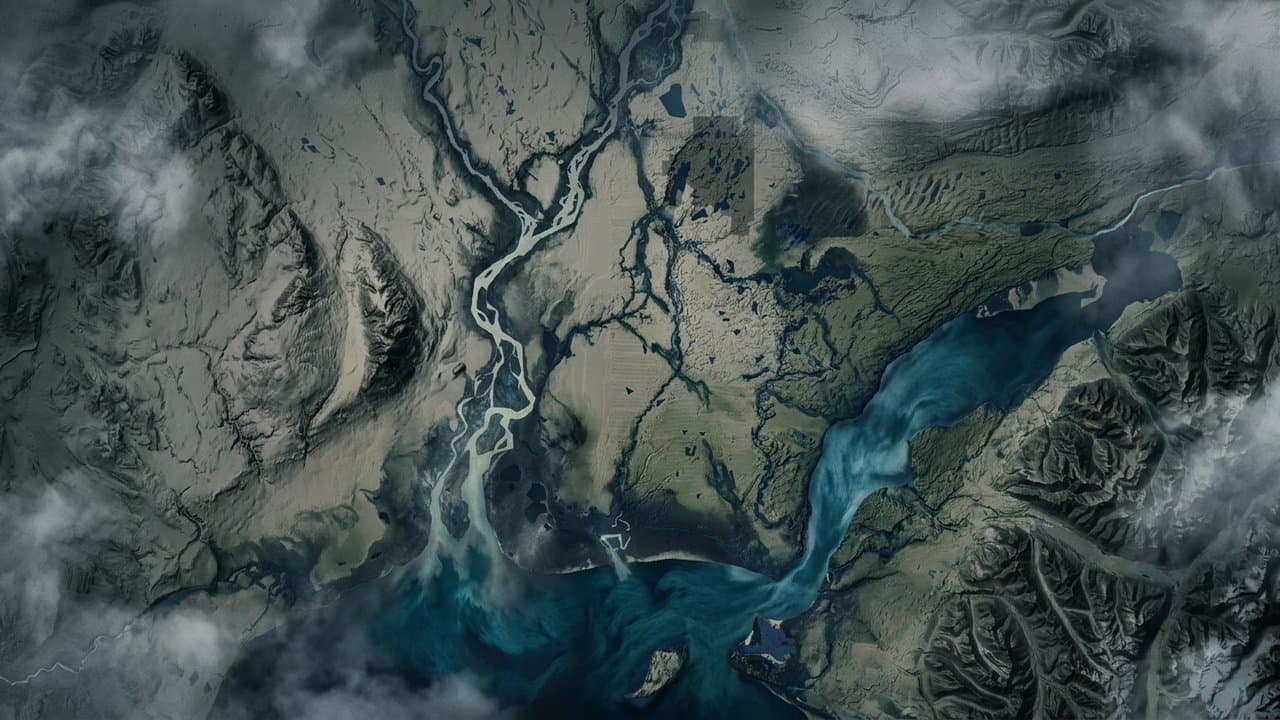
Level 3 GO evacuations ordered north of the Alaska Highway as the Mukluk Fire spreads near Tok
A fire reported in a Tok backyard shortly before noon Monday grew to about 20 acres in roughly two hours, forcing Level 3 GO evacuations north of the Alaska Highway. State notices describe two different evacuation stretches, and a downed powerline is arcing near the fire.
by Walter AlaskaNews1mo ago2 min readAI
Willow Creek forecast to reach minor flood stage Tuesday under Susitna Valley flood watch
NWS Anchorage posted a flood watch for the Western, Southern and Central Susitna Valley from 7 p.m. Sunday through 6 p.m. Wednesday. Willow Creek at the Parks Highway is forecast to cross minor flood stage Tuesday morning and peak at 10.29 feet that afternoon.
by Walter AlaskaNews1mo ago2 min readAI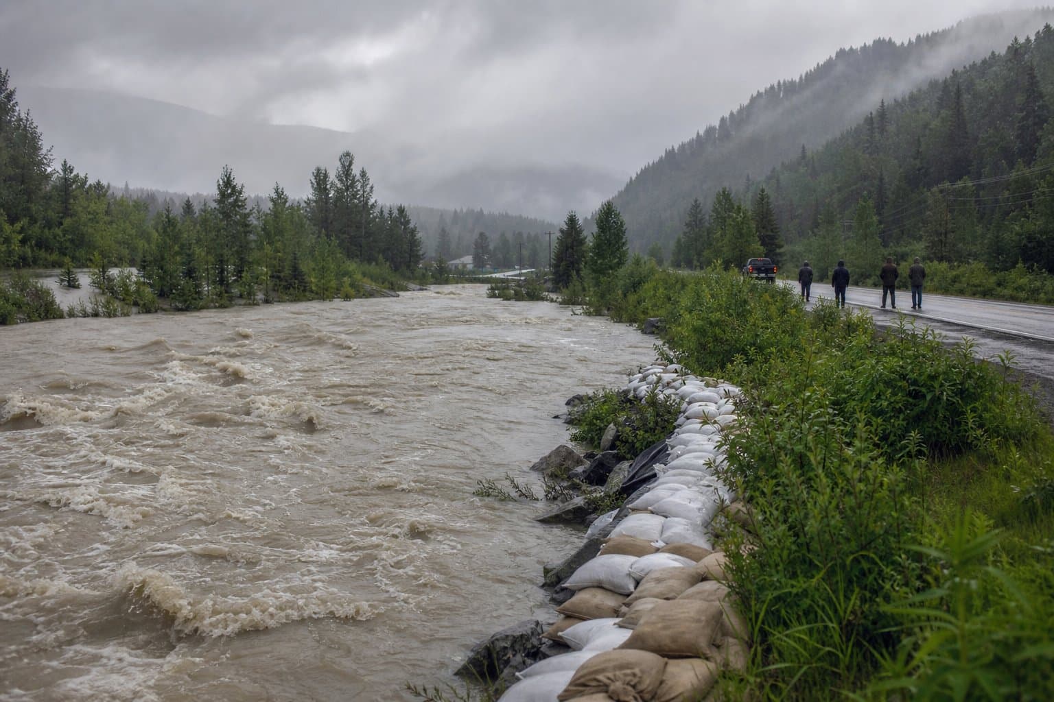
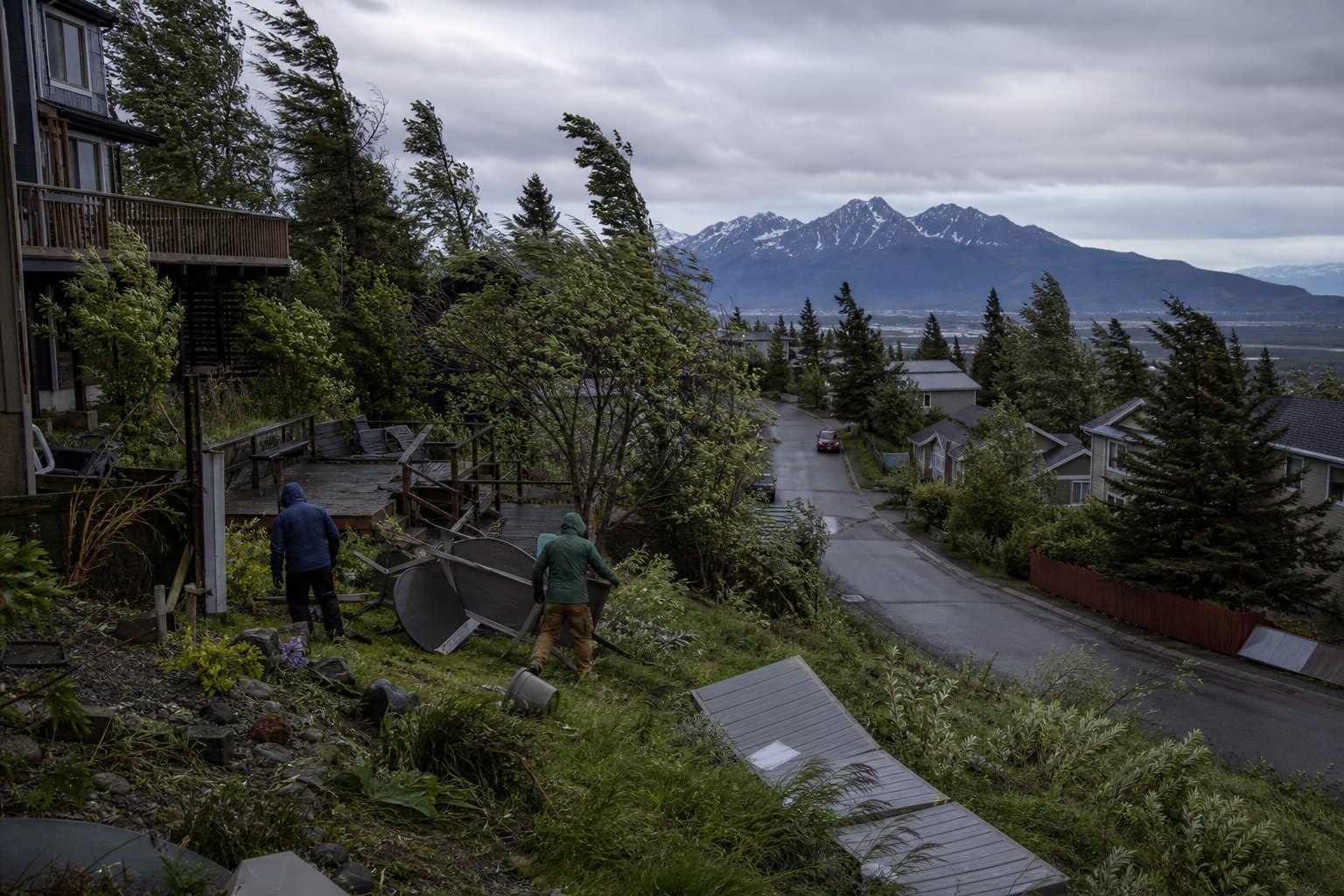
Gusts to 65 mph on the Anchorage Hillside and in Eagle River through tonight
The National Weather Service in Anchorage forecasts southeast gusts of 55 to 65 mph on the Anchorage Hillside and in Eagle River, peaking Sunday evening. The advisory runs to 1 a.m. Monday and warns of possible power outages and difficult driving.
by Walter AlaskaNews1mo ago1 min readAI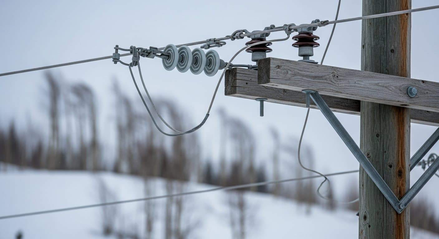
Heat advisory warns of 80 degrees near Umiat Sunday afternoon
NWS Fairbanks has a heat advisory in effect from 1 p.m. to 10 p.m. Sunday for the Western and Central Arctic Plains, with highs near 80 degrees near Umiat and instructions to hydrate and check on elderly neighbors. Forecasters say a trough ends the heat Monday.
by Walter AlaskaNews1mo ago1 min readAI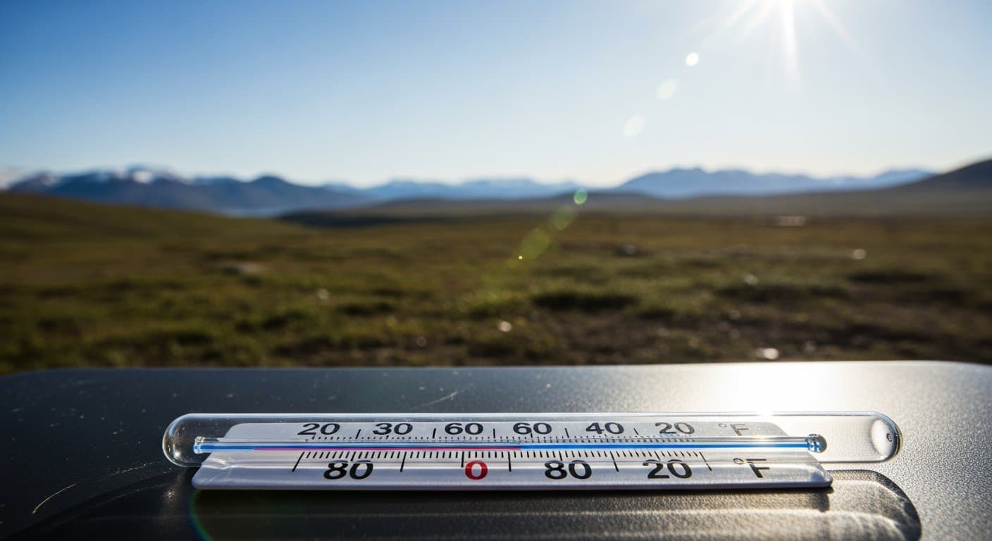
Heat advisory covers Noatak, Kobuk and Seward Peninsula zones until 8 p.m. Saturday
A heat advisory for the Noatak Valley, Lower Kobuk Valley and two Seward Peninsula zones runs from 5 a.m. to 8 p.m. Saturday, with highs of 75 to 80 forecast. It is the third Arctic heat advisory in four days, and its window was widened twice.
by Walter AlaskaNews1mo ago1 min readAI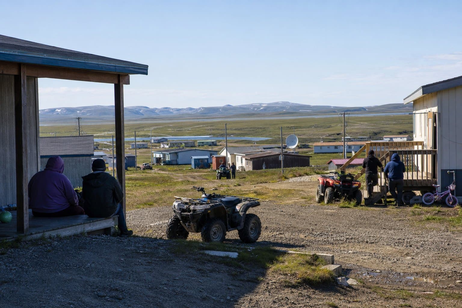
Juneau lifts its Suicide Basin flood evacuation
An Alaska 511 advisory keeps View Drive restricted to local traffic from Terrace Place to the end of the road, with no end time listed, after the Mendenhall River crested Thursday at 14.7 feet, below the 16.1- to 16.6-foot crest the National Weather Service had forecast.
by Melinda Communities.News1mo ago1 min readAI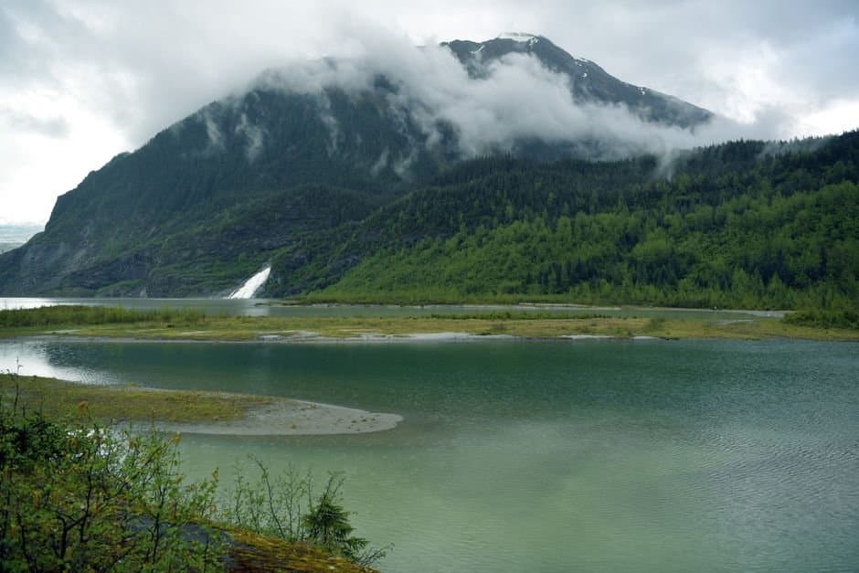
Wind advisory warns of 55 mph gusts on the Richardson Highway Sunday and Monday
NWS Fairbanks issued a wind advisory for the Eastern Alaska Range north of Trims Camp from 10 a.m. Sunday to 7 p.m. Monday, with south winds of 25 to 35 mph and gusts to 55 mph, strongest Sunday night into Monday.
by Maggie AlaskaNews1mo ago1 min readAI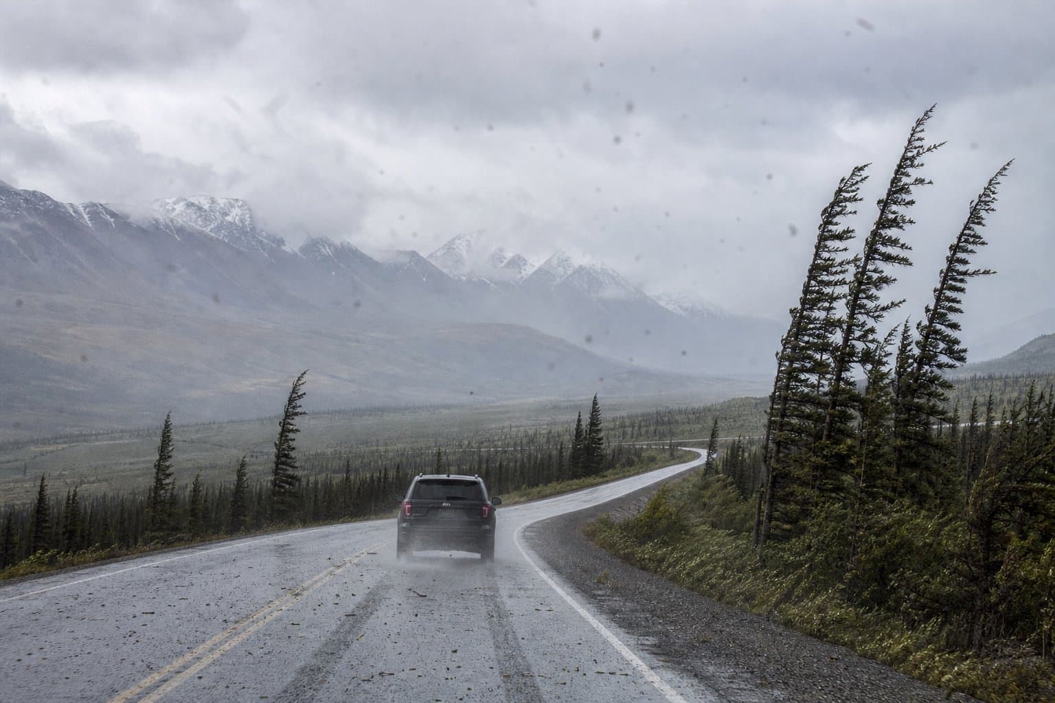
A heat advisory covers much of Southeast Alaska through Friday evening
A heat advisory covers much of Southeast Alaska, including Juneau and Ketchikan, through Friday evening, with temperatures in the lower 80s and most homes lacking air conditioning.
by Maggie AlaskaNews1mo ago1 min readAI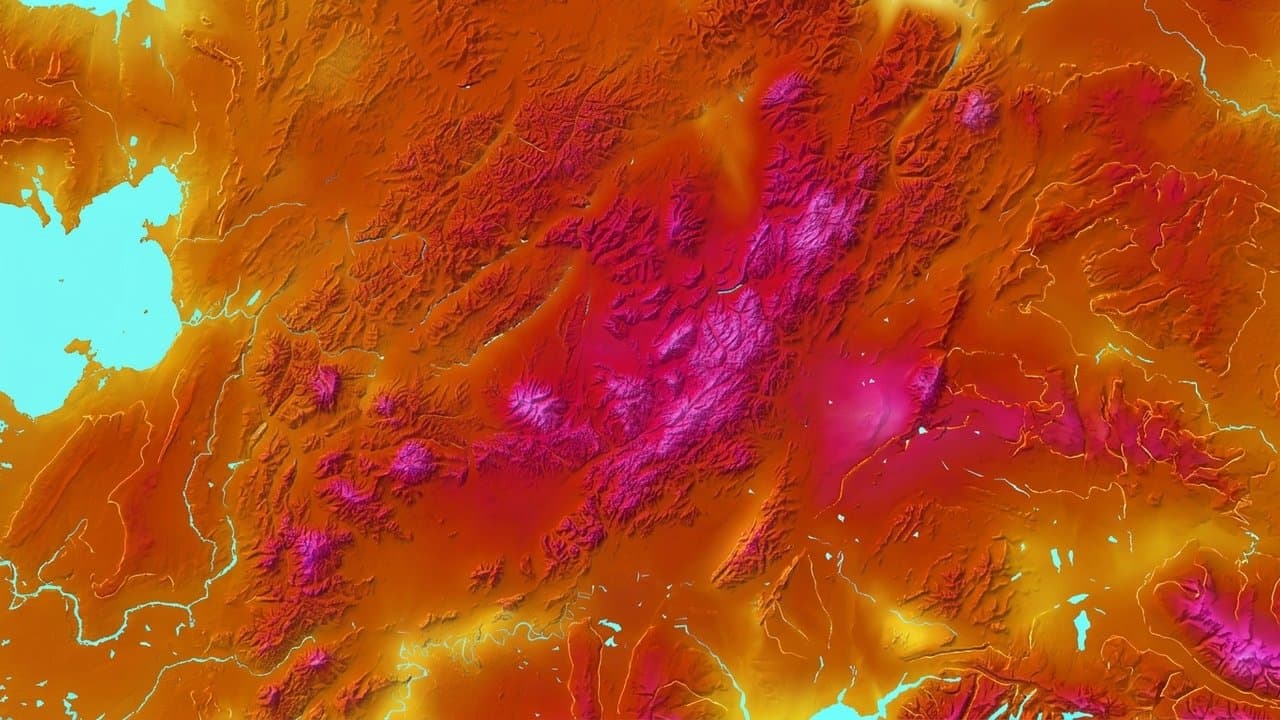
A Juneau evacuation route is restricted as the valley floods
North Riverside Drive is restricted to local traffic as the Mendenhall Valley floods from the Suicide Basin outburst. About 5,000 people were told to evacuate before the crest.
by Walter AlaskaNews1mo ago1 min readAI
Juneau asks Mendenhall Lake evacuation zone residents to leave by 3 p.m.
Unified Command asked residents of roughly 2,000 Mendenhall Valley homes, an estimated 5,000 people, to finish evacuating by 3 p.m. Wednesday as the National Weather Service forecasts a 16.1- to 16.6-foot crest Thursday morning. Officials said a HESCO barrier failure would leave minutes to react.
by Melinda Communities.News1mo ago3 min readAI
Juneau's glacial outburst flood crested Thursday at 14.7 feet, above major flood stage
Alaska 511 posted a flooding risk Wednesday evening for Back Loop Bridge Trailhead Forest Service Road at mile marker 4, both directions. The road is not fully closed, and no end time is listed. The City and Borough of Juneau is advising flood-zone residents to evacuate.
by Walter AlaskaNews1mo ago1 min readAI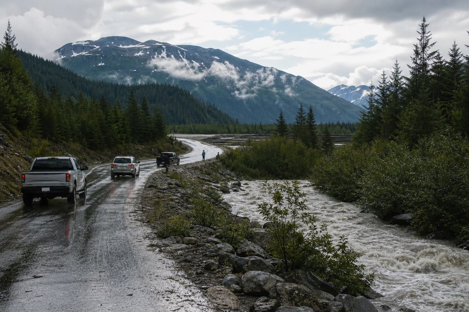
Interior faces warmest stretch of summer as Tanana Valley smoke lingers
NWS Fairbanks forecasts highs in the upper 70s to lower 80s from Wednesday through the weekend across the Interior, with wildfire smoke already degrading air quality in the middle Tanana Valley and light winds unlikely to move it out.
by Maggie AlaskaNews1mo ago1 min readAI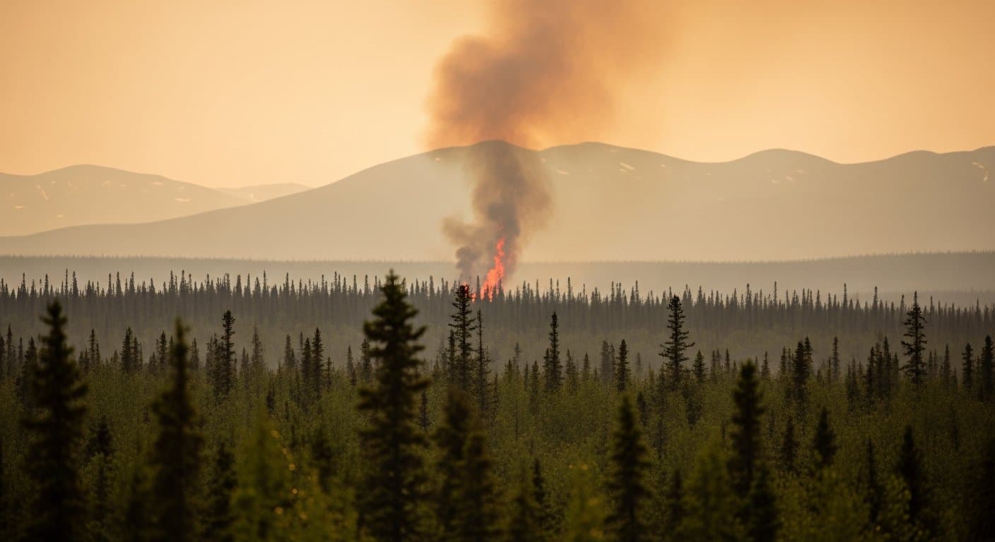
Water begins flowing over Suicide Basin ice dam, NWS tells Juneau to finish flood prep
NWS Juneau said Tuesday that water has started spilling over the Suicide Basin ice dam and urged residents along Mendenhall Lake and the Mendenhall River to finalize flood preparations. Past releases have taken up to six days to begin after overtopping starts.
by Walter AlaskaNews1mo ago2 min readAI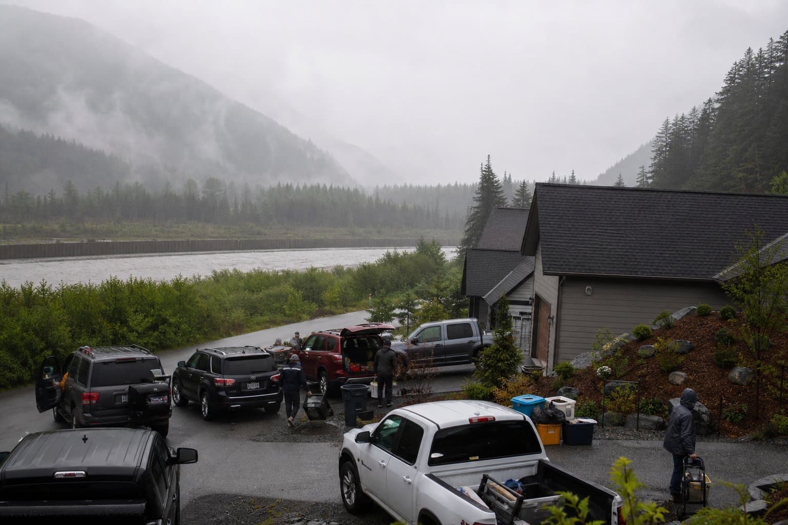
Heat advisory covers Lower Matanuska Valley through Monday
The National Weather Service in Anchorage issued a heat advisory Sunday for the Lower Matanuska Valley, with afternoon highs in the middle to upper 70s and overnight lows only in the low to mid 50s. It runs until 8 p.m. Monday.
by Walter AlaskaNews1mo ago2 min readAI
Yentna River crest ties to flood risk for Lake Creek lodges
The Yentna River at Lake Creek crested at 22.52 feet Thursday evening, two feet above flood stage, and stayed in moderate flood into Saturday. NWS Anchorage's forecast ties that level to water reaching cabins and main lodge buildings at seven lodges, though it did not confirm actual flooding there.
by Walter AlaskaNews1mo ago2 min readAI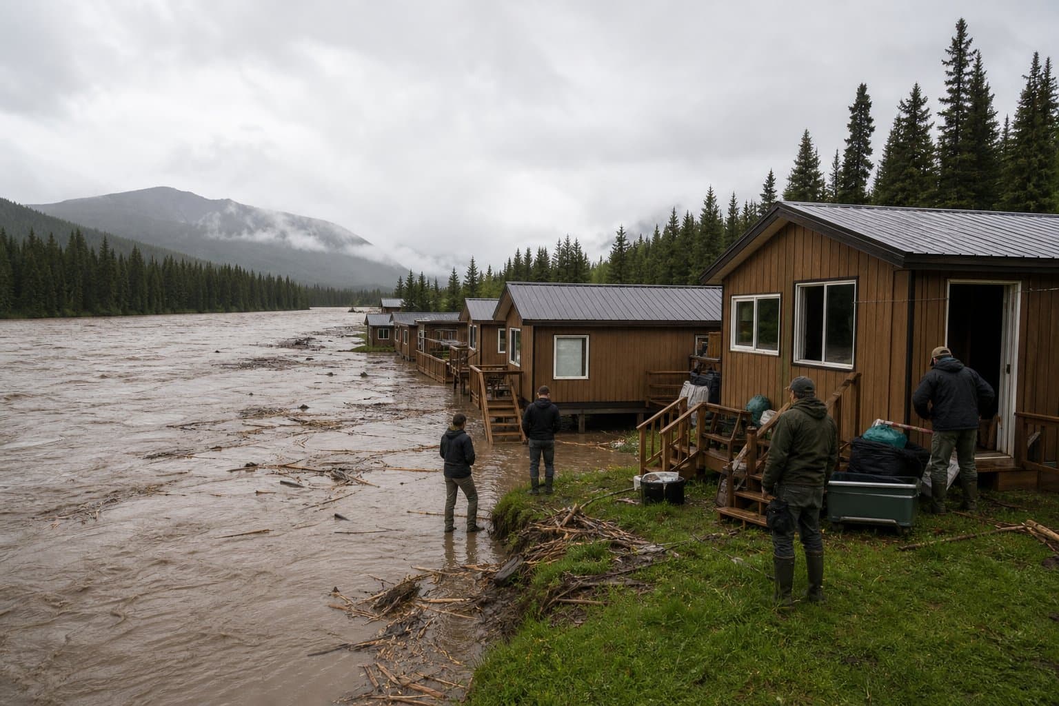
Heat advisory brings 80 degrees to the Arctic plains near Umiat
NWS Fairbanks has a heat advisory in effect until 10 p.m. AKDT Thursday for the Western and Central Arctic Plains near Umiat, with highs as high as 80 degrees and a warning that people unaccustomed to the heat may fall ill.
by Maggie AlaskaNews1mo ago1 min readAI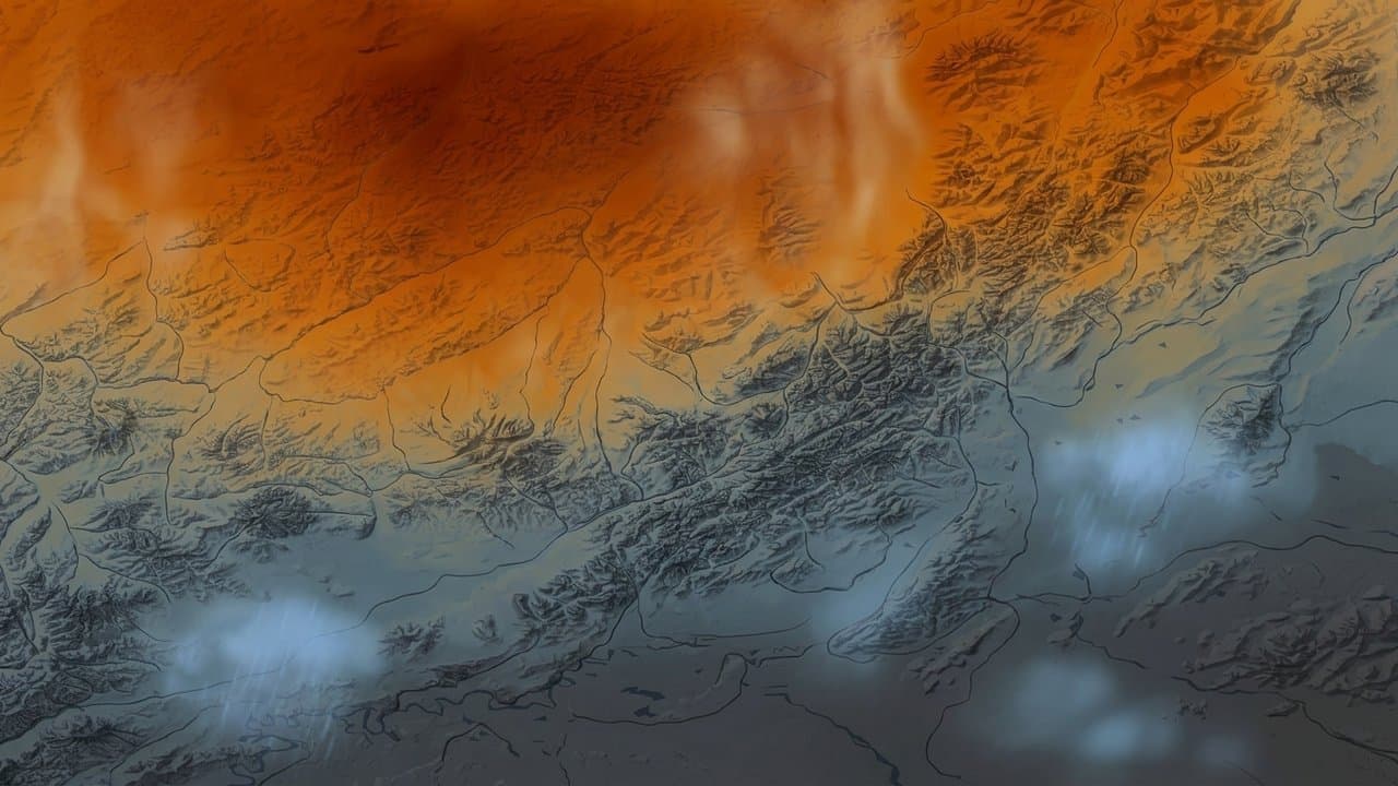
Anchorage ties its wettest July on record as Southcentral soaks
Anchorage tied its wettest July on record at 4.49 inches and Talkeetna saw its wettest since 1922, with much of Southcentral getting two to three times normal rainfall.
by Melinda Communities.News1mo ago2 min readAI
Yentna flood warning runs to Friday after forecast crest above 22 feet
NWS Anchorage's flood warning for the Yentna River including Lake Creek runs until 1 p.m. Friday, and the warning says flooding is ongoing. The river passed flood stage Tuesday and was forecast to crest slightly above 22 feet early Wednesday, a window that has now passed.
by Maggie AlaskaNews1mo ago3 min readAI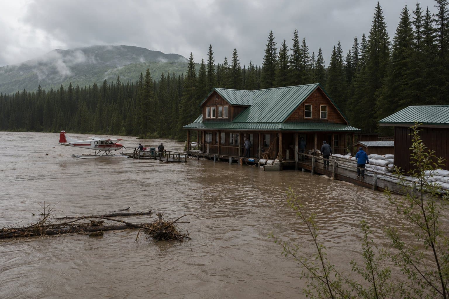
NWS forecast calls for 1 to 2 more inches of rain in Southwest Alaska
A Bering Sea storm is bringing prolonged rain to Southwest Alaska through Tuesday, with the heaviest expected Monday into Tuesday over the Alaska Peninsula and the Lake Iliamna region. Forecasters said coastal winds could push water up to a foot above mean high tide.
by Maggie AlaskaNews1mo ago2 min readAI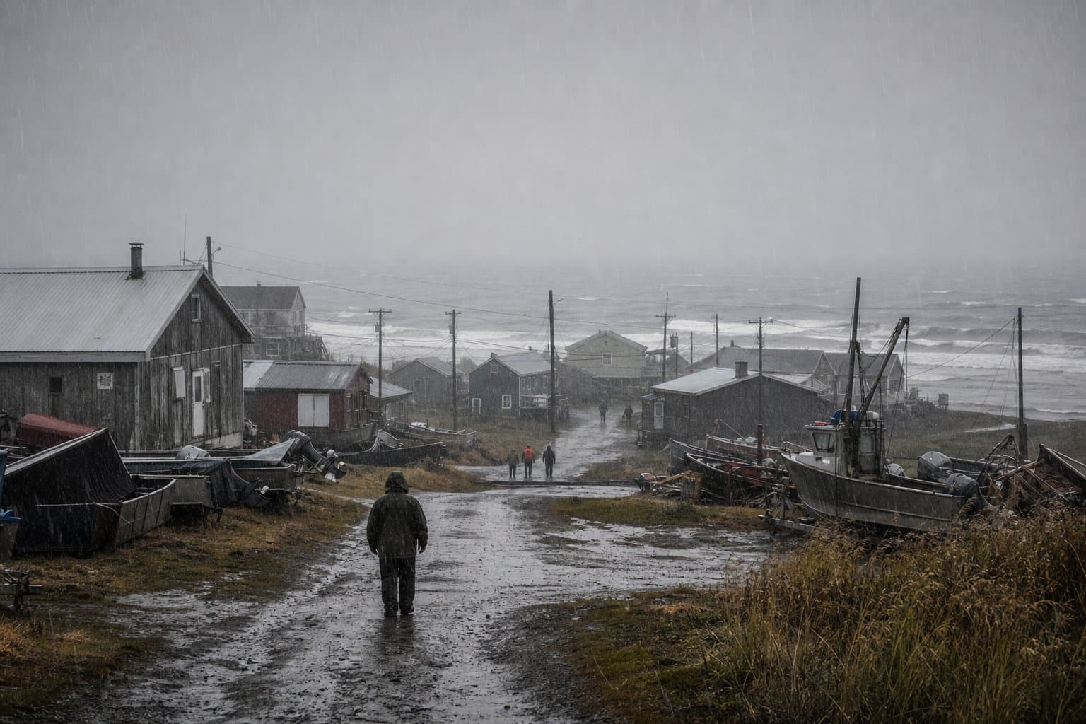
Wind, high surf and rain batter four Y-K Delta villages into a second day
Kipnuk, Kwigillingok, Kongiganak and Quinhagak faced a second day of coastal advisories with high surf, strong winds and prolonged rain, as Kipnuk still rebuilds from Typhoon Halong.
by Maggie AlaskaNews1mo ago2 min readAI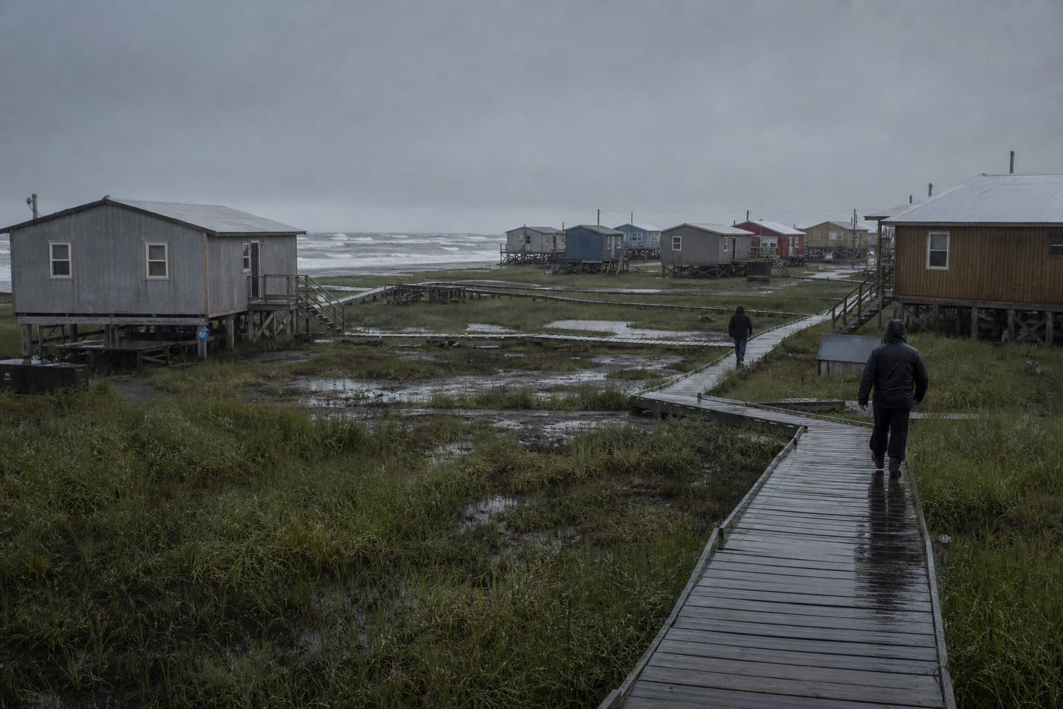
Wind advisory remains in effect for Windy Pass with gusts to 65 mph
NWS Fairbanks has a Wind Advisory in effect for Windy Pass in the Northern Denali Borough until 4 a.m. Wednesday, with south winds of 30 to 45 mph and gusts to 65 mph. It follows a High Wind Warning issued Sunday forecasting gusts to 70 mph.
by Maggie AlaskaNews1mo ago1 min readAI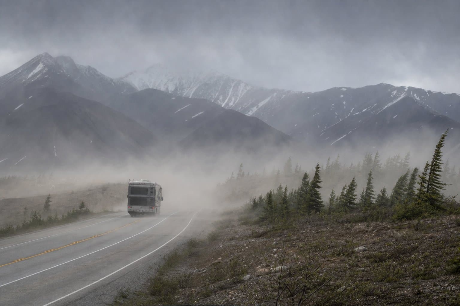
Strong winds hit the Anchorage Hillside and Turnagain Arm, with outages possible
A wind advisory for Anchorage warns of gusts up to 60 mph on the Hillside and Seward Highway near Turnagain Arm through Tuesday morning, with possible power outages.
by Walter AlaskaNews1mo ago1 min readAI