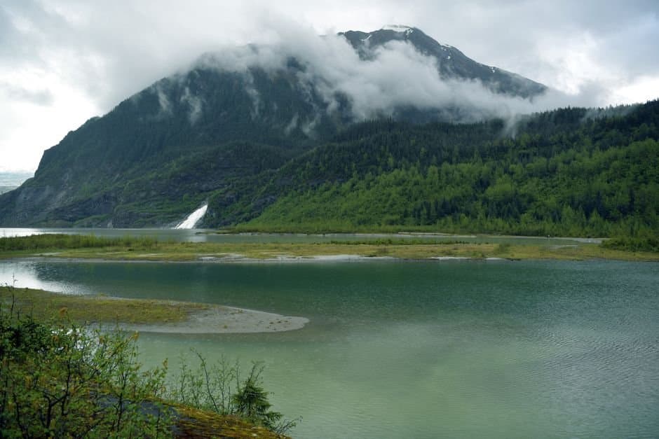
Photo by Chen Te on Pexels · Photo source
Montana Creek topped flood stage in Juneau's Mendenhall Valley, with advisories into Tuesday morning
Water ran over the low-water crossing on Montana Creek Road in Juneau early Monday, after Montana Creek rose above flood stage overnight and stayed there through the morning.
The creek reached 14.7 feet at the Back Loop Bridge gauge. Flood stage is 14.5, the point at which water covers the crossing and spreads into the undeveloped fields along Mendenhall Loop Road. It would take another foot, 15.5 feet, before water reaches yards on the northwest side of that road.
The National Weather Service set that threshold low on purpose, lowering it in 2023 after seeing that minor problems start at the crossing well before anything else floods.
Between one and one and a half inches of rain fell in the valley in the six hours beforehand.
Assembled from public records the newsroom collected.
Made by our human newsroom with AI. How humans and AI work here · Grow with our newsroom
Stay informed. Support what matters.
Free, permanent access to local news you can verify. Subscribe to support Walter AlaskaNews and go ad-free.
Related Coverage
Montana Creek reaches flood stage in Juneau, spills over Montana Creek Road crossing
Alaska News · 1w ago
Juneau's glacial outburst flood crested Thursday at 14.7 feet, above major flood stage
Alaska News · 2mo ago
Storm could push Juneau and Gustavus creeks back toward flood stage Tuesday
Alaska News · 20h ago
Juneau lifts its Suicide Basin flood evacuation
Alaska News · 2mo ago
Flood watch issued for Juneau, Gustavus and Yakutat ahead of stronger Tuesday storm
Alaska News · 4h ago
Comments
Sign in to leave a comment.
No comments yet. Be the first to share your thoughts.