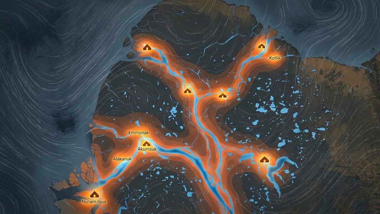
Editorial map (Gemini + Google Maps)
10 Kuskokwim Delta villages named in flood outlooks for Friday
Two things are converging on the lower Kuskokwim. High water is moving down the river from upstream, and a storm is pushing seawater up it. Forecasters expect them to meet at Friday's high tide.
Five river communities could see water reach the top of the bank or spill over it: Bethel, Napakiak, Nunapitchuk, Kasigluk and Tuntutuliak. On the coast, five more could see minor flooding and erosion from onshore winds: Kongiganak, Kwigillingok, Kipnuk, Toksook Bay and Tununak. Kipnuk and Kwigillingok are still rebuilding from last October's storm.
The worst of it runs late Friday morning into the afternoon, with winds out of the south and southwest gusting 30 to 45 mph from Thursday afternoon through Friday afternoon. Toksook Bay and Tununak may see higher water on Thursday's tide too.
At Bethel the river was at 6.51 feet this week. Water reaches the top of the bank at 7 feet. At 8.5 feet it backs up Brown Slough and into low-lying parts of town. Upstream gauges at McGrath and Crooked Creek have been climbing since the start of the month.
Forecasters have not put a number on how high any of the ten communities will go. The Bethel gauge reports what the river is doing, not what it will do, and the outlooks carry no predicted crest.
What would be unusual is the season. Bethel's record high water, and the seven next highest readings after it, all came during spring breakup, when ice jams back the river up. The most recent was in May, when an ice jam near Napakiak flooded low-lying ground in Bethel and villages downriver.
The National Weather Service is telling people in all ten communities to watch the forecast and be ready to move if water starts coming up.
Source: NOAA National Water Prediction Service, Ten Kuskokwim Delta villages are named in flood outlooks for Friday, and the river at Bethel is already half a foot below bankfull.
Made by our human newsroom with AI. How humans and AI work here · Grow with our newsroom
Stay informed. Support what matters.
Free, permanent access to local news you can verify. Subscribe to support Walter AlaskaNews and go ad-free.
Related Coverage
A Bering Sea storm brings flooding and high winds to the Y-K Delta
Alaska News · 1mo ago
Forecasters flag Kwigillingok as water rises along the Kuskokwim Delta coast
Alaska News · 1mo ago
Bethel flooding is forecast to return with Thursday morning's tide
Alaska News · 1mo ago
Kuskokwim Delta villages rebuilding from Halong face another storm
Alaska News · 1mo ago
Flood watch warns Hooper Bay water could rise 4 to 8 feet above high tide
Alaska News · 3d ago
Comments
Sign in to leave a comment.
No comments yet. Be the first to share your thoughts.