AI image
Water forecast 2 to 4 feet above normal high tide in Eastern Norton Sound
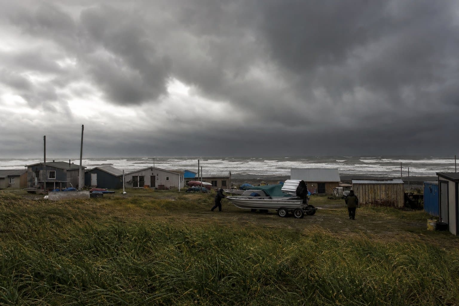
Water along Eastern Norton Sound is expected to run 2 to 4 feet above the normal high tide line from late Thursday into Saturday morning, with beach erosion likely and rain and wind making travel hard at times.
The National Weather Service in Fairbanks issued the statement Wednesday. Farther west, along the Southern Seward Peninsula coast east of Nome and the Yukon Delta coast, water should run 1 to 2 feet high over the same stretch.
A warm front off a strong Bering Sea low is pushing into Western Alaska. As winds shift from the east and southeast around to the south and southwest on Thursday, they will start pushing water toward shore. Gusts should peak at 30 to 50 mph Thursday, with half an inch to an inch and a quarter of rain through Thursday night. The wind eases Friday and Saturday but keeps blowing onshore. Forecasters say the exact water heights are uncertain.
Farther south, water along the Kuskokwim Delta coast and Nunivak Island should run 1 to 2 feet above normal high tide from late Wednesday into Thursday, with gusts to 40 mph. Kwigillingok is at higher risk because of the way its shoreline faces the wind. St. Lawrence Island can expect an inch to an inch and a half of rain and gusts to 55 mph.
This follows a rough stretch. In late August, water near Koyuk and Elim ran 4 to 6 feet above the normal high tide line. The Association of Village Council Presidents wrote on Aug. 26 that "Western Alaska has been hit by hurricane-force winds, ravaging storm surges and floodwaters that swept homes away and displaced communities."
The USDA Northwest Climate Hub has tied accelerating erosion and storm surge risk in Kuskokwim River communities to declining sea ice.
Source: National Weather Service.
Made by our human newsroom with AI. How humans and AI work here · Grow with our newsroom
Stay informed. Support what matters.
Free, permanent access to local news you can verify. Subscribe to support Maggie AlaskaNews and go ad-free.
Related Coverage
A storm could raise water 4 to 6 feet at low-lying Norton Sound villages
Alaska News · 1mo ago
Storm to raise water up to 5 feet above the tide line, Golovin to Wainwright
Alaska News · 1mo ago
High surf and minor flooding for Alaska's west coast through Thursday
Alaska News · 2mo ago
NWS forecasts water 5 feet above high tide at Golovin through Friday
Alaska News · 1mo ago
Forecasters flag Kwigillingok as water rises along the Kuskokwim Delta coast
Alaska News · 1mo ago
Comments
Sign in to leave a comment.
No comments yet. Be the first to share your thoughts.