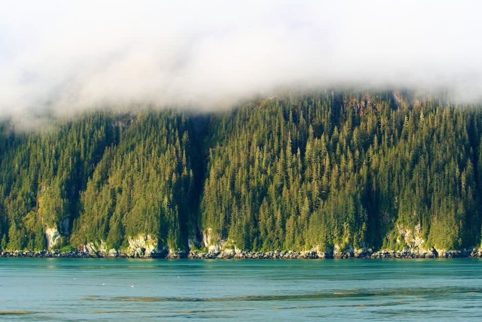
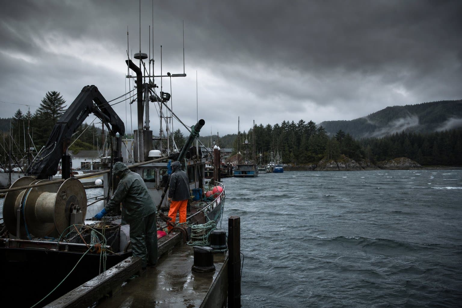
AI image
Ketchikan faces 2 to 3.5 inches of rain, road ponding through Monday
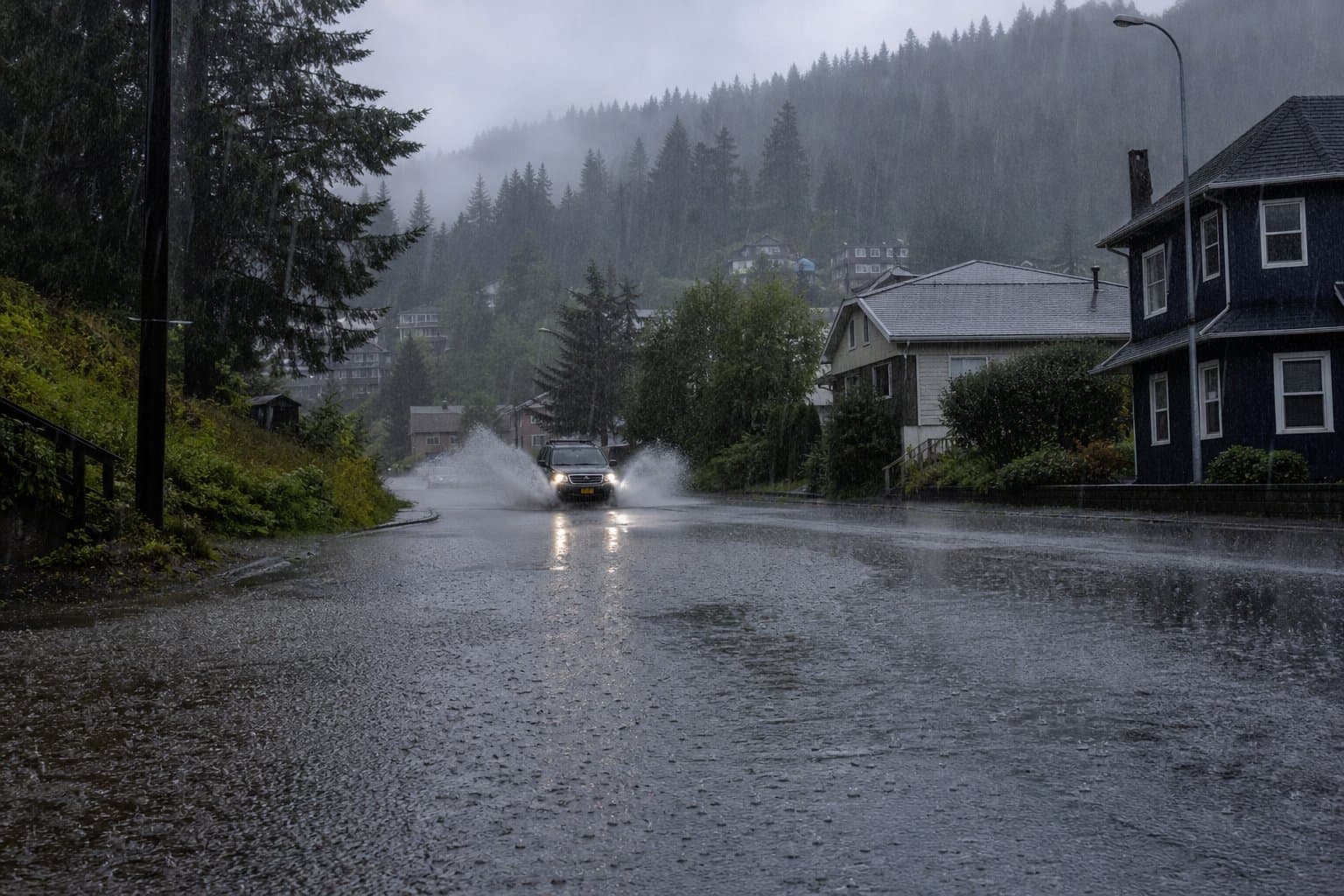
Drivers in the Ketchikan area should expect standing water on roads overnight into Monday as an atmospheric river crosses the southern panhandle, with rainfall that could reach 2 to 3.5 inches by Monday afternoon, the National Weather Service in Juneau said Sunday.
The heaviest rain is expected after 4 pm Sunday through early Monday, with rates near 0.3 inches per hour over Ketchikan, Metlakatla and Misty Fjords, which is expected to see the highest totals. Isolated spots could reach 4 inches. Small streams and rivers may rise, but forecasters said no river flooding is expected.
Mariners face a separate hazard. A small craft advisory runs until 7 am Monday for Clarence Strait, where the forecast calls for southeast wind to 25 knots, gusts to 35 and seas building to 8 feet — conditions the Weather Service called hazardous to small craft. Pilots should expect visibility as low as 2 to 3 miles and ceilings down to 500 to 1,000 feet around Ketchikan, Misty Fjords and Annette Island overnight.
Aaron Jacobs, senior service hydrologist at NWS Juneau, has written that the region's coastal watersheds are adapted to near-constant rain, and that serious flooding comes when rain "lasts for an unusually long time."
What did you make of this story? (no account needed)
Made by our human newsroom with AI. How humans and AI work here · Grow with our newsroom ·
Keep Alaska News free for everyone.
No paywall, ever. Members pay so everyone can read the meetings and records Alaska News covers.
Get Alaska News in your inbox
Create your free account and get the day’s top stories around 6 each morning, in a few minutes’ read.
Top stories, around 6 each morning.
Stories on what you follow, on Sundays.
Source: National Weather Service.









Comments
Sign in to leave a comment.
No comments yet. Be the first to share your thoughts.