Weather
RSSWeather in Alaska is the short-term conditions and forecasts tracked by the National Weather Service across the state. It covers storms, high winds, snow, flooding, high surf and dense fog that prompt advisories, watches and warnings for Alaska communities.
Places and organizations in this news
Numbers are stories in the last 30 days.
Have a story about Weather? Send a tip
Week of Sep 14
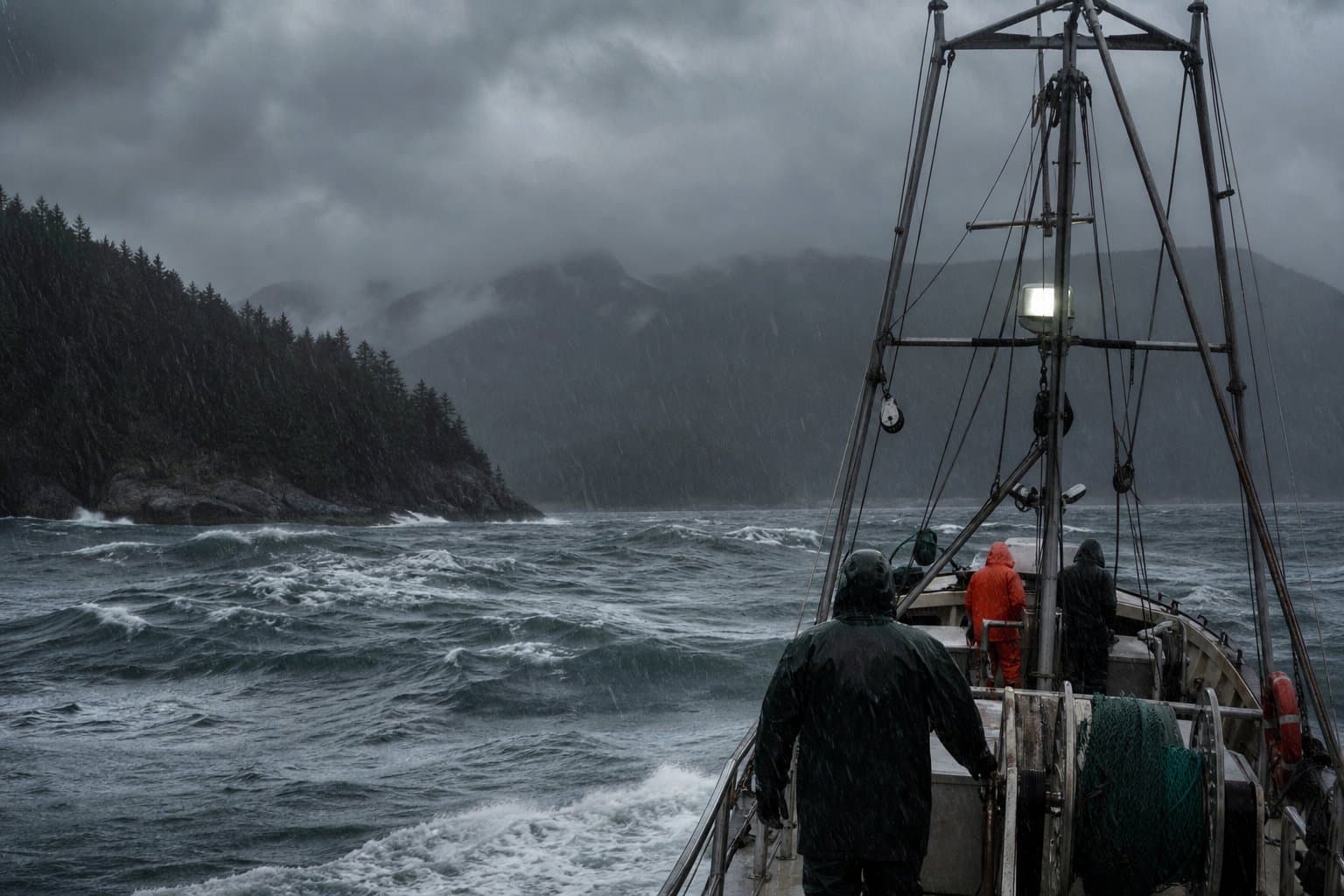
Heavy rain and near-60 mph gusts hit Southeast Alaska this weekend
A Pacific storm hits Southeast Alaska this weekend with heavy rain and gusts near 60 mph, raising streams fast but not, forecasters say, to flood.
 by Walter AlaskaNews1mo ago1 min read
Bethel flooding is forecast to return with Thursday morning's tide
The Kuskokwim River pushed water into low-lying Bethel this week and is expected to rise again Thursday, as onshore winds hold it back from draining.
by Walter AlaskaNews1mo ago1 min read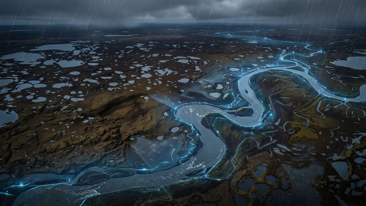
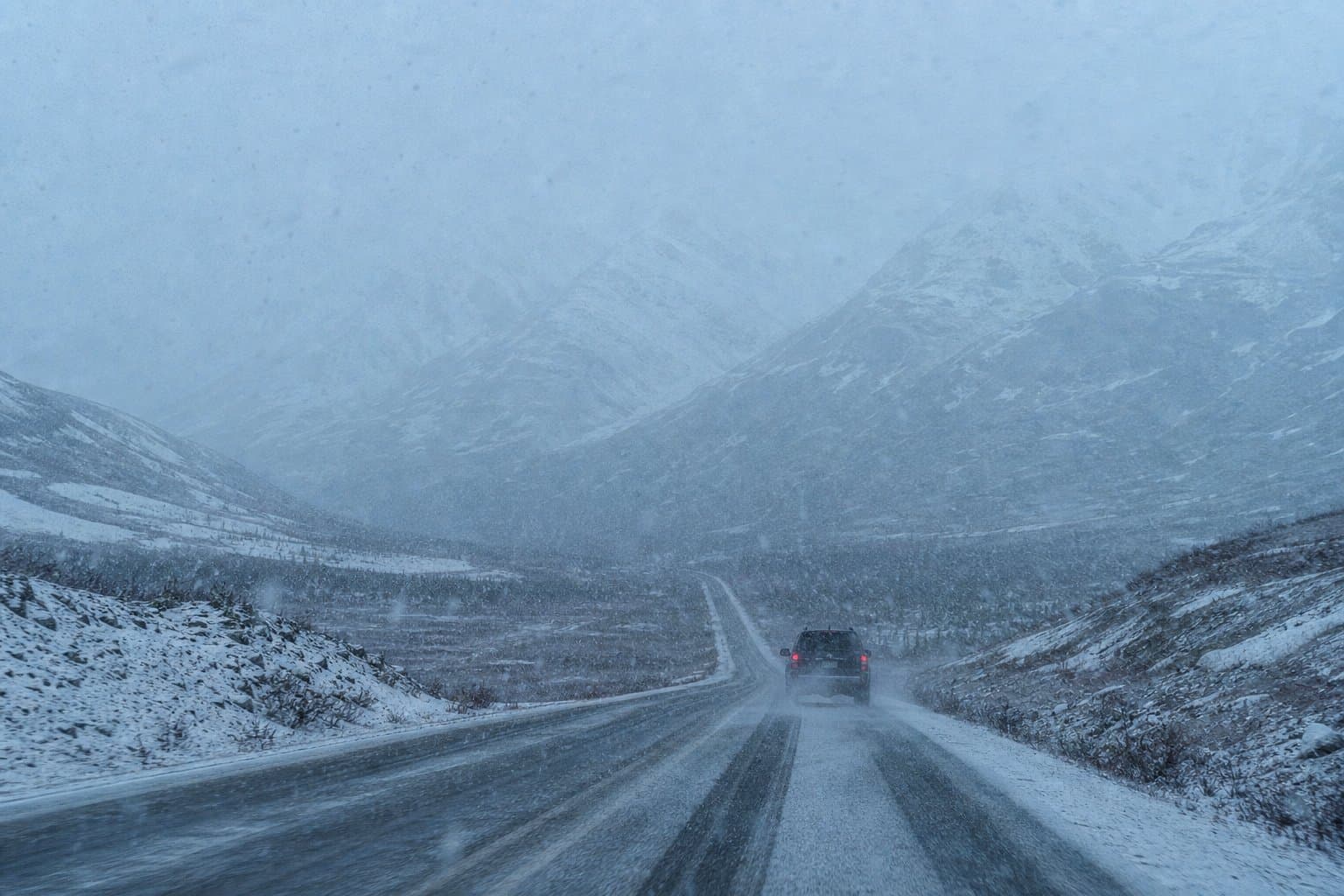
Ice risk on the Dalton Highway and Arctic Coast until noon
Freezing rain and snow could make roads slippery on the Beaufort Sea Coast and Arctic Plains through noon Wednesday, National Weather Service warns.
 by Maggie AlaskaNews1mo ago1 min read
Dense fog cuts Annette Island visibility to a quarter mile
Dense fog has visibility down to a quarter mile on Annette Island through Wednesday morning, the third such advisory in the southern panhandle in a day.
by Walter AlaskaNews1mo ago1 min read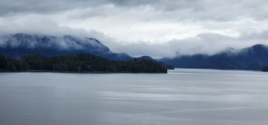
Suicide Basin levels drop, signaling a possible new release above Mendenhall
Suicide Basin's water level dropped sharply Tuesday, possibly signaling another release. Nothing is flooding, and secondary releases run far smaller.
by Walter AlaskaNews1mo ago2 min read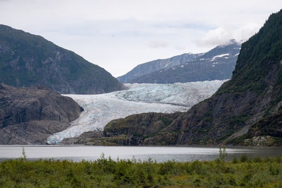
A Bering Sea storm brings flooding and high winds to the Y-K Delta
A Bering Sea storm is bringing coastal flooding and damaging winds to the Yukon-Kuskokwim Delta, including Kipnuk, still rebuilding from last year's typhoon.
by Maggie AlaskaNews1mo ago1 min read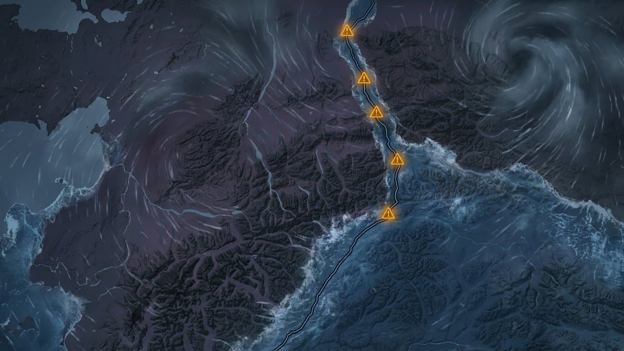
Flood watch warns Chena and Little Chena could top minor flood stage Wednesday
Half an inch to an inch of rain is landing on ground that is already soaked. The Little Chena is the river for Fairbanks to keep an eye on now.
by Maggie AlaskaNews1mo ago2 min read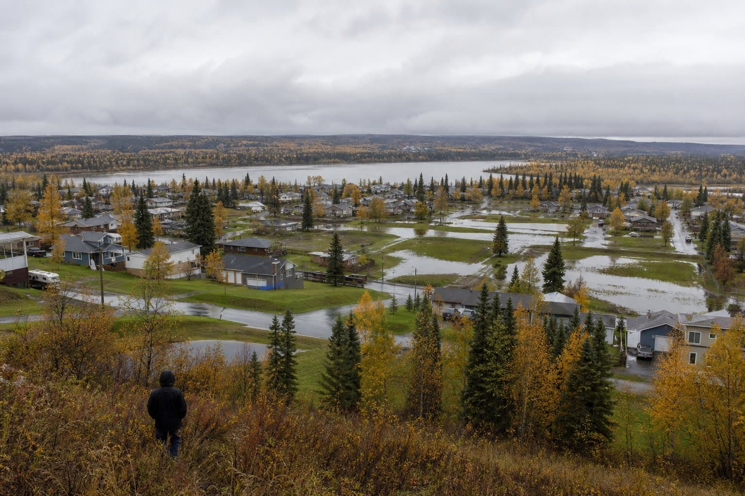
Fairbanks dense fog advisory expired at noon after visibility fell to 100 yards
Fog in Fairbanks got thick enough Monday that you could see about a hundred yards, and it did that an hour after the advisory was supposed to end.
by Maggie AlaskaNews1mo ago1 min read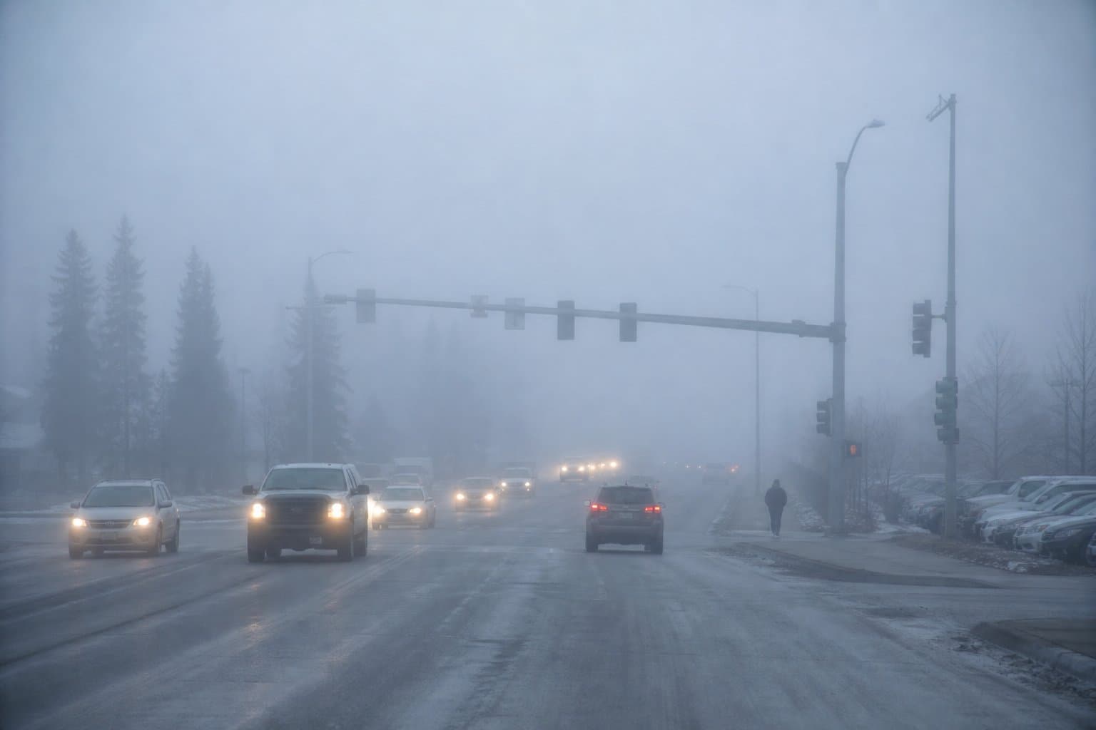
More from Weather
Wind gusts to 50 mph are coming, and the trees still have their leaves
Wind gusts to 50 mph hit Anchorage from Tuesday morning through Wednesday. The trees still have their leaves, which is how the outages happen.
by Walter AlaskaNews2mo ago1 min read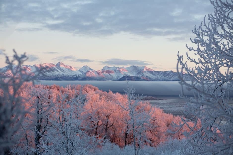
Week of Sep 7
Flood watches cover McGrath and Fairbanks as one storm moves across Alaska
Flood watches take effect Monday for McGrath and Tuesday for Fairbanks as a multi-day storm brings heavy rain and wind across Alaska through Saturday.
by Walter AlaskaNews2mo ago3 min read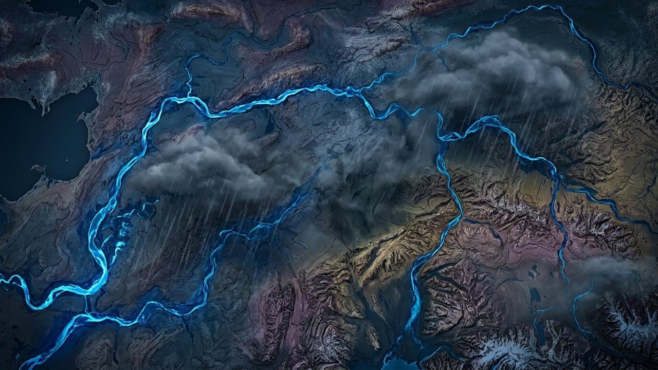
Test flash flood warning to air in Juneau Sept. 23 for Salmon Creek Dam
Juneau's weather radios and broadcasts will sound a "Flash Flood Warning" on Sept. 23 — but it's only a test of the Salmon Creek Dam alert system.
by Walter AlaskaNews2mo ago1 min read
Alaska's August was warmer than its July, for the fourth time in a century
August was warmer than July in Alaska this year, which has happened four times since 1924. July was the coldest since 2008 and kept the fires down.
by Walter AlaskaNews2mo ago2 min read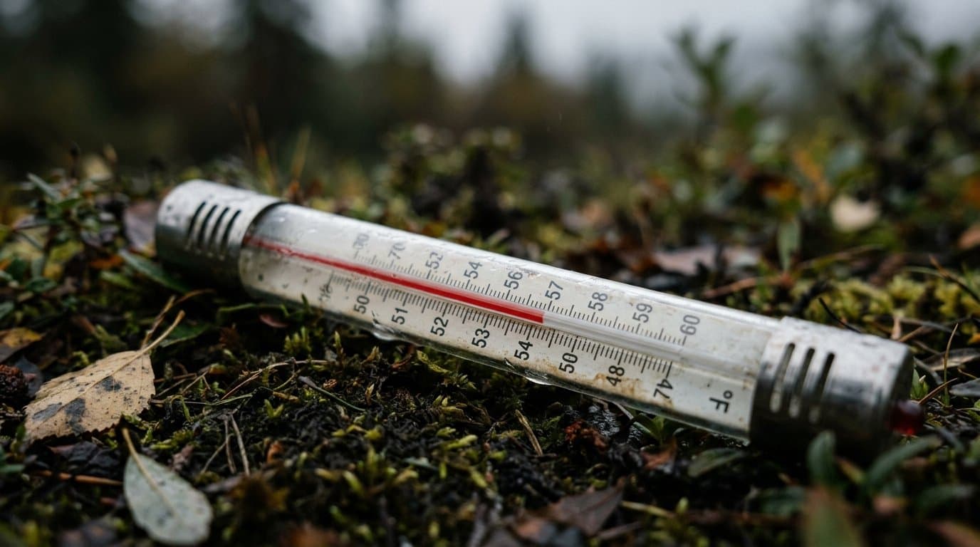
High surf advisory holds until 10 p.m. Saturday as Utqiaġvik logs record September rain
A storm brought high surf to Alaska's Arctic coast and set a September rainfall record in Utqiagvik, the wettest day there in records going back to 1920.
by Maggie AlaskaNews2mo ago1 min read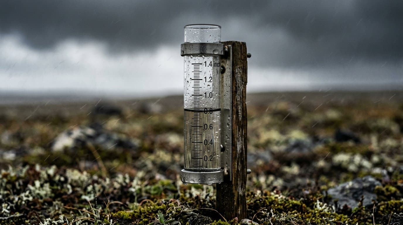
Frost advisory covers Juneau, Yakutat, Hoonah and Gustavus through Friday
A frost advisory covers Juneau, Yakutat and nearby areas early Friday, with temperatures near 35 that could kill uncovered plants.
by Walter AlaskaNews2mo ago1 min read
NWS forecasts water 5 feet above high tide at Golovin through Friday
Water is forecast 3 to 5 feet above the normal high tide line at Golovin through Friday, the third stretch of high water there in three weeks.
by Walter AlaskaNews2mo ago1 min read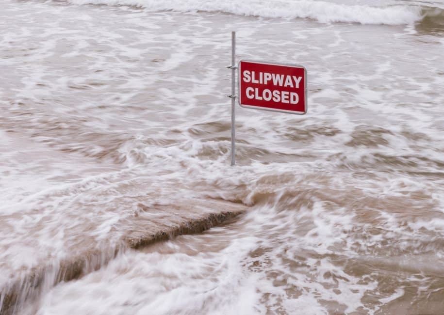
Dense fog advisories end across Southeast Alaska after quarter-mile visibility
Fog cut visibility to a quarter mile or less across parts of Southeast early Thursday, thickest along the road to Juneau's airport. It has since lifted.
by Walter AlaskaNews2mo ago1 min read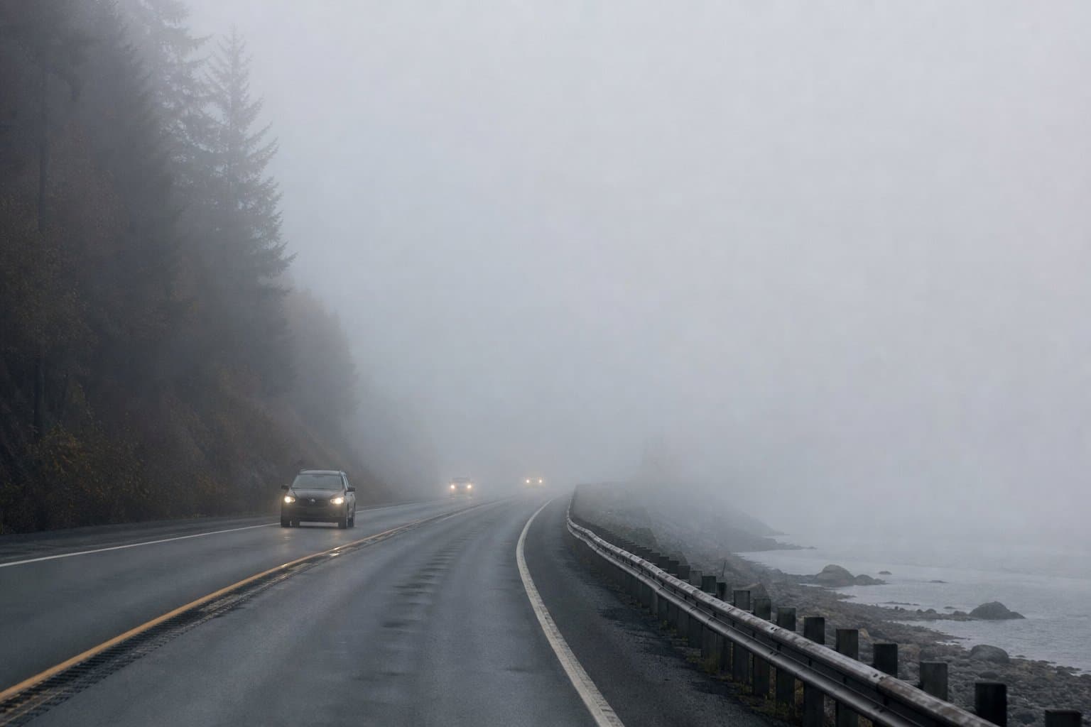
About Weather
Weather in Alaska takes in the storms, high winds, snow, freezing rain, flooding, high surf and dense fog that cross the state. The National Weather Service forecasts these conditions and issues advisories, watches and warnings for Alaska communities.
Weather closes and slows highways through mountain passes such as Turnagain Pass, Broad Pass and Isabel Pass, and windstorms cut power to thousands of homes in Southcentral and Southeast Alaska. Bering Sea storms can raise water levels along the coast of western Alaska, while atmospheric rivers bring heavy rain and flood watches to Southeast.
Weather connects to climate, sea ice and the seasonal breakup and freeze-up of rivers. Records of rainfall, river levels and Arctic sea ice place each storm in a longer pattern.
More from Weather
Weather cancels Koniag townhalls in two villages, three weeks before the board vote
High winds canceled Koniag's first two 2026 shareholder townhalls in Akhiok and Old Harbor on Wednesday, replacing them with meal and sign-in gatherings as the proxy deadline approaches Sept. 30.
by Maggie AlaskaNews2mo ago1 min read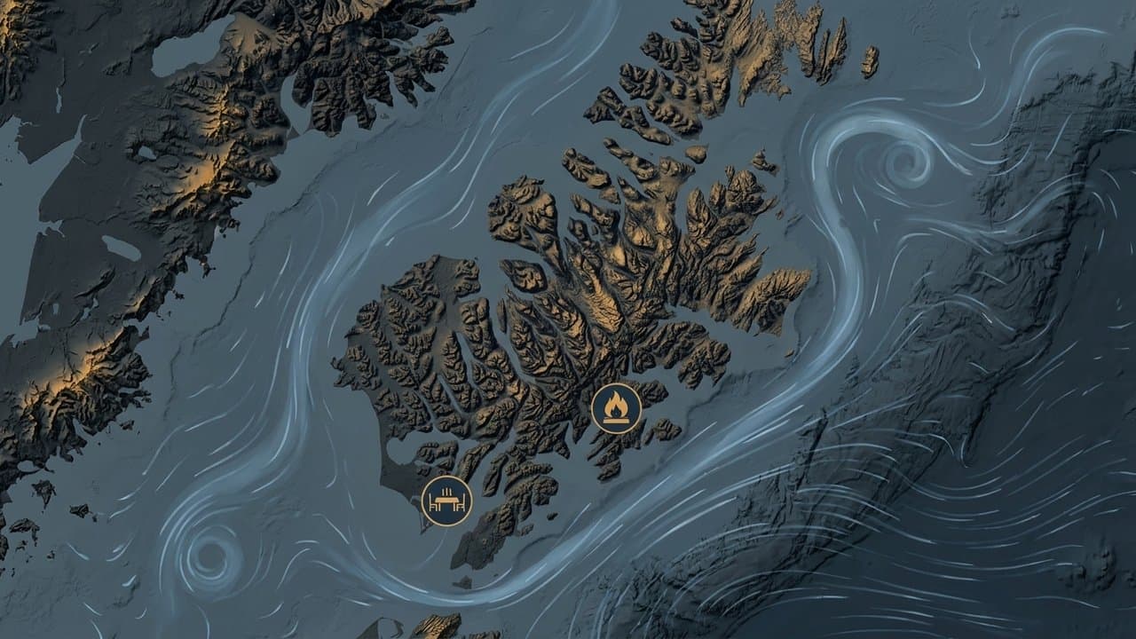
10 Kuskokwim Delta villages named in flood outlooks for Friday
High water coming down the Kuskokwim meets storm surge pushing up it at Friday's high tide. Ten western Alaska villages could see flooding or erosion.
by Walter AlaskaNews2mo ago2 min read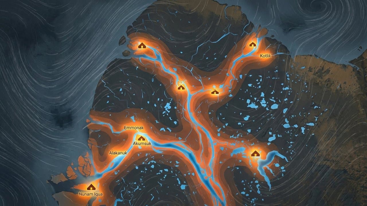
Wind watch upgraded to warning for the Western Arctic Coast and Shishmaref
National Weather Service raised Western Arctic Coast wind gusts to 65 mph from late Wednesday through Friday, with high surf and beach erosion expected.
by Maggie AlaskaNews2mo ago2 min read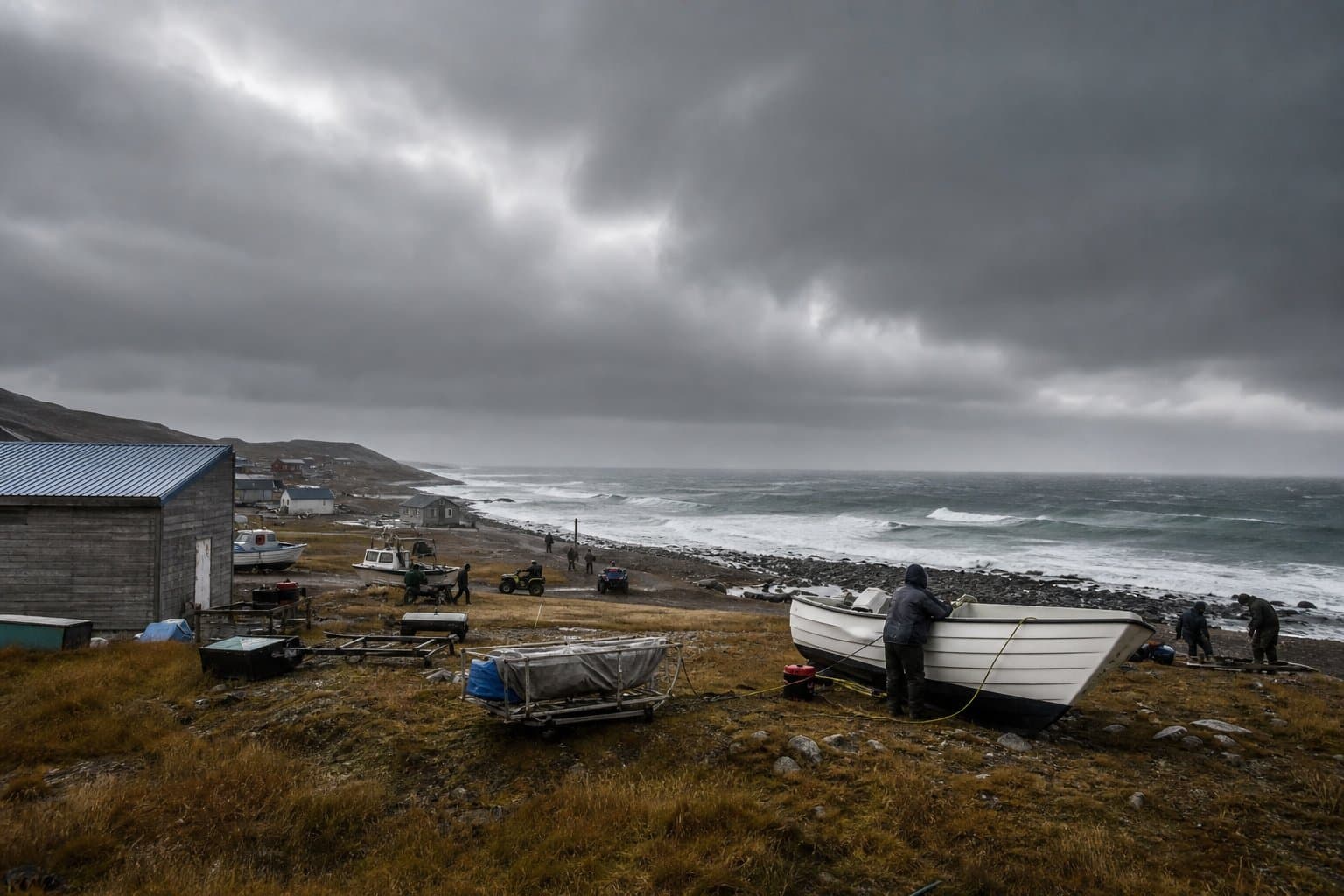
High wind warnings for the northwest coast as Arctic logs warmest summer since 1950
The Arctic had its warmest summer since 1950, and the water off Alaska's northwest coast still ran cold. That coast now gets gusts to 65 mph.
by Maggie AlaskaNews2mo ago2 min read
Gusts to 40 mph are coming across the Interior Tuesday into Wednesday
The Interior is in for gusts of 30 to 40 mph from Tuesday afternoon into Wednesday night, and as high as 50 mph up in the hills and the passes.
by Maggie AlaskaNews2mo ago1 min read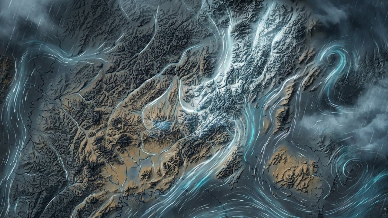
Storm to raise water up to 5 feet above the tide line, Golovin to Wainwright
Coastal flooding could push water 2 to 5 feet above the high tide line along much of western and northern Alaska this week, across several tide cycles.
by Walter AlaskaNews2mo ago2 min read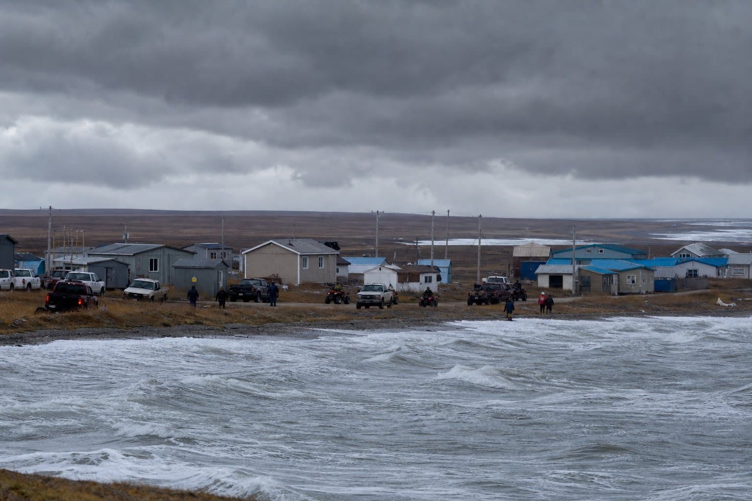
Minor flooding possible at Golovin, with water 4 to 6 feet above high tide
Water could flood Golovin's lowest buildings Wednesday and Thursday as the National Weather Service warns of coastal surge 4 to 6 feet above normal high tide.
by Walter AlaskaNews2mo ago1 min read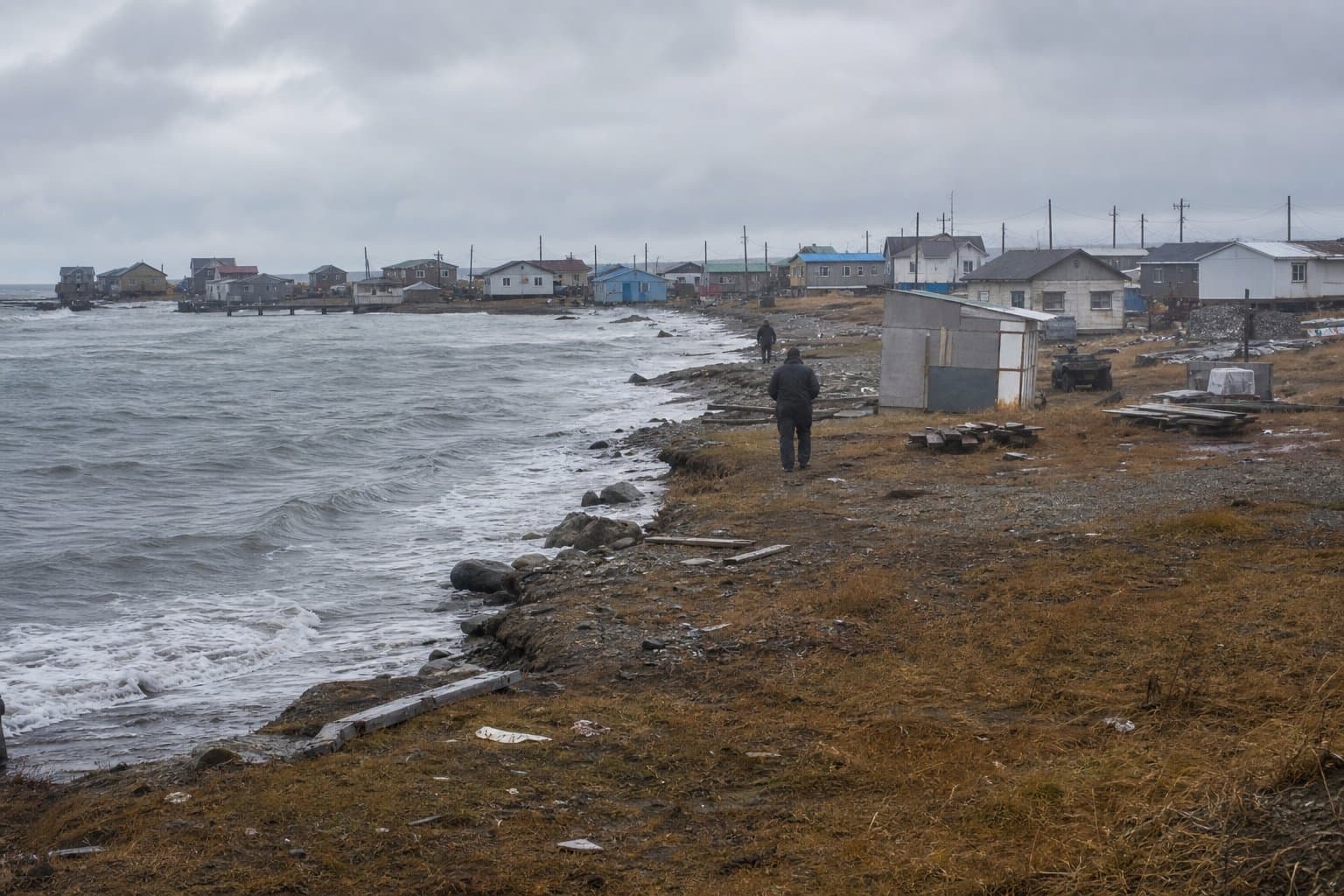
Week of Aug 31
Atmospheric river pushes small Interior streams toward bankfull
An atmospheric river soaked Interior Alaska this weekend, and forecasters warned small streams could rise to the tops of their banks.
by Walter AlaskaNews2mo ago1 min read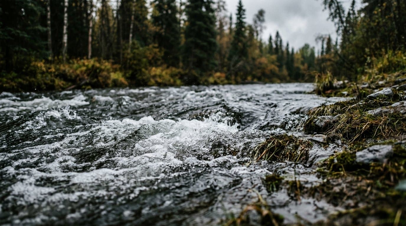
The Kuskokwim Delta's high tides have passed. Forecasters expected no flooding.
High tides Friday and Saturday will peak a foot above normal along the Kuskokwim Delta, but forecasters expect no flooding in Kipnuk, Kwigillingok, Kongiganak and Quinhagak.
by Walter AlaskaNews2mo ago1 min read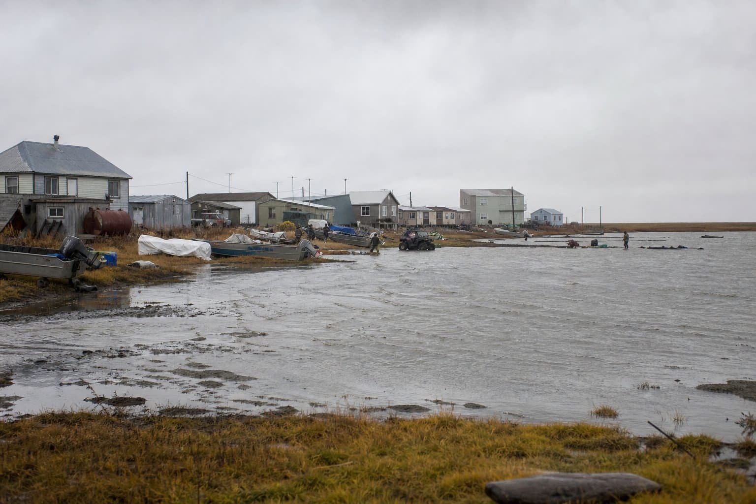
Water could rise again along the Eastern Norton Sound coast Saturday morning
Water along the Eastern Norton Sound coast could run 2 to 4 feet above the normal high tide line again Saturday morning, highest around Golovin.
by Walter AlaskaNews2mo ago1 min read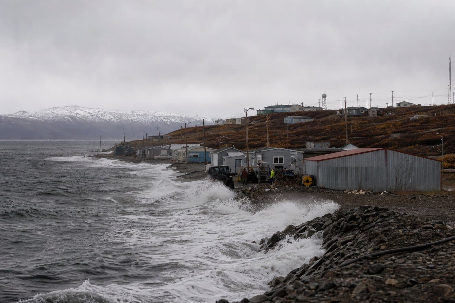
Prince of Wales heat advisory ends after temperatures reach the 80s
National Weather Service raised its heat advisory forecast for Prince of Wales Island to 82 degrees Friday, three degrees above normal summer highs for the 5,700 residents there.
by Maggie AlaskaNews2mo ago1 min read
Magnitude 6.3 quake off Nikolski sets off dozens of Aleutian aftershocks
A magnitude 6.3 earthquake struck offshore in the central Aleutians early Thursday, setting off dozens of aftershocks — but no tsunami and no expected damage.
by Walter AlaskaNews2mo ago1 min read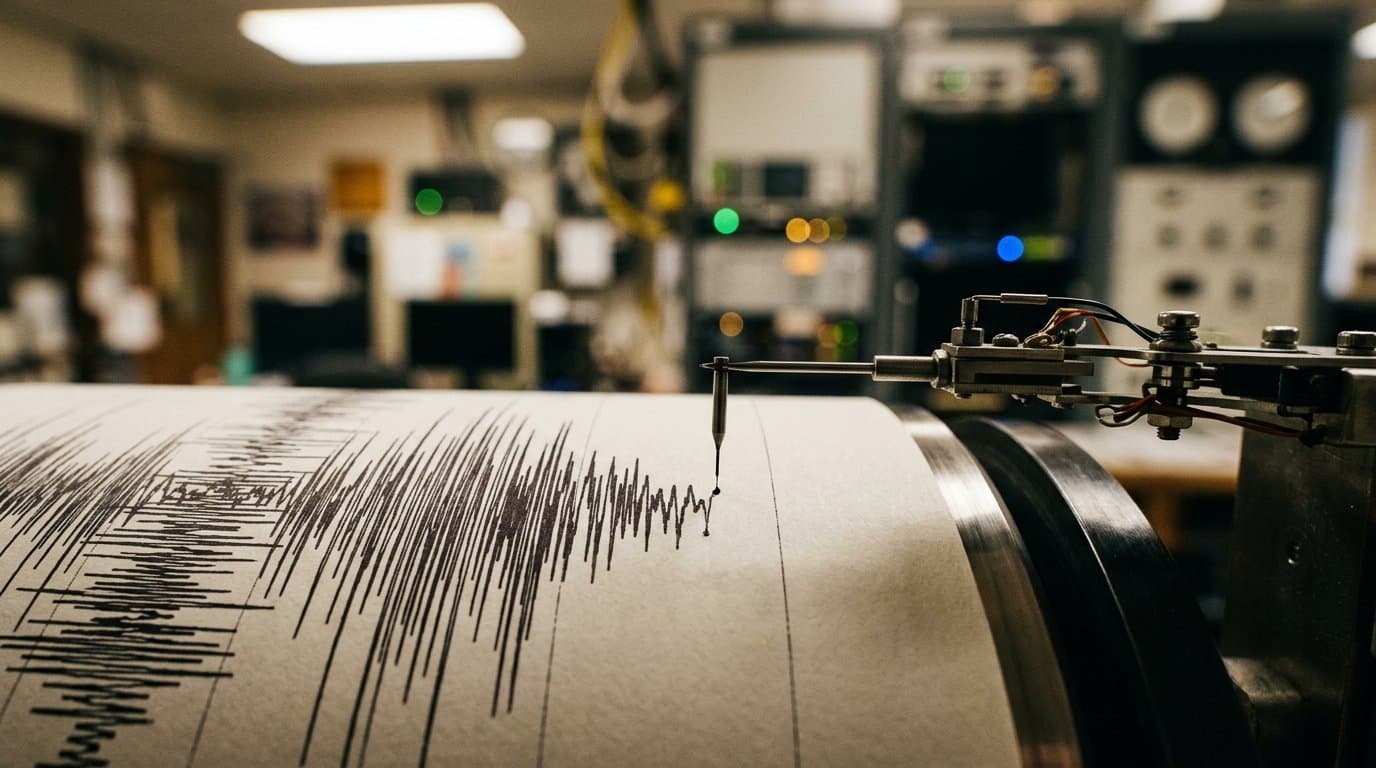
Alaska got early frost and a heat advisory in the same week
Alaska's first week of September brought early frost to Anchorage and Yakutat and a heat advisory to Prince of Wales Island, where Friday hits 80 degrees.
by Maggie AlaskaNews2mo ago1 min read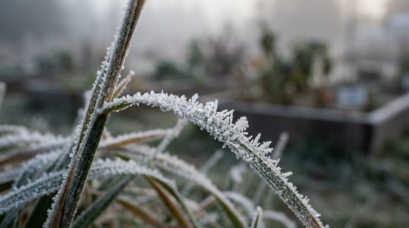
NWS forecasts up to 1.5 inches of rain in the Chena River basin
Up to 1.5 inches of rain will drench the Chena River basin over the next 48 hours, pushing rivers higher, though NWS Fairbanks says flooding is not expected unless the heaviest rain shifts east.
by Maggie AlaskaNews2mo ago2 min read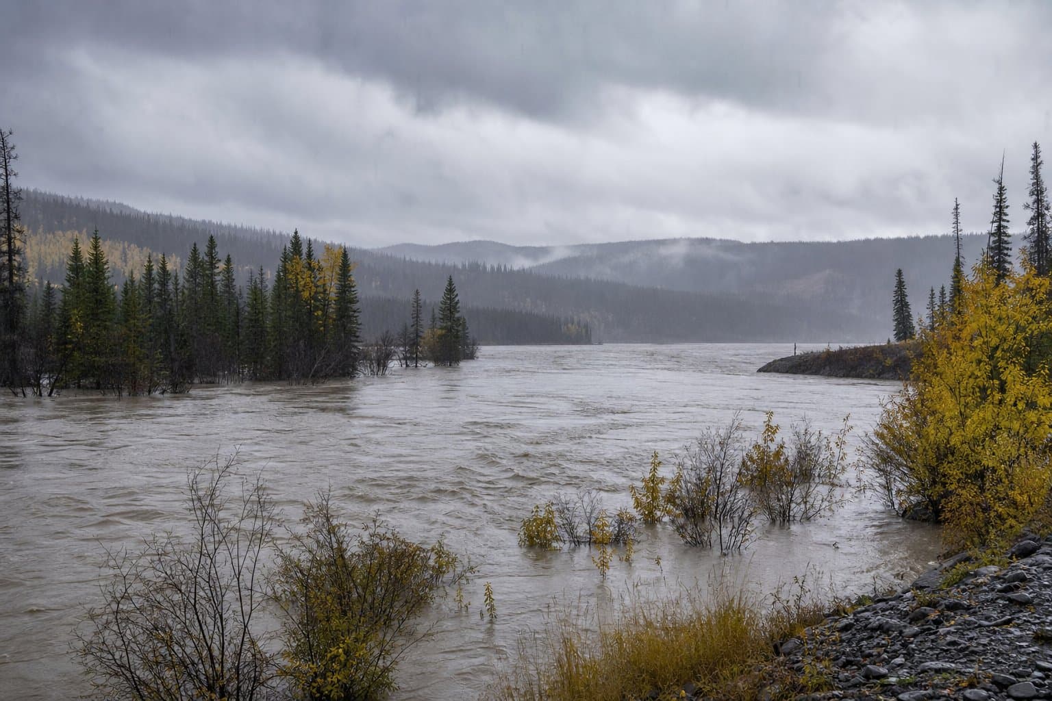
Montana Creek topped flood stage in Juneau's Mendenhall Valley, with advisories into Tuesday morning
Montana Creek rose over the low-water crossing on Montana Creek Road this week. Another foot of water would put it into yards along Mendenhall Loop Road.
by Walter AlaskaNews2mo ago1 min read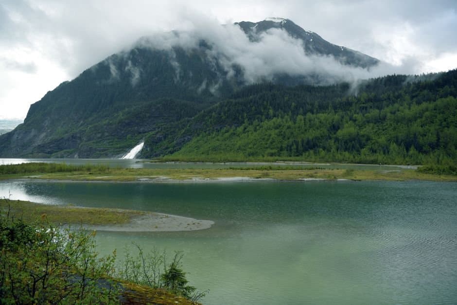
Interior awards $8,360 for helicopter service to Tincan and Indian Pass snow sensors
Interior awarded $8,360 to Alpine Air Alaska to maintain two remote snow sensors that feed avalanche forecasts for Turnagain Pass and Indian Pass through October.
by Maggie AlaskaNews2mo ago1 min read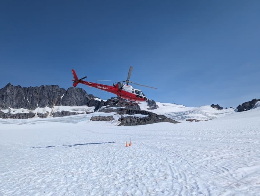
Dozens of earthquakes struck one patch of seafloor near Nikolski
Three dozen quakes struck one patch of seafloor southwest of Nikolski in about a day. No tsunami danger, and the Aleutians are not in Alaska's warning system.
by Walter AlaskaNews2mo ago1 min read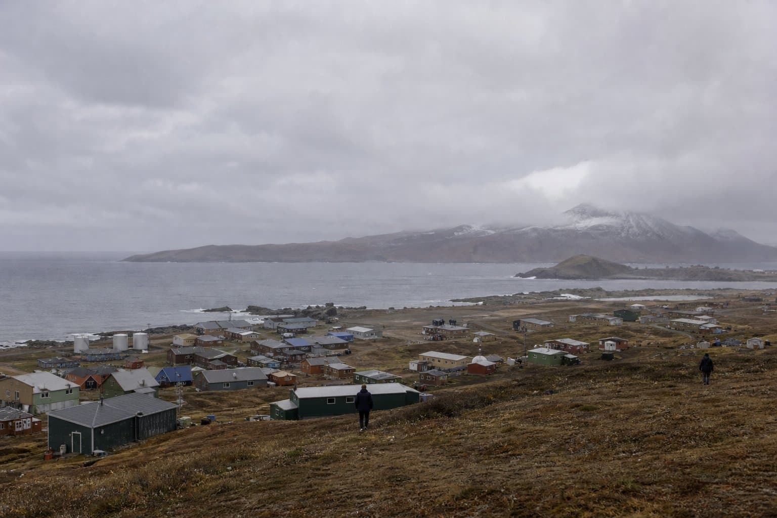
Some Anchorage homes went a month without running water last winter
Some Anchorage homes went a month without running water last winter. Frozen lines hit triple the usual number, and thawing them is the customer's expense.
by Walter AlaskaNews2mo ago2 min readFrom 
Water forecast 2 to 4 feet above normal high tide in Eastern Norton Sound
Water along Eastern Norton Sound should run 2 to 4 feet above normal high tide from late Thursday into Saturday, with beach erosion likely.
by Maggie AlaskaNews2mo ago2 min read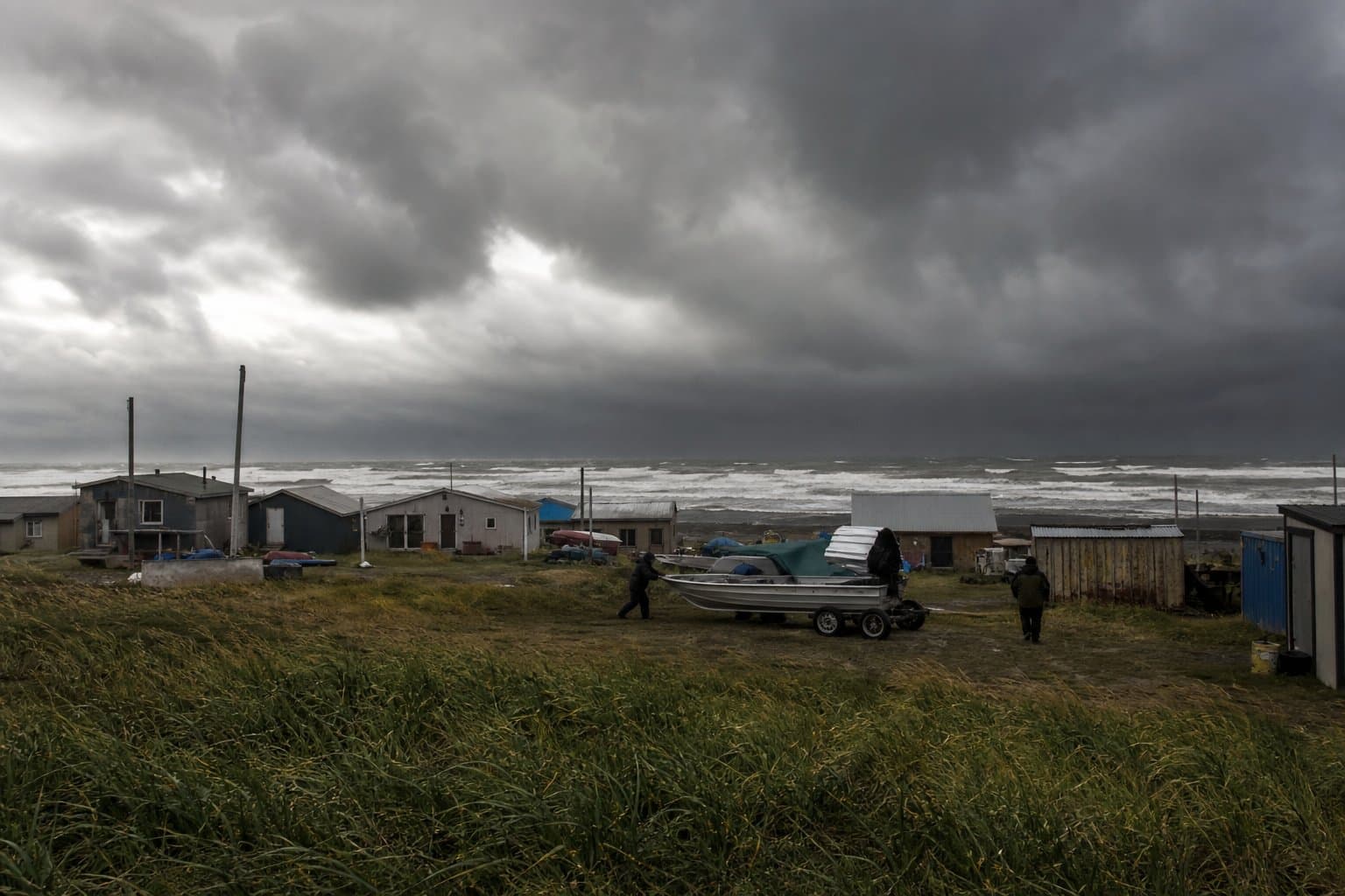
Forecasters flag Kwigillingok as water rises along the Kuskokwim Delta coast
Water along the Kuskokwim Delta coast is forecast 1 to 2 feet above normal high tide, with forecasters flagging Kwigillingok as most exposed to this front.
by Maggie AlaskaNews2mo ago2 min read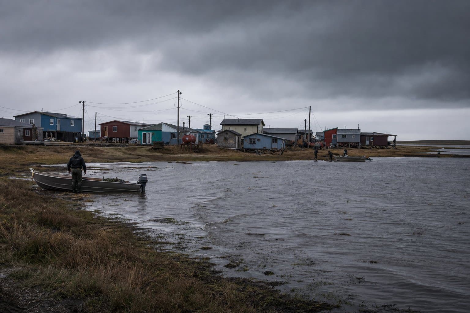
Chukchi coastal waters expected to become ice free within days, NWS says
Chukchi Sea navigational waters off Alaska will become ice free within days, the National Weather Service said Monday, though Arctic-wide sea ice remains near record lows for this time of year.
by Maggie AlaskaNews2mo ago1 min read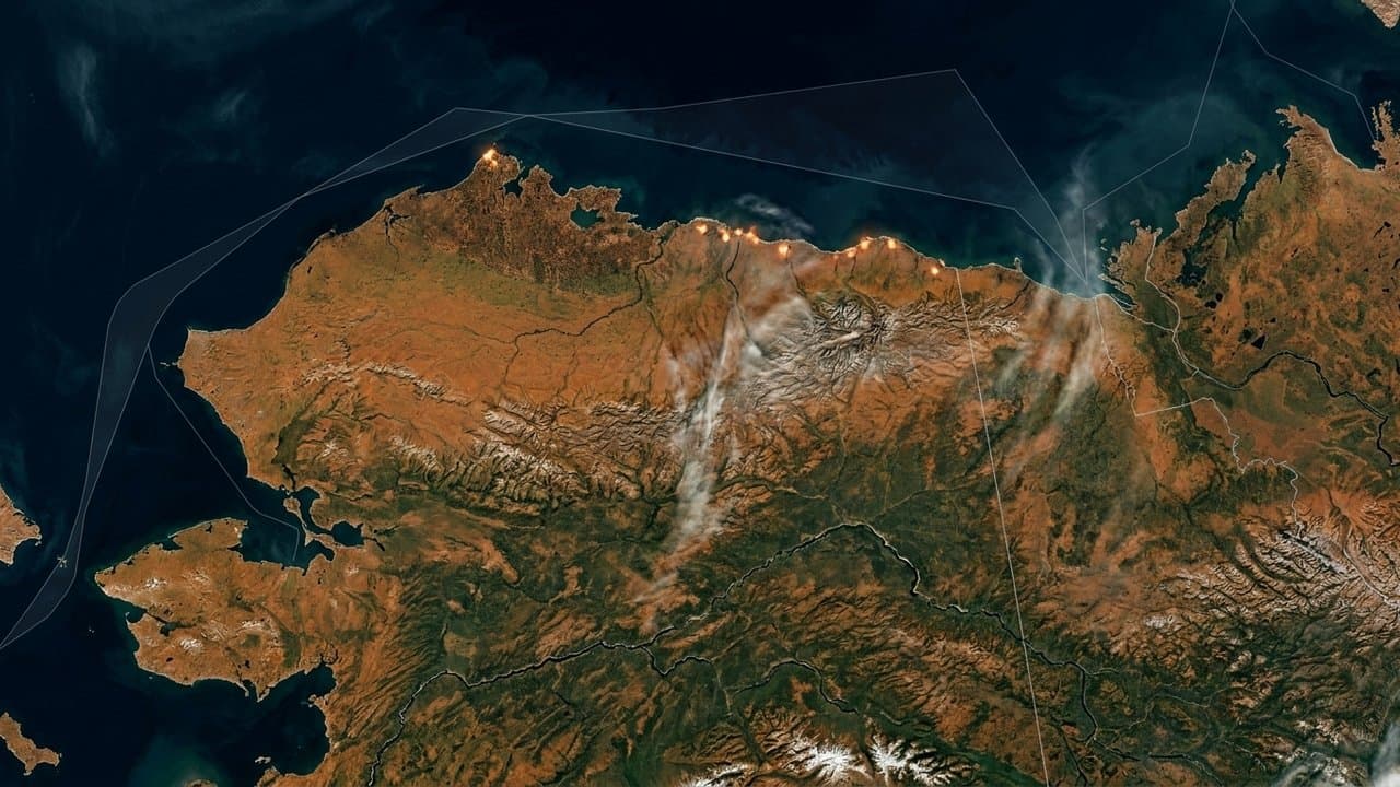
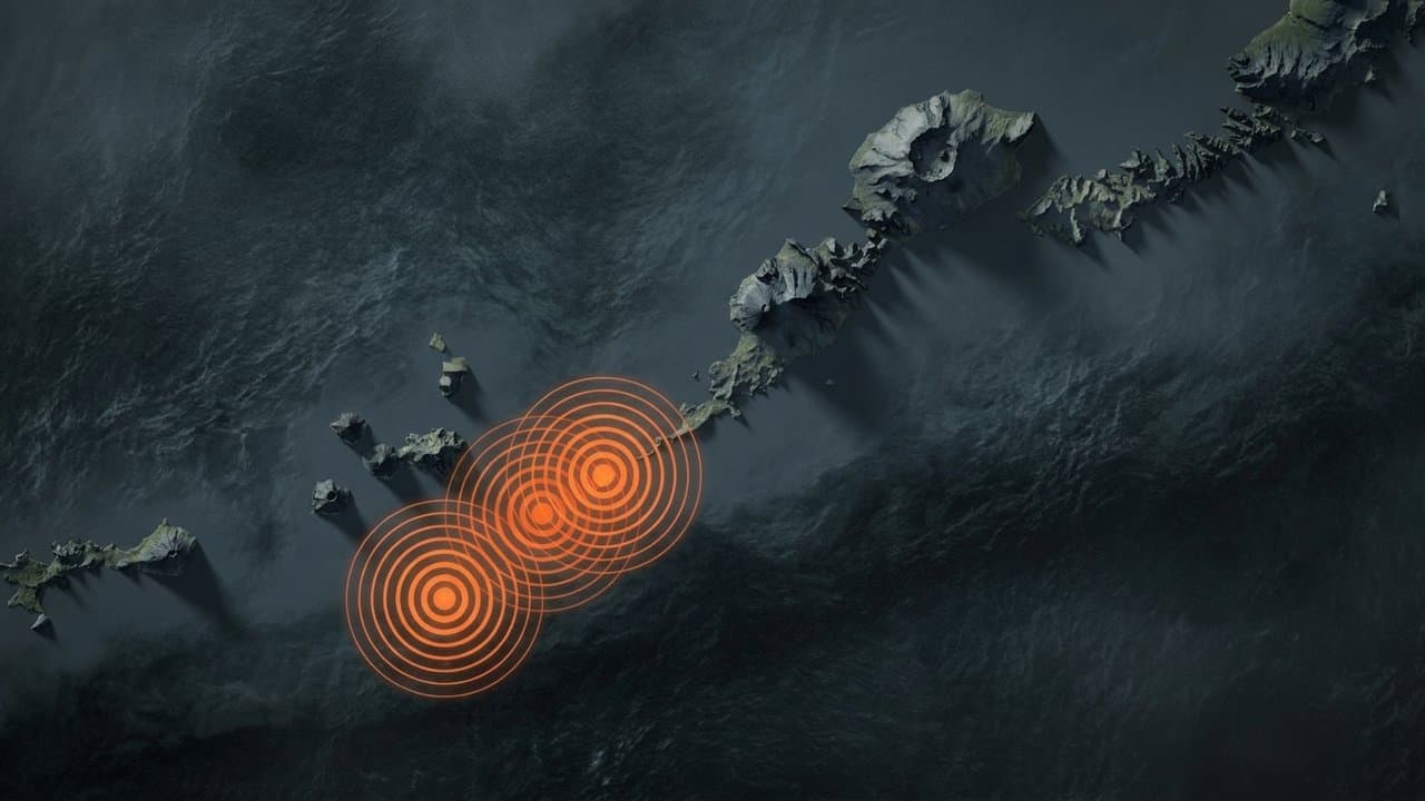
Four quakes off Nikolski, largest magnitude 5.3; no tsunami danger
Four earthquakes struck offshore southwest of Nikolski late Monday, with the largest at magnitude 5.3, but the National Tsunami Warning Center said there was no tsunami danger.
 by Alaska News2mo ago1 min read
Week of Aug 24
Frost advisory for Anchorage and the Mat-Su early Tuesday
Cover your plants Monday night. Frost is expected early Tuesday in colder pockets of Anchorage and the Mat-Su, a few days ahead of the usual first chill.
by Walter AlaskaNews2mo ago1 min read
Snow and 40 mph gusts are forecast for the Richardson Highway on the last day of August
Snow is heading for Isabel Pass on the last day of August: 4 to 8 inches above 2,000 feet, north winds gusting to 40 mph, and a work zone underneath it.
by Maggie AlaskaNews2mo ago2 min read