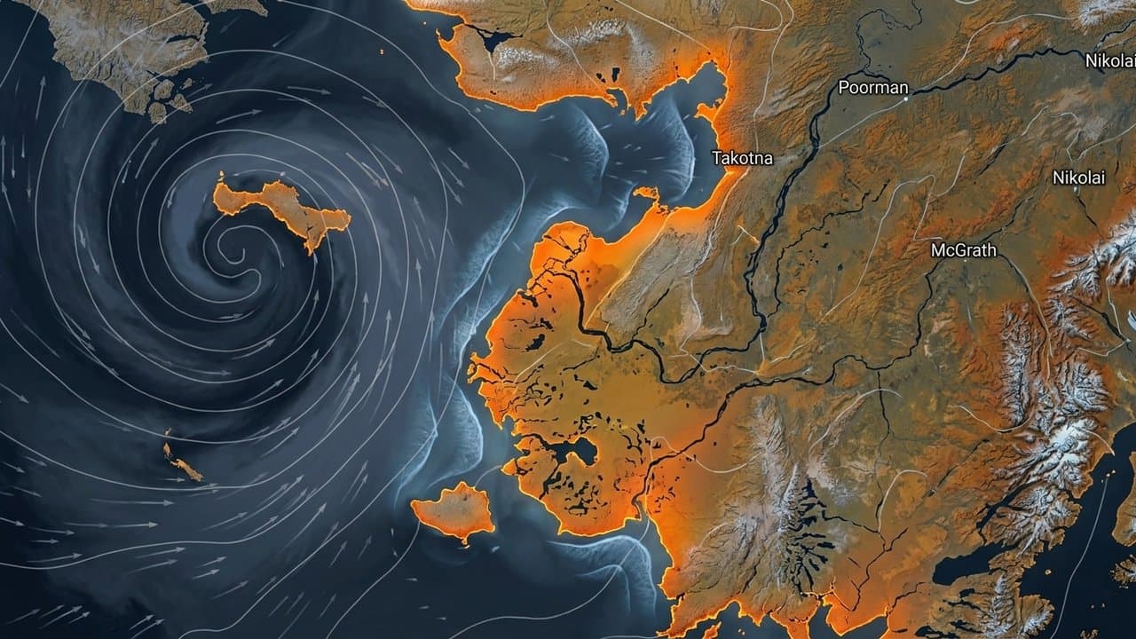
Editorial map (Gemini + Google Maps)
NWS tracks Bering Sea low that could raise Yukon Delta water 1 to 3 feet
A low-pressure system moving through the southern Bering Sea Thursday through Saturday could push water 1 to 3 feet above the mean high water line along the southern Yukon Delta coast, the National Weather Service in Fairbanks said Monday. The advisory took effect at 3 p.m. Monday and runs until 4 p.m. Tuesday.
The most likely track, south of the forecast area, would bring only modest rises above normal high water. A track farther north raises the chance of high surf. "We will continue to monitor this system closely," the weather service said.
The delta remains exposed to storm-driven surges through an open-water season that runs into mid-November. It has faced repeated flooding threats this year, including special weather statements Sept. 13 and Sept. 14 and high surf advisories in August near Emmonak and Kotlik. At Kotlik, the Alaska Division of Geological and Geophysical Surveys documented 10 flooding events between 1964 and 2019, with damages totaling about $12.1 million.
A 2014 study in the journal Arctic found storm surges in 2005, 2006 and 2011 pushed floodwater 27 to 32 kilometers inland, and historical drift-line mapping shows flooding reaching 37 kilometers inland. The study's authors say hazard assessments may underestimate that inland extent and its ecological impacts.
Source: National Weather Service, National Weather Service: [NWS Special Weather Statement] Yukon Delta Coast (issued 2026-09-21T15:00:00-08:00) ().
AI-assisted. No editor review is on record for this article. Who is accountable.
Stay informed. Support what matters.
Free, permanent access to local news you can verify. Subscribe to support Maggie AlaskaNews and go ad-free.
Related Coverage
High surf and minor flooding for Alaska's west coast through Thursday
Alaska News · 2mo ago
A storm could raise water 4 to 6 feet at low-lying Norton Sound villages
Alaska News · 1mo ago
Water forecast 2 to 4 feet above normal high tide in Eastern Norton Sound
Alaska News · 2w ago
Storm to raise water up to 5 feet above the tide line, Golovin to Wainwright
Alaska News · 1w ago
Forecasters flag Kwigillingok as water rises along the Kuskokwim Delta coast
Alaska News · 2w ago
Comments
Sign in to leave a comment.
No comments yet. Be the first to share your thoughts.