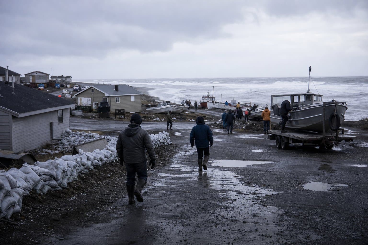
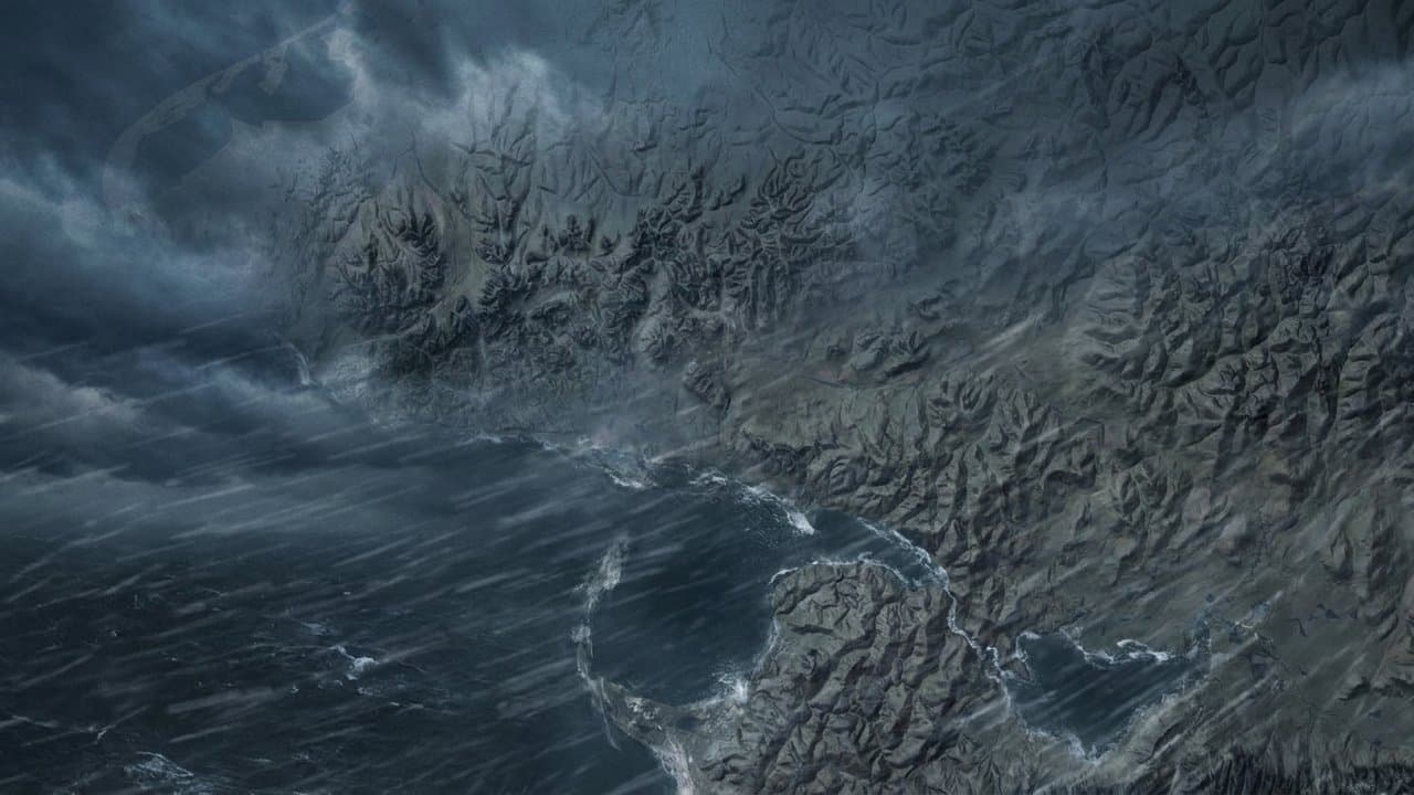
AI image
Choi-Wan remnants could push water 4 to 6 feet above high tide on Bering Strait coast
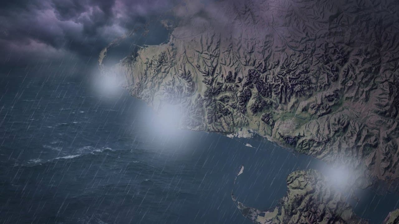
The National Weather Service expects minor coastal flooding, with water 4 to 6 feet above the normal high tide line, on the Bering Strait Coast and Southern Seward Peninsula Coast. A coastal flood advisory runs from 10 am Thursday to 4 am Saturday.
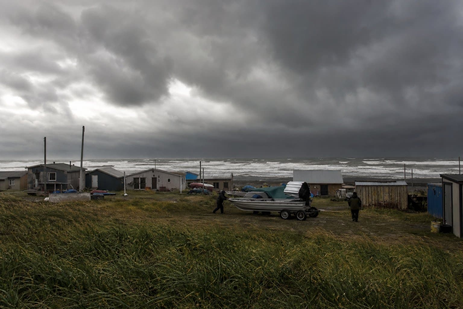
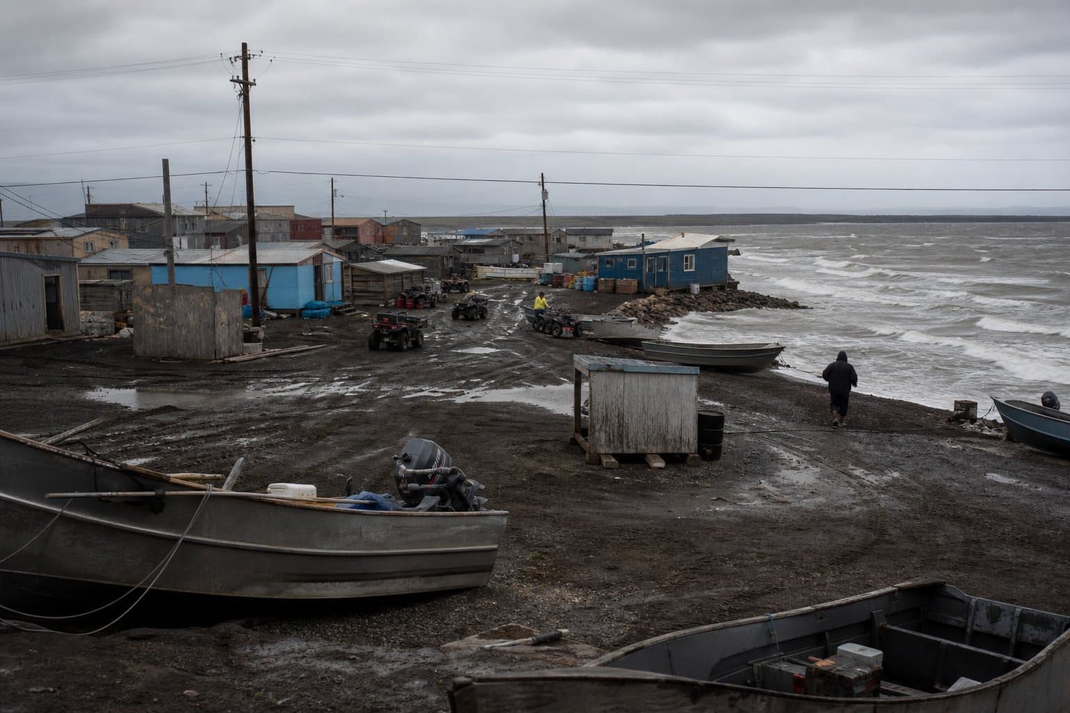
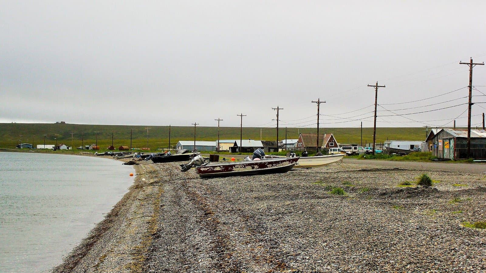
Portions of Front Avenue in Teller may flood. In Nome, water may approach yards and homes in the Belmont Subdivision. Forecasters expect beach erosion, and some roads may close. The Fairbanks office called the Nome forecast "marginal," with water possibly 4 to 5 feet above the normal high tide line during the Thursday afternoon and Friday morning high tides.
National Weather Service Anchorage ties the storm to the remnants of Typhoon Choi-Wan meeting a low near Kamchatka. Sea levels should stay high through Friday and ease Friday night into Saturday.
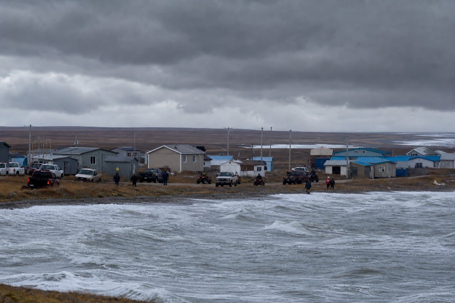
High surf advisories, also running to 4 am Saturday, cover more of the coast. Eastern Norton Sound could see 4 to 6 feet, highest in Elim and Koyuk. Shishmaref, Kivalina and Red Dog Dock, the Western Arctic Coast from Point Hope south, the Northern Seward Peninsula (from 1 pm Thursday) and the Yukon Delta Coast (from 7 am Thursday) could see 2 to 4 feet. The Fairbanks office said it will monitor Hooper Bay closely, where water could approach beach property if it reaches 3 feet.
Wind reaches the Aleutians first. High wind watches call for gusts up to 90 mph at Shemya and Attu from Wednesday morning to Thursday morning, and 80 mph at Atka and Adak Wednesday afternoon and night. Gusts could reach 75 mph in the Pribilof Islands, strongest from 4 to 8 am Thursday. St. Lawrence Island could see 70 mph winds from late Wednesday night to late Thursday night, and the Bering Strait Coast and Seward Peninsula could see 60 mph winds Thursday. A watch means the winds are possible. Risks include property damage, power outages and difficult travel. "Fasten loose objects or shelter objects in a safe location prior to the onset of winds," the Anchorage office said.
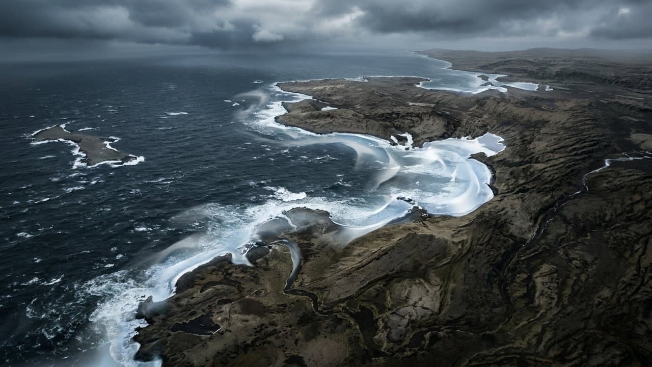
At sea, a hurricane force wind warning covers the Pacific side from Kiska to Attu, with winds rising to 65 knots Wednesday afternoon and 30-foot seas Wednesday night. Storm warnings cover Saint Matthew Island waters, with 55-knot winds and 26- to 29-foot seas, plus the Bering Sea offshore waters north of 56N and the Aleutian waters from Adak to Attu. Anchorage forecasters put confidence at 60% to 70% that gusts reach 70 knots or more over parts of the Bering Sea and Aleutians.
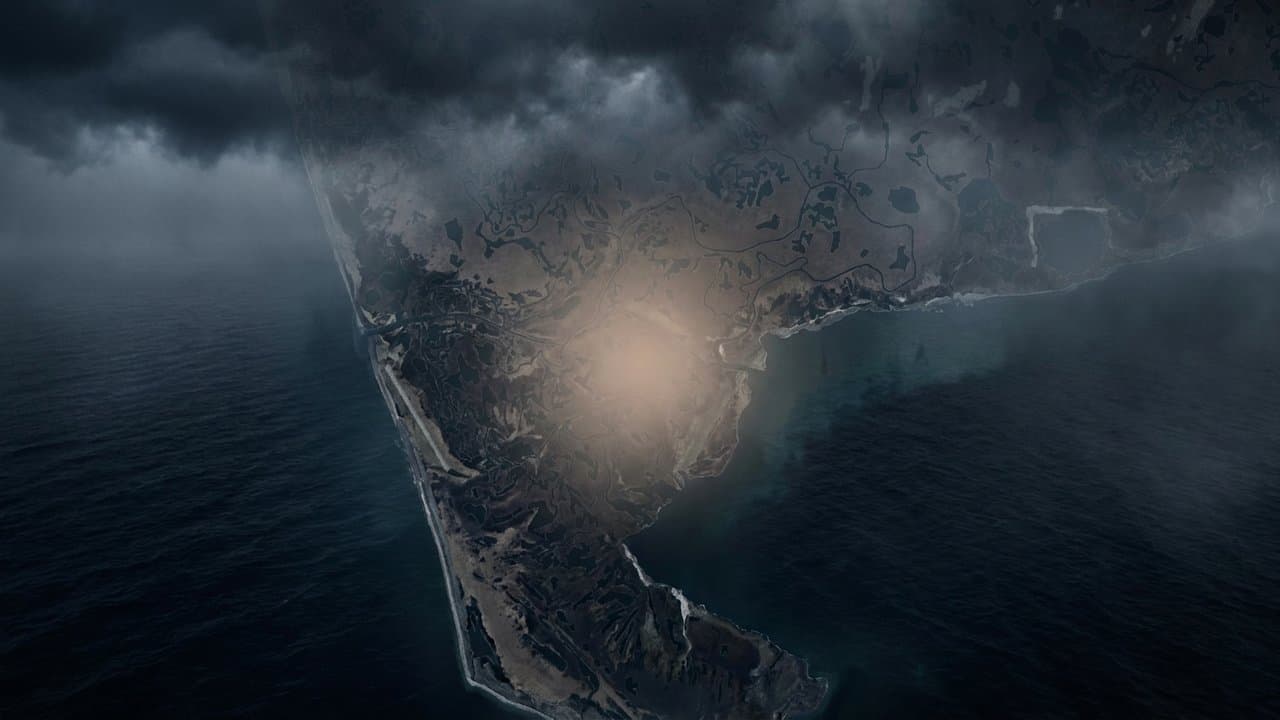
As of Tuesday morning, no coastal alert covered the Kuskokwim Delta coast, including Kipnuk and Kwigillingok. On Monday, the Anchorage office gave the Yukon-Kuskokwim Delta a 10% to 20% chance of high surf to minor coastal flooding Thursday, with new-moon tides near their monthly low. Typhoon Halong's remnants struck the region in October 2025 and displaced more than 1,500 people, an emergency operations official told an Anchorage public health and safety committee meeting that November.
The Anchorage office said Monday that the storm's track and the location of its strongest winds remain uncertain.
What did you make of this story? (no account needed)
Made by our human newsroom with AI. Reviewed by Cale Green. How humans and AI work here · Grow with our newsroom ·
Keep Alaska News free for everyone.
No paywall, ever. Members pay so everyone can read the meetings and records Alaska News covers.
Get Alaska News in your inbox
Create your free account and get the day’s top stories around 6 each morning, in a few minutes’ read.
Top stories, around 6 each morning.
Stories on what you follow, on Sundays.
Source: Ex-Typhoon Choi-Wan storm to push water 4 to 6 feet above high tide on the Bering Strait coast Thursday and Friday, with gusts up to 90 mph possible in the western Aleutians.






Comments
Sign in to leave a comment.
No comments yet. Be the first to share your thoughts.