AI image
Chena River below Moose Creek Dam forecast to crest above flood stage Saturday morning
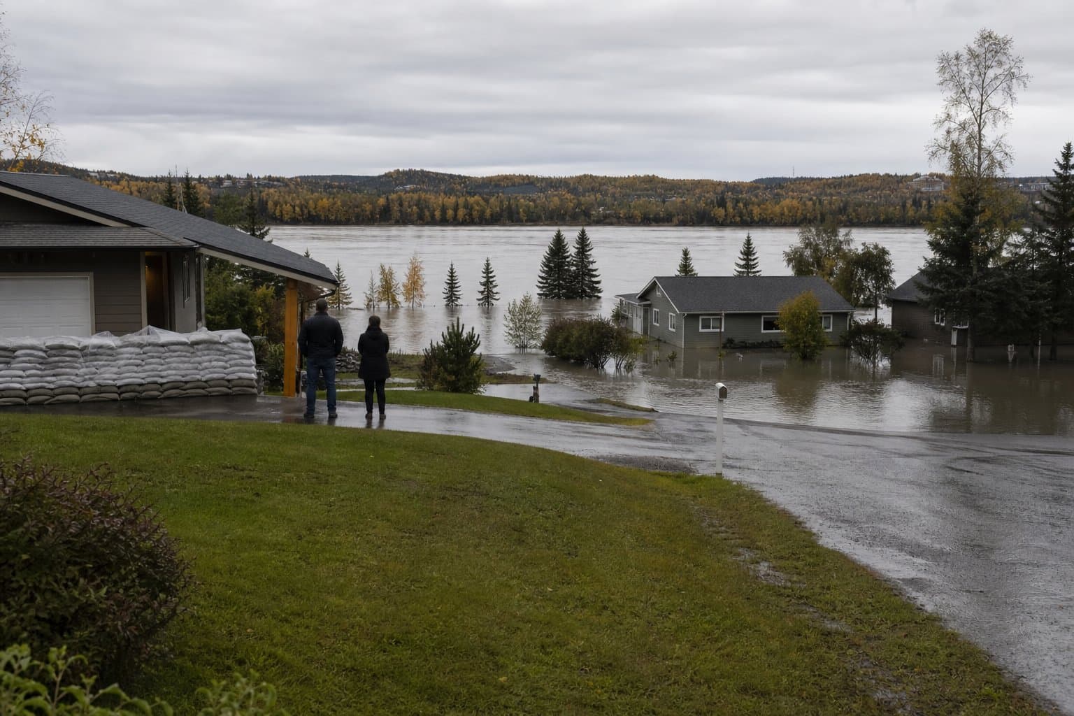
The Chena River below Moose Creek Dam is forecast to crest at 25.0 feet at 4 a.m. Saturday, half a foot above its 24.5-foot flood stage, according to a flood advisory issued Thursday by the National Weather Service in Fairbanks.
That means water over roadways and minor flooding in low-lying and poor drainage areas from the dam east to the end of Chena Hot Springs Road. The advisory runs until 8:45 a.m. Saturday. A separate flood watch running through Saturday afternoon covers Fairbanks, North Pole, Two Rivers, Fort Wainwright, Ester and Fox, and projects both the Chena and Little Chena rivers above minor flood stage from Thursday afternoon into Friday.
"Turn around, don't drown when encountering flooded roads. Most flood deaths occur in vehicles," the advisory said. Forecasters told people in flood-prone areas to monitor the latest forecasts and be prepared to act if flooding develops.
The advisory reported 1.5 to 2 inches of rain already fallen, with up to 0.25 inches more possible. The watch cited a storm total of 1.5 to 3 inches on saturated soils. At 10 a.m. Thursday the Chena below Moose Creek Dam stood at 22.1 feet, below its 22.5-foot action stage. The Chena River near Two Rivers was at 19.4 feet and forecast to crest at 20.1 feet at 10 p.m. Thursday, above its 19.5-foot flood stage. The Chena below Hunts Creek near Two Rivers was forecast to crest at 16.2 feet Friday morning, below its 17.2-foot flood stage.
Luke Butcher, the Fairbanks North Star Borough's emergency operations director, said crews "changed and activated the Moose Creek Dam to minor flood stage" sometime between Wednesday night and Thursday morning. He called wind his biggest immediate concern. No residents in the advisory area were reached for comment.
Alaska News previously covered an earlier flood watch for the Chena and Little Chena rivers, when up to an inch of rain was forecast. The Chena River Lakes Flood Control Project, authorized by Congress in 1968, regulates flows through Fairbanks to no more than 12,000 cubic feet per second. The U.S. Army Corps of Engineers has operated the dam 27 times since 1981. Such rainfall episodes fit a broader pattern of changing precipitation and hydrology in Interior Alaska.
River levels are posted at water.noaa.gov.
Source: National Weather Service ().
AI-assisted. No editor review is on record for this article. Who is accountable.
Stay informed. Support what matters.
Free, permanent access to local news you can verify. Subscribe to support Maggie AlaskaNews and go ad-free.
Related Coverage
NWS forecasts up to 1.5 inches of rain in the Chena River basin
Alaska News · 2w ago
Flood watch warns Chena and Little Chena could top minor flood stage Wednesday
Alaska News · 3d ago
Atmospheric river pushes small Interior streams toward bankfull
Alaska News · 1w ago
Weekend rain could push Interior Alaska rivers to a rare high
Alaska News · 2mo ago
Flood watches cover McGrath and Fairbanks as one storm moves across Alaska
Alaska News · 4d ago
Comments
Sign in to leave a comment.
No comments yet. Be the first to share your thoughts.