AI image
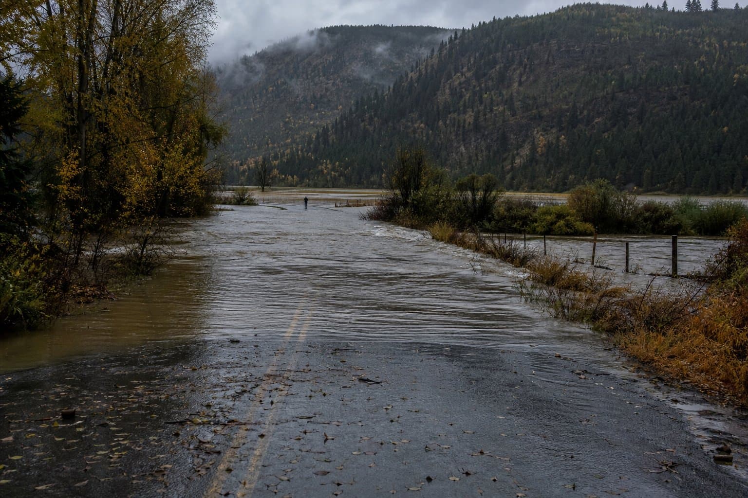
Montana Creek reaches flood stage in Juneau, spills over Montana Creek Road crossing
Montana Creek reached flood stage Sunday morning in Juneau, spilling water over the low water crossing on Montana Creek Road.
The National Weather Service in Juneau issued a flood advisory at 7:38 am, extended it later that morning, then canceled it at 1:30 pm, saying heavy rain had ended and floodwaters had receded.
The advisory also covered Back Loop Road at the Montana Creek bridge, warning of water over roadways and overflowing drainage areas. "Be aware of your surroundings and do not drive on flooded roads," it said. The cancellation told people to heed any remaining road closures.
Between 1 and 1.5 inches of rain fell overnight. By 10 am, the total had reached 1.25 to 1.75 inches. The gauge at the Back Loop Bridge read 14.5 feet, flood stage, at 7 am. At that level, the creek runs bankfull at the gauge and starts covering undeveloped fields along Mendenhall Loop Road.
At 10 am, the advisory put the gauge at 14.9 feet and forecast a crest near 15 feet around 11 am. Hourly readings peaked lower, at 14.8 feet at 11 am, then fell below 14.5 feet by 1 pm.
The creek rose to the same spot a month earlier. An advisory issued late Aug. 31 put the gauge at 14.7 feet and forecast a crest near 15 feet. When the weather service canceled it the next morning, it said the creek had crested around 14.7 feet.
Moderate flood stage at the gauge is 17 feet, where the weather service estimates Mendenhall Loop Road begins to flood. Juneau records a 17.3-foot high-water mark from Oct. 20, 1998.
Source: National Weather Service, National Weather Service: [NWS Flood Advisory] City and Borough of Juneau (issued 2026-10-04T07:38:00-08:00).
AI-assisted. Reviewed by Cale Green. How we use AI
Stay informed. Support what matters.
Free, permanent access to local news you can verify. Subscribe to support Walter AlaskaNews and go ad-free.
Related Coverage
Montana Creek topped flood stage in Juneau's Mendenhall Valley, with advisories into Tuesday morning
Alaska News · 1mo ago
Juneau's glacial outburst flood crested Thursday at 14.7 feet, above major flood stage
Alaska News · 1mo ago
Juneau's Suicide Basin refills fast as second release remains possible
Alaska News · 1w ago
Juneau lifts its Suicide Basin flood evacuation
Alaska News · 1mo ago
Chena River flood advisory extended through Sunday as crest forecast rises
Alaska News · 2w ago
Comments
Sign in to leave a comment.
No comments yet. Be the first to share your thoughts.