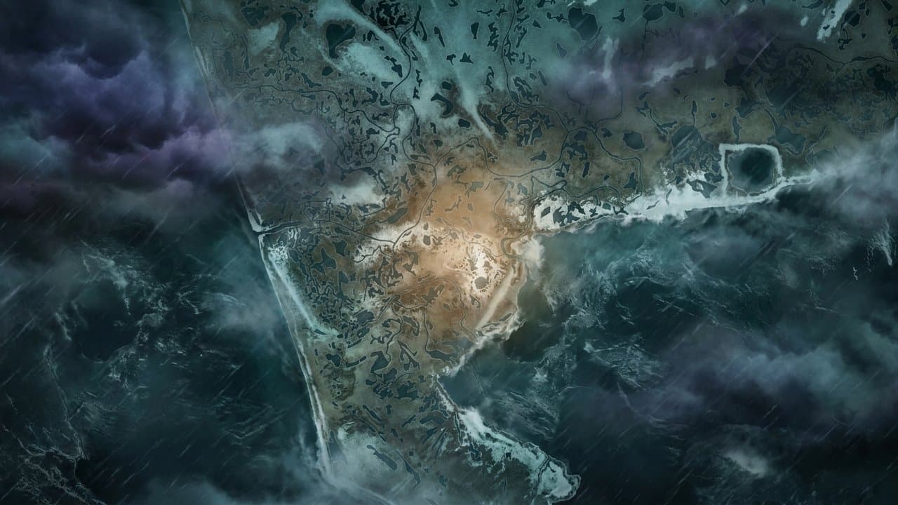
Editorial map (Gemini + Google Maps)
Forecasters track four more storms headed for western Alaska through next week
National Weather Service forecasters in Fairbanks are tracking four more storms behind the one that hit western Alaska on Friday, and the State Emergency Operations Center will stay at heightened readiness through next week.
"A very active pattern is underway across Western AK, with five storms expected through next week," NWS Fairbanks said in a post Friday. After the current system, the office expects impacts Sunday into Monday, Monday into Tuesday and Tuesday into Wednesday, and it is "watching closely for tropical remnants" in a fifth storm expected Thursday into Friday.
The Sunday storm will ride an atmospheric river across the North Pacific and be mainly a rain and wind event for most places at or near valley level, forecasters wrote in Friday's forecast discussion. The weather service has issued a high wind watch for the Bering Strait coast, Shishmaref and St. Lawrence Island from Monday afternoon to Tuesday afternoon, and coastal flood watches from late Monday night through late Tuesday night from Shishmaref north to the Western Arctic coast, including the Kotzebue area, where water could reach 3 to 5 feet above the normal high tide line.
Friday's storm brought gusts of 50 to 70 mph to the coast and cut Hooper Bay off from its airstrip early Friday afternoon, the Fairbanks office said. The wind has since eased, but forecasters expect water to stay elevated and surf high through early next week, and a high surf advisory covers the Yukon Delta coast until 4 am Tuesday.
The Alaska Division of Homeland Security and Emergency Management said Friday that the emergency center has contacted communities that could be affected to make sure they are prepared, and that staff will monitor through the weekend and work with response partners on real-time updates. "With additional storms expected to follow this current system, SEOC operations will remain at heightened readiness over the next week," the division said. The center's website lists its current level as "Heightened Awareness - West Coast Storms."
Inland, a winter weather advisory covers Fairbanks, Two Rivers, Salcha, Delta Junction and nearby areas from 10 am Sunday to 10 pm Monday, with up to 2 inches of snow and rain overnight Sunday into Monday that will freeze on cold surfaces. In the Brooks Range, a winter storm warning calls for 8 to 16 inches of snow on the south slopes through 10 pm Monday, and an advisory for Atigun Pass calls for 3 to 6 inches and gusts to 55 mph. The weather service tells drivers to check 511.alaska.gov or call 511.
Fall sea storms and the remnants of Typhoon Halong displaced more than 1,500 people across western Alaska in October 2025, according to a presentation at a Nov. 5, 2025, Anchorage Public Health and Safety Committee meeting.
Source: National Weather Service.
Made by our human newsroom with AI. Reviewed by Cale Green. How humans and AI work here · Grow with our newsroom
Stay informed. Support what matters.
Free, permanent access to local news you can verify. Subscribe to support Maggie AlaskaNews and go ad-free.
Related Coverage
A strong Bering Sea storm could bring coastal flooding to western Alaska Friday
Alaska News · 4d ago
Flood watch warns Hooper Bay water could rise 4 to 8 feet above high tide
Alaska News · 3d ago
Bering Sea storm floods roads in Hooper Bay, Teller and Wales, with gusts to 71 mph
Alaska News · 19h ago
Bering Sea storm could send waves 5 to 9 feet above high tide at Koyuk and Elim
Alaska News · 3d ago
High surf advisories, storm watches cover Arctic coast from Point Hope to Utqiagvik
Alaska News · 3d ago
Comments
Sign in to leave a comment.
No comments yet. Be the first to share your thoughts.