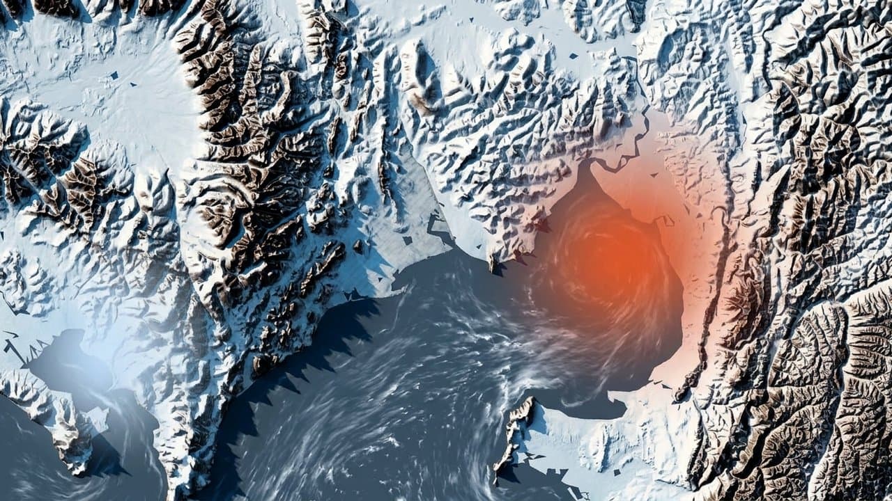
Editorial map (Gemini + Google Maps)
Bering Sea storm could send waves 5 to 9 feet above high tide at Koyuk and Elim
The National Weather Service in Fairbanks issued high surf advisories Tuesday for eastern Norton Sound and St. Lawrence Island ahead of a Bering Sea storm arriving Friday. Forecasters expect large breaking waves 5 to 9 feet above the normal high tide line at Koyuk and Elim. The same storm had already prompted high surf advisories and winter storm watches along the Arctic coast from Point Hope to Utqiagvik, Alaska News reported Oct. 20.
The eastern Norton Sound and Nulato Hills advisory runs from 4 am Friday to 4 am Monday. It forecasts waves 4 to 7 feet above high tide at Shaktoolik and 3 to 6 feet at Stebbins, St. Michael and Unalakleet, with south to southeast gusts up to 60 mph starting Friday morning. It warns of localized beach erosion and urges residents to protect property.
The St. Lawrence Island advisory, from 4 am Friday to 10 pm Sunday, forecasts 3 to 5 feet at Gambell and 2 to 3 feet at Savoonga, with gusts up to 75 mph beginning Thursday night. A high wind watch for the island, Thursday evening through Saturday afternoon, warns the wind may move debris, damage property and cause power outages.
Tuesday's forecast discussion says the front reaches St. Lawrence Island first, early Friday, then moves across the rest of the West Coast. Forecasters call the Yukon Delta and Norton Sound "the areas of most concern," expecting the highest water rises there, though some locations may see high surf rather than coastal flooding. A second storm Sunday night "may be more impactful," with more significant flooding possible from strong southwesterly flow, they wrote. Water levels for that storm had not been issued as of Wednesday morning.
Neighboring coasts are under coastal flood watches, which warn that low-lying homes, businesses and some critical infrastructure may be inundated. The watch for the Southern Seward Peninsula coast, which includes Nome, forecasts water 4 to 8 feet above normal high tide. Shishmaref, Diomede and the Bering Strait coast could see 4 to 6 feet. On the Yukon Delta coast, forecasters expect 4 to 8 feet at Hooper Bay and 2 to 6 feet elsewhere, Alaska News reported Tuesday.
Last October, during the remnants of Typhoon Halong, a coastal flood warning forecast 10 to 16 feet at Koyuk and 7 to 15 feet at Elim, Shaktoolik and Unalakleet.
Eastern Norton Sound has had four high surf advisories this year, starting in late August, and no coastal flood alert. The most recent, earlier this month, forecast 4 to 6 feet. St. Lawrence Island had no high surf or coastal flood alerts this year before this storm.
Source: National Weather Service, Surf advisory forecasts waves 5 to 9 feet above high tide at Koyuk and Elim, and 75 mph gusts on St. Lawrence Island, in Friday's Bering Sea storm.
Made by our human newsroom with AI. Reviewed by Cale Green. How humans and AI work here · Grow with our newsroom
Stay informed. Support what matters.
Free, permanent access to local news you can verify. Subscribe to support Walter AlaskaNews and go ad-free.
Related Coverage
High surf advisories, storm watches cover Arctic coast from Point Hope to Utqiagvik
Alaska News · 16h ago
A storm could raise water 4 to 6 feet at low-lying Norton Sound villages
Alaska News · 2mo ago
Flood watch warns Hooper Bay water could rise 4 to 8 feet above high tide
Alaska News · 19h ago
Storm to raise water up to 5 feet above the tide line, Golovin to Wainwright
Alaska News · 1mo ago
Water forecast 2 to 4 feet above normal high tide in Eastern Norton Sound
Alaska News · 1mo ago
Comments
Sign in to leave a comment.
No comments yet. Be the first to share your thoughts.