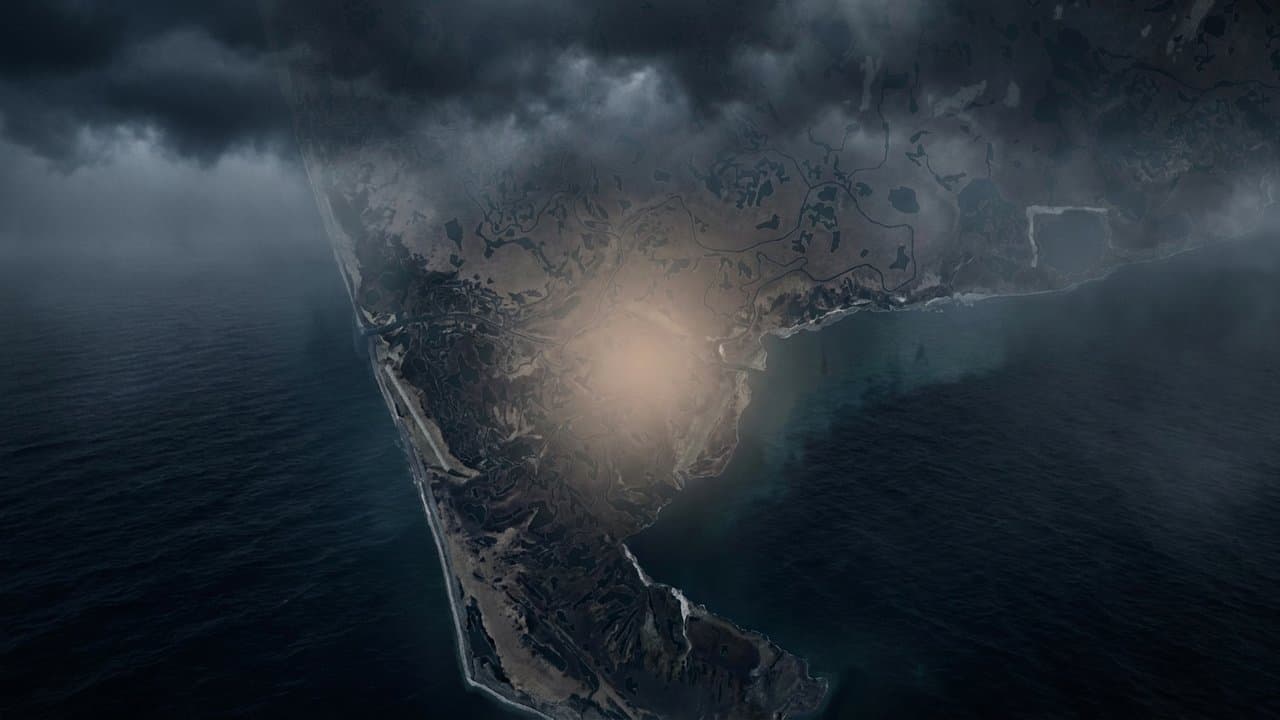
Editorial map (Gemini + Google Maps)
Flood watch warns Hooper Bay water could rise 4 to 8 feet above high tide
The National Weather Service warned Tuesday that a Bering Sea storm could push water 4 to 8 feet above the normal high tide range at Hooper Bay starting Friday. Six feet is the mean forecast, and the watch says there is considerable uncertainty in the exact peak.
"Low lying property including homes, businesses, and some critical infrastructure may be inundated," NWS Fairbanks said in its Coastal Flood Watch for the Yukon Delta Coast, in effect from 4 am Friday through 10 pm Sunday. The rest of the Yukon Delta coast could see 2 to 6 feet. Shoreline erosion may occur, and travel could be difficult.
A separate High Wind Watch for the Yukon Delta coast, from late Thursday night through Saturday afternoon, calls for southeast winds of 30 to 40 mph with gusts to 65 mph.
Fairbanks also issued flood watches for the Southern Seward Peninsula coast, including Nome, where water could rise 4 to 8 feet from late Thursday night through late Sunday night, and for Shishmaref, Diomede and the Bering Strait coast, where it could rise 4 to 6 feet through Sunday evening.
Farther south, NWS Anchorage's Coastal Flood Watch for the Kuskokwim Delta Coast and Nunivak Island, including Kipnuk and Kwigillingok, runs from 8 am Friday to 1 am Saturday, with the greatest risk near high tides around 10 am and 10 pm Friday. Water is most likely to reach 2 to 3 feet above the average high tide line there, similar to the Aug. 18, 2024 storm. "This will likely be the strongest storm of the 2026 season so far," the watch said, urging residents to have a plan in place.
An Anchorage High Wind Watch for the Kuskokwim Delta coast, Nunivak Island, the interior Kuskokwim Delta and the northern Bristol Bay coast, Friday morning through Saturday morning, calls for 35 to 50 mph winds with gusts up to 70 mph. Forecasters warned of property damage, power outages and hazardous travel.
The storm comes from a strong low near Russia's Kamchatka Peninsula. The NWS Fairbanks forecast discussion names the Yukon Delta and Norton Sound as the areas of most concern and expects another storm Sunday night that may be more impactful, possibly turning into a long-duration coastal flooding event.
This is the Yukon Delta coast zone's first Coastal Flood Watch of 2026, according to the Iowa Environmental Mesonet's archive. An Oct. 8 advisory for the same zone had forecast 4 to 6 feet near Hooper Bay.
For the remnants of Typhoon Halong in October 2025, forecasters had called for 5 to 10 feet on the Yukon Delta coast and 3 to 6 feet on the Kuskokwim coast. Kipnuk and Kwigillingok were still rebuilding from Halong in late August, Alaska News reported Aug. 27.
Source: National Weather Service, Forecasters warn Hooper Bay could see water 4 to 8 feet above normal high tide in Friday's Bering Sea storm; flood and wind watches cover the Yukon and Kuskokwim delta coasts.
Made by our human newsroom with AI. How humans and AI work here · Grow with our newsroom
Stay informed. Support what matters.
Free, permanent access to local news you can verify. Subscribe to support Walter AlaskaNews and go ad-free.
Related Coverage
Coastal flood advisory warns of water 4 to 6 feet above high tide near Hooper Bay
Alaska News · 1w ago
NWS tracks Bering Sea low that could raise Yukon Delta water 1 to 3 feet
Alaska News · 4w ago
A storm could raise water 4 to 6 feet at low-lying Norton Sound villages
Alaska News · 1mo ago
Choi-Wan remnants could push water 4 to 6 feet above high tide on Bering Strait coast
Alaska News · 2w ago
Storm to raise water up to 5 feet above the tide line, Golovin to Wainwright
Alaska News · 1mo ago
Comments
Sign in to leave a comment.
No comments yet. Be the first to share your thoughts.