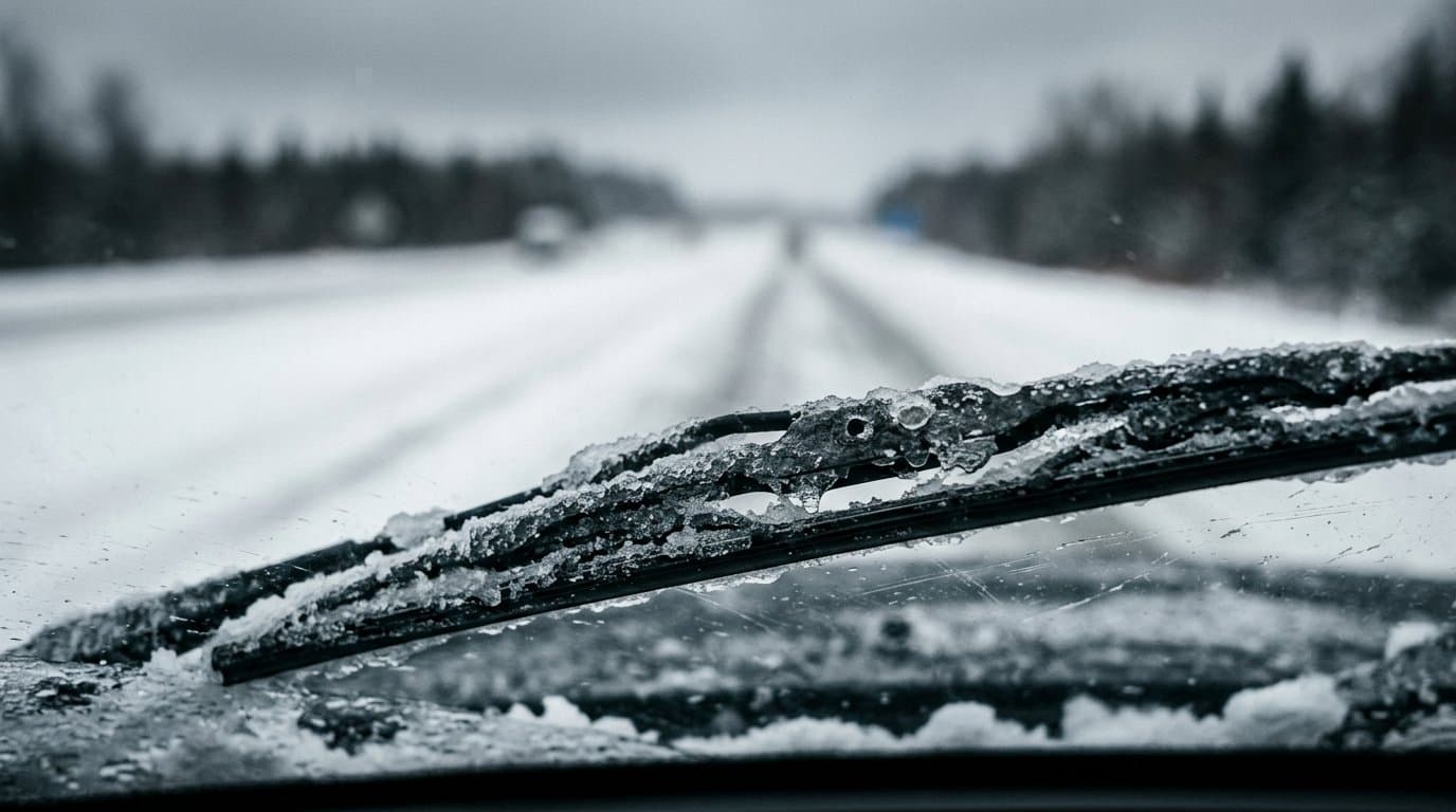
AI image
Winter storm could drop up to 3 feet in Isabel Pass, with Fairbanks totals uncertain
A winter storm is forecast to drop 2 to 3 feet of snow on Isabel Pass and a foot or more on parts of the Alaska Highway this week, and the National Weather Service in Fairbanks upgraded its winter storm watches to warnings Sunday afternoon for much of the eastern Interior.
Isabel Pass is where the Richardson Highway crosses the Alaska Range between Delta Junction and Paxson. Forecasters expect 18 to 36 inches above 2,500 feet in the Eastern Alaska Range and 12 to 24 inches below, from 7 am Monday to 4 am Thursday, according to the warning. Travel there "could be very difficult to impossible," it says.
Snow could fall at more than an inch an hour at times Monday night through Tuesday night. "The heaviest will be in Isabel Pass where we might be measuring snow in feet," forecasters wrote in their Sunday discussion.
Before the snow, south winds gusting up to 65 mph are expected in the eastern Alaska Range north of Trims Camp from midnight Sunday to 10 pm Monday, strongest in Isabel Pass.
In Delta Junction, the Fortymile Country and the Upper Tanana Valley, a warning from 10 pm Monday to 4 pm Wednesday calls for 6 to 12 inches. Between Tanacross and Dot Lake along the Alaska Highway, 12 to 18 inches is possible, while Northway to the Canadian border could see 2 to 5. Wind gusts to 35 mph could blow snow and cut visibility.
North of Fairbanks, the Upper Chena River Valley, the southern and eastern Yukon Flats, the White Mountains and Eagle Summit are under a warning for 5 to 10 inches from Tuesday morning to Wednesday afternoon, with the most southeast of Fort Yukon.
Fairbanks is the hardest call. The Fairbanks North Star Borough and Nenana remain under a watch for 4 to 8 inches Tuesday morning through Wednesday afternoon, but forecasters said they're leaning toward the heaviest snow falling near Eielson, with less in Fairbanks. "A 30 mile change east or west will result in drastic differences," the watch says. Some forecast guidance shows 6 to 8 inches at Eielson and about 2 in Fairbanks.
The Denali Borough is also under a watch for 6 to 12 inches, with more above pass level. Healy could top 6 inches while Anderson gets only a few, forecasters said.
The weather service advises drivers to carry a flashlight, food, water and warm clothing, and to check road conditions at 511.alaska.gov.
Source: Winter storm warnings for Delta Junction, the Upper Tanana and Isabel Pass Monday through Wednesday; Fairbanks under a watch for 4 to 8 inches.
Made by our human newsroom with AI. Reviewed by Cale Green. How humans and AI work here · Grow with our newsroom
Stay informed. Support what matters.
Free, permanent access to local news you can verify. Subscribe to support Walter AlaskaNews and go ad-free.
Related Coverage
Up to 6 inches of snow possible in Isabel Pass by Wednesday night
Alaska News · 2w ago
Up to 11 inches of snow expected on Richardson Highway through Isabel Pass
Alaska News · 2w ago
Snow and 40 mph gusts are forecast for the Richardson Highway on the last day of August
Alaska News · 1mo ago
Up to 5 inches of snow and 40 mph gusts forecast for Dalton and Steese summits
Alaska News · 3d ago
Winter storm warning brings up to 14 inches of snow to the Noatak Valley through Saturday
Alaska News · 1w ago
Comments
Sign in to leave a comment.
No comments yet. Be the first to share your thoughts.