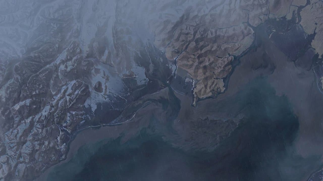
Editorial map (Gemini + Google Maps)
Advisory forecasting 4- to 6-foot water rise at Elim, Koyuk expires
A National Weather Service high surf advisory forecasting water 4 to 6 feet above the normal high tide line in Eastern Norton Sound and the Nulato Hills expired at 4 am Saturday.
The weather service's Fairbanks office named Elim and Koyuk for the highest water in the advisory, peaking at high tide. It warned of localized beach erosion and said residents should take precautions to protect property.
The same office forecast 2 to 4 feet above normal high tide for Shishmaref, Kivalina, Red Dog Dock, the Northern Seward Peninsula and the Western Arctic Coast south of Point Hope. Most of those areas came under the advisory Thursday morning. The Northern Seward Peninsula came under it Thursday afternoon.
Forecasters classified the advisory's severity as minor. A low in the Western Bering Sea sent a front east toward the coast, and south to southeast winds picked up Thursday through Friday. Water stayed elevated through Friday and subsided Friday night into Saturday.
The U.S. Geological Survey has published modeled flood and erosion hazard data for Elim. A state climate impact assessment describes future risk as repetitive and worsening flooding, with permafrost thaw and reduced Arctic sea ice increasing exposure to fall and winter storm surges.
Sea ice in the Chukchi Sea now forms 35 days later than it did in the 1970s, according to USDA Climate Hubs. The same federal material says ice once formed by early October and buffered Western Alaska against autumn storms.
Assembled from public records the newsroom collected.
Made by our human newsroom with AI. Reviewed by Cale Green. How humans and AI work here · Grow with our newsroom
Stay informed. Support what matters.
Free, permanent access to local news you can verify. Subscribe to support Maggie AlaskaNews and go ad-free.
Related Coverage
A storm could raise water 4 to 6 feet at low-lying Norton Sound villages
Alaska News · 1mo ago
NWS forecasts water 5 feet above high tide at Golovin through Friday
Alaska News · 4w ago
Water could rise again along the Eastern Norton Sound coast Saturday morning
Alaska News · 1mo ago
Kwigillingok, Kongiganak forecast for highest water in surf advisory
Alaska News · 3h ago
Water forecast 2 to 4 feet above normal high tide in Eastern Norton Sound
Alaska News · 1mo ago
Comments
Sign in to leave a comment.
No comments yet. Be the first to share your thoughts.