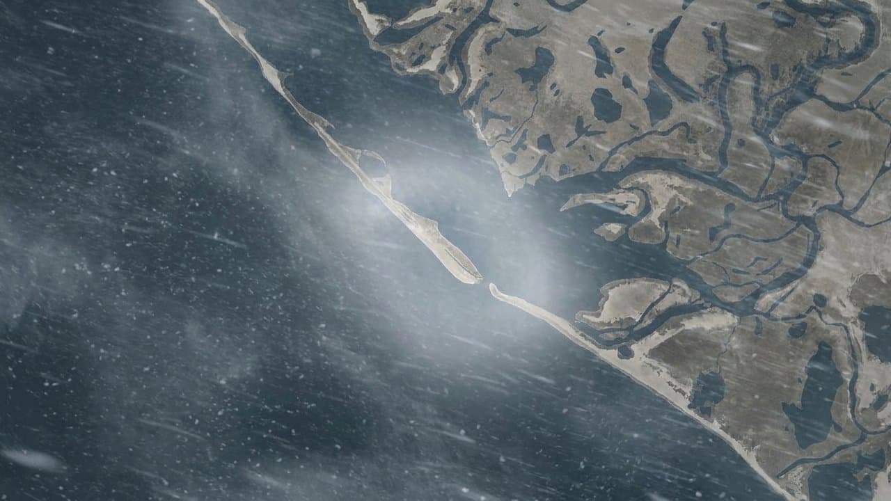
Editorial map (Gemini + Google Maps)
A strong Bering Sea storm could bring coastal flooding to western Alaska Friday
A strong storm moving into the Bering Sea this week could bring coastal flooding, erosion and gusts up to 60 mph to much of Alaska's West Coast starting Friday, the National Weather Service in Fairbanks said Tuesday.
The strongest gusts are most likely Friday morning into Friday afternoon, generally 45 to 70 mph, forecasters wrote in a forecast discussion Tuesday morning. Most models point to gusts up to 60 mph for most of the coast, and Point Hope, the western Seward Peninsula and St. Lawrence Island could see especially strong winds.
Water could rise above the normal high tide line Friday and stay high through much of the weekend, depending on the storm's track, speed and strength, forecasters said. Concerns about flooding and erosion stretch across nearly all of the West Coast, from the Yukon-Kuskokwim Delta north. No coastal watches or warnings had been issued as of Tuesday morning.
The storm is also expected to bring snow inland, especially at higher elevations in the Western and Central Brooks Range, the Nulato Hills, the Ray Mountains and the interior Seward Peninsula.
More could follow. Another low could arrive late Sunday into Monday, and forecasters said models hint at a third later next week.
The storm follows a weekend of rain and snow across western Alaska. A special weather statement Sunday called for 3 to 6 inches of slushy snow and gusts to 40 mph at Kivalina and Red Dog Dock through Monday afternoon.
It also arrives late in the fuel delivery season. At the Oct. 15 Nome Port Commission meeting, a port report said deliveries there would likely run until around Oct. 25 to 27, the latest the port has done.
Source: National Weather Service.
Made by our human newsroom with AI. Reviewed by Cale Green. How humans and AI work here · Grow with our newsroom
Stay informed. Support what matters.
Free, permanent access to local news you can verify. Subscribe to support Maggie AlaskaNews and go ad-free.
Related Coverage
High surf and minor flooding for Alaska's west coast through Thursday
Alaska News · 2mo ago
Water forecast 2 to 4 feet above normal high tide in Eastern Norton Sound
Alaska News · 1mo ago
Storm to raise water up to 5 feet above the tide line, Golovin to Wainwright
Alaska News · 1mo ago
A storm could raise water 4 to 6 feet at low-lying Norton Sound villages
Alaska News · 1mo ago
Choi-Wan remnants could push water 4 to 6 feet above high tide on Bering Strait coast
Alaska News · 2w ago
Comments
Sign in to leave a comment.
No comments yet. Be the first to share your thoughts.