
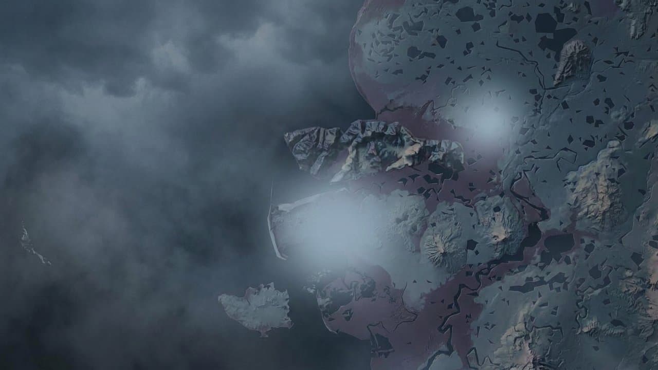
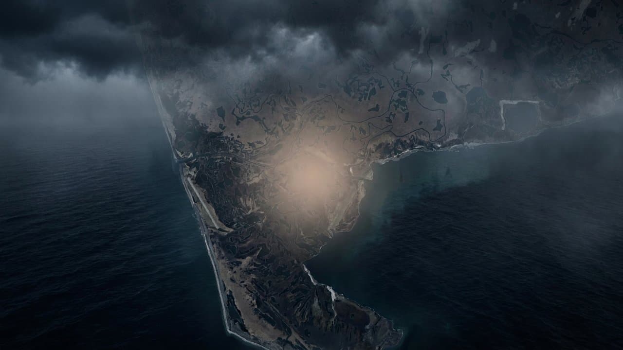
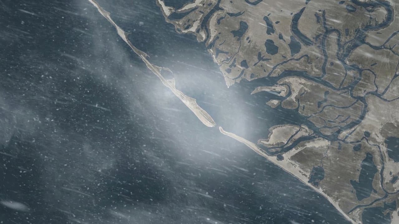
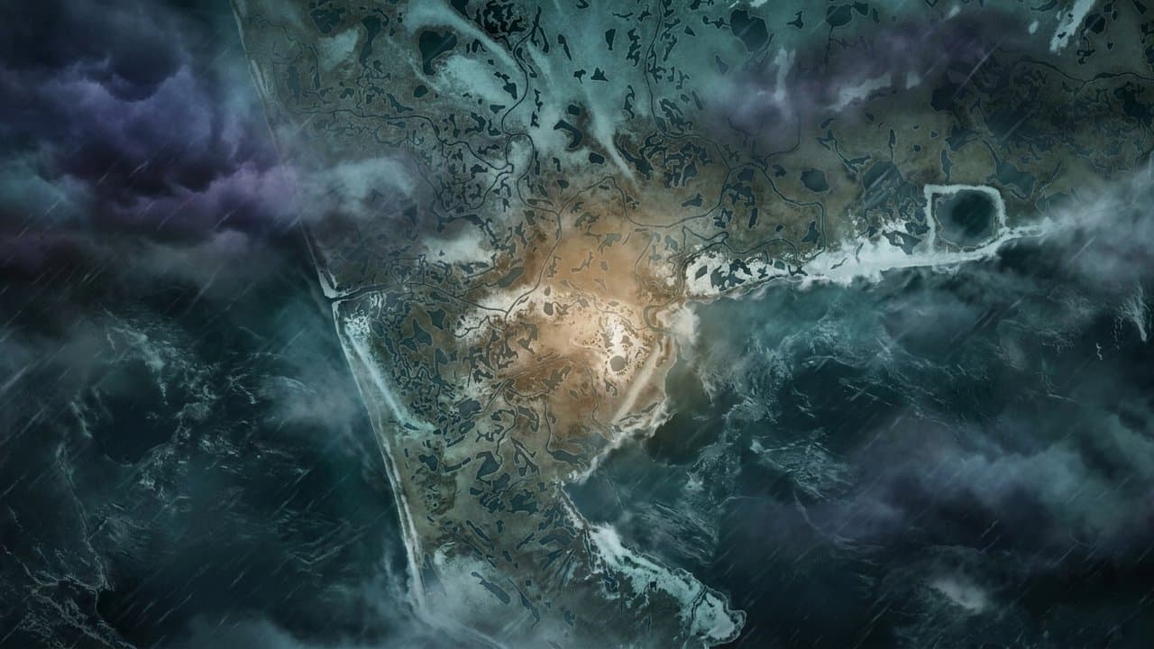
AI image
Hooper Bay could see water 4 to 6 feet above high tide as a storm nears Western Alaska
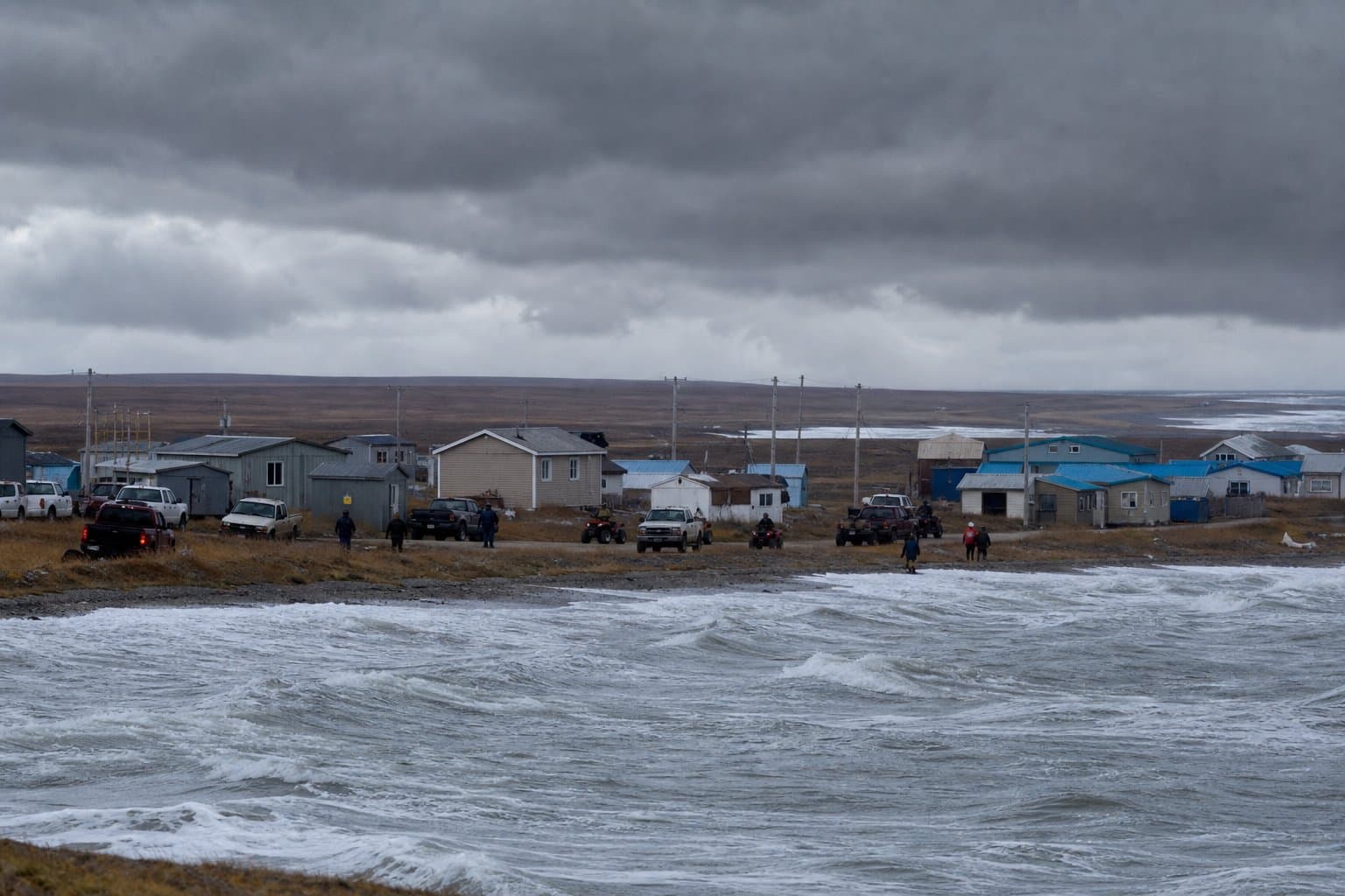
Water could rise 4 to 6 feet above the normal high tide at Hooper Bay on Wednesday as a storm moves into Western Alaska, the National Weather Service in Fairbanks warned Monday.
Moderate coastal flooding is likely there, the weather service said in a coastal flood warning that runs from 3 am Wednesday to 3 pm Thursday. Low-lying homes, businesses and some critical infrastructure could be flooded, roads could close and airstrip use could be limited. Hooper Bay will see two high tides Wednesday, and the second is expected to be slightly higher.
Elsewhere along the Yukon Delta coast, water could rise 2 to 4 feet above high tide. Southeast winds could gust to 55 mph.
Hooper Bay flooded last month, when an October storm put water over roads there and in Teller and Wales.
Other warnings and advisories cover much of the region:
St. Lawrence Island: A blizzard warning runs from 3 pm Tuesday to 3 pm Thursday, with gusts to 70 mph, 2 to 5 inches of snow and visibility below a quarter mile at times. Strong winds could knock out power.
Lower Yukon River and Yukon Delta coast: A winter storm warning runs from 9 pm Tuesday to 3 pm Thursday, with 2 to 5 inches of snow, gusts to 55 mph and possible periods of blizzard conditions. Rain may mix in Wednesday and Thursday.
Southern Seward Peninsula coast: A winter storm warning runs from 3 am Wednesday to 3 pm Friday, with 1 to 4 inches of snow and 4 to 8 inches in some spots, plus gusts to 55 mph. Water could rise 4 to 6 feet above high tide there, with beach erosion possible.
Bering Strait coast, Norton Sound and Kotzebue Sound areas: Winter weather advisories call for snow and gusts of 45 to 55 mph, and high surf advisories warn of water 2 to 5 feet above high tide from Shishmaref and Kivalina to eastern Norton Sound.
Inland, the weather service expects 2 to 4 inches of snow, and up to about 6 inches on higher ground, across the Western Interior from Tuesday night through Wednesday night, with gusts to 35 mph. Its special weather statement covers communities from Ambler and Shungnak to Galena, Holy Cross and McGrath, and says snow and blowing snow could cut visibility below a mile at times.
In the Alaska Range, a high wind warning for the area north of Trims Camp, on the Richardson Highway, calls for gusts up to 80 mph from late Tuesday night through Thursday afternoon, and a wind advisory for Windy Pass, on the Parks Highway, calls for gusts up to 65 mph. Winds that strong could make driving difficult, especially for high-profile vehicles, forecasters said.
What did you make of this story? (no account needed)
Made by our human newsroom with AI. Reviewed by Cale Green. How humans and AI work here · Grow with our newsroom ·
Get Alaska News in your inbox
Create your free account and get the day’s top stories around 6 each morning, in a few minutes’ read.
Top stories, around 6 each morning.
Stories on what you follow, on Sundays.
Source: National Weather Service.








Comments
Sign in to leave a comment.
No comments yet. Be the first to share your thoughts.