AI image
Winter storm watch warns of possible 70 mph gusts in Turnagain Arm and Whittier
The National Weather Service in Anchorage issued a winter storm watch Saturday night for East Turnagain Arm, Portage, Whittier, Turnagain Pass, the Southern Kenai Mountains, the Interior Kenai Peninsula and Western Prince William Sound. The watch warns that easterly winds of 55 to 70 mph are possible in Eastern Turnagain Arm Tuesday morning. The watch runs from 10 am Monday through 4 pm Tuesday.
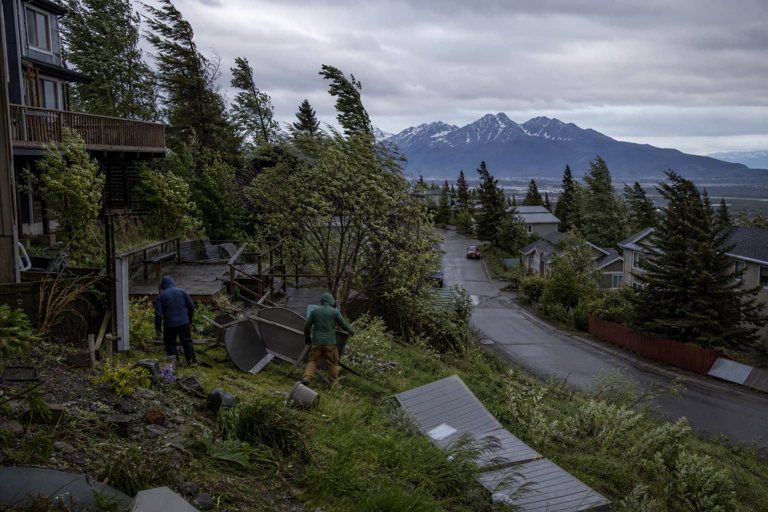
The overnight version of the watch said winds that strong could cause extensive damage to trees and power lines and could affect the Monday evening and Tuesday morning commutes. The weather service also says travel could become very difficult, with visibility significantly reduced in heavy snow.
Whittier, Eastern Turnagain Arm, Girdwood and the stretch from Moose Pass to north of Seward can expect 3 to 7 inches of snow. The watch calls for 5 to 10 inches from Turnagain Pass to Tern Lake, including the Hope Cutoff, with up to a tenth of an inch of ice from the Hope Cutoff to Hope.
Light snow is expected to begin Monday morning, turn steady by late afternoon and fall heavily at times Monday night into early Tuesday. East winds off Prince William Sound will push through Whittier and across Eastern Turnagain Arm, quickly changing snow to rain at lower elevations. At higher elevations, the snow may become a wintry mix of snow, sleet and freezing rain before changing to rain. The weather service warns that rain could bring slush and ponding on roads.
The watch also covers Thompson Pass, where blizzard conditions are possible, with 6 to 12 inches of snow, gusts to 45 mph and visibility as low as a quarter mile in blowing snow.
Winter weather advisories run from noon Monday to 3 pm Tuesday for Anchorage and the Lower Matanuska Valley, with up to 3 inches of snow, up to a tenth of an inch of ice and gusts to 50 mph in parts of the valley. Snow there is likely to start Monday afternoon, mix with freezing rain Monday evening or early Tuesday and possibly turn to rain around midday Tuesday. Forecasters say the timing of that change is highly uncertain, and a later switch could mean more snow. Roads, especially bridges and overpasses, will likely become slick.
A separate advisory for the Anchorage Hillside and Eagle River calls for 2 to 8 inches of snow and gusts to 60 mph, mainly on the southern Hillside, and warns that strong winds could damage trees and power lines. An advisory for the western Kenai Peninsula, running from noon Monday to noon Tuesday, calls for 1 to 8 inches of snow.
Forecasters expect the storm to wind down Wednesday, as steady precipitation tapers to showers. Drivers can call 511 or visit 511.alaska.gov for road conditions.
What did you make of this story? (no account needed)
Made by our human newsroom with AI. How humans and AI work here · Grow with our newsroom ·
Get Alaska News in your inbox
Create your free account and get the day’s top stories around 6 each morning, in a few minutes’ read.
Top stories, around 6 each morning.
Stories on what you follow, on Sundays.
Assembled from public records the newsroom collected.









Comments
Sign in to leave a comment.
No comments yet. Be the first to share your thoughts.