
AI image
Weather service warns ice in culverts could push water over roads near Nome
The National Weather Service in Fairbanks renewed a hydrologic outlook Tuesday afternoon for streams between Nome and Council, warning that ice in culverts could send water over roads. The outlook runs until 4 pm Wednesday and covers the Southern Seward Peninsula Coast and Interior Seward Peninsula. Forecasters are most concerned about streams and rivers draining the south side of the peninsula's high terrain.
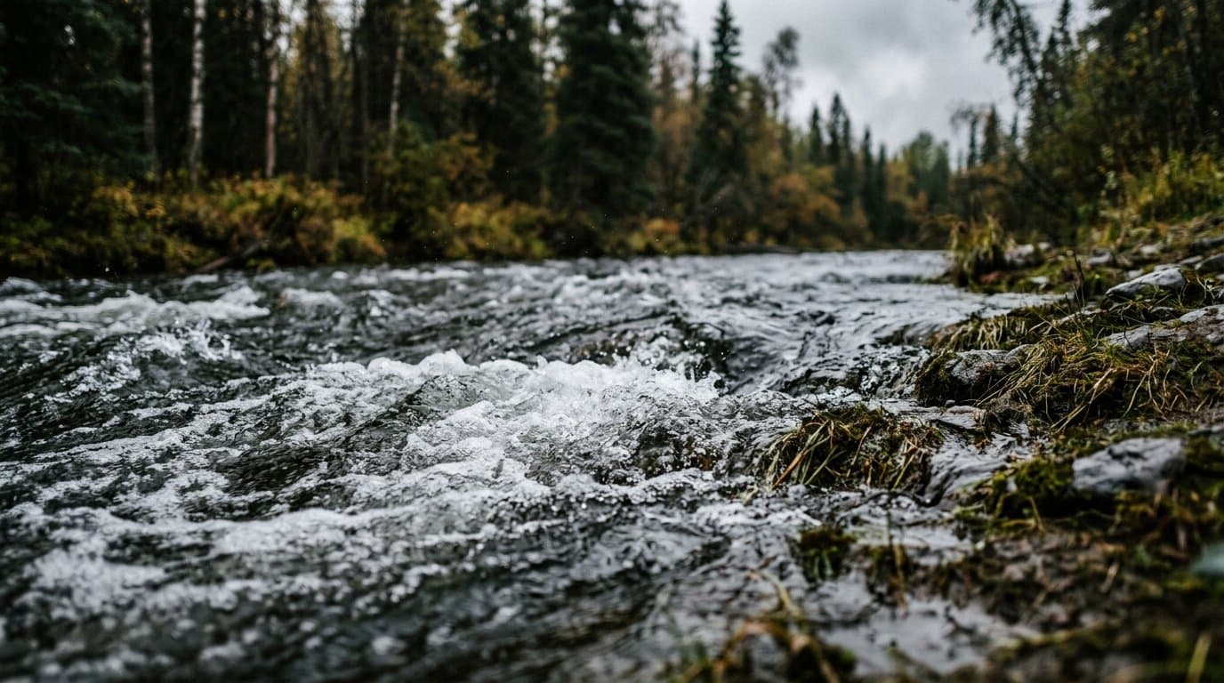
Area rivers and streams are already high after weekend rain. The storm began as snow: a trained spotter measured 6 inches in Nome on Oct. 23 before it turned to rain that evening. Forecasters expect 1 to 3 more inches of precipitation by the end of the week, which they said will keep water levels high.
"No flooding is expected at this time," the weather service said. But ice in culverts and other stream passage structures could restrict flow and push water across roads, the outlook said, and residents living near local rivers and streams should watch for it.
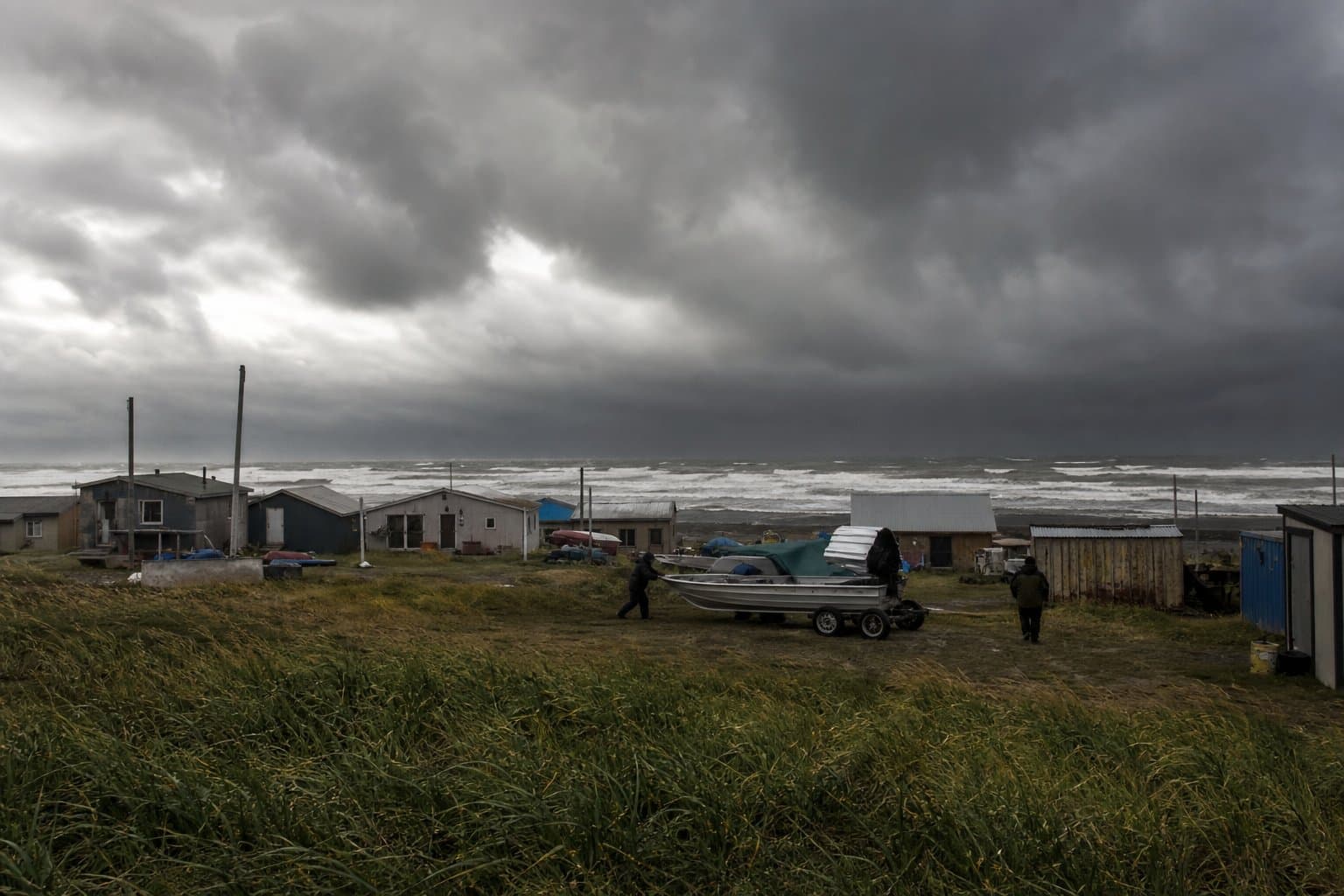
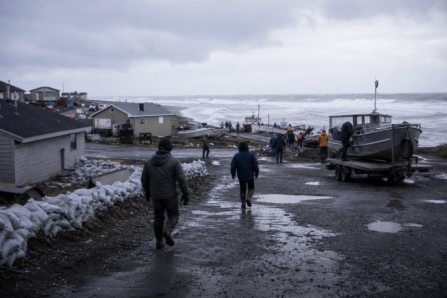
More wet weather is on the way. The office's forecast discussion says repeated rounds of moderate to heavy precipitation will keep rivers and streams along the West Coast and Seward Peninsula high through the week, "with the highest hydrologic impacts focused near Nome." The remnants of Typhoon Champi are expected to bring high surf, gusty winds and moderate to at times heavy rain to exposed parts of the West Coast Thursday into Friday as the storm tracks into the Bering Sea.
The corridor has its own flood history. Permanent repairs began this fall on stretches of the Nome-Council Highway that ex-Typhoon Merbok tore up in 2022.
Source: National Weather Service.
Made by our human newsroom with AI. How humans and AI work here · Grow with our newsroom
Stay informed. Support what matters.
Free local news you can verify. Support Maggie AlaskaNews and go ad-free.





Comments
Sign in to leave a comment.
No comments yet. Be the first to share your thoughts.