AI image
To understand today's coastal flooding, a UAF scientist will study an ancient one
The last time the sea drowned the coast of western Alaska, it swallowed an entire subcontinent — the Bering Land Bridge, the highway that once carried humans, animals and plants between Asia and North America.
A University of Alaska Fairbanks researcher is about to spend two years reading the record that drowning left behind, and the reason is anything but ancient: the same coast is flooding again, and the past is the closest thing to a forecast.
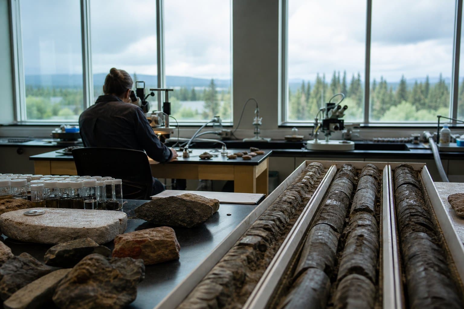
Beginning Aug. 1 under a $462,771 National Science Foundation grant, postdoctoral researcher Jessica DePaolis will reconstruct how and when the land bridge went under — a story that's largely a mystery, because the evidence now sits beneath the Bering Sea. Her tool is the diatom: microscopic algae, preserved by the billions in seafloor sediment, whose species act as fingerprints of the ancient water they lived in. By matching fossil diatoms to modern ones, she can trace the moment freshwater land gave way to advancing ocean.
That transition — from dry ground more than 20,000 years ago, when the sea stood some 120 meters lower, to open water — is the same kind of shift now threatening the region's coastal communities. Understanding the old flood, the project's stated payoff goes, sharpens the picture of the new one.
Source: National Science Foundation, National Science Foundation: NSF Award [GWF-Geosciences Workforce] → University of Alaska Fairbanks Campus: Postdoctoral Fellowship: EAR-PF: Reconstructing the Last Environments of the Bering Land Bridge (PI: Jessica DePaolis) ($ ().
AI-assisted. No editor review is on record for this article. Who is accountable.
Stay informed. Support what matters.
Free, permanent access to local news you can verify. Subscribe to support Melinda Communities.News and go ad-free.
Related Coverage
UAF will study the landslides thawing under Alaska's pipeline
Alaska News · 4w ago
UAF scientist gets $300K to unlock permafrost's carbon time bomb
Alaska News · 3mo ago
As melting ice opens the Arctic to more ships, a UAA scientist studies how a spill would behave
Alaska News · 1mo ago
As Alaska's glaciers retreat, new carbon-storing bogs are forming behind them
Alaska News · 1mo ago
NSF awards UAF $1.77 million to build AI geohazard forecasting tools
Alaska News · 2mo ago
Comments
Sign in to leave a comment.
No comments yet. Be the first to share your thoughts.