AI image
UAF's satellite water-depth mapping wins NSF money to test whether it can become a product
A University of Alaska Fairbanks effort to map water depth from satellite imagery drew a $50,000 award from the National Science Foundation on Aug. 19 to test its commercial potential. The award, with Erin D. Trochim as principal investigator, comes through I-Corps, the NSF program that helps move lab research toward the marketplace.
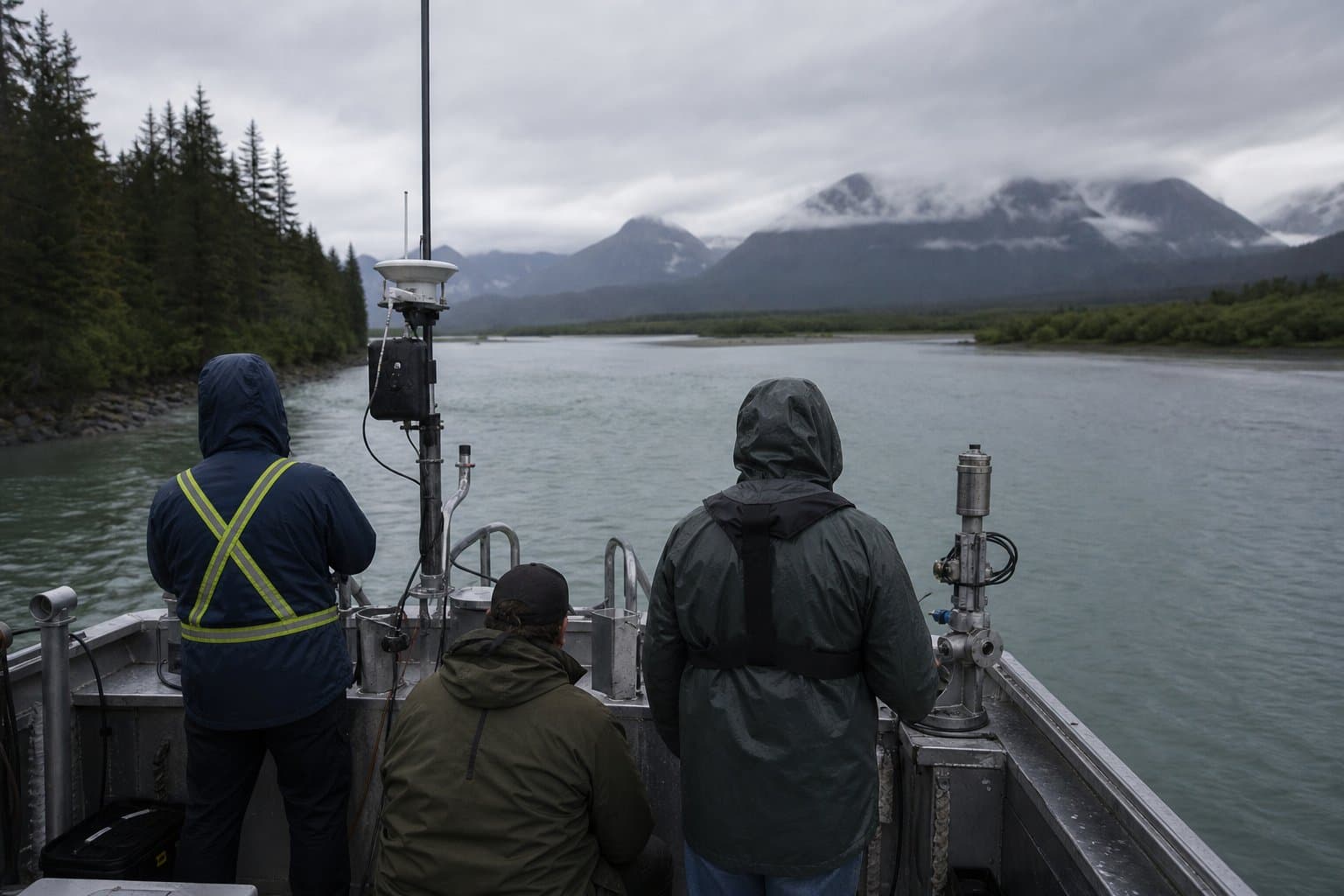
According to the NSF award abstract, the framework uses physics-informed neural networks, models that build known physical laws into their structure, to map bathymetry (underwater depth and terrain) across coastal, river and lake systems, deriving river depth and velocity from satellite data. The system flags how reliable each prediction is, and it holds sub-meter accuracy in murky water, where satellite-based methods have historically struggled.
Nearly half of U.S. waters remain unmapped to modern standards, the abstract states, and ship- and aircraft-based surveys are too costly and slow to close that gap. The technology's intended uses include flood forecasting, coastal engineering and navigation, with automated updates after major storms, for government agencies, engineering firms and environmental data providers.
At the 2022 Alaska Coastal and Ocean Mapping Summit, where Trochim presented, Alaska mapping practitioners identified data processing capacity and expertise gaps as needs standing alongside the demand for new technology itself.
Source: National Science Foundation, National Science Foundation: NSF Award [I-Corps] → University of Alaska Fairbanks Campus: I-Corps: Translation Potential of Explainable Artificial Intelligence (AI) for Satellite-Derived Nearshore Bathymetry and River Profiles (P.
AI-assisted. How we use AI
Stay informed. Support what matters.
Free, permanent access to local news you can verify. Subscribe to support Melinda Communities.News and go ad-free.
Related Coverage
NSF awards UAF $1.77 million to build AI geohazard forecasting tools
Alaska News · 2mo ago
NSF awards UAF $877,501 for mass spectrometer to support fisheries and minerals research
Alaska News · 2mo ago
NSF backs UAF-led critical minerals coalition with $15 million
Alaska News · 2mo ago
Alaska won up to $160M to hunt critical minerals with AI and microbes
Alaska News · 2mo ago
A federal minerals program is funding science on the seafloor mining wants to dig
Alaska News · 2mo ago
Comments
Sign in to leave a comment.
No comments yet. Be the first to share your thoughts.