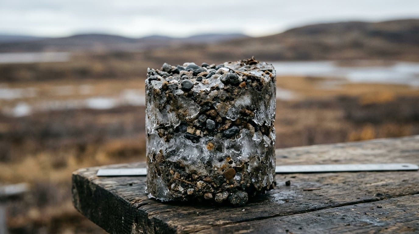
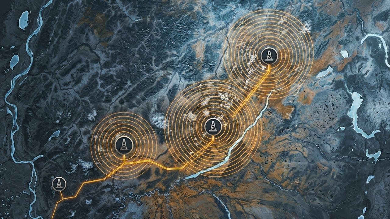
AI image
State catalogs 1970s drill notes from 26,000 NPR-A holes to help find North Slope gravel
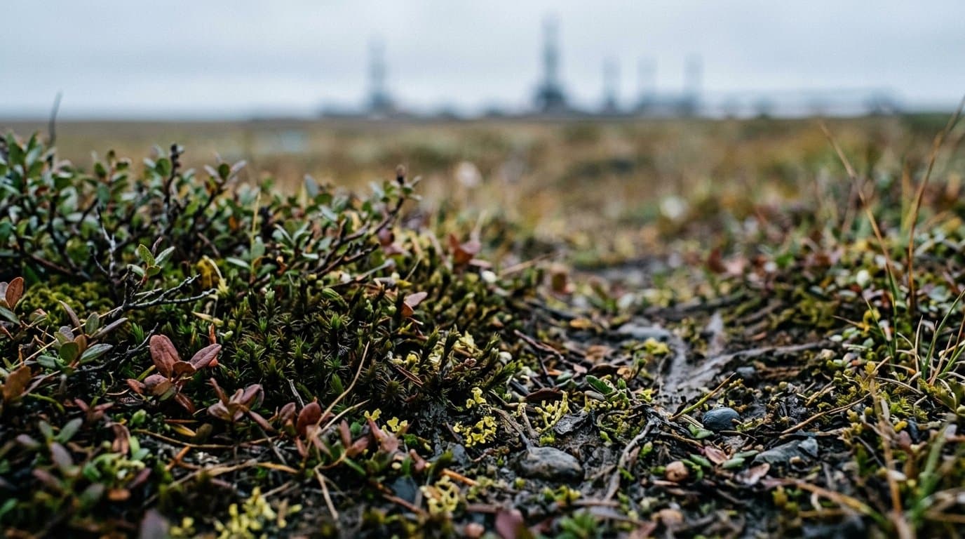
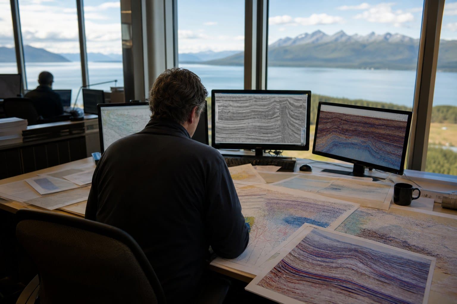
The state has released an updated catalog of notes and photos from about 26,000 holes drilled for federal seismic surveys across the National Petroleum Reserve-Alaska in the 1970s, to help find sand and gravel and plan infrastructure on the North Slope.
The Alaska Division of Geological & Geophysical Surveys says the records are a regional picture of what lies just below the tundra, one that "would be cost prohibitive to replicate," according to the catalog's description.
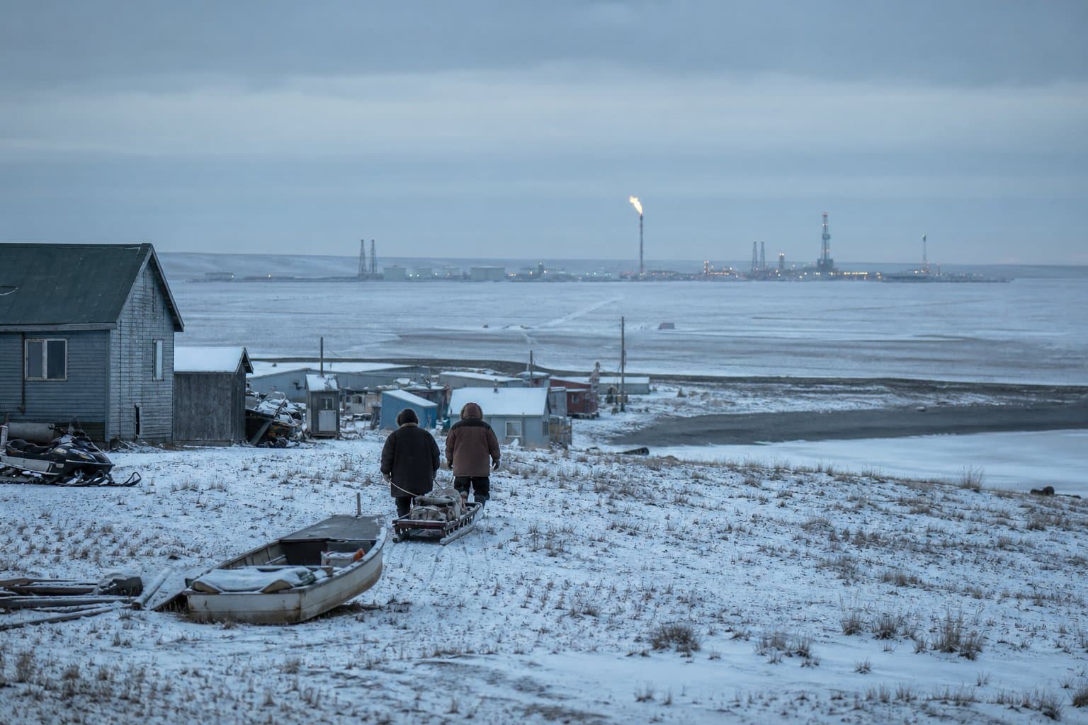
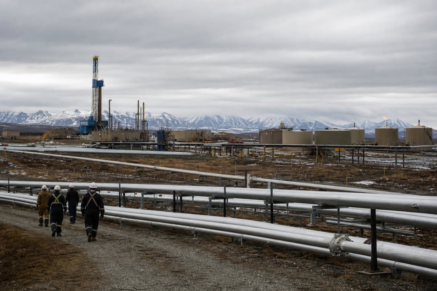
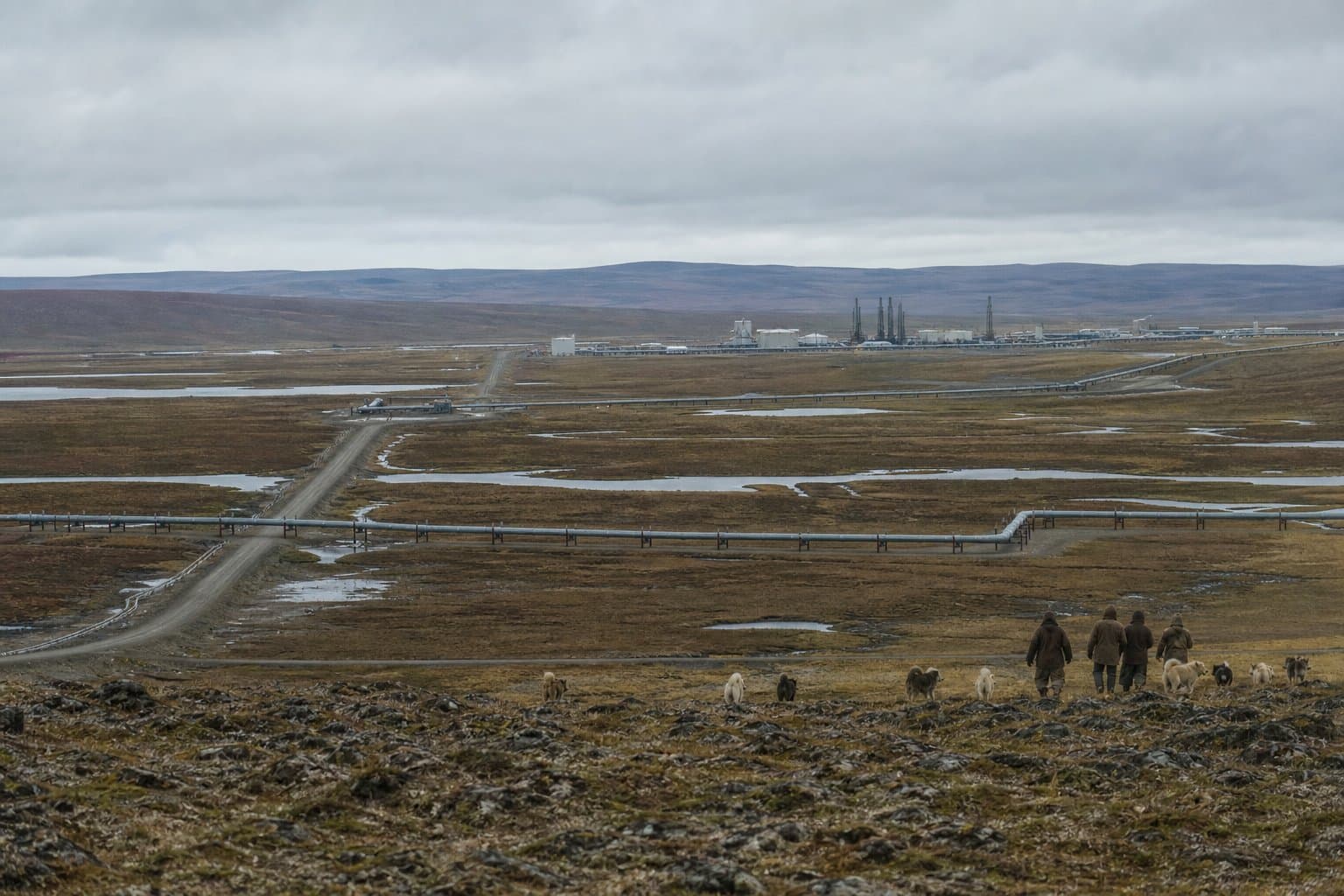
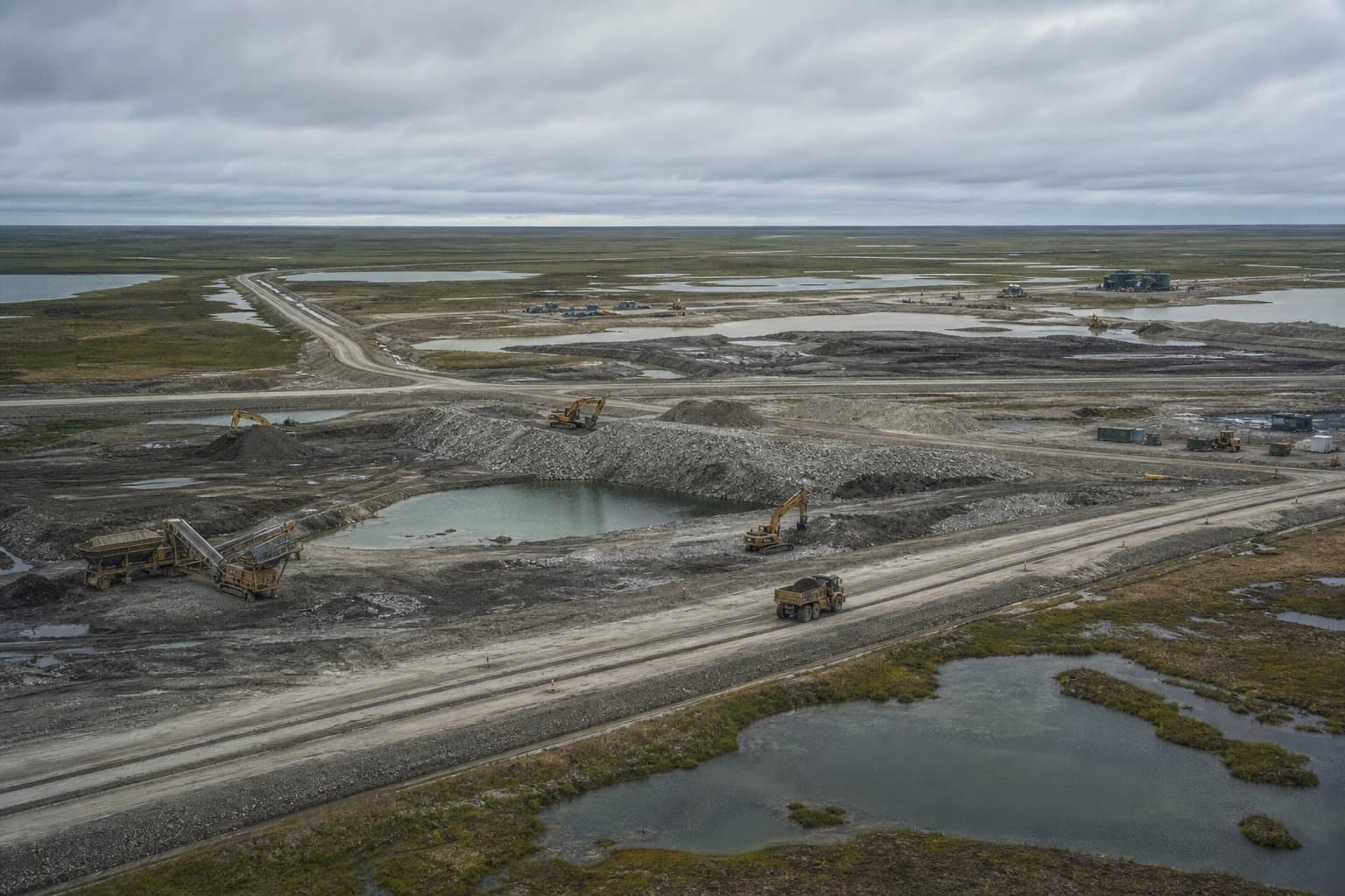
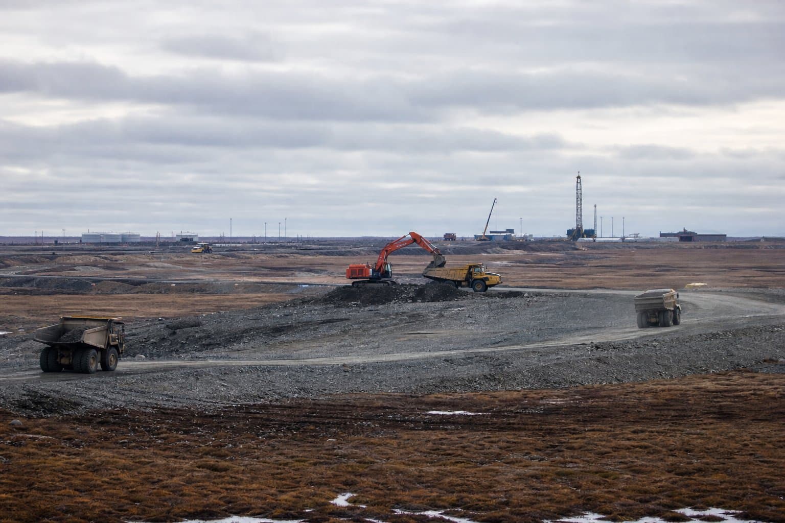
Gravel matters on the North Slope. Oil development there is built on it, and Hilcorp said in September the region is running short.
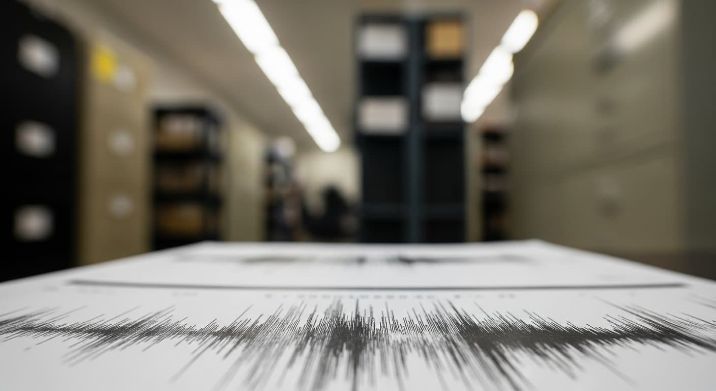
Shotholes hold the charges used in seismic surveys. About 99,850 of them, up to 175 feet deep, were drilled across NPR-A, according to U.S. Geological Survey data. The ones in the catalog were drilled from 1974 to 1981.
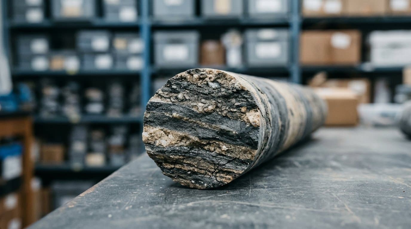
The catalog holds transcribed drill-card data and driller notes, along with photographs of the samples. The records describe permafrost, gravel, sand, shale and coal across 13 map areas, including Barrow, Wainwright, Umiat, Teshekpuk and Howard Pass.
The division cautions that the old records can't support quantitative modeling. But it calls them a starting point for further investigation and infrastructure planning.
The work dates to the reserve's second round of exploration, which began under the Navy and was later coordinated by the USGS. A 1976 federal law moved the 23-million-acre reserve, which stretches from the Brooks Range to the Arctic coast, from the Navy to the Interior Department.
The catalog replaces a 2025 version. It was funded through the state's Arctic Strategic Transportation and Resources project, with help from a Bureau of Land Management grant, and is free to download.
What did you make of this story? (no account needed)
Made by our human newsroom with AI. Reviewed by Cale Green. How humans and AI work here · Grow with our newsroom ·
Get Alaska News in your inbox
Create your free account and get the day’s top stories around 6 each morning, in a few minutes’ read.
Top stories, around 6 each morning.
Stories on what you follow, on Sundays.
Source: Alaska Division of Geological & Geophysical Surveys, Alaska Division of Geological & Geophysical Surveys: Catalog of drill log cards and sample images from USGS seismic shothole sites in the National Petroleum Reserve - Alaska (1974-1981).



Comments
Sign in to leave a comment.
No comments yet. Be the first to share your thoughts.