Buried under the Kenai refuge: seismic data on a stranded Cook Inlet gas find is about to go public
As Southcentral Alaska worries about running short of natural gas, this dataset is worth a second look: it maps the ground beneath a Cook Inlet gas discovery that was never developed.
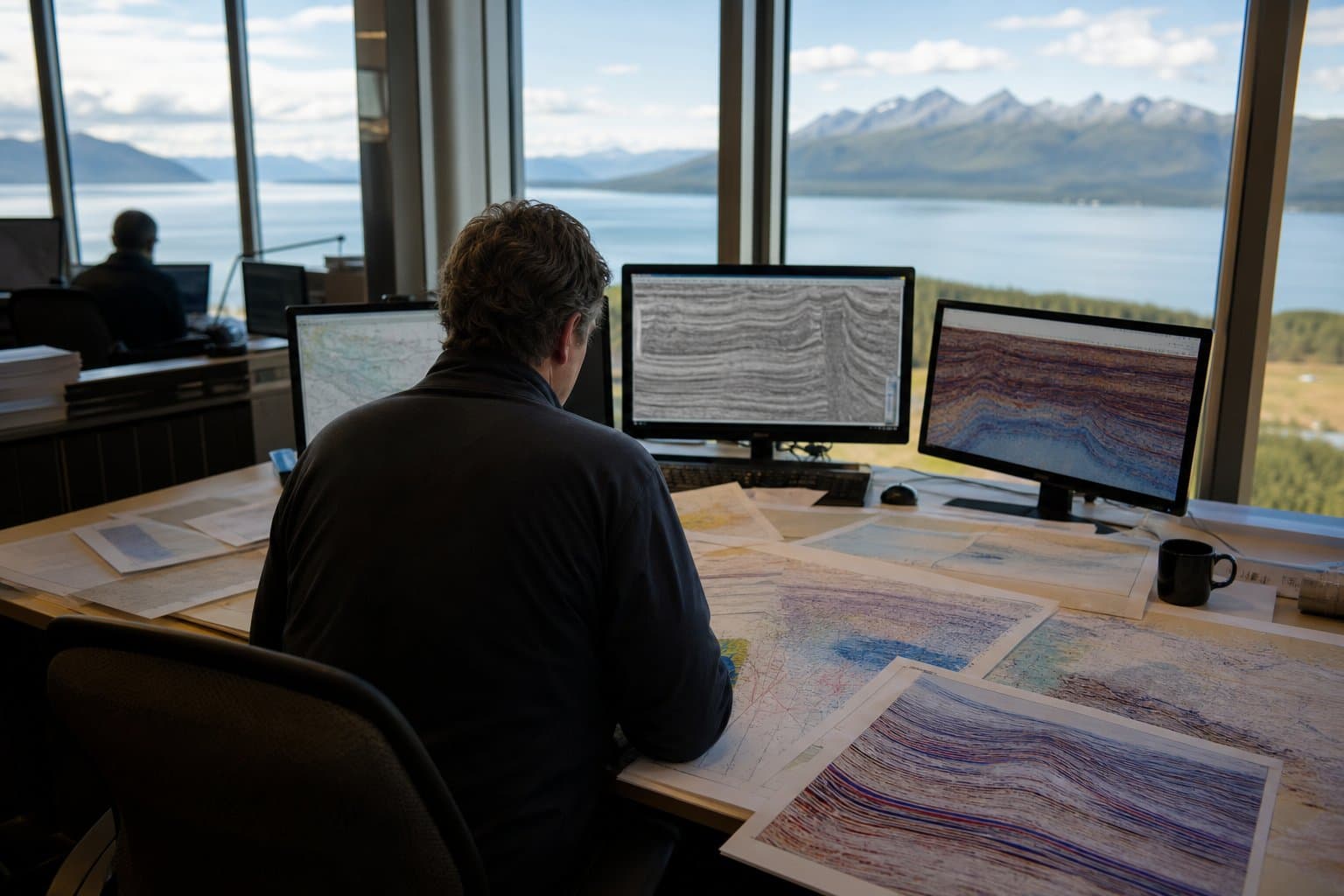
The 2D and 3D seismic, shot in 2016 by SAExploration, covers the Shadura prospect on the northern Kenai Peninsula, a few miles northeast of Nikiski. Shadura is a known onshore gas find — Cook Inlet Region Inc., the regional Native corporation that holds the subsurface rights, has said it's confident gas is there — but it has sat undeveloped, partly because the deposit lies beneath the Kenai National Wildlife Refuge, where building anything gets complicated.
Why does old seismic matter? Cook Inlet's big, obvious gas structures were found and drilled decades ago, on crude 1960s imaging. State geologists say the gas that's left sits in smaller, subtler traps — the kind only modern 3D seismic can pick out. Detailed subsurface data on a place like Shadura is the raw material the hunt for the basin's remaining gas runs on, and once it's public, any explorer, researcher, or agency can use it.
None of this happens fast: the state cautions that preparing a dataset this large "can take upwards of one year" even after the notice period, so August is a start, not a delivery. But for a region weighing gas imports and pipeline megaprojects to keep the lights on, a quiet notice about old seismic is a reminder that some of the answers may still be underground — if anyone goes looking.
AI-assisted, reviewed by editors. Spot an error?
Comments
Sign in to leave a comment.
No comments yet. Be the first to share your thoughts.