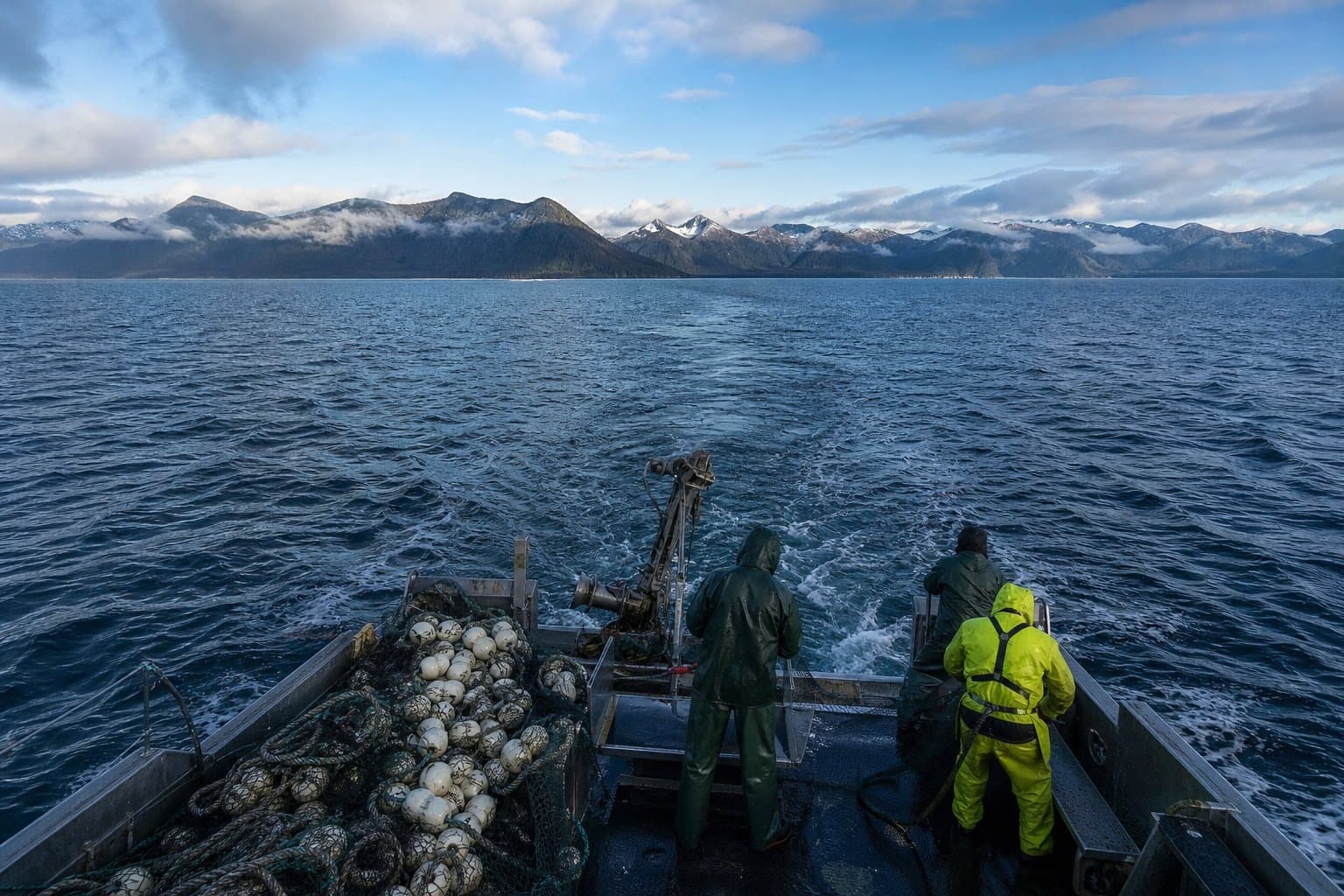
AI image
El Niño Kelvin wave moves up the West Coast; past ones have reached Alaska
An underwater bulge of warm water is moving north along the West Coast, and it can temporarily lift sea levels as it passes. Past versions have reached the Gulf of Alaska and the Aleutians.
The phenomenon is a coastally trapped Kelvin wave, one way El Niño moves heat and water through the Pacific. Unlike the waves seen at the beach, it travels underwater, is very long and changes sea level only slightly, NOAA said.
NOAA Fisheries said Tuesday that one Kelvin wave was making its way up the North American West Coast, with one or two more still in the tropics, and that such waves can temporarily add 6 to 12 inches to West Coast sea levels. Kelvin waves are not a threat by themselves, NOAA said, but they can amplify very high tides and storm surges because sea level is already a bit higher. NOAA did not say whether or when this wave might reach Alaska or how much of its signal would remain.
NOAA oceanographer Michael Jacox said the wave travels about 6 mph, roughly 150 miles a day, and can warm surface water, push colder water deeper and suppress nutrient upwelling.
In its Oct. 8 update, NOAA's Climate Prediction Center said El Niño was strengthening and likely to remain strong or very strong through January to March 2027, putting the chance it exceeds any El Niño since 1950 at 83% for October to December. With an event that strong, the center said, the chance of El Niño-related impacts rises but is not guaranteed.
Alaska gauges do not show the West Coast rise
Alaska News compared hourly observed water levels with NOAA's astronomical tide predictions from Sept. 8 through Oct. 7 at San Francisco, Neah Bay in Washington, Yakutat and Seward, against the same 30-day period in 2023, 2024 and 2025.
San Francisco averaged about 8 inches above predictions, nearly twice its highest average for those weeks in the prior three years. Neah Bay averaged about 2.9 inches above, also higher than its recent range. NOAA said West Coast sea levels "have already been abnormally high for months" amid marine heatwaves. Yakutat and Seward averaged below predictions and slightly below their 2023-to-2025 ranges.
The comparison cannot isolate a Kelvin wave, since wind and atmospheric pressure also move coastal water. Both Alaska gauges also ran below predictions during the same weeks in each of the past three years.
Past waves have reached Alaska
A 2003 study of Gulf of Alaska sea levels cited El Niño-related coastal waves traveling from equatorial South America to the Aleutian chain and found 25% to 55% of year-to-year Gulf of Alaska sea-level variation was statistically related to sea levels at La Libertad, Ecuador, though the signal weakened northward. A 2009 NOAA-affiliated modeling study found waves propagating from Baja California through Alaska during the 1997-98 El Niño but attributed most of Alaska's anomaly to local winds and runoff.
If the signal arrives, it could modestly raise the baseline beneath a large tide or storm surge. The research does not support predicting that it will flood an Alaska community, nor does it establish a path into the Bering Sea.
What El Niño could mean for Alaska waters
At a September meeting of the North Pacific Fishery Management Council's groundfish plan teams, NOAA scientist Bridget Ferriss said El Niño effects already appearing in the California Current could reach the Gulf of Alaska, particularly Southeast Alaska, as early as late fall 2026 to early 2027. The meeting report expected a longer delay for the Aleutians and Bering Sea.
Ferriss said the Gulf was cooling toward average after a warm 2025, though Southeast Alaska stayed warm. She called that a more favorable starting point than entering a strong El Niño with elevated heat already present, as happened with the marine heatwave known as the blob in 2014. Gulf of Alaska Pacific cod abundance later fell 71% between the 2015 and 2017 surveys, according to a peer-reviewed study of that heatwave.
Sand Point fisherman Kiley Thompson, testifying Oct. 7 to the council's Scientific and Statistical Committee, warned that "another El Niño event" could bring blob conditions like those of 2016 through 2018. The plan team report includes no forecast of another blob. Ferriss said satellite data can track warm water masses in real time.
The ecosystem report's authors plan to update the outlook at the plan teams' November meeting.
Source: Kelvin wave moves north; Yakutat, Seward show no signal.
Made by our human newsroom with AI. Reviewed by Cale Green. How humans and AI work here · Grow with our newsroom
From prior coverage
Stay informed. Support what matters.
Free, permanent access to local news you can verify. Subscribe to support Alaska News and go ad-free.
Related Coverage
A strong El Niño is likely this winter, warm and wet for Southern Alaska
Alaska News · 3mo ago
Alaska summer outlook leans warmer, but not as a simple El Niño story
Alaska News · 4mo ago
NWS forecasts water 5 feet above high tide at Golovin through Friday
Alaska News · 3w ago
A storm could raise water 4 to 6 feet at low-lying Norton Sound villages
Alaska News · 1mo ago
Higher-than-normal tides along western Alaska's coast through Tuesday
Alaska News · 2mo ago
Comments
Sign in to leave a comment.
No comments yet. Be the first to share your thoughts.