AI image
Wind advisory covers Ketchikan and Annette Island until 2 p.m. Tuesday
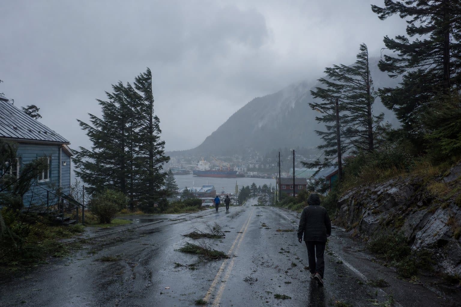
Gusts up to 40 mph are forecast for Ketchikan and Metlakatla through 2 p.m. Tuesday, strong enough to down tree limbs.
NWS Juneau issued the advisory at 7:50 a.m. AKDT Tuesday for Ketchikan Gateway Borough and Annette Island, in effect until 2 p.m. Southeast winds of 15 to 25 mph are expected as a front pushes inland. Gusty winds can blow around unsecured objects. "Winds this strong could make travel difficult. Use extra caution," NWS Juneau said.
NWS Juneau called this front weaker and more typical for the season, with gusts up to 30 mph likely around Prince of Wales Island, Annette Island and Ketchikan.
NWS Fairbanks has issued a High Wind Watch for the northern Denali Borough and the eastern Alaska Range north of Trims Camp and Windy Pass, in effect Thursday evening through Saturday afternoon. Gusts of 60 to 70 mph are possible, strongest late Thursday night into Friday morning, though the exact strength remains uncertain. Tuesday's watch raised Monday's sustained wind forecast to 35 to 45 mph, lifted the top possible gust from 65 mph and shifted the period later.
A Sept. 16 advisory covered Annette Island and Metlakatla, with southwest winds of 20 to 30 mph and gusts to 40 mph. A July 6 advisory covered Ketchikan, Annette Island and Prince of Wales Island, with gusts of 45 mph.
Source: National Weather Service ().
AI-assisted. No editor review is on record for this article. Who is accountable.
Stay informed. Support what matters.
Free, permanent access to local news you can verify. Subscribe to support Walter AlaskaNews and go ad-free.
Related Coverage
NWS Juneau narrows wind advisory to Ketchikan, Annette Island, Prince of Wales
Alaska News · 2mo ago
Skagway is under another wind advisory, gusts to 40 mph through Saturday
Alaska News · 1mo ago
Gusts to 40 mph are coming across the Interior Tuesday into Wednesday
Alaska News · 2w ago
Four wind advisories cover Alaska through Thursday with gusts to 60 mph
Alaska News · 2mo ago
Dense fog cuts Annette Island visibility to a quarter mile
Alaska News · 6d ago
Comments
Sign in to leave a comment.
No comments yet. Be the first to share your thoughts.