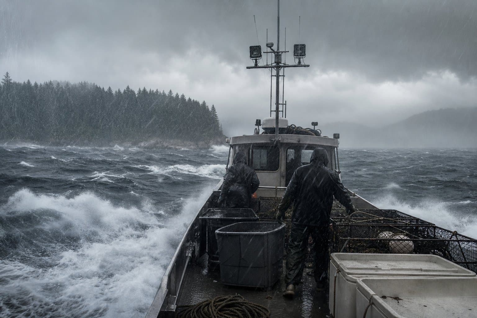
AI image
NWS Juneau narrows wind advisory to Ketchikan, Annette Island, Prince of Wales
NWS Juneau pulled back its Wind Advisory Monday afternoon, dropping Sitka, Wrangell, and Western Kupreanof and Kuiu Island from coverage. The advisory remained in effect through 7 p.m. for Ketchikan Gateway Borough, Annette Island, and Prince of Wales Island.
The advisory had been in effect since 10 a.m., with southeast winds forecast at 20 to 30 mph and gusts up to 45 mph across the affected areas. NWS Juneau warned that winds of that strength make travel by boat or aircraft more difficult and advised motorists to avoid flooded roads. The agency also cautioned that gusty winds could bring down tree limbs and cause scattered power outages.
Rainfall Forecast
An earlier NWS Juneau special weather statement forecast heavy rain for the southern panhandle. Ketchikan and Annette Island were forecast to receive 2.5 to 3.5 inches over 24 hours, with the heaviest rain expected Monday afternoon as a second front pushed through. Prince of Wales Island was forecast to see 1 to 2 inches. NWS Juneau noted that "Rain rates up to 0.15 inch per hour are possible as this heavier band moves through."
Commercial fishers and small boat operators working the Clarence Strait and the eastern side of Prince of Wales Island faced the worst of the conditions. NWS Juneau noted in its earlier special weather statement that stronger winds were concentrated along the Clarence Strait and the eastern portion of the island.
Mariners and aircraft operators in the remaining three areas can check updated conditions at weather.gov/ajk.
Assembled from public records the newsroom collected.
Made by our human newsroom with AI. How humans and AI work here · Grow with our newsroom
Stay informed. Support what matters.
Free, permanent access to local news you can verify. Subscribe to support Walter AlaskaNews and go ad-free.
Related Coverage
Wind advisory covers Sitka, Prince of Wales and Annette Island until 10 am Sunday
Alaska News · 6d ago
Wind advisory, heavy rain target southern Southeast Alaska through Monday evening
Alaska News · 3mo ago
Weather Service cancels Ketchikan wind advisory early after gusts fall short of forecast
Alaska News · 1w ago
A wind advisory covers Ketchikan and Metlakatla until 2 pm Tuesday
Alaska News · 2w ago
Skagway under wind advisory until 7 pm Monday, gusts to 45 mph
Alaska News · 5d ago
Comments
Sign in to leave a comment.
No comments yet. Be the first to share your thoughts.