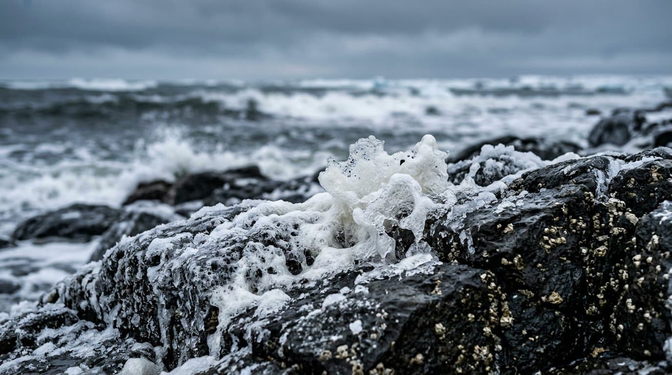
AI image
High surf advisories, storm watches cover Arctic coast from Point Hope to Utqiagvik
The National Weather Service in Fairbanks put the Arctic and Northwest Arctic coasts, from Point Hope to Utqiagvik, under high surf advisories Tuesday afternoon ahead of a storm due Friday. It also issued winter storm watches for Point Hope and the Kotzebue area.
The Western Arctic Coast High Surf Advisory, which includes Point Hope, forecasts breaking waves 3 to 5 feet above the normal high tide line from Friday morning through Monday morning, with south to southeast gusts up to 65 mph continuing through Saturday into Sunday. Each advisory warns of localized beach erosion and urges precautions to protect property.
Point Hope also faces a Winter Storm Watch from late Thursday night through Sunday afternoon, forecasting gusts to 65 mph, up to 4 inches of snow and visibility below a quarter mile in falling and blowing snow. "Very strong winds could result in power outages," the watch said.
Kivalina and Red Dog Dock could see waves 2.5 to 4.5 feet above normal high tide, with gusts to 55 mph, from Friday morning through early Monday. Wainwright could see 2.5 to 4 feet and Utqiagvik 1.5 to 2.5 feet, with south winds gusting to 40 mph late Friday into Saturday. The Baldwin Peninsula, including Kotzebue, and the Northern Seward Peninsula could see 2 to 4 feet, with gusts to 60 mph, from Friday afternoon through Sunday night.
A separate watch for the Baldwin Peninsula and Lower Kobuk Valley forecasts gusts to 60 mph and 1 to 3 inches of snow from late Thursday night through Saturday afternoon.
The same storm could bring coastal flooding to much of Alaska's West Coast, Alaska News reported Tuesday. The Fairbanks office's forecast discussion expects "strong south/southwest winds, heavy precipitation, and high water levels" from Hooper Bay north toward Wainwright. Farther south, coastal flood watches cover the Yukon Delta, where Hooper Bay could see water 4 to 8 feet above high tide, the Southern Seward Peninsula and the Bering Strait coast.
A second storm follows Sunday into Monday, bringing more rain, snow and strong wind, the discussion said. Its coastal impacts are unknown that far out, but high water levels and beach erosion cannot be ruled out.
Source: National Weather Service, High surf advisories and winter storm watches cover Point Hope, Kivalina, Kotzebue, Wainwright and Utqiagvik ahead of Friday's Bering Sea storm.
Made by our human newsroom with AI. Reviewed by Cale Green. How humans and AI work here · Grow with our newsroom
Stay informed. Support what matters.
Free, permanent access to local news you can verify. Subscribe to support Walter AlaskaNews and go ad-free.
Related Coverage
Surf up to 9 feet above high tide forecast for eastern Norton Sound in Friday storm
Alaska News · 12m ago
Flood watch warns Hooper Bay water could rise 4 to 8 feet above high tide
Alaska News · 6h ago
A storm could raise water 4 to 6 feet at low-lying Norton Sound villages
Alaska News · 1mo ago
Wind watch upgraded to warning for the Western Arctic Coast and Shishmaref
Alaska News · 1mo ago
Storm to raise water up to 5 feet above the tide line, Golovin to Wainwright
Alaska News · 1mo ago
Comments
Sign in to leave a comment.
No comments yet. Be the first to share your thoughts.