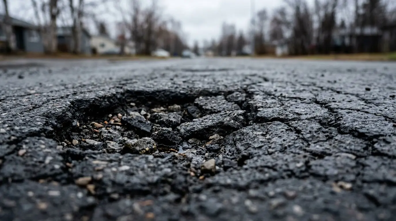
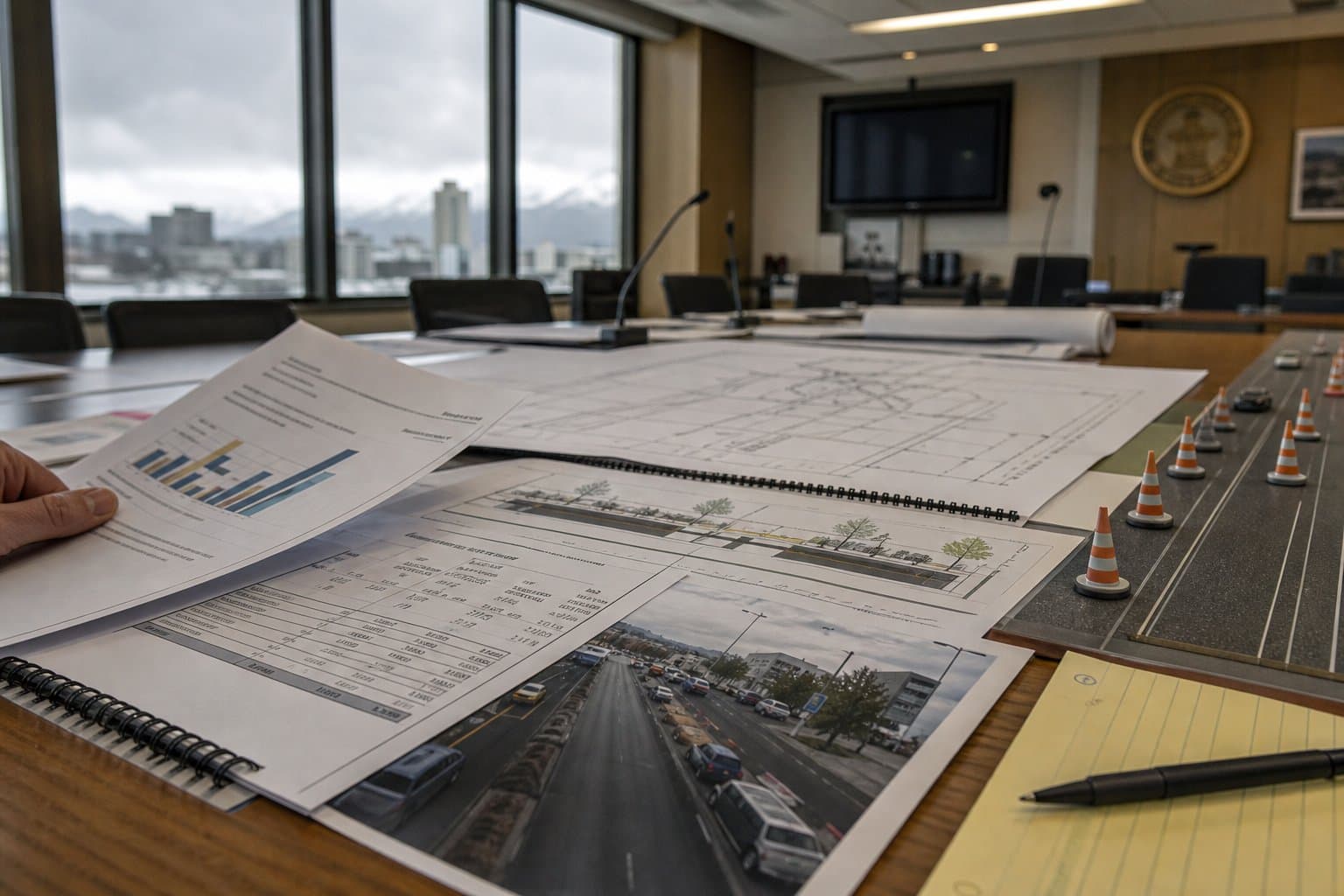
AI image
Anchorage road planners take up $34 million more for repairs and a twice-stalled map
The committee that decides how federal transportation money is spent in Anchorage will vote Thursday on putting out a proposal to add about $34 million for pavement and bridge repairs. It will also vote on a new map of where that money can go and a study of why traffic deaths haven't fallen.
The Anchorage Metropolitan Area Transportation Solutions Policy Committee, known as AMATS, includes state transportation officials, a representative of the mayor and Assembly members. It covers the Anchorage Bowl and Chugiak-Eagle River.
It's also up against two federal deadlines. Both its new planning map and its long-range transportation plan have to be finished by Dec. 29.
Here's what's on the agenda.
Road money
The committee will vote on releasing changes to Anchorage's 2027-2030 road and transit funding list for 45 days of public comment, according to a memo from AMATS Executive Director Aaron Jongenelen.
One of the biggest changes is for pavement and bridge work. Its four-year funding would rise from $105.9 million to nearly $140 million. The work covers stretches of the Seward Highway, Tudor Road, Northern Lights Boulevard, Dowling Road, Dimond Boulevard, Jewel Lake and Raspberry roads, Huffman Road and Fifth and Sixth avenues. A new drainage program would get $6 million a year.
Some familiar projects would get a lot more money:
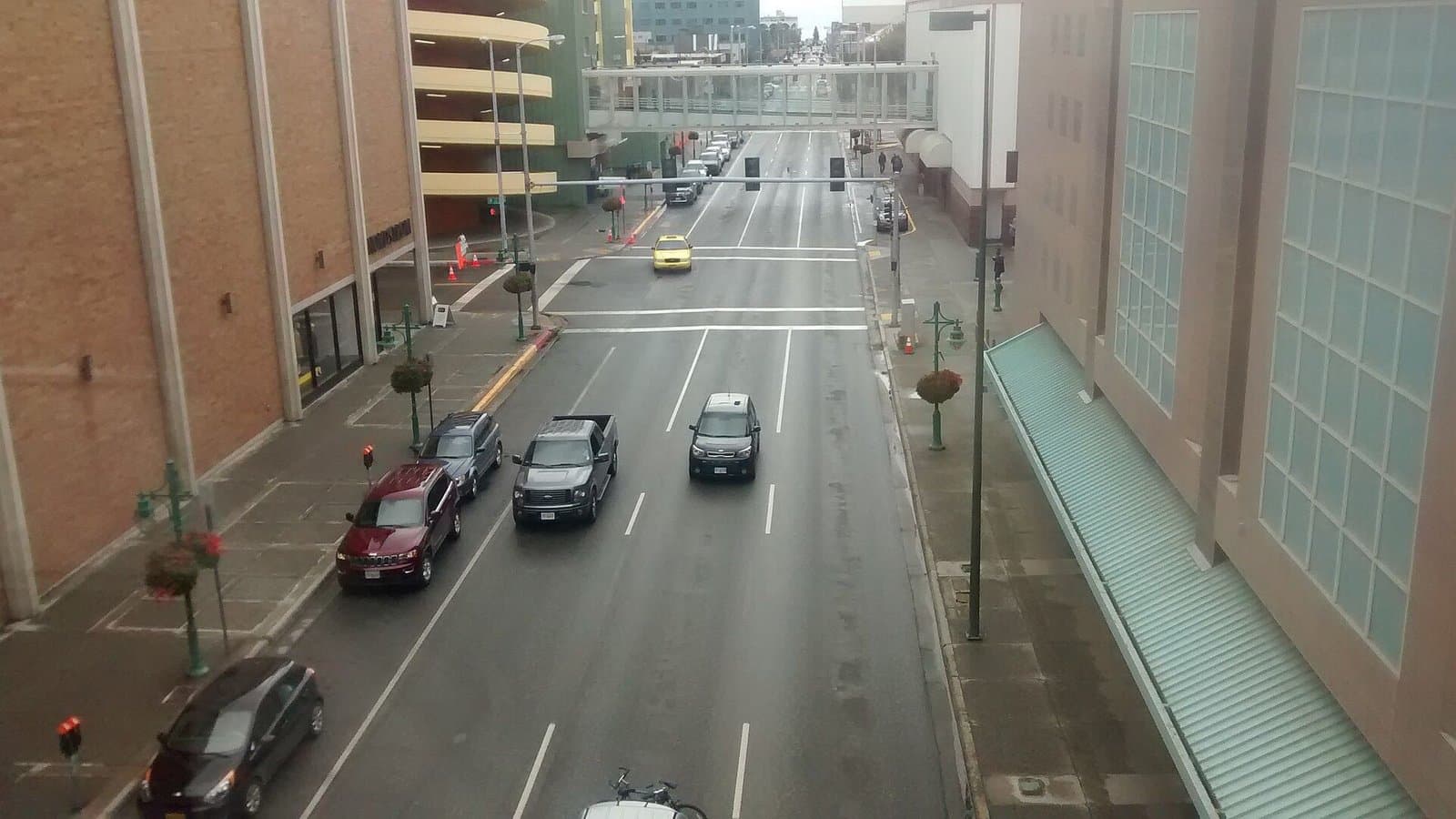
Ingra and Gambell streets would get $14.35 million in 2027, up from $3.3 million. The project would drop "road diet" from its name and become "couplet lane reconfigurations." An earlier project list described three one-way lanes between Fireweed Lane and Fourth Avenue, posted at 30 mph.
L and I streets, from Third to 15th avenues, would get $25 million, up from $5 million.
Rabbit Creek Road and Potter Drive would move onto the funded list, with $6 million and $13.3 million. Rabbit Creek has another $28 million set aside for construction after 2030.
The Downtown Transit Center would return with $2.25 million.
Not every request made it in. Staff recommended against the state transportation department's request for $10 million more for drainage on 68th Avenue, saying other projects are already delayed for lack of money. Rep. Zack Fields asked for fewer lanes, bike lanes and striped crosswalks on East Fourth Avenue. The project manager said lane widths are already shrinking but fewer lanes and bike lanes are outside the project. Staff put those requests off until a later round of changes.
The planning map
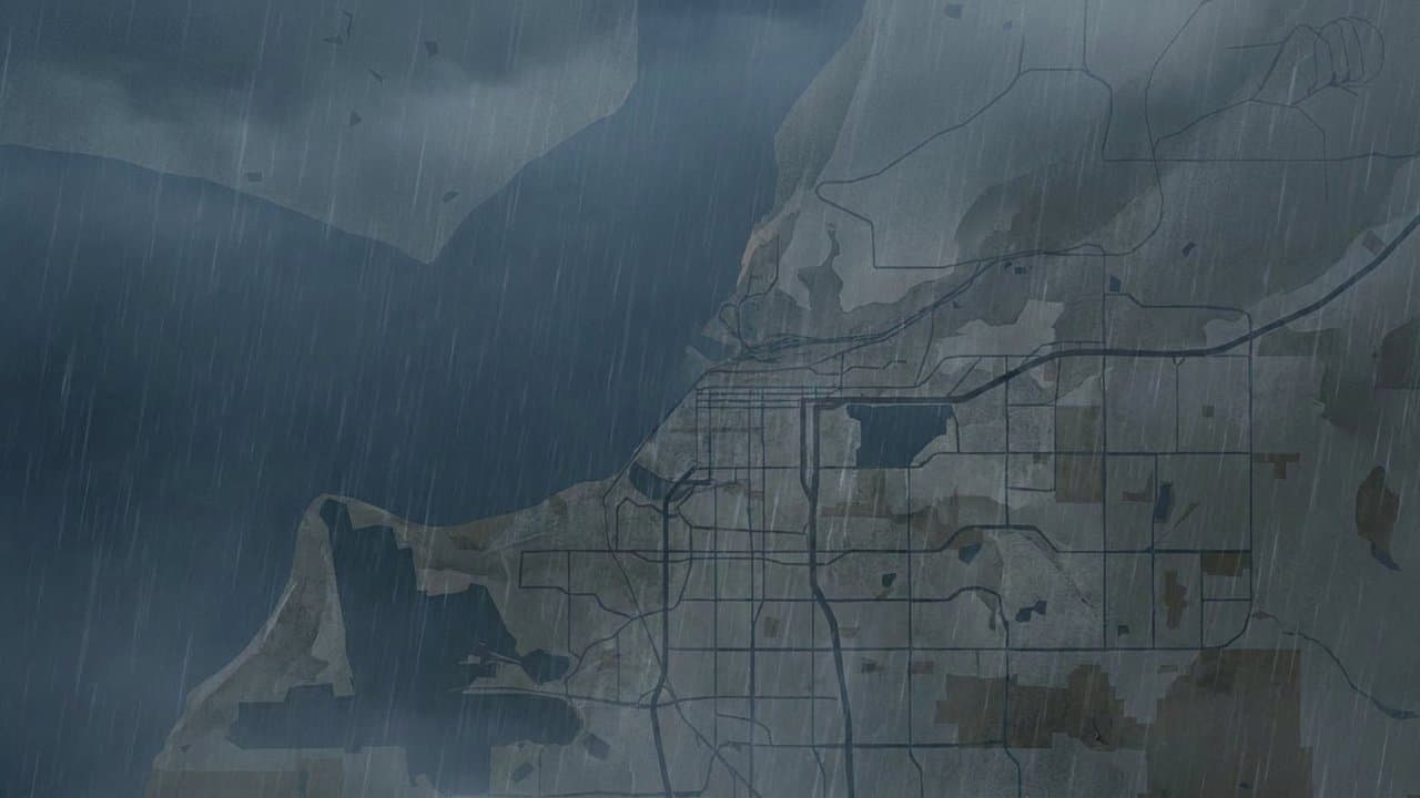
The committee will vote again on a new boundary for where AMATS plans and spends federal money. Federal rules require a new one after each census, covering all Census Bureau urban areas.
The committee approved versions twice in 2024, but neither went to the governor, who has to sign off. In August 2024 the state transportation department asked for another look, concerned that Seward Highway projects inside the new line could be affected by becoming part of the AMATS process, according to a staff narrative. The department raised it again in 2025 along with changes it wanted to the AMATS operating agreement.
Federal highway and transit officials wrote in a July 2025 letter that the boundary didn't require those agreement changes and set the Dec. 29 deadline. Until the map is final, AMATS can't plan for the new areas.
The new map follows city parcels, the 2020 census urban area and a 550-foot buffer around public roads and the railroad. It drops part of Joint Base Elmendorf-Richardson west of the Glenn Highway and an Eagle River area, both with mostly private roads. It adds Point Woronzof for its trails. The advisory committee recommended it Nov. 5 without changes.
Traffic safety
The committee will decide whether to approve the scope of a $250,000 update to the area's traffic safety plan. It would focus on crashes that kill or seriously injure people and look at why deaths haven't come down.
Anchorage had 15 of Alaska's 18 pedestrian deaths in 2025, according to a preliminary count in a state transportation department presentation. It has 39% of the state's people but had 66% of its deadly and serious crashes involving people walking, biking and other vulnerable road users from 2020 to 2024.
People walking and biking make up 6% of commute trips but were involved in 49% of fatal crashes over 10 years, a draft progress report says. The city's Vision Zero coordinator job, meant to lead safety work under the current plan, has sat vacant for more than a year, the report says.
The new plan would map where severe crashes happen by how people were traveling, and where they're most likely. Staff aim to finish it in October 2028.
What did you make of this story? (no account needed)
Made by our human newsroom with AI. Reviewed by Cale Green. How humans and AI work here · Grow with our newsroom ·
Get Alaska News in your inbox
Create your free account and get the day’s top stories around 6 each morning, in a few minutes’ read.
Top stories, around 6 each morning.
Stories on what you follow, on Sundays.
Source: AMATS Policy Committee.



Comments
Sign in to leave a comment.
No comments yet. Be the first to share your thoughts.