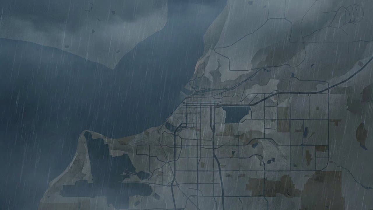
Editorial map (Gemini + Google Maps)
Anchorage planners take up a redrawn transportation map as federal deadline nears
Anchorage's transportation planners will take up a redrawn map of the area they plan for on Thursday. AMATS staff will ask the group's technical advisory committee to recommend it.
The vote is the latest step in a dispute with the state that dates to 2024. The deadline to settle it is Dec. 29.
The map decides where AMATS, the joint city and state body that plans Anchorage's roads, buses and trails, has a say over federal transportation money. Its current four-year list includes 94 projects worth about $1.2 billion.
The boundary has to be settled and folded into the region's long-range transportation plan by the deadline. Missing it would freeze federal funding inside the boundary, Director Aaron Jongenelen has said. Projects already underway could keep spending, but nothing new could start.
To draw the new map, staff started over from the 2010 boundary and expanded it mostly to take in nearby roads. They used a 550-foot buffer around public roads and the railroad, meant to cover typical road right-of-way.
On the Hillside, the line follows the edge of Chugach State Park. It reaches out slightly to include the Prospect Heights and Glen Alps trailhead parking lots, but not the Upper Huffman Heights parking area, which is reached by a private road.
Point Woronzof is in, to capture its full trail network.
The biggest change cuts out part of Joint Base Elmendorf-Richardson west of the Glenn Highway, where the roads are mostly private and outside the urban area. Staff also dropped an Eagle River area made up mostly of private streets.
If the technical committee recommends the map, it goes to the AMATS Policy Committee, then to the governor, who has to sign off.
Federal rules require the map to be redrawn after every census so it takes in the full urban area the Census Bureau defines. It can reach farther than that, but it can't leave any of it out.
The 2020 census put small pockets on the southwest edge of the Anchorage Bowl and the east side of Eagle River outside the old lines.
The Policy Committee approved a new map in January 2024, according to a staff report. Then the state Department of Transportation and Public Facilities asked for another look.
The department had concerns that planned Seward Highway projects inside the new boundary could be affected by becoming part of the AMATS process. The committee approved the same map again that September.
It was never sent to the governor. Letters among AMATS, the department, the municipal attorney and federal highway officials followed into this year.
In July, Policy Committee Chair Katherine Keith said the attorney general's and commissioner's offices needed detailed written justification for stretching the boundary into places like Chugach State Park.
In September, the committees told staff to justify every area on the map. They also asked staff to include areas expected to urbanize over the next 20 years. The staff report notes that Anchorage's population isn't projected to grow over that time.
Made by our human newsroom with AI. Reviewed by Cale Green. How humans and AI work here · Grow with our newsroom
Get Alaska News in your inbox
Create your free account and get the day’s top stories around 6 each morning, in a few minutes’ read.
The day's top stories around 6 each morning. Unsubscribe in one click.
Source: AMATS.


Comments
Sign in to leave a comment.
No comments yet. Be the first to share your thoughts.