Sag River nears bankfull, threatening Dalton Highway washout
Two flood advisories are active on Alaska's North Slope, with the Sagavanirktok River threatening road washouts along the Dalton Highway and the Colville River rising from Umiat to Nuiqsut.
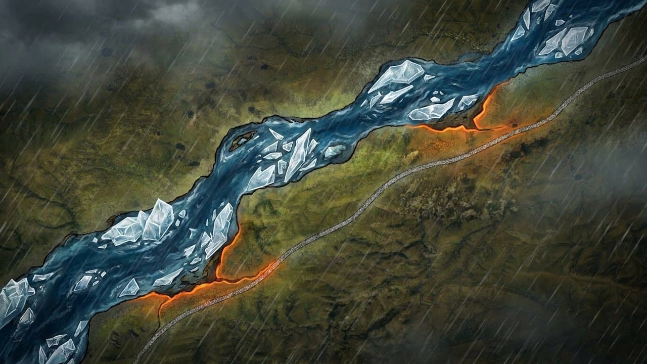
The Sag River advisory runs through 1:15 p.m. AKDT Thursday, June 18. Rain and snowmelt pushed water levels at the USGS gage near Ice Cut to near bankfull as of Tuesday morning. NWS Fairbanks warned that washouts are possible between mileposts 310 and 340, particularly where lingering ice blocks culverts at stream crossings. Rain was tapering off Tuesday, and levels were expected to begin dropping Tuesday evening.
The Dalton Highway is the primary land route to North Slope oil fields and communities. A washout there is not just a road closure. A failed culvert at MP 315 in 2025 opened an 80-foot-wide, 30-foot-deep breach across the road. A 2023 Sag River breakup closed the highway at MP 403.5 and required crews working around the clock to restore access.
The Colville River advisory covers the stretch from Umiat to Nuiqsut and runs through Friday morning, June 19. Between 1 and 1.5 inches of rain fell in the region through Tuesday morning, following a weekend of warm temperatures that rapidly melted residual Brooks Range snowpack. Water levels were already high in Umiat as of Tuesday morning. Minor flooding in low-lying areas is expected. The crest should weaken as it moves downstream, and rain was expected to end Tuesday afternoon.
Travelers and residents can track conditions through the Alaska-Pacific River Forecast Center at weather.gov/aprfc or monitor NOAA Weather Radio for updates.
AI-assisted, reviewed by editors. Spot an error?
Related Coverage
High Water Threatens Alaska's Only Road North
Alaska News · 1mo ago · 87% match
Nuiqsut's Lifeline River Is Rising Again
Alaska News · 1mo ago · 86% match
Flood Watch: Koyukuk rises threaten Coldfoot, Wiseman, Bettles
Alaska News · 1mo ago · 86% match
North Slope rivers expected to rise as snowmelt, rain combine
Alaska News · 1mo ago · 83% match
NWS warns of snow, ice risk at Atigun Pass and along Dalton Highway tonight
Alaska News · 1w ago · 83% match
Comments
Sign in to leave a comment.
No comments yet. Be the first to share your thoughts.