North Slope rivers expected to rise as snowmelt, rain combine
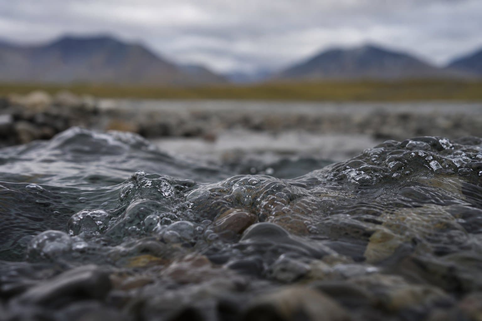
Rivers across the North Slope and Brooks Range are expected to rise this weekend into early next week as warm temperatures, snowmelt, and rain feed runoff at once, the National Weather Service Fairbanks warned in a hydrologic outlook Friday.
Forecasters expect a half-inch to an inch of rain from Sunday night into Wednesday, paired with above-freezing overnight temperatures in the foothills and mountains where most of the remaining snowpack sits — exactly where rain and warmth will be heaviest. As that water moves through the river systems, it brings a flood risk across the Central Brooks Range, Arctic Plains, and Beaufort coast.
One factor cuts in the region's favor. Most ice has already cleared the larger rivers, leaving more room to carry the surge — unlike last year's late breakup, when meltwater poured into channels still choked with ice.
Tanana Chiefs Conference emergency management coordinator Roxanne Sourapas urged households not to wait. "With breakup season in full swing, preparation is just as important as response," she said, advising residents to finish an emergency kit with food, water, medications, and important documents.
AI-assisted, reviewed by editors. Spot an error?
Related Coverage
Flood Watch: Koyukuk rises threaten Coldfoot, Wiseman, Bettles
Alaska News · 1mo ago · 87% match
Weekend rain could push Interior Alaska rivers to a rare high
Alaska News · 1mo ago · 87% match
Nuiqsut's Lifeline River Is Rising Again
Alaska News · 1mo ago · 85% match
High Water Threatens Alaska's Only Road North
Alaska News · 1mo ago · 83% match
Yentna and Skwentna rivers headed for high water
Alaska News · 2w ago · 83% match
Comments
Sign in to leave a comment.
No comments yet. Be the first to share your thoughts.