Flood Watch: Koyukuk rises threaten Coldfoot, Wiseman, Bettles
The National Weather Service in Fairbanks issued a Flood Watch Monday for the South Slopes of the Central Brooks Range and Upper Koyukuk Valley, warning that steep water rises on Slate Creek near Coldfoot and the Koyukuk River at Wiseman will push downstream to Bettles by Tuesday. That watch runs through Tuesday evening.
The watch covers Wiseman, Coldfoot, Chandalar Dot Camp, Iniakuk Lake, the Dalton Highway from MP 165 to MP 232, Allakaket, Bettles, Evansville, and Alatna.
A slow-moving weather system over the central Brooks Range dropped between **0.5 and 0.75 inches** of rain in the 24 hours before the alert, with an additional 0.75 inches possible through midday Tuesday. Rainfall combined with accelerated snowmelt at higher elevations is driving the risk. Significant flooding is not expected, but NWS Fairbanks warned residents to be prepared for steep rises and to monitor for a possible upgrade to a Flood Warning.
A broader watch covers the Central and Eastern Beaufort Sea Coast, Western Arctic Plains, Central Brooks Range, and Romanzof Mountains, including the Dalton Highway and the Sag, Colville, and Kuparuk Rivers. That watch runs through Wednesday morning, June 17. Projected rainfall totals reach 1.5 inches in the Brooks Range and 0.5 to 1.0 inches on the Plains and Coast. Temperatures in the Brooks Range are forecast to reach the 60s and low 70s, accelerating snowmelt. Excessive runoff may affect roads, airstrips, and low-lying infrastructure.
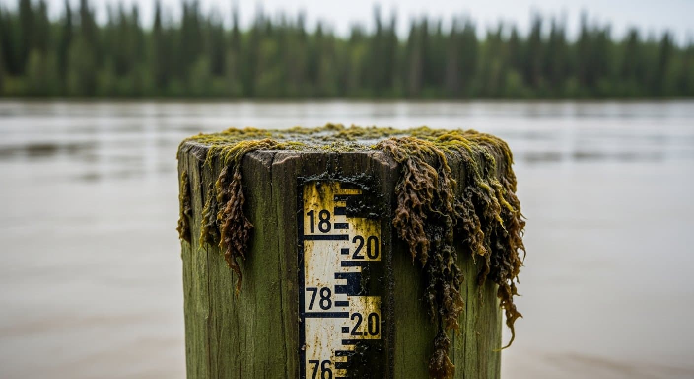
Most ice on larger rivers has already moved out, leaving more channel capacity than last year's late breakup provided. NWS Fairbanks cited that contrast as a factor in the current watch.
AI-assisted, reviewed by editors. Spot an error?
Related Coverage
North Slope rivers expected to rise as snowmelt, rain combine
Alaska News · 1mo ago · 87% match
High Water Threatens Alaska's Only Road North
Alaska News · 1mo ago · 87% match
Sag River nears bankfull, threatening Dalton Highway washout
Alaska News · 1mo ago · 86% match
Nuiqsut's Lifeline River Is Rising Again
Alaska News · 1mo ago · 83% match
Weekend rain could push Interior Alaska rivers to a rare high
Alaska News · 1mo ago · 83% match
Comments
Sign in to leave a comment.
No comments yet. Be the first to share your thoughts.