AI-generated (DALL-E 3)
Nuiqsut's Lifeline River Is Rising Again
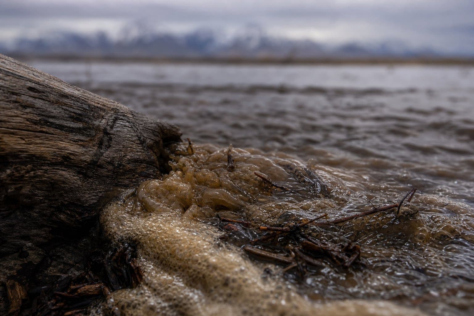
The Colville River — the summer lifeline for the road-less North Slope village of Nuiqsut — is rising again, a year after it hit the highest level ever recorded there. The National Weather Service said minor flooding was already underway Tuesday morning along the river from Umiat to Nuiqsut, with an advisory running through Friday.
The cause is by now a familiar one across the Interior and Arctic this week: an inch to an inch and a half of rain fell on Brooks Range snowpack already softened by warm weekend temperatures, melting it fast and pushing water high at Umiat. The rain was expected to taper Tuesday afternoon, and the crest should ease as it moves downstream — but the NWS said low-lying areas toward Nuiqsut should still expect minor flooding.
For Nuiqsut, a rising Colville is more than a weather event. The community sits near the Colville River Delta with no connection to Alaska's road system, and the river is its primary corridor for the summer barge resupply that brings in fuel and bulk goods, as well as the home of subsistence fishing sites used across the North Slope. Overbank flooding is also part of the delta's natural rhythm, feeding the floodplain lakes and sloughs — but high water and ice jams have repeatedly tipped that cycle into serious flooding between Umiat and Nuiqsut.
The river has a hard recent record. In June 2025, the USGS gage at Umiat reached 62.94 feet — the highest since it was installed in 1999 — as rapid snowmelt and ice jams drove significant flooding down the same Umiat-to-Nuiqsut stretch. The U.S. Army Corps of Engineers documented historic flood levels that month near the Umiat Formerly Used Defense Site, a federal cleanup project. The Colville at Umiat is monitored continuously by the USGS.
AI-assisted, reviewed by editors. Spot an error?
Related Coverage
Sag River nears bankfull, threatening Dalton Highway washout
Alaska News · 1mo ago · 86% match
North Slope rivers expected to rise as snowmelt, rain combine
Alaska News · 1mo ago · 85% match
High Water Threatens Alaska's Only Road North
Alaska News · 1mo ago · 84% match
Flood Watch: Koyukuk rises threaten Coldfoot, Wiseman, Bettles
Alaska News · 1mo ago · 83% match
The water keeps coming back to Kotzebue Sound
Alaska News · 6d ago · 82% match
Comments
Sign in to leave a comment.
No comments yet. Be the first to share your thoughts.