
Editorial map (Gemini + Google Maps)
Prince of Wales Island under high wind warning as advisories cover Sitka, Ketchikan
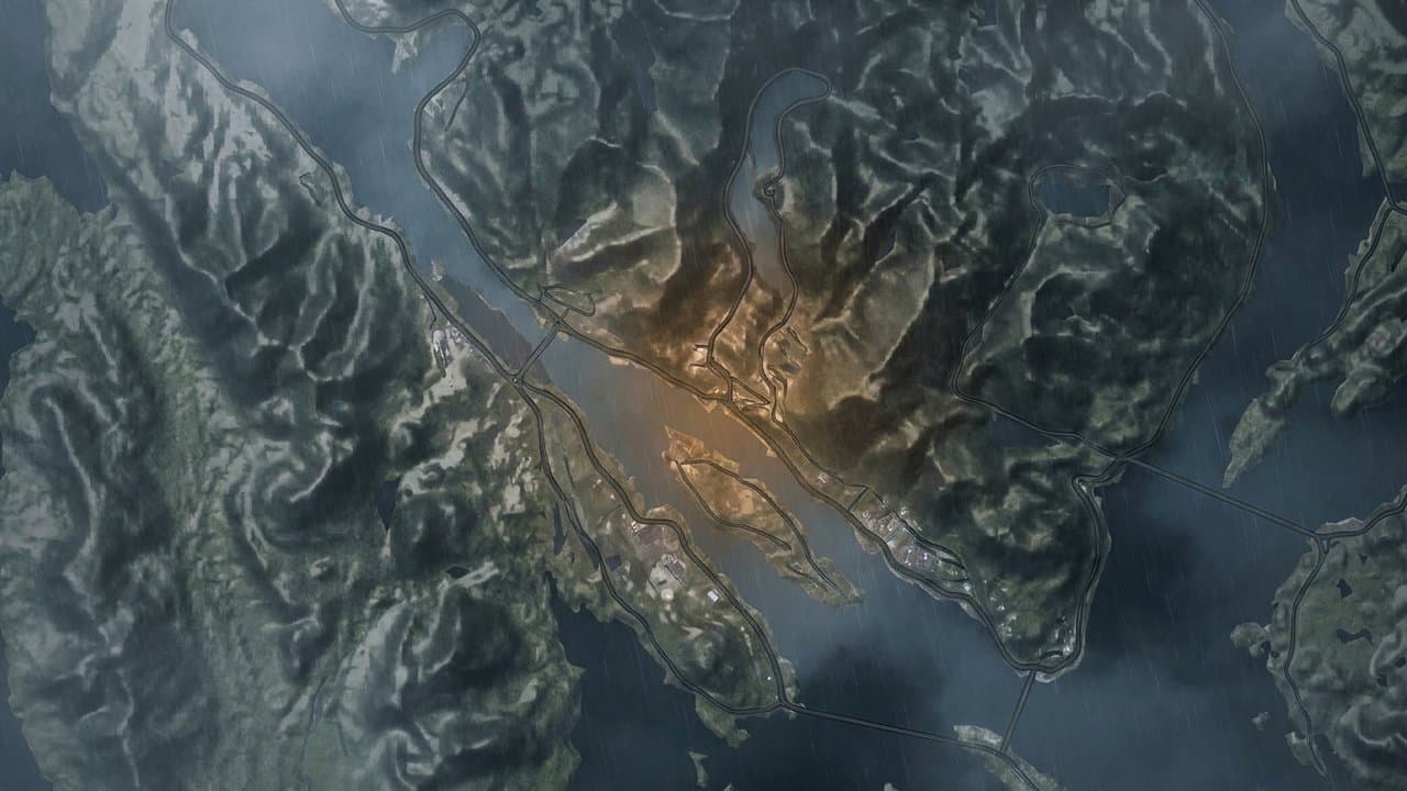
Prince of Wales Island is under a high wind warning Monday, with southeast winds of 20 to 30 mph and gusts up to 60 mph expected through 3 pm. The warning says high winds will blow around unsecured objects, damage property and cause power outages, and that travel will be difficult. The strongest winds are expected on the island's gulf coast and southern end Monday morning through early afternoon.
The National Weather Service in Juneau also has wind advisories Monday for Sitka, the Ketchikan Gateway Borough, Annette Island, western Kupreanof and Kuiu islands, and Yakutat. Forecasters said the gusts could blow around unsecured objects, bring down tree limbs and cause a few power outages, and they urged extra caution for anyone traveling.
The Sitka advisory runs from 6 am until 9 pm, with southeast winds of 25 to 35 mph and gusts to 50 mph. Forecasters expect the strongest winds Monday afternoon, with isolated gusts around 55 mph possible. During an Oct. 20 storm, Sitka's airport recorded a 76 mph gust, well past the 50 mph its advisories had called for.
The advisory for the Ketchikan Gateway Borough, Annette Island and western Kupreanof and Kuiu islands runs until 6 pm, with southeast winds of 20 to 30 mph and gusts to 50 mph. The strongest winds are expected late Monday morning through the afternoon, with isolated gusts near 55 mph possible, especially at higher elevations.
Yakutat's advisory begins later, running from 3 pm Monday until 5 am Tuesday, with east winds of 25 to 30 mph and gusts to 45 mph. Forecasters said a wind shift Monday night should come with the strongest winds, with isolated gusts up to 55 mph possible.
Monday's winds follow a storm Thursday, Nov. 5, that pushed gusts to 111 mph on high ground near Metlakatla and knocked out power in northern Ketchikan. A high wind watch the weather service issued Nov. 4 for the Ketchikan Gateway Borough and Prince of Wales Island had cautioned that gusts up to 60 mph could cause property damage, power outages and difficult travel, and urged people to secure vessels and loose objects.
More wind may follow. "The active weather pattern remains for SE AK for the upcoming week with multiple systems pushing through," the Juneau forecast office said. Its Monday morning forecast discussion expects another low to move out of the Pacific and reach the southern Panhandle Tuesday, bringing another potential round of strong gusts to Prince of Wales Island, Ketchikan and Annette Island.
The office's SkyWarn spotter program asks residents to report the strongest wind speed they estimate or measure and any damage to trees, power lines and structures.
What did you make of this story? (no account needed)
Made by our human newsroom with AI. How humans and AI work here · Grow with our newsroom ·
Get Alaska News in your inbox
Create your free account and get the day’s top stories around 6 each morning, in a few minutes’ read.
Top stories, around 6 each morning.
Stories on what you follow, on Sundays.
Source: National Weather Service.














Comments
Sign in to leave a comment.
No comments yet. Be the first to share your thoughts.