
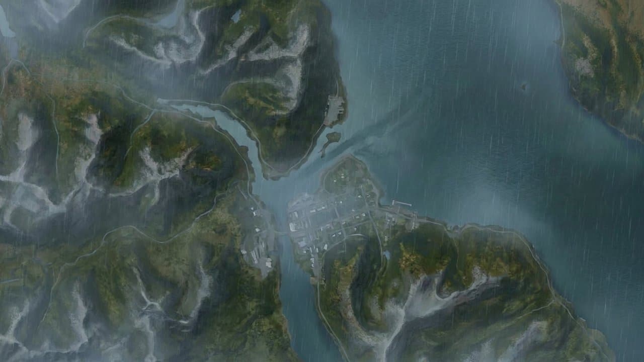
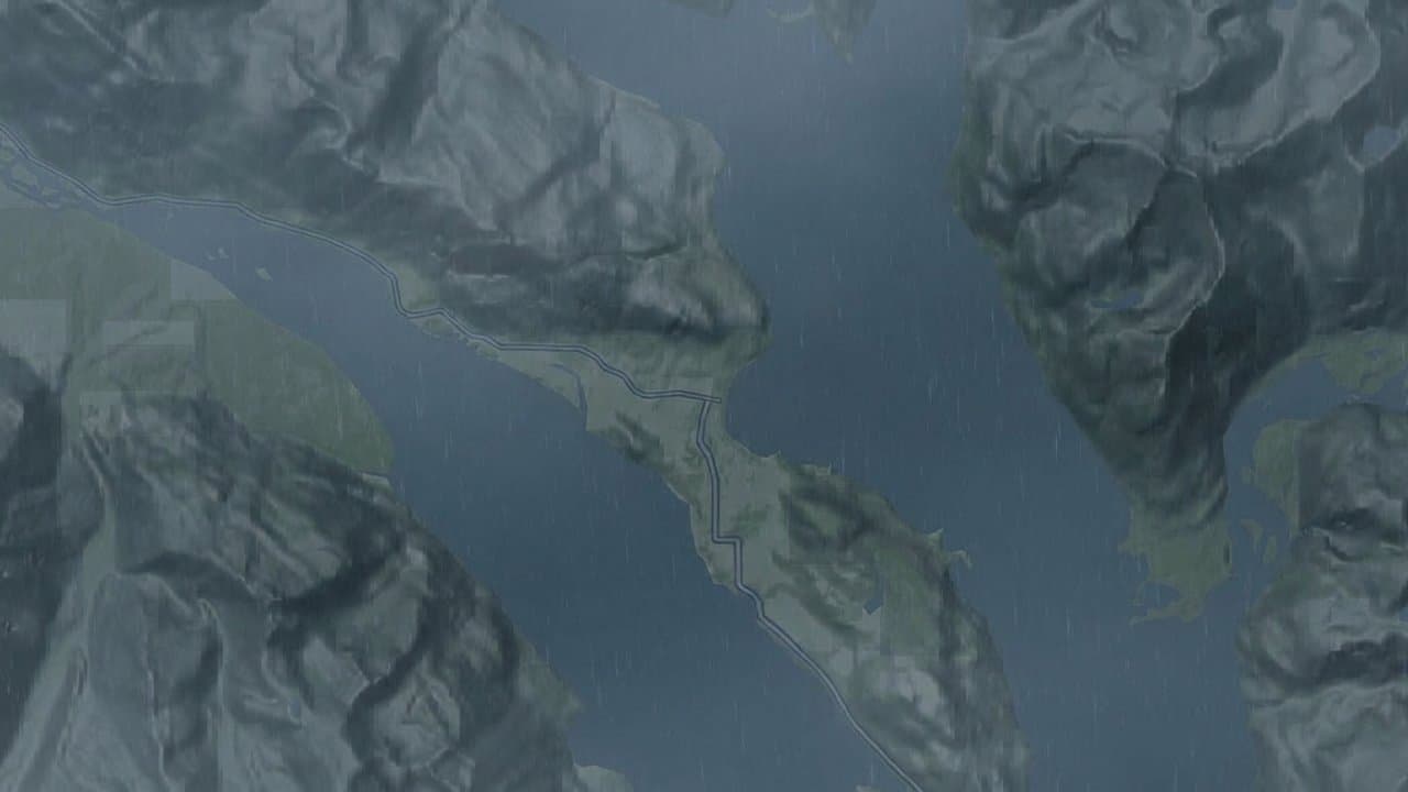
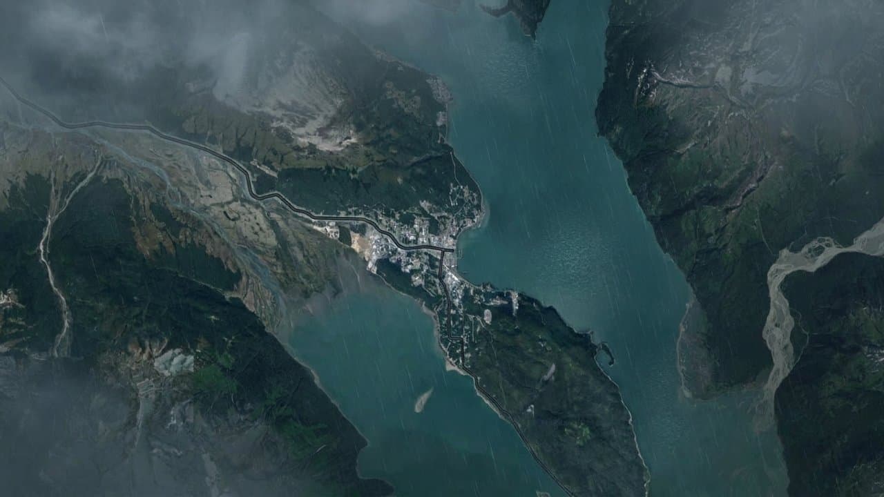
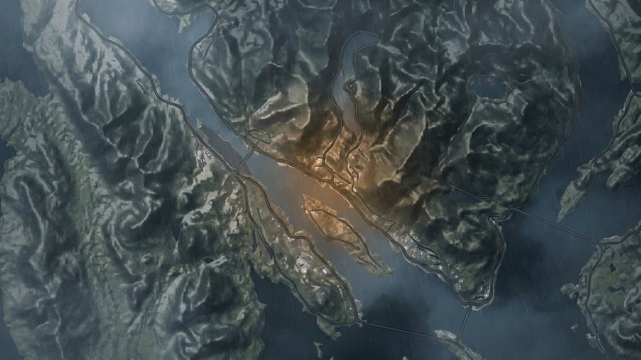
AI image
Gust hits 73 mph near Metlakatla as Monday storm crosses Southeast Alaska
A station 2 miles east of Metlakatla recorded a 73 mph gust at 7:35 am Monday, the highest reading in a preliminary National Weather Service Juneau storm report on the storm that crossed Southeast Alaska. Forecasters tied the storm to a storm-force low in the central Gulf of Alaska.
More rounds of strong wind followed. Wind advisories run until noon Wednesday for Sitka, western Kupreanof and Kuiu islands, Prince of Wales Island, Ketchikan and Annette Island, with gusts forecast at 40 to 55 mph, according to the weather service's forecast discussion. Gale warnings remain along the coast through Wednesday. Advisories also cover Skagway from 1 to 9 pm and Cape Fairweather to Lisianski Strait from 6 am to 6 pm Wednesday.
A station 1 mile southwest of Hydaburg measured 66 mph at 8:21 am Monday, then 62 mph less than an hour later. The weather service had forecast gusts up to 60 mph under a high wind warning for Prince of Wales Island, according to its Nov. 8 forecast discussion.
Gusts began before dawn. A station 2 miles south of Metlakatla logged 57 mph at 1:25 am, and one 2 miles southeast of Ketchikan logged 57 mph at 4:02 am. Craig saw 48 mph at 8 am.
Farther north, Sitka stations logged 55 mph at 8:32 am and 54 mph at 9:05 am, and a trained spotter reported a tree down at the foot of Sitka's O'Connell Bridge at 11 am. Petersburg reached 43 mph at 6:40 am. Juneau stations recorded 41 and 42 mph.
Monday's peak fell short of the 111 mph the same Metlakatla-area station recorded Nov. 5, according to an earlier storm report, during a storm that downed trees and cut power in northern Ketchikan.
Another storm moved through Tuesday night. A Metlakatla station measured 64 mph at 8:01 pm, according to a later storm report.
On Monday afternoon, forecasters expected a stronger atmospheric river Thursday, with the southern panhandle most likely to see prolonged heavy rain, according to the Monday afternoon discussion. By Monday night, the forecast had trended drier as models began to agree that a low would pass south of the panhandle late in the week. Tuesday night's discussion said a drier trend starts Friday, though a weaker system may bring rain to the southern and outer coast Thursday morning.
What did you make of this story? (no account needed)
Made by our human newsroom with AI. How humans and AI work here · Grow with our newsroom ·
Get Alaska News in your inbox
Create your free account and get the day’s top stories around 6 each morning, in a few minutes’ read.
Top stories, around 6 each morning.
Stories on what you follow, on Sundays.
Source: National Weather Service Fairbanks.












Comments
Sign in to leave a comment.
No comments yet. Be the first to share your thoughts.