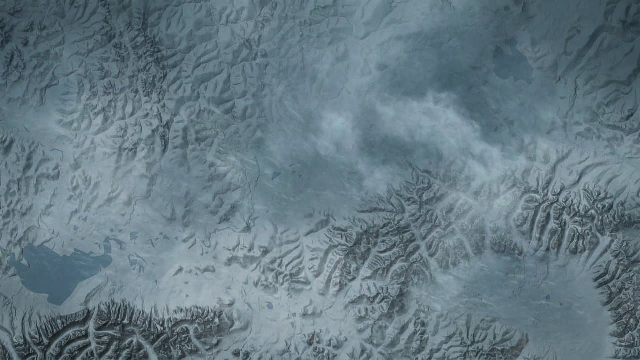
Editorial map (Gemini + Google Maps)
Blizzard expected to bring 65 mph gusts and heavy snow to the Seward Peninsula Friday
A blizzard is expected to sweep across the Seward Peninsula on Friday, with gusts up to 65 mph and blowing snow that could cut visibility to less than a quarter mile, the National Weather Service in Fairbanks warned.
Forecasters say travel should be limited to emergencies, and the wind could knock out power. Anyone who has to travel should carry a winter survival kit and stay with their vehicle if stranded.
The heaviest snow, 8 to 15 inches, is forecast inland on the peninsula. Nome and the rest of the southern coast could get 2 to 6 inches, and Shishmaref and the Bering Strait coast up to 2. Blizzard warnings also cover Kotzebue, Kivalina and Unalakleet on Friday. Snow should turn to rain along the coast early Saturday.
In Nome, the storm could push water about 6 feet above the normal high tide line, enough to approach low-lying homes in the Belmont Subdivision and leave standing water in the port area, under a coastal flood advisory. Water is expected to peak Friday afternoon and stay above normal through the weekend.
The worst flooding is forecast farther south at Hooper Bay, where the weather service warns the airstrip could be cut off, Alaska News reported Wednesday.
Another storm is forecast to arrive Sunday into Monday. It should be weaker, but it will bring another round of heavy rain or snow and more coastal concerns, according to the Fairbanks office's forecast discussion.
Source: National Weather Service.
Made by our human newsroom with AI. Reviewed by Cale Green. How humans and AI work here · Grow with our newsroom
Stay informed. Support what matters.
Free, permanent access to local news you can verify. Subscribe to support Maggie AlaskaNews and go ad-free.
Related Coverage
A strong Bering Sea storm could bring coastal flooding to western Alaska Friday
Alaska News · 2d ago
Flood warning says Hooper Bay water could rise up to 7.5 feet above high tide Friday
Alaska News · 1d ago
Flood watch warns Hooper Bay water could rise 4 to 8 feet above high tide
Alaska News · 2d ago
High surf advisories, storm watches cover Arctic coast from Point Hope to Utqiagvik
Alaska News · 2d ago
Bering Sea storm could send waves 5 to 9 feet above high tide at Koyuk and Elim
Alaska News · 2d ago
Comments
Sign in to leave a comment.
No comments yet. Be the first to share your thoughts.