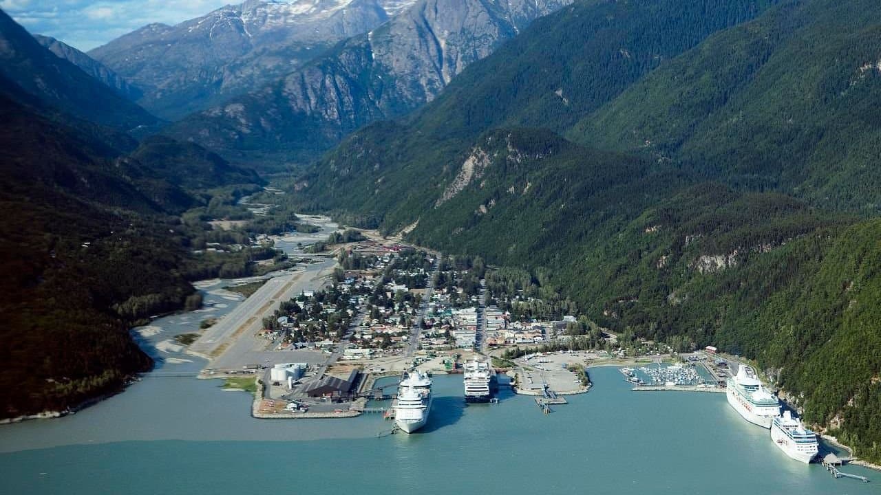
Photo: U.S. Fish and Wildlife Service - Midwest Region via Wikimedia Commons · Photo source · Public domain
Skagway manager asks Assembly to send rockslide route questions to a committee
Skagway Borough Manager Emily Deach is asking the Assembly to send four unresolved questions about the rockslide mitigation access route to a committee, including how the trail should cross channels that support brook trout spawning and whether the public can use it once work is done.
In a memo dated Nov. 17, Deach asks the mayor or the Assembly to refer the questions to an ad hoc committee or the Parks and Recreation Committee. "The project timeline has slipped, so getting official direction from the Assembly within the next couple of months is important," the memo states.
A committee would give advice only. Spending, scope changes and final alignments would stay with the Assembly. The memo is in the manager's report for the Assembly meeting Thursday, Nov. 19, and the revised agenda lists no action item on the referral itself.
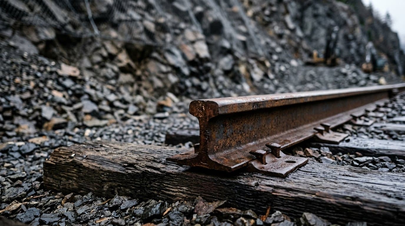
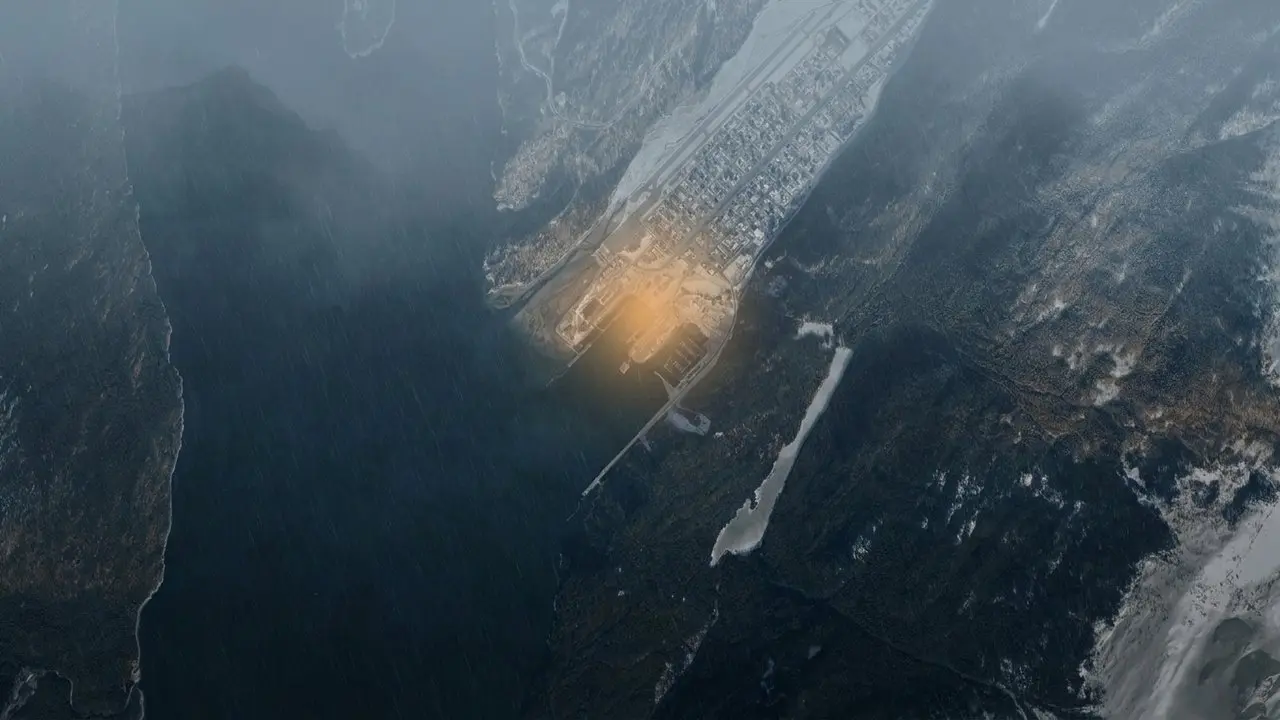
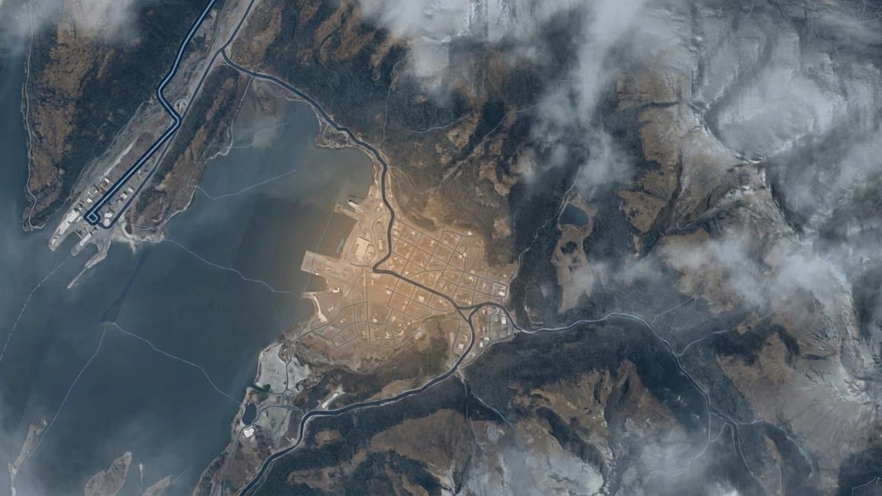
The project aims to remove a block of rock above the Railroad Dock. Building an overland route instead of relying on helicopters would cost far less: engineering firm Shannon & Wilson's Nov. 4 memo estimated $8 million to $11 million for overland access, against $35 million to $40 million for a helicopter-only approach, not counting weather delays. It put the access route at two to three construction seasons, mostly in winter, against three to four seasons or more by helicopter.
The route
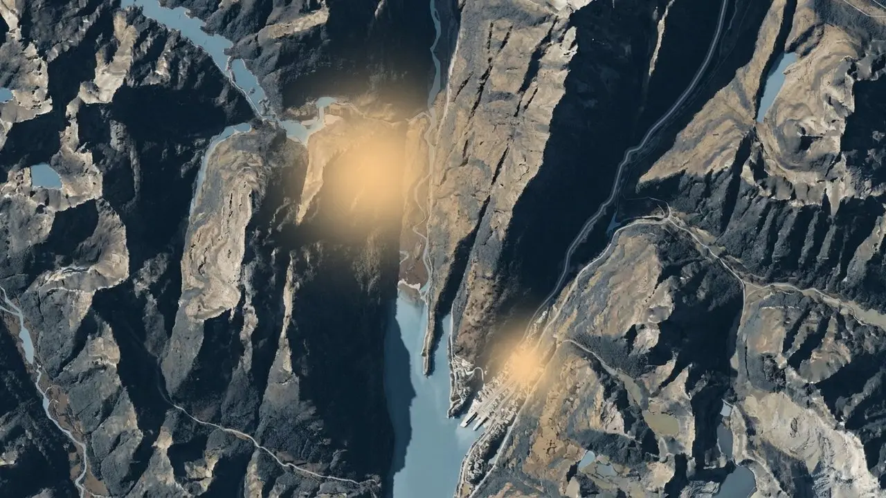
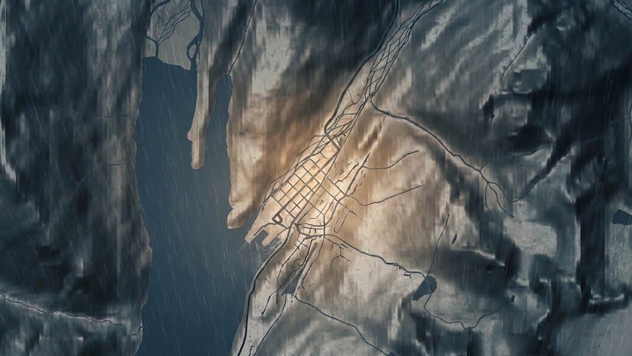
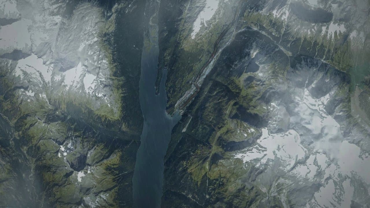
The route runs about 8,200 feet in three segments, according to the 65 percent design presented Nov. 9 at an Assembly of the Whole work session. Segment A follows the existing service road for about 2,800 feet. Segment B follows the existing Lower Dewey Lake, Icy Lake and Upper Dewey Lake trail for about 3,600 feet. Segment C runs about 1,800 feet from the trail system to the rockslide.
The design would leave the route in place permanently as a 10-foot-wide U.S. Forest Service Class 4 trail. The existing trail is about 7 to 9 feet wide.
Ground disturbance would mostly stay under 15 feet wide and total about 4.4 acres, including a helicopter pad and a material site. The memo expects shrubs to grow back in five to 10 years and forest canopy in 20 to 30 years.
The four questions
Segment B drainage. Standing water south of the Icy Lake Trail intersection can approach knee depth in spring, the memo says, and access to the Lower Dewey Lake dock floods. Should the route end as an improved, more accessible trail or go back as close as practical to its current state?
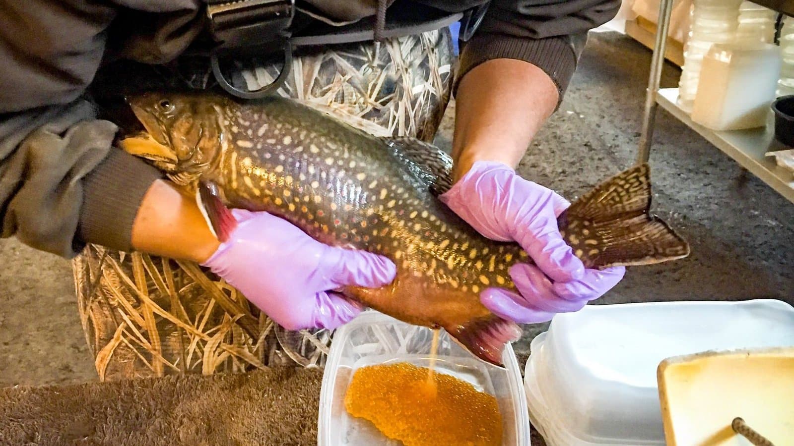
Brook trout channels. Just north of the bridge at the head of Lower Dewey Lake, the trail crosses braided channels. Widening and filling the current alignment could disturb spawning channels and change drainage. Moving the trail would mean cutting many trees, possible effects on wetlands and a new corridor. An elevated boardwalk with short bridges would cost more up front, would have to carry equipment loads and would need more upkeep.
Segment C. Upgrading the existing ATV trail, with grades up to about 33 percent, would disturb more ground and cut fewer trees but keep construction traffic on the Lower Dewey Lake trails longer. The new ridge alignment in the design would disturb less ground and cut more trees but shorten that traffic.
Public access afterward. The project reduces rockfall risk but does not remove it, and the route would also serve emergency access and future mitigation. Options range from a locked gate, ropes or chains, boulders and signs to open recreational access.
Resident comments
The written comments posted before the work session that could be reviewed opposed or questioned the route.
Andrew Cremata asked what engineers would do to protect spawning habitat at the mouth of the creek, which he wrote is "the ONLY spawning habitat for brook trout in the lake." The memo says only that the channels "support brook trout spawning." Michael Yee wrote that a road along the historic trail would "permanently compromise its historic character." Reuben Cash, a former resident, wrote that road work involving blasting, tree removal or changes to drainage "will certainly increase rockfall susceptibility."
Cremata also argued that the borough must amend or repeal its Dewey Lakes Recreation Area Management Plan, part of borough code, before it can legally build a road. The plan bars motor vehicles in undesignated areas and "Residential, industrial and commercial structures and other intensive developments." It allows access for watershed and hydroelectric facilities. It does not list roads among prohibited uses.
The Nov. 19 agenda includes a borough attorney's memo on the management plan, which was not posted on the meeting page. The Assembly meets at 7 pm Thursday at City Hall, with public comment time set aside for rockslide-related comments.
What did you make of this story? (no account needed)
Made by our human newsroom with AI. How humans and AI work here · Grow with our newsroom ·
Get Alaska News in your inbox
Create your free account and get the day’s top stories around 6 each morning, in a few minutes’ read.
Top stories, around 6 each morning.
Stories on what you follow, on Sundays.
Source: Municipality of Skagway, Skagway manager asks Assembly to send rockslide trail questions, from brook trout spawning channels to a permanent 10-foot trail, to a committee as the project slips.



Comments
Sign in to leave a comment.
No comments yet. Be the first to share your thoughts.