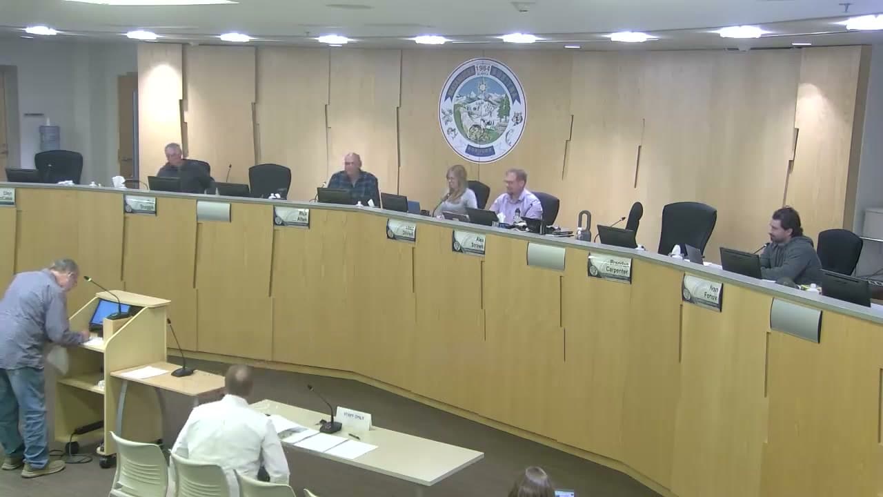
Mat-Su commission backs the $9 million road route over the $30 million one
The Matanuska-Susitna Borough Planning Commission rejected a northern route for a new connector between Engstrom Road and Trunk Road on Monday and instead backed a southern route that speakers put at roughly $9 million. The northern option was cited at $21 million to $31 million, more than twice the southern estimate.
Six commissioners voted against the main motion, and it failed. Planning and Land Use Director Alex Strawn then read a substitute measure backing the southern route into the record, and the commission adopted it without objection.
The substitute rests largely on safety. It finds that a southern connector between Trunk Road and Engstrom Road would give Central Gravel Products an alternative primary access, and would pull the majority of the company's truck traffic off the stretch of Bogard Road between Trunk and Engstrom and out of the Engstrom-Bogard intersection. It also contrasts the strong opposition of northern-route landowners to negotiating right-of-way with the southern route's primary property owner, who has gone on record offering to provide it.
Cole Branham, the borough's project management division manager, had recommended the northern route. He said it offered "the best overall balance of connectivity, resilience, access, future growth, and public support for this project," and would carry nearly double the traffic, a little over 1,300 vehicles per day against roughly 740 for the southern route.
That recommendation differs from the borough's own published project materials, which identify the southern alignment as preferred based on long-term planning, topography, use and public input. Neither Branham nor the commissioners reconciled that with his later remark that no funding has been identified to move the project into design at all.
The southern route runs about 0.9 miles, beginning roughly 0.4 miles north of the Bogard-Engstrom intersection and merging into North Old Homestead Road. It was the alignment presented to voters in TIP 21 and identified as preferred in an October 2025 route selection report.
Several residents testified for it. Rod Hanson, speaking for the North Lakes Community Council, said his council and the Fishhook Community Council both strongly support a southern route and that it "should have been built years ago." Gravel pit owner Jade Laughlin was blunter: "The southern run is the only one that makes sense. The borough can't afford $30 million, much more than they can't afford $9 million."
The substitute now goes to the borough assembly. No funding has been identified to carry the project into design.
This article is based on a public meeting of Matanuska-Susitna Borough — Mat-Su Borough: Planning Commission Meeting - August 3rd, 2026 ().
Drafted with AI. Edited by Cale Green (1 revision). No full editor review is on record. Who is accountable. Transcript byLucas Brown
Watch key moments from the source meeting. Click to expand.
Stay informed. Support what matters.
Free, permanent access to local news you can verify. Subscribe to support Walter AlaskaNews and go ad-free.
Related Coverage
Mat-Su picks a pricier road route over its advisors and landowners
Alaska News · 2d ago
Mat-Su cut school walking paths from its short-term road list
Alaska News · 2w ago
Two Mat-Su subdivisions approved — and the small details say something about how the borough is growing
Alaska News · 3mo ago
Landowner gets variance to split land off Wasilla-Fishhook Road
Alaska News · 1mo ago
Mat-Su Platting Board approves Starlight Subdivision master plan over neighbor objections
Alaska News · 2mo ago
Comments
Sign in to leave a comment.
No comments yet. Be the first to share your thoughts.