
AI image
Gusts reached 111 mph on high ground near Metlakatla as storm cut power in Ketchikan
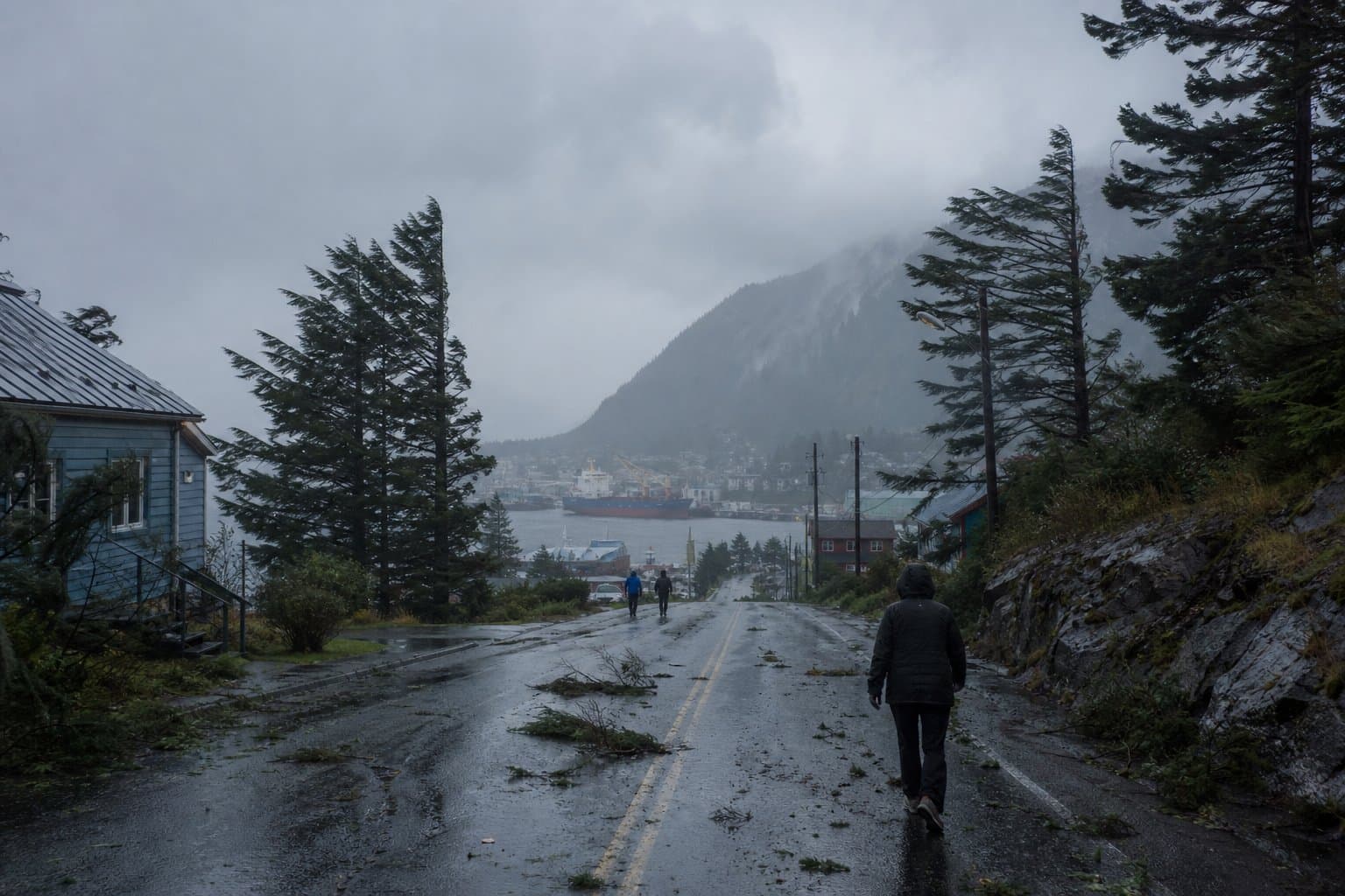
Wind gusts reached 111 mph on high ground near Metlakatla on Thursday, according to preliminary National Weather Service storm reports, as the storm knocked trees into power lines in northern Ketchikan.
The storm followed a Wednesday gust of 87 mph at a station near Metlakatla, as Alaska News reported Nov. 4, ahead of the Weather Service's high wind warning for Annette Island, Ketchikan Gateway Borough and Prince of Wales Island.
Ketchikan's fire chief reported multiple trees down in northern Ketchikan, including trees in power lines that caused an outage, and a tree blocking Fair Street near City Park. A Thursday afternoon Facebook alert from Ketchikan Public Utilities' electric division said crews were working to restore power after multiple outages from downed trees and branches. It urged drivers to use caution and stay in their cars near downed lines. The utility's outage map Thursday evening showed an outage in the Ward Cove North and South area, covering Mud Bay, Refuge Cove, Peninsula Point and Shoreline Drive, with no widespread outages elsewhere. The utility has not said how many customers lost power or when it will be restored.
The 111 mph gust was recorded 2 miles east of Metlakatla at 12:15 pm. That location matches two stations near Chester Lake at about 860 feet; the report does not say which one. A 104 mph gust 2 miles south at 12:10 pm matches Yellow Hill Summit, at about 530 feet. Metlakatla's station, 45 feet up, recorded 66 mph.
The Weather Service had warned Wednesday of gusts up to 65 mph on Annette Island and 75 mph above 500 feet, and it raised the general figure to 70 mph late Thursday morning.
No damage, outages or injuries have been reported in Metlakatla. Forecasters have not said whether the top readings are credible or whether any is a record.
Elsewhere, gusts ran near or somewhat above the 60 mph forecast for Ketchikan and Prince of Wales Island: 69 mph at Ward Cove, about 61 mph at Ketchikan International Airport, 68 mph at Coffman Cove, 67 mph near Thorne Bay and 64 mph at Hydaburg. A Coffman Cove spotter reported flickering power, multiple trees across Loggers Lane, a small debris flow and spotty water over the road.
The storm follows other recent damage. Gov. Mike Dunleavy declared a state disaster for Ketchikan Gateway Borough in October after a landslide damaged the Ward Cove substation. Ketchikan's damage estimate from that storm topped $4 million, including a collapsed harbor storm drain, and the state stepped in to help pay, Alaska News reported Oct. 20.
The Ketchikan City Council's agenda for Thursday night listed a $325,000 budget transfer for KPU's electric division, $275,000 of it for overtime.
The Weather Service's afternoon forecast discussion expected winds to ease across Southeast Alaska, with another low pressure system bringing stronger winds toward Sitka on Friday and, by most models, the next strong low reaching the Panhandle Sunday.
What did you make of this story? (no account needed)
Made by our human newsroom with AI. How humans and AI work here · Grow with our newsroom ·
Get Alaska News in your inbox
Create your free account and get the day’s top stories around 6 each morning, in a few minutes’ read.
The day's top stories around 6 each morning. Unsubscribe in one click.
Source: National Weather Service, Stations above 500 feet near Metlakatla logged gusts to 111 mph on Nov. 5 as the storm downed trees and cut power in northern Ketchikan.










Comments
Sign in to leave a comment.
No comments yet. Be the first to share your thoughts.