AI image
Flood watch for Kwethluk, Kasigluk and Bethel runs through Saturday afternoon
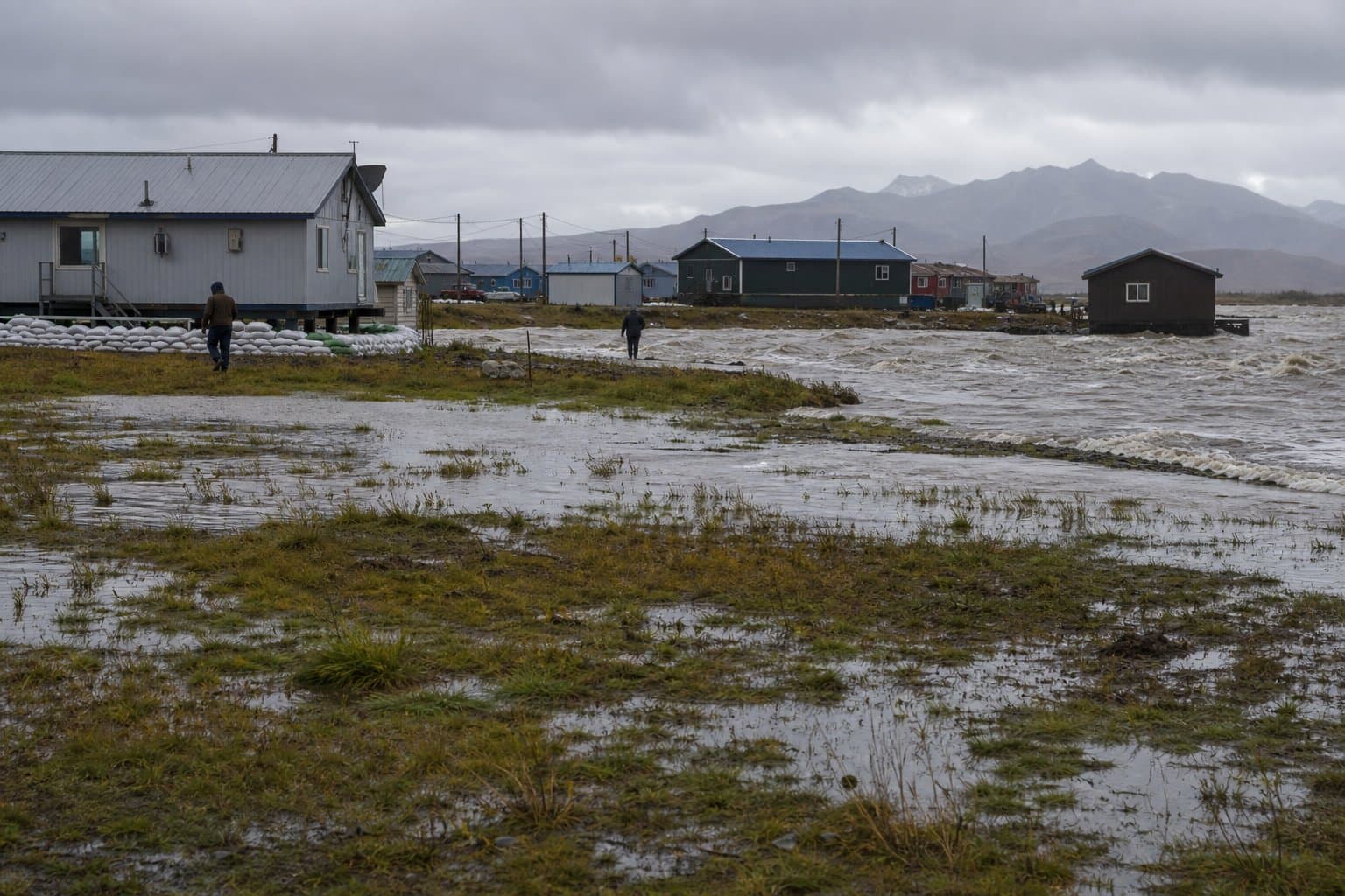
A National Weather Service flood watch covering Kwethluk, Kasigluk, Bethel, Napaskiak, Napakiak, Oscarville and nearby villages remains in effect through Saturday afternoon, Sept. 26, 2026. Forecasters expect 1 to 2 inches of rain across the Kilbuck Mountains and the lower Kuskokwim. That rain will fall onto a river already running above the 90th percentile in flow for late September.
Creeks and streams may rise out of their banks. Low-water crossings may flood.
The Interior Kuskokwim Delta flood watch, issued by NWS Anchorage, names two communities as the most likely to see water. "Confidence is moderate-to-high that flooding of low-lying areas will occur for Kwethluk and Kasigluk, where high-water was reported last week," the watch said. Confidence is lower elsewhere, the office said. That confidence depends on how much rain falls and how much the coastal surge and tide cycle compound it.
The rain could worsen high water on the Kwethluk and Johnson rivers and raise flood risk in the tundra villages along them, along with smaller tributaries and sloughs of the Kuskokwim.
The lower river has been high for weeks. Alaska News previously covered flooding in low-lying parts of Bethel during the mid-September storm, when the river rose above the 8.5-foot minor flood stage. The Alaska-Pacific River Forecast Center's September river notes record a Bethel gauge peak of 9.40 feet on Sept. 15 and document flooding at Kwethluk, where levels rose for several days before leveling off Sept. 18.
On the coast, the picture eased. The coastal flood warning for the Kuskokwim Delta Coast and Nunivak Island, including Kwigillingok and Kipnuk, expired at 4 a.m. Saturday. That warning had forecast water levels averaging 0.6 to 1.6 feet above the normal highest tide line. NWS Anchorage said Friday that significant moderate-to-major flood impacts were no longer expected there. Minor impacts are still forecast for both villages.
The agency directs residents to the state flood inundation maps at maps.dggs.alaska.gov/akfit for local impact information. It advises those in flood-prone areas to be ready to act if a flood warning follows.
Source: National Weather Service ().
AI-assisted. No editor review is on record for this article. Who is accountable.
Stay informed. Support what matters.
Free, permanent access to local news you can verify. Subscribe to support Maggie AlaskaNews and go ad-free.
Related Coverage
10 Kuskokwim Delta villages named in flood outlooks for Friday
Alaska News · 2w ago
Kipnuk and Kwigillingok face coastal flooding as rain threatens Kwethluk and Kasigluk again
Alaska News · 3d ago
Bethel flooding is forecast to return with Thursday morning's tide
Alaska News · 1w ago
Forecasters flag Kwigillingok as water rises along the Kuskokwim Delta coast
Alaska News · 3w ago
NWS tracks Bering Sea low that could raise Yukon Delta water 1 to 3 feet
Alaska News · 4d ago
Comments
Sign in to leave a comment.
No comments yet. Be the first to share your thoughts.