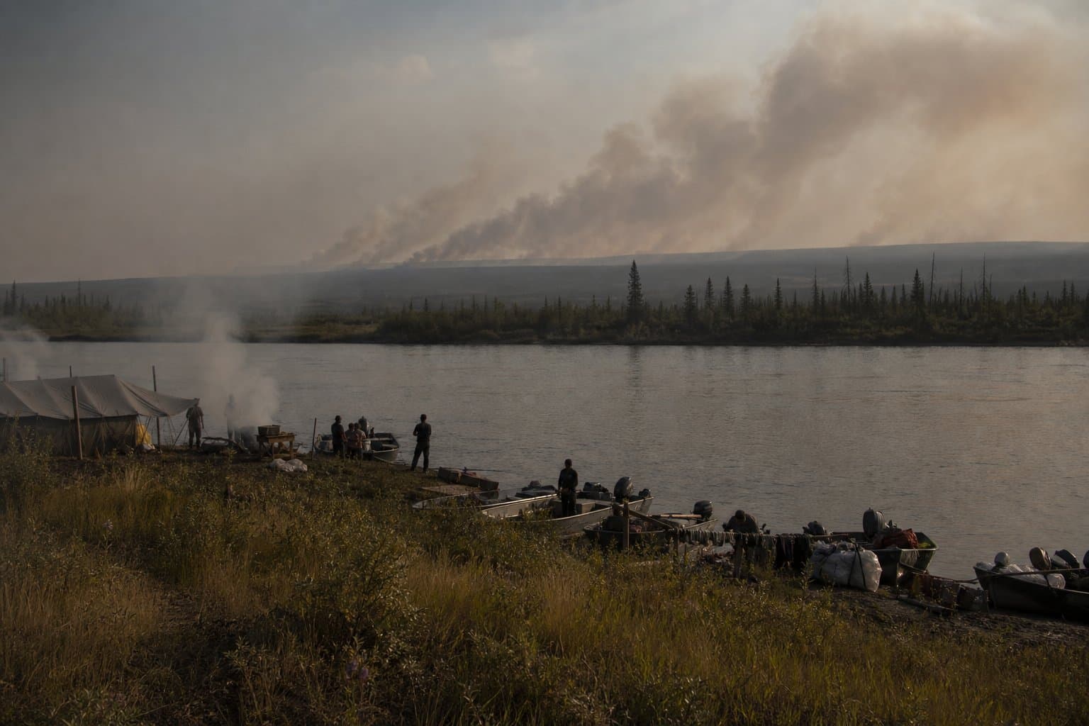
AI image
Fire Weather Watch issued for Lower Kobuk Valley through Wednesday
A Fire Weather Watch is in effect for the Lower Kobuk Valley, issued by the National Weather Service in Fairbanks, running Wednesday morning through Wednesday evening.
The watch covers forecast zone AKZ916. Temperatures are forecast to reach around 80 degrees, humidity could drop to 35 percent, and gusts near thunderstorms may hit 30 mph. NWS Fairbanks warned that fuels across the valley are dry and burnable: "Any lightning can cause new ignitions since the fuels are dry and burnable."
What the Watch Means
A Fire Weather Watch is one step below a Red Flag Warning. It means conditions could produce a Red Flag event. If thunderstorm coverage increases or humidity drops further Wednesday, NWS Fairbanks could upgrade the watch. The agency noted uncertainty about how far north the storms will travel, saying they could reach "potentially as far north as the North Slope."
Wider Fire Weather Picture
The Lower Kobuk Valley watch sits alongside active Red Flag Warnings already in effect Tuesday for the Northern Seward Peninsula, Upper Kobuk Valleys, and Lower Koyukuk Valley, where humidity is forecast as low as 30 percent, as well as for the Interior Seward Peninsula and Middle Yukon Valley. NWS Fairbanks said eleven new wildfires were discovered over a recent two-day stretch, and Red Flag Warnings cover much of the Western Interior and Seward Peninsula. A Heat Advisory is also in effect for the Yukon Flats, with temperatures forecast to reach as high as 85 degrees.
Residents in the Kobuk drainage should monitor NWS Fairbanks updates through Wednesday evening.
Assembled from public records the newsroom collected.
AI-assisted. How we use AI
Stay informed. Support what matters.
Free, permanent access to local news you can verify. Subscribe to support Maggie AlaskaNews and go ad-free.
Related Coverage
NWS issues overlapping fire-weather alerts across northern Alaska through July 9
Alaska News · 2mo ago
Red Flag Warnings cover five western Alaska regions Tuesday as lightning threat may push to North Slope
Alaska News · 3mo ago
Heat and fire risk converge across Interior Alaska for solstice weekend
Alaska News · 3mo ago
Alaska's quiet June fire season faces July's heat and lightning
Alaska News · 3mo ago
Red Flag Warnings hit Southwest Alaska three days running
Alaska News · 4mo ago
Comments
Sign in to leave a comment.
No comments yet. Be the first to share your thoughts.