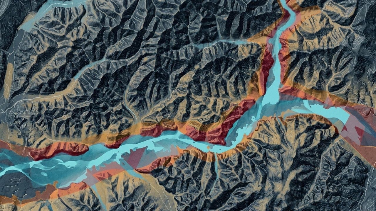
Editorial map (Gemini + Google Maps)
Fairbanks flood maps are final. Borough page still points to appeals
New federal flood maps for the Fairbanks North Star Borough take effect Jan. 8, but residents looking for information on the borough website are still directed to a page that calls the maps preliminary and invites appeals.
That window is closed. FEMA made the flood hazards final Aug. 21, after the appeal period ended in 2025 without an appeal, according to the borough's hazard plan.
The borough's floodplain management page still links to a FEMA Region 10 story map that says residents may submit comments and appeals. The story map was last updated in August 2025, before FEMA completed the process.
The outdated guidance matters because the new boundaries carry real consequences.
Alaska News previously reported that 2,881 structures would leave the high-risk flood zone and 538 would enter it. Properties entering the zone will generally require flood insurance when they carry federally backed mortgages. The maps also establish the elevations and construction standards that apply to new development.
A separate Alaska News review found that only about one in four homes already inside the borough's mapped flood zone carried flood insurance this summer.
The appeal deadline has passed, but owners newly placed in a high-risk zone still have time to reduce the immediate insurance cost. FEMA's Newly Mapped discount applies when an eligible policy takes effect within 12 months after the revised map becomes effective. The discounted premium then moves toward the property's full-risk price over time, generally subject to an annual increase cap.
The borough must adopt the maps, or demonstrate that equivalent floodplain rules are already in effect, to remain eligible for the National Flood Insurance Program. Participation allows residents to buy federal flood insurance and preserves mortgage financing for properties in high-risk areas.
The new maps cover the entire borough. Much of the region has relied on maps dating to 1992, although Fairbanks, North Pole and the Chena Slough area received partial updates in 2014 and 2020.
Residents can check a parcel through FEMA's Map Service Center or contact the borough floodplain administrator at 907-459-1260. FEMA also identifies the Community Planning Department at 907 Terminal Street in Fairbanks as the local map repository.
Source: New flood maps for the whole Fairbanks North Star Borough take effect on 8 January. The page the borough sends residents to still says they are preliminary and can be appealed ().
Drafted with AI. Edited by Cale Green (1 revision). Reviewed by Cale Green. Who is accountable.
Stay informed. Support what matters.
Free, permanent access to local news you can verify. Subscribe to support Walter AlaskaNews and go ad-free.
Related Coverage
Fairbanks gets new flood maps in January, and most homes in the zone are uninsured
Alaska News · 1w ago
New flood maps would end mandatory flood insurance for thousands of Fairbanks properties
Alaska News · 2w ago
A Fairbanks lot split turns up permit and floodway snags
Alaska News · 2mo ago
Fairbanks Borough mails 2026 property assessment notices
Alaska News · 7mo ago
One Floodplain Study Stands Between Fairbanks and a Finished River Walk
Alaska News · 2mo ago
Comments
Sign in to leave a comment.
No comments yet. Be the first to share your thoughts.