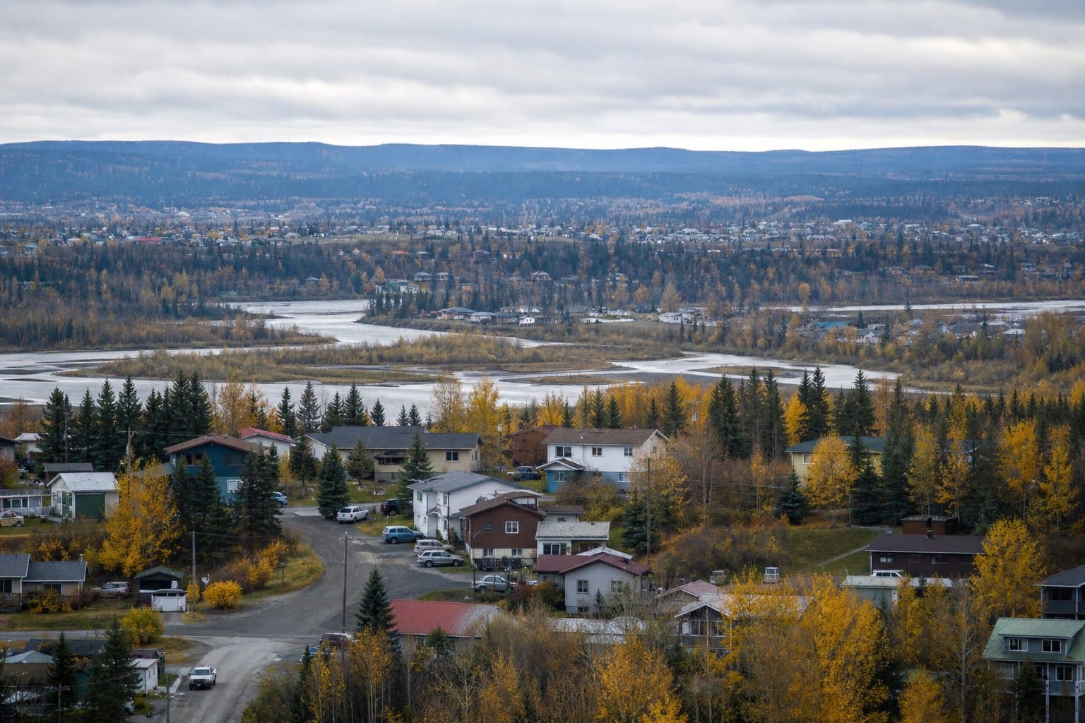
AI image
New flood maps would end mandatory flood insurance for thousands of Fairbanks properties
New federal flood maps would take 2,343 more structures out of the Fairbanks North Star Borough's high-risk flood zone than they put in, ending a mandatory flood insurance requirement for thousands of property owners. The Planning Commission holds a public hearing Tuesday, Sept. 8, at 6 pm on the ordinance adopting the maps, then sends a recommendation to the Assembly.
The revised maps would take out 2,881 structures and bring in 538 when they take effect Jan. 8, 2027. About 11,500 properties, roughly a fifth of the borough, sit in the zone under the current maps, so about a quarter of them would come out.
Being inside the zone matters because a structure there with a federally backed mortgage has to carry flood insurance. Owners of the 538 structures moving in would face that requirement for the first time if their mortgage is federally backed. Nobody appealed the new boundaries; the appeal window closed Dec. 15 with no filings.
The borough asked for the remapping after the 2014 maps swept thousands of properties into the zone. Newer lidar elevation data and two-dimensional flood modeling redrew the lines. Property owners can look up what changes for their own parcel at www.fnsb.gov/floodmap.
The ordinance, sponsored by Mayor Grier Hopkins, also rewrites borough rules on floodways, crawlspaces and accessory structures to match federal standards. FEMA issued its final determination on the maps July 8, and the borough has to adopt them by Jan. 8 to stay in the National Flood Insurance Program.
Source: Fairbanks North Star Borough Planning Commission.
Made by our human newsroom with AI. How humans and AI work here · Grow with our newsroom
Stay informed. Support what matters.
Free, permanent access to local news you can verify. Subscribe to support Maggie AlaskaNews and go ad-free.
Related Coverage
Fairbanks gets new flood maps in January, and most homes in the zone are uninsured
Alaska News · 1mo ago
Fairbanks flood maps are final. Borough page still points to appeals
Alaska News · 1mo ago
Fairbanks rewrites Chena riverfront rules; its own 2019 warning was never acted on
Alaska News · 3w ago
Fairbanks subcommittee drafts new Chena River plan with freeze, salmon, and flood goals
Alaska News · 3mo ago
Anchorage may let its planning director redraw wetland maps as wetlands shift and dry up
Alaska News · 1mo ago
Comments
Sign in to leave a comment.
No comments yet. Be the first to share your thoughts.