
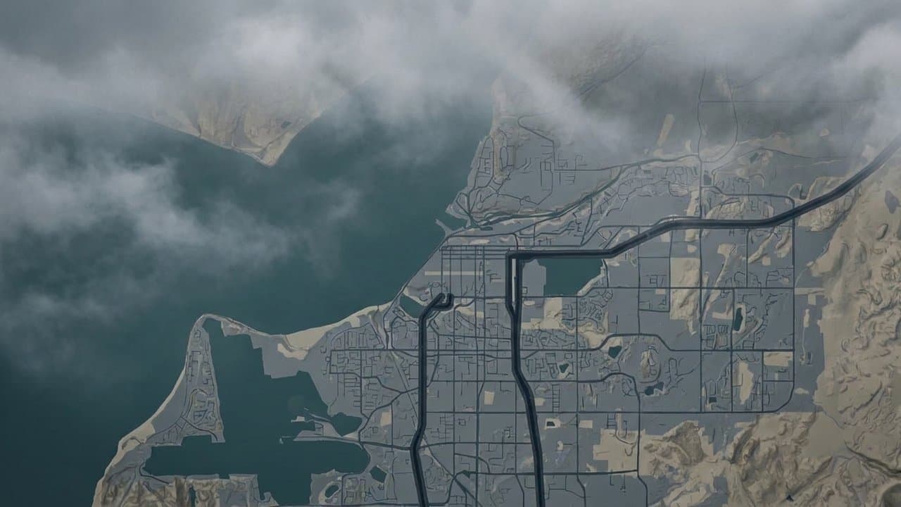
AI image
Dense fog cuts visibility in Anchorage and Mat-Su ahead of winter weather advisory
Dense fog cut visibility to a quarter mile or less across Anchorage and the Mat-Su on Saturday morning. The National Weather Service extended its fog advisory to 11 am, saying the fog was likely to linger through midmorning.
The advisory covered Anchorage, Eagle River, Eklutna, the Lower Matanuska Valley and the Central and Southern Susitna Valley, including Wasilla, Palmer, Butte and Chugiak. The weather service warned of hazardous driving in the fog and said roads and other surfaces could turn slick.
The Anchorage zone forecast called for patchy freezing fog, with "visibility one quarter mile or less at times in the morning."
The Anchorage Office of Emergency Management, sharing the advisory on Facebook, said the fog was causing low visibility and difficult travel. "If driving please slow down and use caution," the office said.
Saturday was the third fog advisory morning for Anchorage in less than three weeks. On Oct. 27, the weather service extended an Anchorage dense fog advisory to 2 pm and warned of black ice, and another advisory covered Anchorage the next morning, Oct. 28.
A winter weather advisory replaced an earlier winter storm watch Saturday morning. It runs from 10 pm Saturday to 10 pm Sunday in Anchorage and Eagle River. The weather service advisory forecasts 3 to 9 inches of snow, least near Chugiak and most in South Anchorage and on the Hillside, plus a light glaze of ice. It says travel could be very difficult. Warmer air aloft is forecast to bring mixed snow and freezing rain by late Sunday evening. The Mat-Su valleys are not included.
Forecasters expect a snow band to stall over Anchorage and the Kenai Peninsula. The weather service said there is still some uncertainty about where the heaviest band will develop, and that if it stays over Anchorage for an extended time, snow amounts could be higher.
East Turnagain Arm, including Portage and Girdwood, could get 6 to 12 inches from 5 pm Saturday to 11 pm Sunday. Whittier could also get 6 to 12 inches, with gusts to 40 mph, from 5 pm Saturday to 9 pm Sunday. Seward could get 2 to 4 inches from 10 pm Saturday to 5 pm Sunday.
On the Kenai Peninsula, advisories for the Interior Kenai Peninsula, Skilak Lake and Turnagain Pass run from 7 pm Saturday to 1 pm Monday. The Northwest Kenai Peninsula advisory forecasts 3 to 7 inches from 3 am Sunday to 7 am Monday. The Southwest Kenai Peninsula and Southern Kachemak Bay advisory forecasts 4 to 8 inches from 6 am Sunday to 10 am Monday. The weather service expects the Monday morning commute to be affected in those areas.
Drivers can check road conditions by calling 511 or visiting 511.alaska.gov.
What did you make of this story? (no account needed)
Made by our human newsroom with AI. How humans and AI work here · Grow with our newsroom ·
Get Alaska News in your inbox
Create your free account and get the day’s top stories around 6 each morning, in a few minutes’ read.
Top stories, around 6 each morning.
Stories on what you follow, on Sundays.
Assembled from public records the newsroom collected.







Comments
Sign in to leave a comment.
No comments yet. Be the first to share your thoughts.