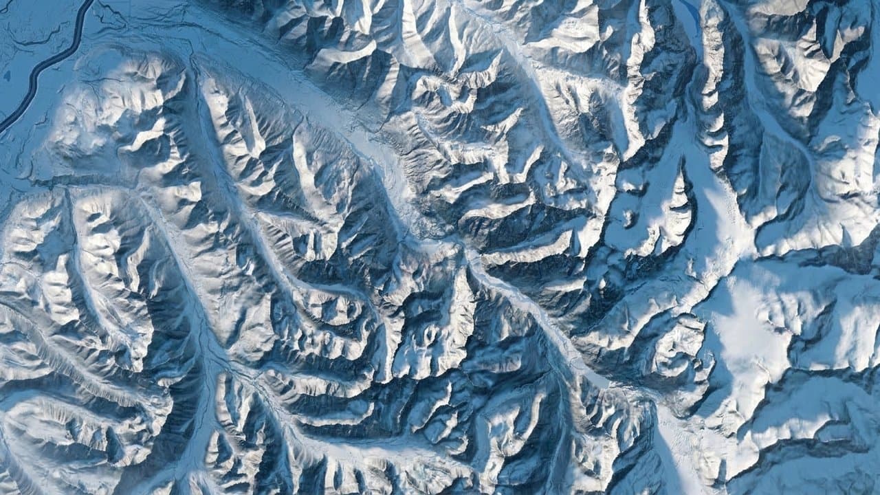
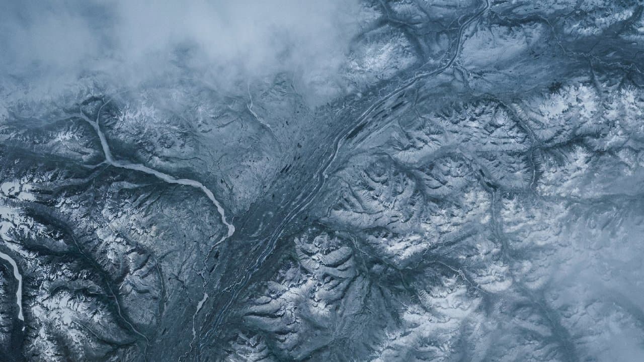
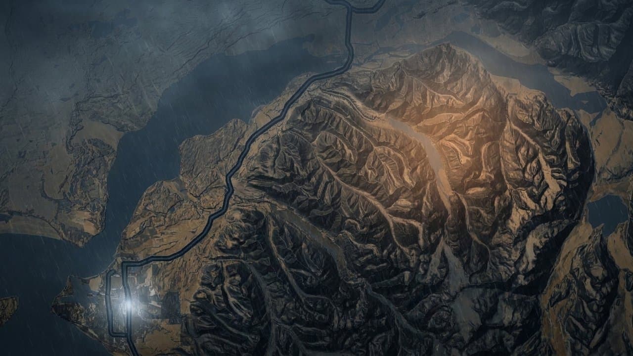
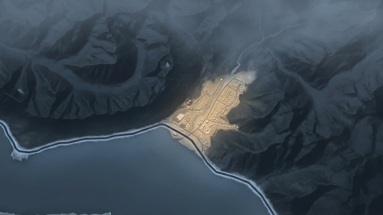
Editorial map (Gemini + Google Maps)
Chugach avalanche center warns people could trigger slides on wind-loaded slopes after storm
The Chugach National Forest's avalanche center said Friday evening that after this week's storm, a person could trigger an avalanche 1 to 2 feet deep or deeper on wind-loaded slopes.
Winds may increase Saturday, and with plenty of loose snow to move, the danger may rise, the center said. Strong winds during the storm may have formed wind slabs at higher elevations, it said. It told people to look for stiff snow sitting on softer snow. The center expects southeast winds of 10 to 30 mph to peak Saturday evening, reaching 40 mph on the Chugach Front Range. It said those winds will likely build fresh slabs into Sunday.
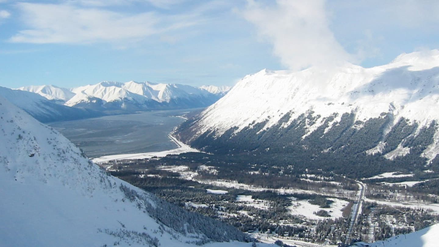
Upper elevations around Girdwood and Portage got significantly more snow, up to 4.5 feet, and "could produce larger avalanches," the center said. On Friday, observers reported large storm-snow slabs that had released on their own in Girdwood Valley. At Turnagain Pass, avalanches released naturally during the storm on Seattle Ridge and in Todd's Run. Natural wind slab avalanches were also seen on Ptarmigan Peak in Chugach State Park.
The center said to avoid slopes steeper than 30 degrees where blowing snow on ridgelines or pillowed snow shows recent wind loading. A test pit the center dug Friday on Seattle Ridge showed unstable results within the storm snow.
"The snowpack is untested by a storm of this size and we have sparse information this early in the season," the center said Wednesday, during the storm. On Friday it said it was still looking for weak layers.
The center said Wednesday that the storm, an atmospheric river, was bringing heavy precipitation and strong east winds to the region through Thursday evening. On the Anchorage Hillside, a trained spotter near Glen Alps measured 11 inches of wet, heavy snow Thursday night.
On Oct. 10, the Air Guard flew two people hurt in an avalanche near Eklutna Lake to an Anchorage hospital. Afterward, Graham Predeger of the avalanche center recommended that backcountry travelers carry a beacon, shovel and probe and said traveling with a partner is a good idea this time of year.
The National Weather Service expects high pressure to bring drier and clearer weather to much of inland Southcentral starting Saturday. The avalanche center's updates carry no danger rating for now. It will post its next one at chugachavalanche.org on Tuesday evening, Nov. 24, and begin daily forecasts with danger ratings Saturday, Nov. 28.
What did you make of this story? (no account needed)
Made by our human newsroom with AI. How humans and AI work here · Grow with our newsroom ·
Keep Alaska News free for everyone.
No paywall, ever. Members pay so everyone can read the meetings and records Alaska News covers.
Get Alaska News in your inbox
Create your free account and get the day’s top stories around 6 each morning, in a few minutes’ read.
Top stories, around 6 each morning.
Stories on what you follow, on Sundays.
Assembled from public records the newsroom collected.


Comments
Sign in to leave a comment.
No comments yet. Be the first to share your thoughts.