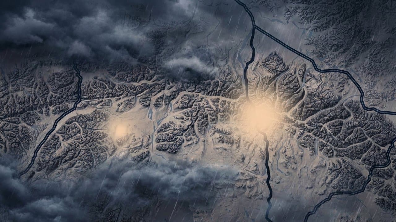
Editorial map (Gemini + Google Maps)
Champi's remnants bring high wind warnings to the Alaska Range and Delta Junction
The National Weather Service in Fairbanks extended its High Wind Warning to Delta Junction and Fort Greely late Thursday, calling for gusts up to 70 mph there until 4 pm Friday, as the remnants of ex-Typhoon Champi push strong south winds through the Alaska Range. The strongest gusts are expected around Fort Greely.
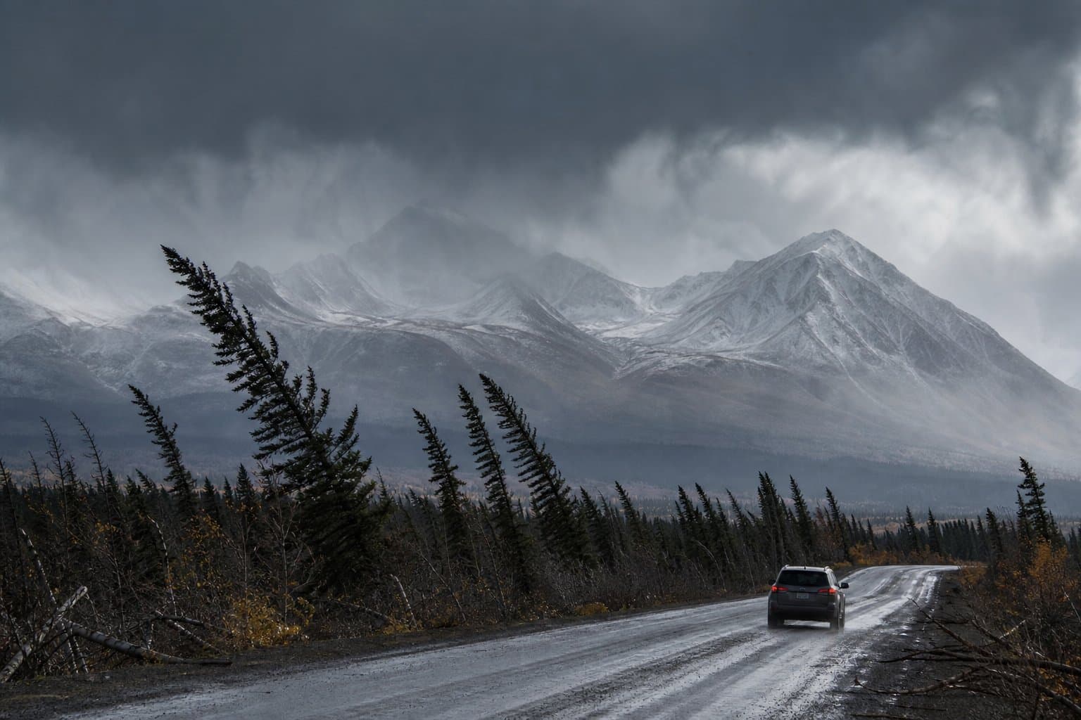
The warning was already in effect for the Alaska Range passes. The strongest winds are forecast north of Trims Camp on the Richardson Highway, between mileposts 224 and 259, a stretch that includes Black Rapids and Donnelly Dome. Forecasters call for south winds of 40 to 50 mph there and gusts up to 85 mph until 7 am Saturday, and described the area as Isabel Pass north of Trims Camp in their Thursday afternoon forecast discussion. The strongest winds were expected late Thursday night into Friday morning.
The weather service said the winds could blow around unsecured objects, bring down tree limbs, cause power outages and make driving difficult, especially for high-profile vehicles. The latest warning for the Richardson Highway stretch tells people to stay on lower floors, avoid windows, watch for falling debris and use caution if they must drive.
On the Parks Highway side, a warning for Windy Pass called for southeast winds of 30 to 45 mph with gusts up to 70 mph until 5 am Friday. Windy Pass was already gusting to 67 mph Thursday afternoon and Isabel Pass to 64 mph, forecasters said, with gusts over 70 mph likely Thursday night and Friday before the winds ease Friday night.
South of the passes, the storm brings snow. A Winter Weather Advisory for the southern Denali Borough calls for 4 to 8 inches until midnight Friday night, with the most between mileposts 215 and 225 on the Parks Highway, the stretch north of Cantwell up to about Carlo Creek. Gusts up to 30 mph could blow snow and cut visibility. Around Trims Camp on the Richardson Highway, the advisory calls for 6 to 12 inches through 7 am Saturday, and forecasters expect more at higher elevations.
North of the range, downslope south winds should keep Fairbanks and the southeast Interior mostly dry, forecasters said, with highs in the mid-30s to near 40, about 10 to 15 degrees above normal for late October.
On the West Coast, a High Surf Advisory for Hooper Bay calls for water 2.5 to 3.5 feet above the normal high tide during the Thursday and Friday high tides, which may affect beach property and the lowest buildings and cause some beach erosion. It runs until 1 am Saturday. The weather service eased its coastal flood alerts for Hooper Bay this week after the forecast track for Champi's remnants shifted south, a week after a flood warning there called for water up to 7.5 feet above high tide.
The passes were already windy this week. A Wind Advisory for Windy Pass and the Eastern Alaska Range north of Trims Camp called for gusts up to 65 mph from Wednesday morning until the warnings replaced it Thursday.
Another Bering Sea storm is expected early next week, but forecasters said models now favor a more southerly track, so winds in the passes aren't expected to be as strong as earlier forecasts showed. The weather service tells travelers to slow down and check 511.alaska.gov or call 511 for road conditions.
Assembled from public records the newsroom collected.
Made by our human newsroom with AI. Reviewed by Cale Green. How humans and AI work here · Grow with our newsroom
Stay informed. Support what matters.
Free local news you can verify. Support Alaska News and go ad-free.












Comments
Sign in to leave a comment.
No comments yet. Be the first to share your thoughts.