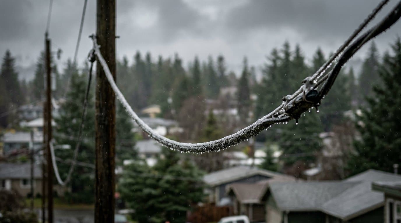
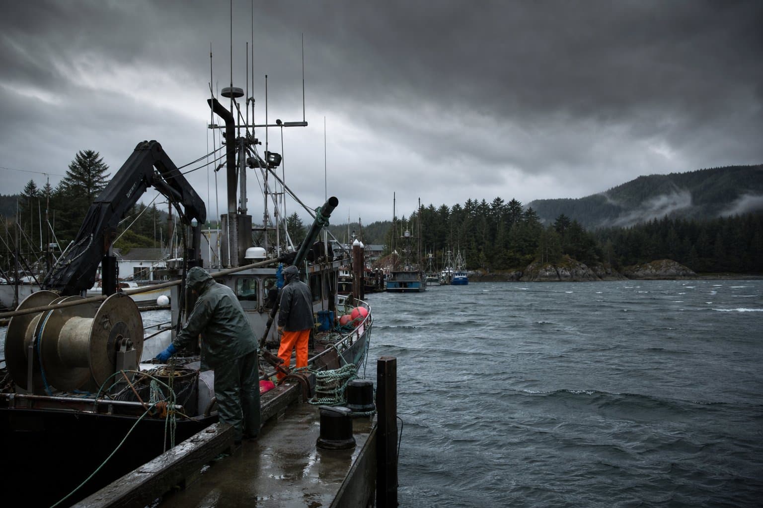
AI image
Back-to-back lows to bring gusty winds to southern Southeast through Wednesday night
Winds in southern Southeast Alaska are expected to ease this evening and pick up again after midnight, the National Weather Service in Juneau said in a wind advisory issued Monday afternoon for the Ketchikan Gateway Borough, Annette Island and Prince of Wales Island.
Southeast winds of 20 to 30 mph with gusts up to 45 mph are expected there from midnight to noon Tuesday. The wind could blow around unsecured objects and knock down tree limbs, and a few power outages may result, the advisory says. Winds should slowly ease Tuesday afternoon before another front moves in Tuesday night.
It's one of a series of low-pressure systems that forecasters expect to bring gusty winds to the southern Panhandle and the outer coast through Wednesday night. "We're pretty much having low after low hit the Panhandle," meteorologist Zoe Kaplan said in the Juneau office's Monday afternoon video briefing.
The first system put Prince of Wales Island under a high wind warning until 3 pm Monday. Gusts reached 54 mph near Hydaburg and at Sitka Monday morning, according to preliminary Weather Service reports, and a trained spotter reported a tree down at the foot of Sitka's O'Connell Bridge. Over the water, gusts hit 60 to 65 mph in southern Chatham Strait, southern Clarence Strait and Cross Sound, forecasters wrote in their afternoon forecast discussion.
A second, weaker low is expected to move into the southern Panhandle early Tuesday, Kaplan said. "The southern Panhandle and the outer coast is definitely going to feel the brunt of those winds through Tuesday morning," she said.
A third low, possibly weaker still, is expected in the southern Gulf of Alaska around Tuesday night. Kaplan said it will bring gusty winds to the central and southern Panhandle and the outer coast, with winds reaching the coast into Wednesday night. The northern and interior Panhandle should see less wind because the lows will be far off the coast, she said.
Sitka's advisory runs until 9 pm Monday, with gusts near 40 mph, and a second one runs from 6 am to noon Tuesday. Yakutat's runs until 5 am Tuesday, with east winds gusting up to 55 mph and peaking this evening.
The lows are bringing rain, too. Forecasters expect 0.75 to 1.25 inches in the southern Panhandle on Tuesday and possibly 0.5 to 1 inch more on Wednesday. There's a chance of isolated thunderstorms along the southern Panhandle coast Tuesday morning and again Tuesday night into Wednesday morning, the forecast discussion says.
A stronger atmospheric river, a long band of moist air, is expected to begin moving in Thursday morning, with the southern half of the Panhandle most likely to see longer, heavier rain. Forecasters cautioned that the timing, location and strength of the heaviest rain and wind could shift drastically.
On the water, storm warnings, a step above gale warnings, covered stretches of the outer coast from Cape Decision to Cape Suckling on Monday, some until midnight. Seas were forecast as high as 37 to 42 feet offshore between Cape Fairweather and Cape Suckling. A gale warning for Clarence Strait runs through 6 pm Tuesday, with gusts up to 55 knots, about 63 mph, and seas of 16 to 21 feet.
The lows come days after a Nov. 5 storm in which preliminary reports showed a 111 mph gust on high ground near Metlakatla and falling trees cut power in northern Ketchikan.
What did you make of this story? (no account needed)
Made by our human newsroom with AI. Reviewed by Cale Green. How humans and AI work here · Grow with our newsroom · Transcript byLucas Brown
Get Alaska News in your inbox
Create your free account and get the day’s top stories around 6 each morning, in a few minutes’ read.
Top stories, around 6 each morning.
Stories on what you follow, on Sundays.
This article is based on a public meeting of National Weather Service — NWS Juneau: Multiple Systems to Impact the Panhandle Early Week | November 9th, 2026 ().
Watch key moments from the source meeting. Click to expand.











Comments
Sign in to leave a comment.
No comments yet. Be the first to share your thoughts.